Waucheesi Mountain Overlook

Total Miles1.6
Technical Rating
3Easy
Best TimeSpring, Summer, Fall, Winter
Trail TypeFull-Width Road
Accessible By
Open Trail Map

Trail Overview

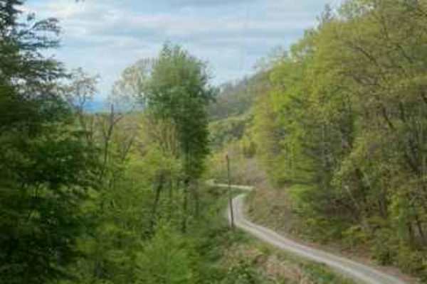
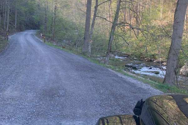
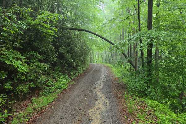
This trail is to the top of Waucheesi Mountain. Truly a beautiful sight to behold. The trail stems off of Bald river road in the Tellico Mountains. The trail starts on a nice gravel path that is a single-line road with steep slopes on one side. Be very careful while meeting oncoming traffic. Closer to the top there are some washouts that become deep at certain times of the year if unmaintained. You will be rewarded with beautiful views of the surrounding mountains at the top. Makes a great place to sit by a fire and soak in an East Tennessee sunset!

Photos of Waucheesi Mountain Overlook

Difficulty

One line trail that is narrow and washouts at the top of the trail have been known to become deep at certain times of the year.

Technical Rating

3

Status Reports

Add Status Report
Chris Hershey
Oct 27, 2026
2018 Toyota Tundra
Open
NormalDusty
Road was well maintained, gravel filled in lots of the ruts. Trail doesn't look heavily traveled, drove through many cobwebs on my way up the mountain. Didn't see anybody up here. Pretty steep incline, brakes were definitely feeling it on the way down. I used 4wd which helped. Use low gears going down, and let your brakes rest.
Nathan Ginn
Oct 26, 2026
2018 Subaru Forester
Open
NormalDusty
Eli Epley
Oct 19, 2026
2008 Toyota FJ Cruiser
Open
Normal
Definitely worth the drive up. Great view of the southern peaks and Cumberland Plateau. 3/10 rating
Owen sayle
Sep 04, 2026
2017 GMC Seirra 1500
Open
Once you turn off the main part of 126 it changes a lot. Gets very tight and there’s a good bit of washout and big exposed rocks
Bobby Dunn
Aug 06, 2026
2004 Land Rover Discovery
Open
Normal
Blake Welch
Jul 11, 2026
2019 Toyota 4runner
Open
Steven Miller
Jun 07, 2026
2026 Jeep Rubicon X
Open
Normal
Very narrow with many washboards. Unfortunately the view is obstructed by many trees and not as nice as Bucks Bald.
Mike Johnson
May 17, 2026
2012 Toyota Sequoia
Open
Normal
Trail in good shape up to the top.
Kassandra Knauer
Apr 18, 2026
2010 Jeep Wrangler
Open
On our way home for the evening we decided even thou it was dark we still wanted to go check out the overlook and watch the storm roll in. Easy Gravel Road to the top!
Nathan Allen
Jan 20, 2026
Open
Snow/Ice
The trail was mostly dry but there were some places along the way where the tracks were covered in ice. Other than that, the sky was clear and we were the only one up there.
Matthew Garner
Jan 17, 2026
Open
Muddy/WetSnow/Ice
Wasn’t bad until elevation starting climbing and temps were dropping the trail had some icy spots but made it up to the very top.
Hoss n Barb Hawgs
Dec 28, 2025
2024 TOYOTA 4RUNNER
Open
Muddy/WetNormal
Tight trail but mostly a glorified gravel road. All of it is doable in 2wd. Coming down is nice to slap it in 4lo and engine brake your way off the top. Very narrow as you get to the top
Charles Bourgeois
Nov 26, 2025
2023 RAM 1500
Open
Normal
Beautiful look out at the top. Easy trail. Did the entire thing in 2WD.
Dan Renegar
Jun 21, 2025
2022 Ford Bronco
Open
Normal
Steep shelf road that leads to a high point on the mountain near two radio towers. Tall bushes and growth to really experience a good view in the summer, but should be very good in the winter months. Be careful on this road as passing an oncoming vehicle is darn near impossible. Very narrow.
Gautam Shirsekar
May 08, 2025
2019 Toyota 4Runner
Open
This trail is now graded. It's pretty easy to get to the top, and the views are fantastic (as always)!

Waucheesi Mountain Overlook Trail can be accessed by the following ride types:

  • High Clearance
  • Full Width

Waucheesi Mountain Overlook Map

The onX Offroad Difference

onX Offroad combines trail photos, descriptions, difficulty ratings, width restrictions, seasonality, and more in a user-friendly interface. Available on all devices, with offline access and full compatibility with CarPlay and Android Auto. Discover what you're missing today!

Open Trail Map