Trail 43

Total Miles3.4
Technical Rating
4Moderate
Best TimeSpring, Summer, Fall, Winter
Trail TypeFull-Width Road
Accessible By
Open Trail Map

Trail Overview

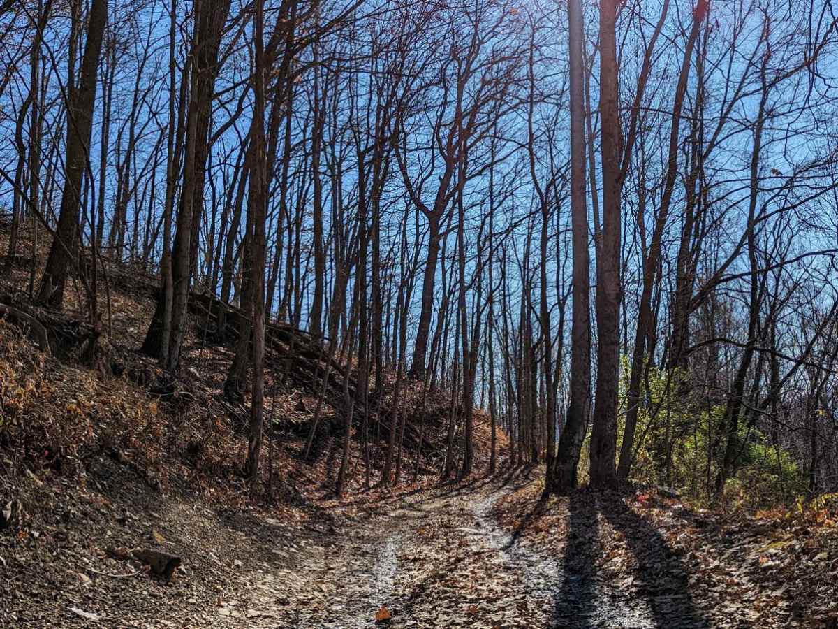
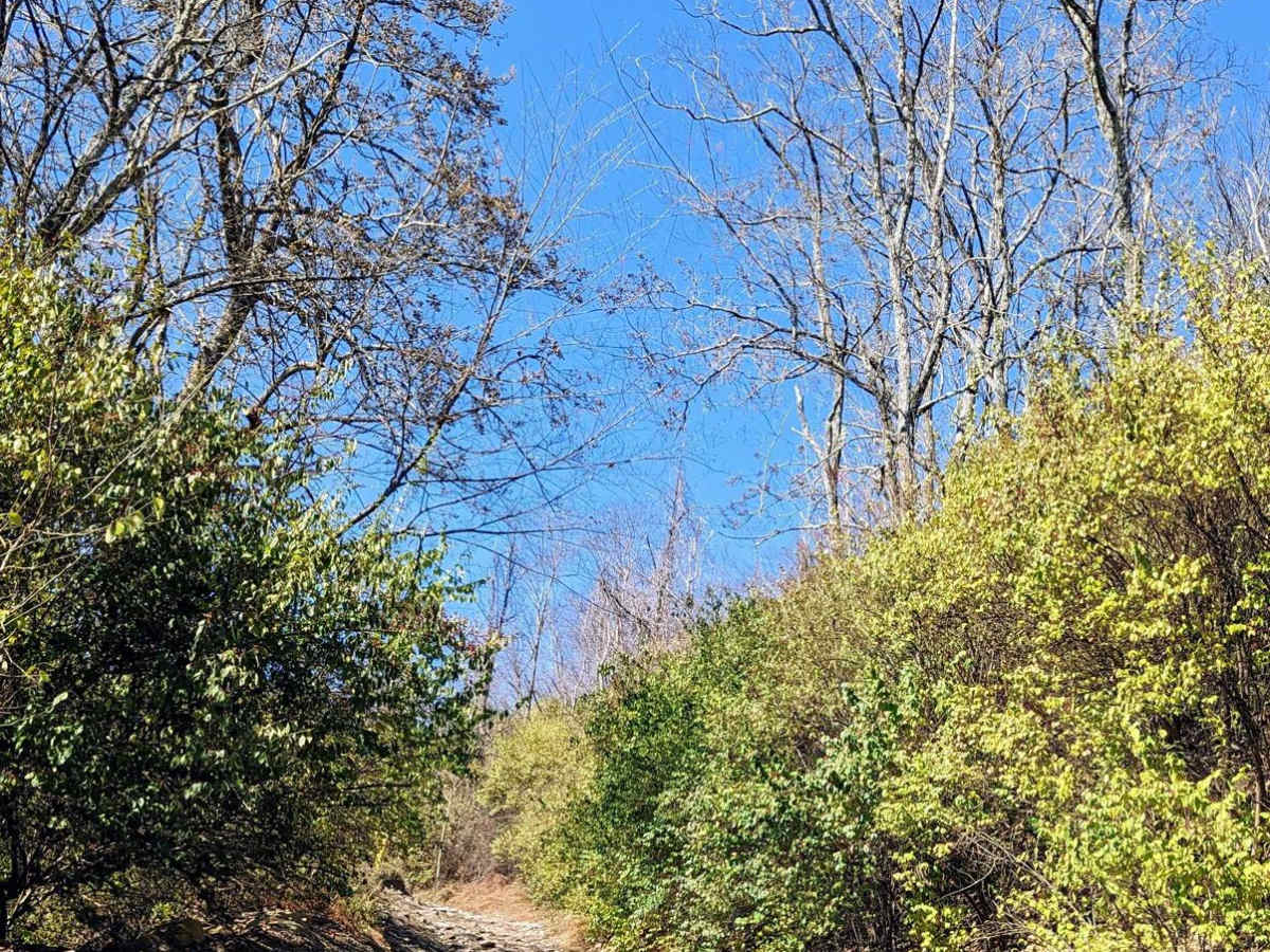
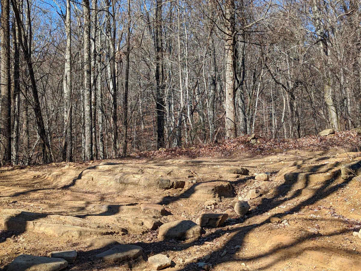
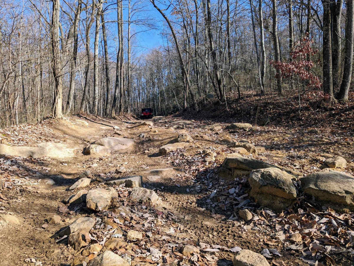
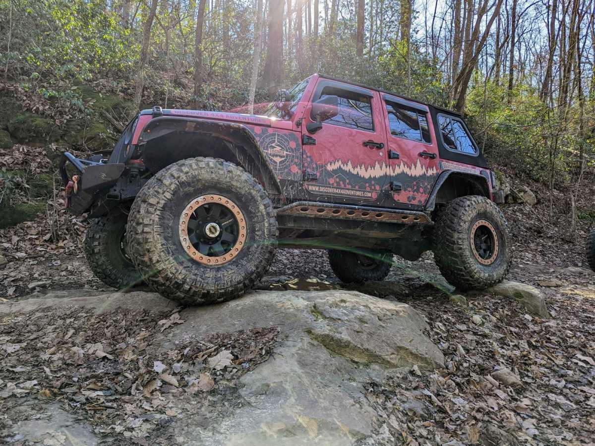
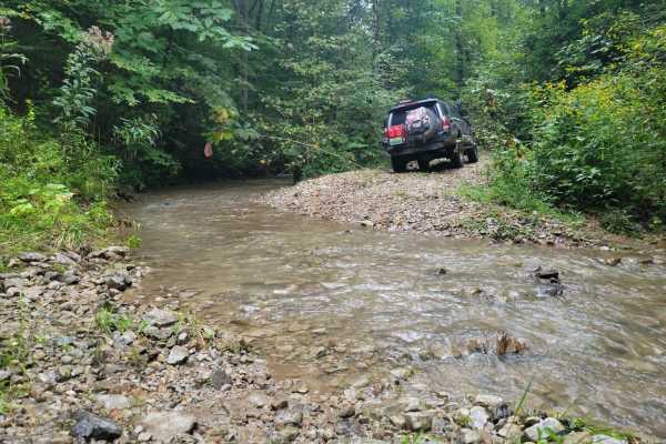
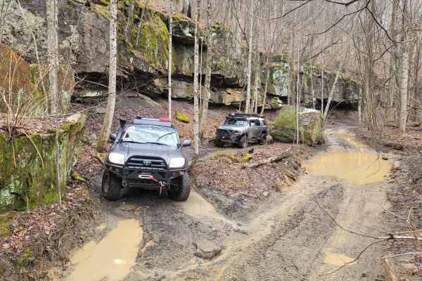
Trail 43 offers offroaders an engaging, scenic ridge-line run through the heart of the Cumberland Mountains, making it a perfect route for intermediate drivers seeking a mix of stunning vistas and moderate technical challenges. Spanning approximately 3.4 miles from Armes Gap near Highway 116, this trail snakes along the high ridges near Petros, Tennessee, passing landmarks like Wagon Rock and Big Fodderstack. Offroaders will navigate an elevation range from 2,133 feet up to a peak of 2,701 feet, tackling a series of moderate climbs and descents that feature rock-bottomed mud holes and ledge obstacles measuring up to 18 inches. This route is highly suited for high-clearance four-wheel-drive vehicles, SUVs, and SxSs looking to experience the rugged beauty surrounding the historic Brushy Mountain State Prison area. As the trail traverses the boundary of Windrock Park, drivers will notice a distinct transition in maintenance and difficulty. The section managed within Windrock Park limits maintains a milder rating of 3, featuring smoother paths and well-kept obstacles, while the unmaintained portion outside the park boundaries steps up to a rating of 4, presenting rougher, more eroded terrain that demands careful line selection. The route's primary surface consists of unpaved dirt and rock, which can become slick and muddy during wet seasons, requiring extra traction and recovery gear. To reach the trailhead, offroaders can easily access Trail 43 from either Highway 116 at Armes Gap or by connecting from Trail 42, providing a seamless addition to a full day of exploring the extensive Windrock trail network.

Photos of Trail 43

Difficulty

The trail within the park limits is a 3 rating, 4 outside of the park limits.

Technical Rating

4

Status Reports

Add Status Report
Taylor Klenke
Jul 10, 2026
Open
Muddy/WetRough/Deteriorated
Elijah B.
Mar 28, 2026
Open
Muddy/WetRough/Deteriorated
Trail conditions were overall good. Some puddles and standing water. Nothing too deep. Obstacles very challenging for full size vehicles. Definitely not a 4/10 on the difficulty scale. Wild day.
Logan fink
Aug 24, 2025
1997 Jeep Cherokee
Open
NormalDustyWashboard
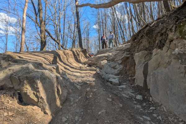
Started off fairly easy and fun with some slopes and decent size rocks then came around the corner to a super steep rutted out rock climb. This one wasn’t for the faint of heart rode up strattling one of the deep ruts with a large ledge and end up sliding the driver rear into the rut. Got lucky we didn’t roll on this one. Wish we could’ve made up this hill to hit the rest of the trail but decided to back down since the rest looked to get worse up the hill
Ken Clements
Aug 18, 2025
Open
The last 2 miles was a black trail all day long ! Glad we had others to help us thru and gravity. Would not try going up.
Krastio Lilov
Nov 28, 2024
2024 Jeep Wrangler
Open
Grade 3-4 sounds right for the Windrock portion of the trail. After that it was pretty rutted in places. Also somewhat slippery after the rain. Barely made it downhill in a Stock Wrangler on 33s. Don't think could have climbed it up.
Emmett bates
Jul 10, 2024
Open
DustyMuddy/WetRough/Deteriorated

Trail 43 Trail can be accessed by the following ride types:

  • Single Track
  • 50 Inch
  • 60 Inch
  • High Clearance
  • Full Width

Access Description

A land-use permit is required to ride the sections of Trail 43 that lie within Windrock Park. Permits must be purchased in advance from the Windrock Park trailhead office or online. The portions of the trail that extend outside the park boundaries are unmaintained public or private lands, where riders should exercise caution and respect local property lines.

Trail 43 Map

The onX Offroad Difference

onX Offroad combines trail photos, descriptions, difficulty ratings, width restrictions, seasonality, and more in a user-friendly interface. Available on all devices, with offline access and full compatibility with CarPlay and Android Auto. Discover what you're missing today!

Open Trail Map