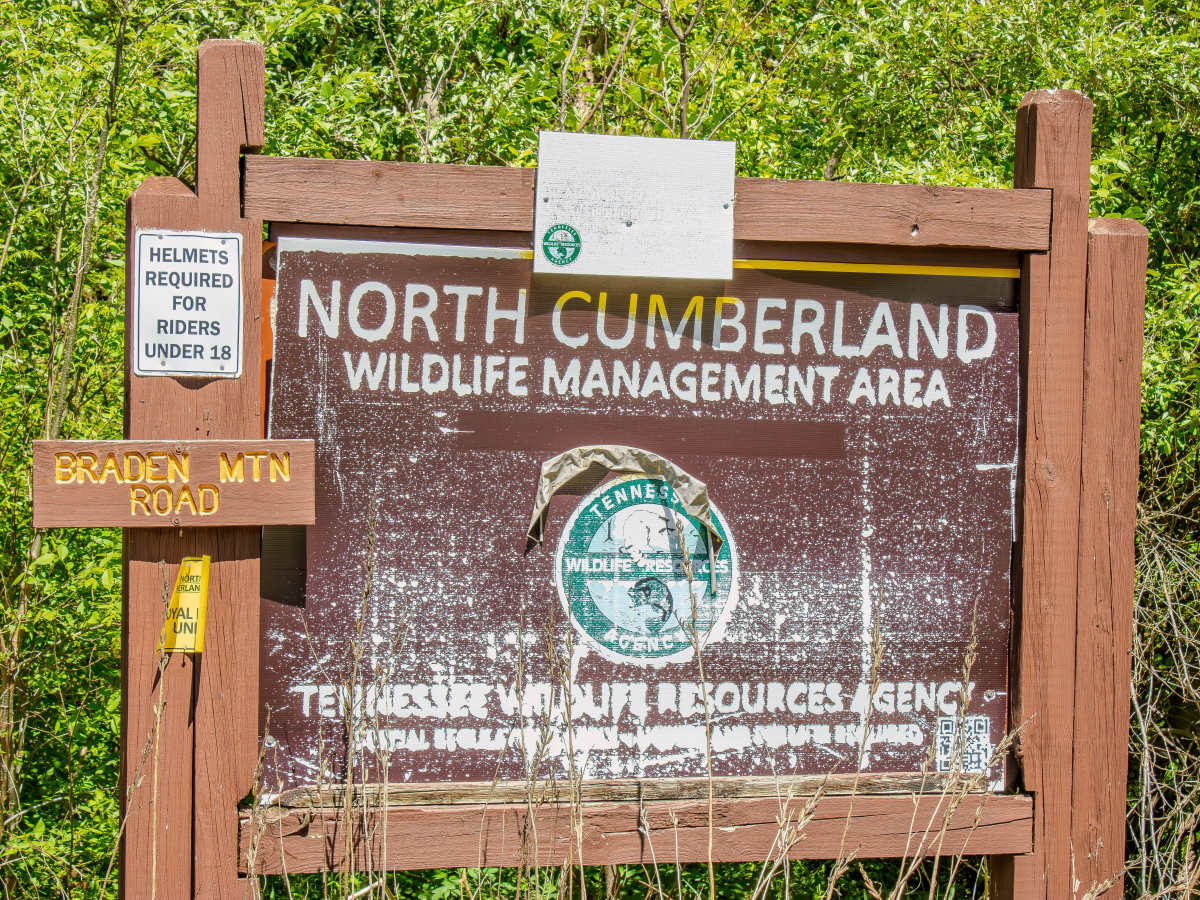
Trail Overview
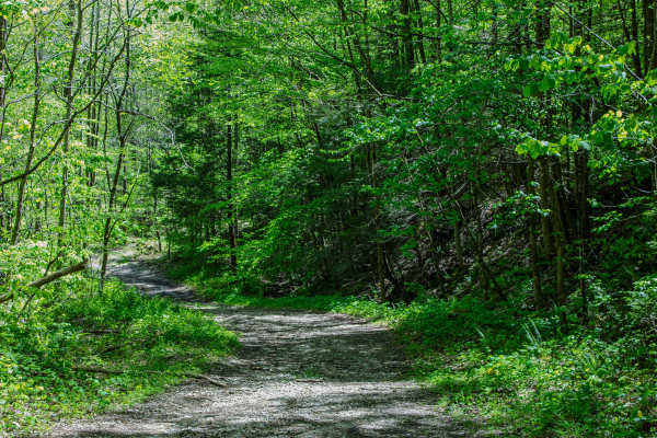
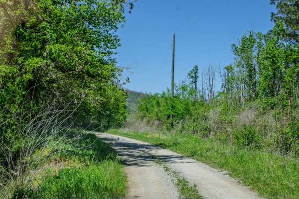
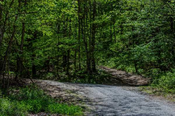
RBW 7 is a two-way gravel road that connects off Howard H. Baker Highway and climbs into the mountain area of the Royal Blue Riding Area and North Cumberland Wildlife Management Area.
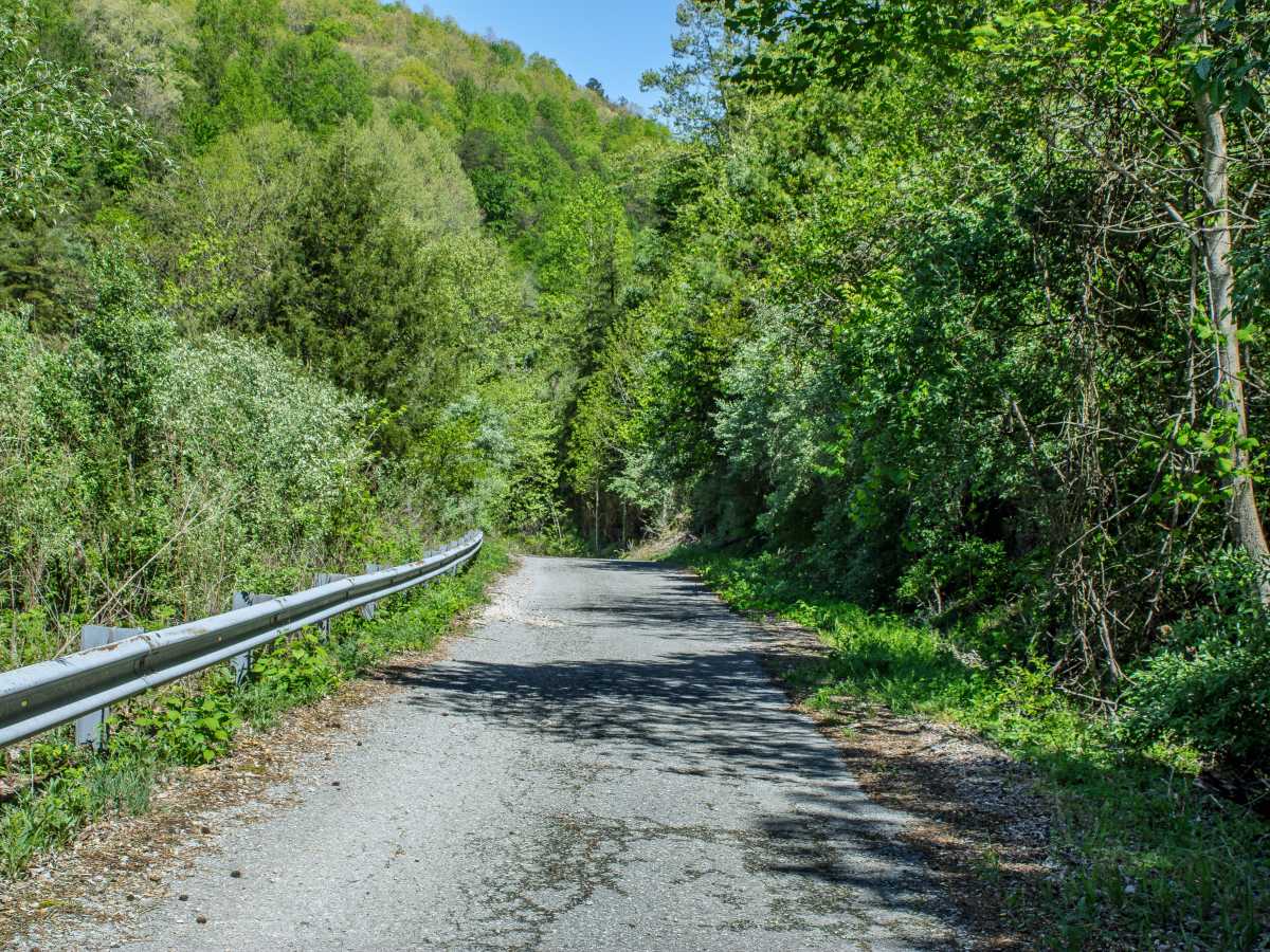
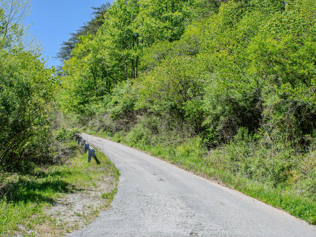
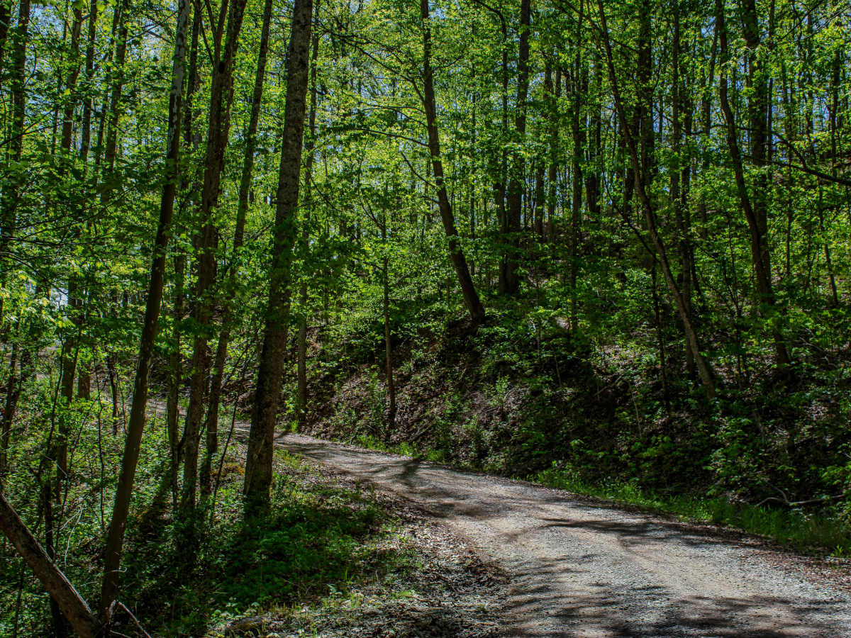
The road is wide enough for two vehicles to pass in most areas and has several places to pull over, stop, and explore. The gravel surface is generally easy to drive, with no major technical obstacles along the main route. The trail steadily climbs the mountain and offers good opportunities to look for elk and other wildlife, especially around the open areas and ponds along the way.
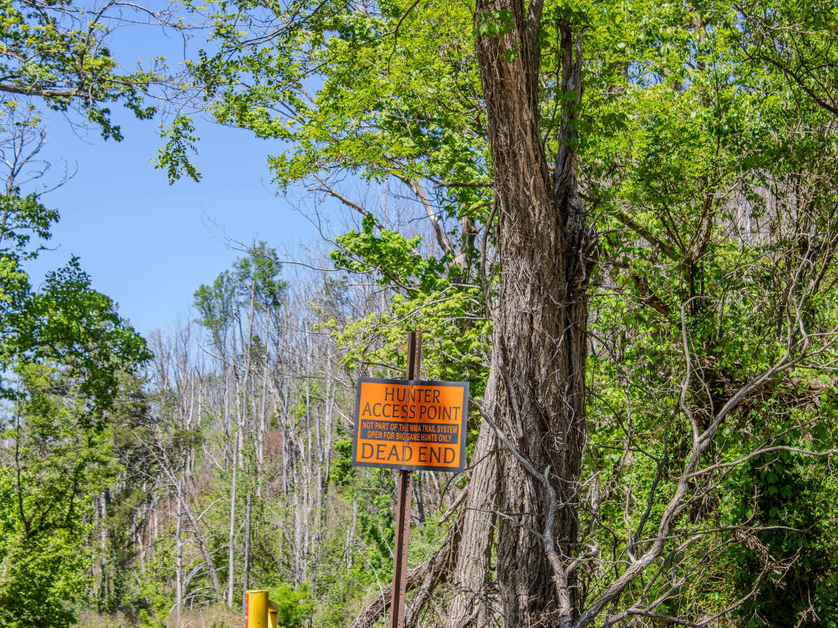
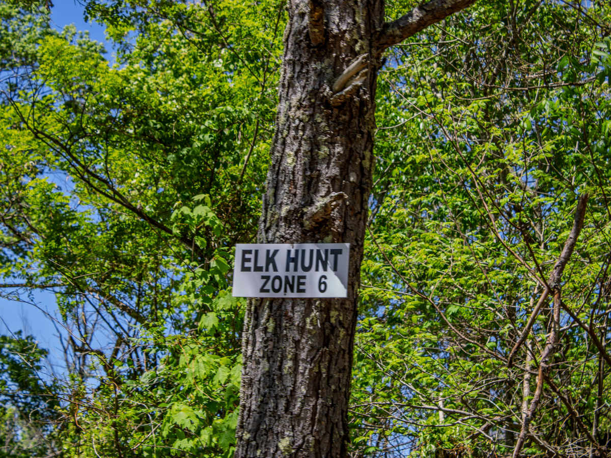
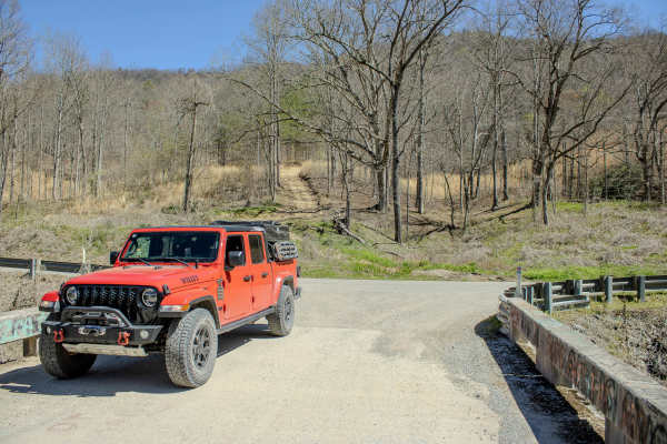
RBW 7 travels through an active hunting area, so drivers should pay close attention to signs, gates, and seasonal access rules. There is a gate along the route that may be closed during certain hunting periods or management activities. Do not drive around a closed gate. If the gate is closed, turn around and treat the route as an out-and-back trail.
The trail continues until RBW 7 ends and RBW 4 begins. Along the way, the ponds and open areas make good places to slow down, look for wildlife, and take photos. Because this area is shared by hunters, riders, and wildlife watchers, drive slowly, keep noise down when possible, and respect posted rules.
Difficulty
RBW 7 earns an easy rating because it is primarily a gravel road with a wide travel surface, plenty of passing room, and no major obstacles. The main concerns are the steady mountain climb, changing gravel conditions, wildlife near the road, and possible gate closures during hunting seasons or management periods.