Trail Overview
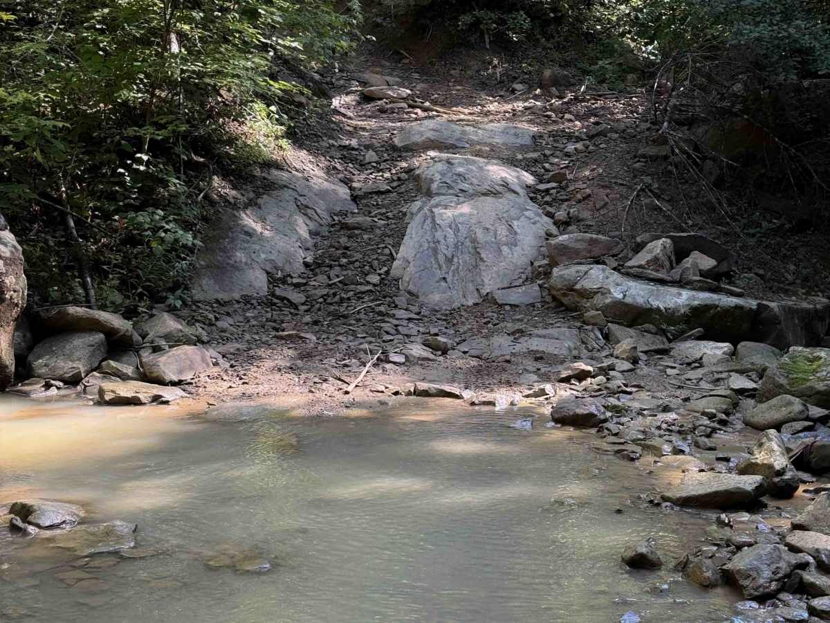
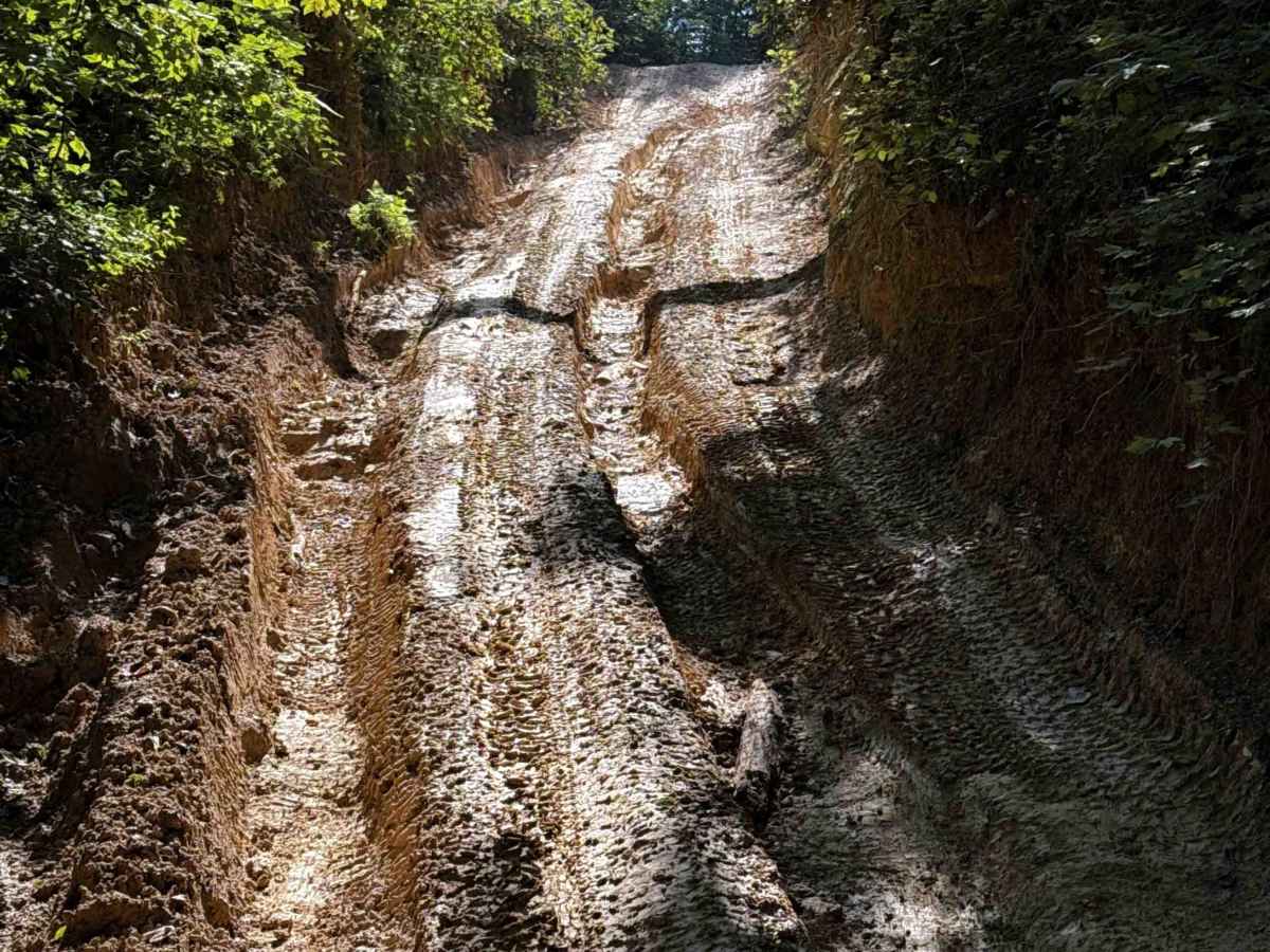
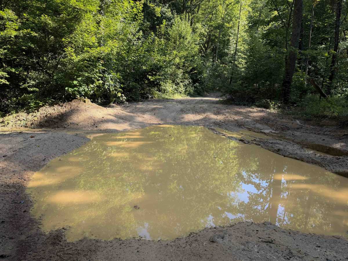
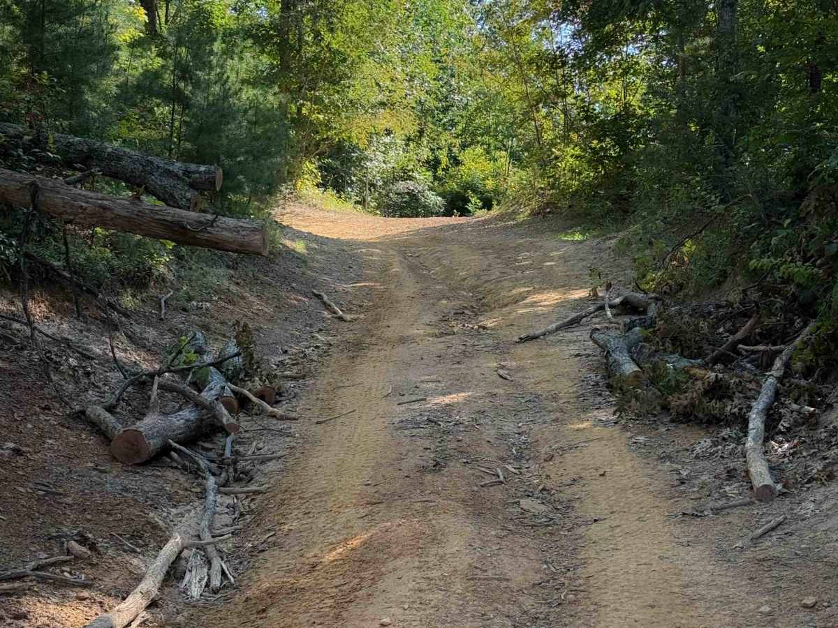
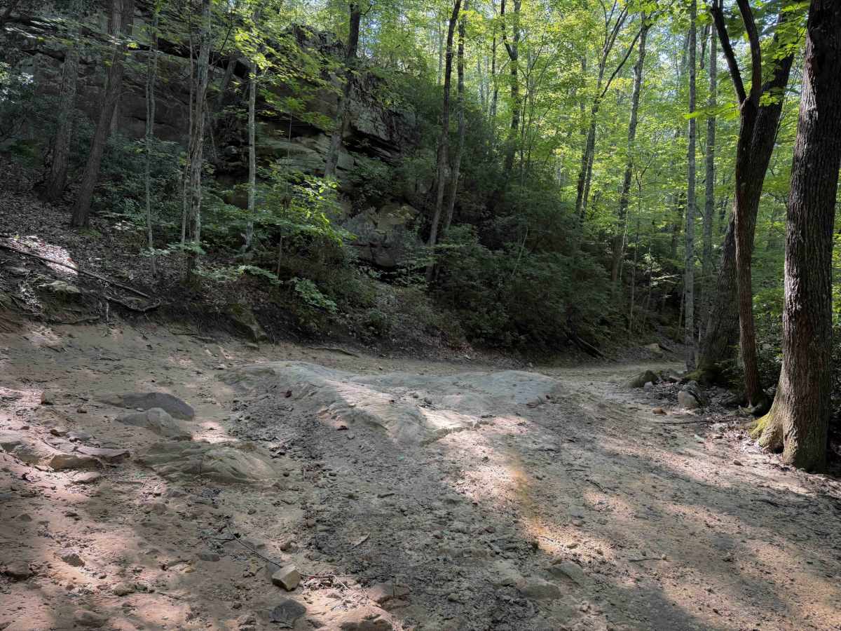
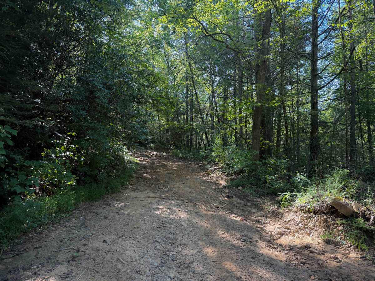
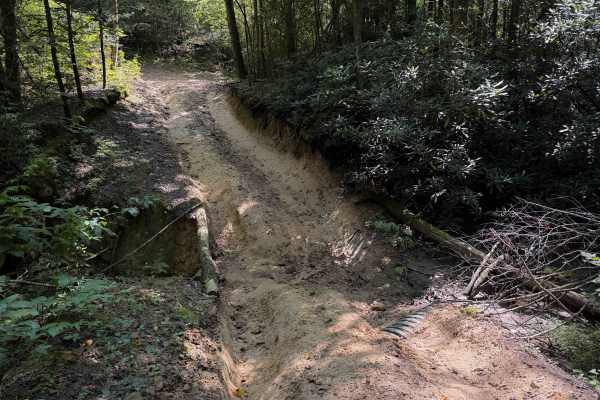
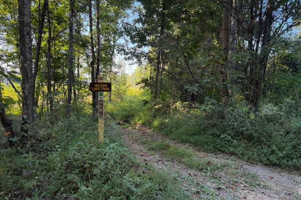
Louse Creek is an intermediate Off- Highway Vehicle trail within the Sundquist Unit of the North Cumberland Off- Highway Vehicle Riding Area, north of the town of LaFollette, Tennessee. The trail is full of greasy mud holes, deep ruts, small stream crossings, and moderate rock features. The trail surface is made of a mix of clay and dirt that can become very slippery or impassable when wet. The route passes several scenic mossy rock walls, and riders will have to ride over big embedded rock layers within the clay dirt, with deep, greasy, muddy ruts. The trail meanders up and over small rolling hills within a lush and dense forest of maples, loblolly pines, and ash trees, with constant small hill climbs and descents. The majority of the trail is gradual, with a steeper descent on the north end. There are significant ruts during the steeper sections. The trail can be wide in spots through the trees, but is also narrow in troughed sections where the trail has become dug out below the forest floor. Watch out for big mud puddles spanning the width of the trail, especially during the wet summer months. After about 5 miles, it intersects with Long Haul Hollow.
Difficulty
This is rated Moderate by the Cumberland Wildlife Management Area. The trail has frequent moderate features such as slippery mud holes, ruts and puddles, embedded small rock obstacles, and narrow sections through muddy trenches.

 Offroad