Lost Ridge Trail 14

Total Miles1.7
Technical Rating
3Easy
Best TimeSpring, Summer, Fall
Trail Type60" Trail
Accessible By
Open Trail Map

Trail Overview

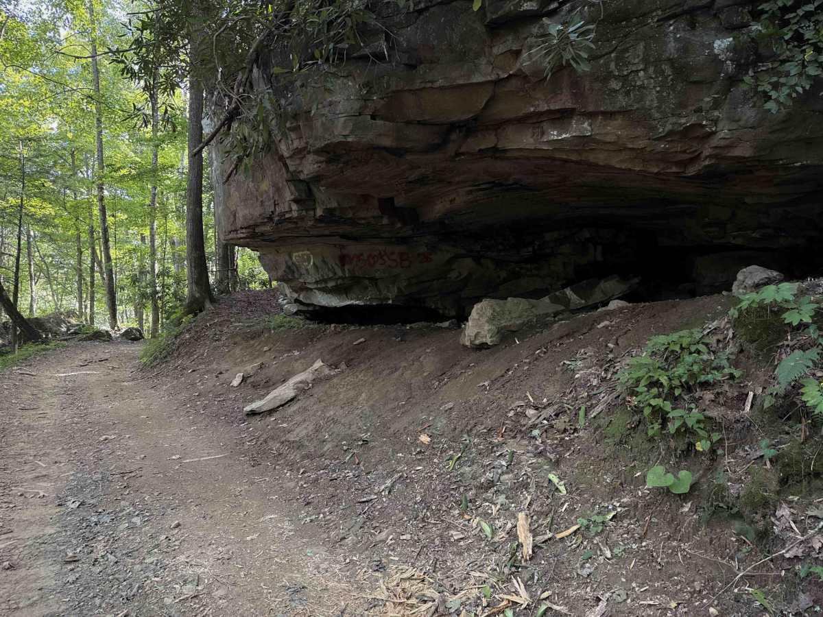
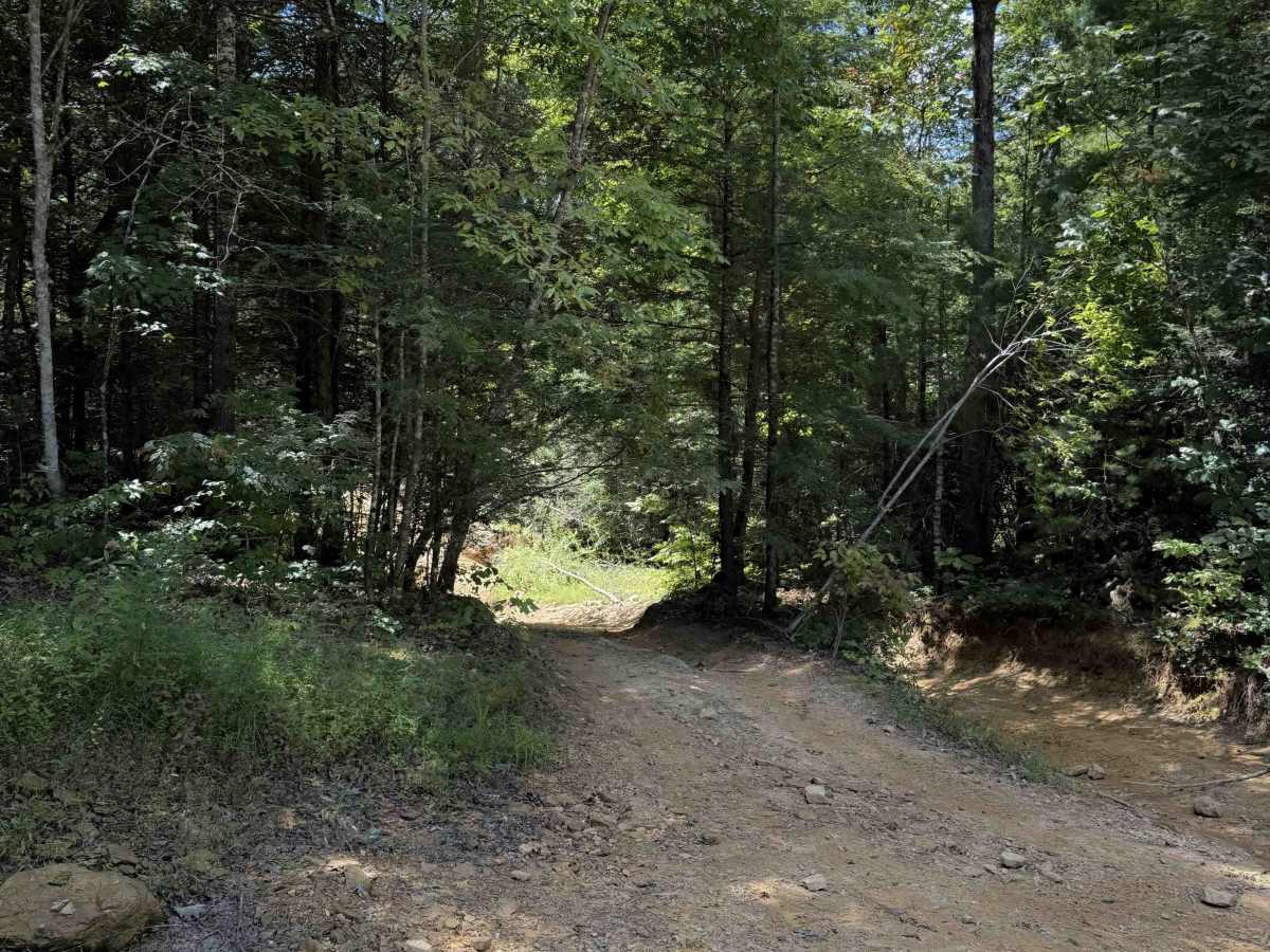
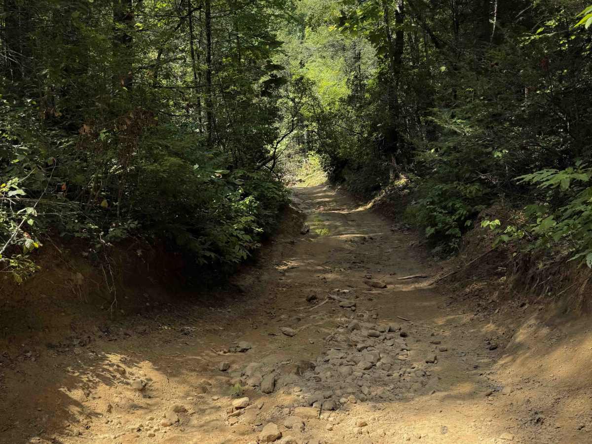
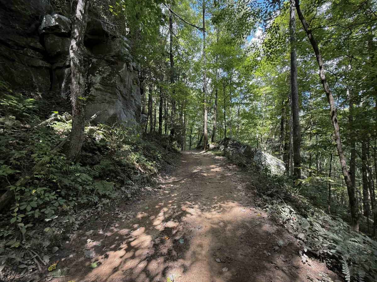
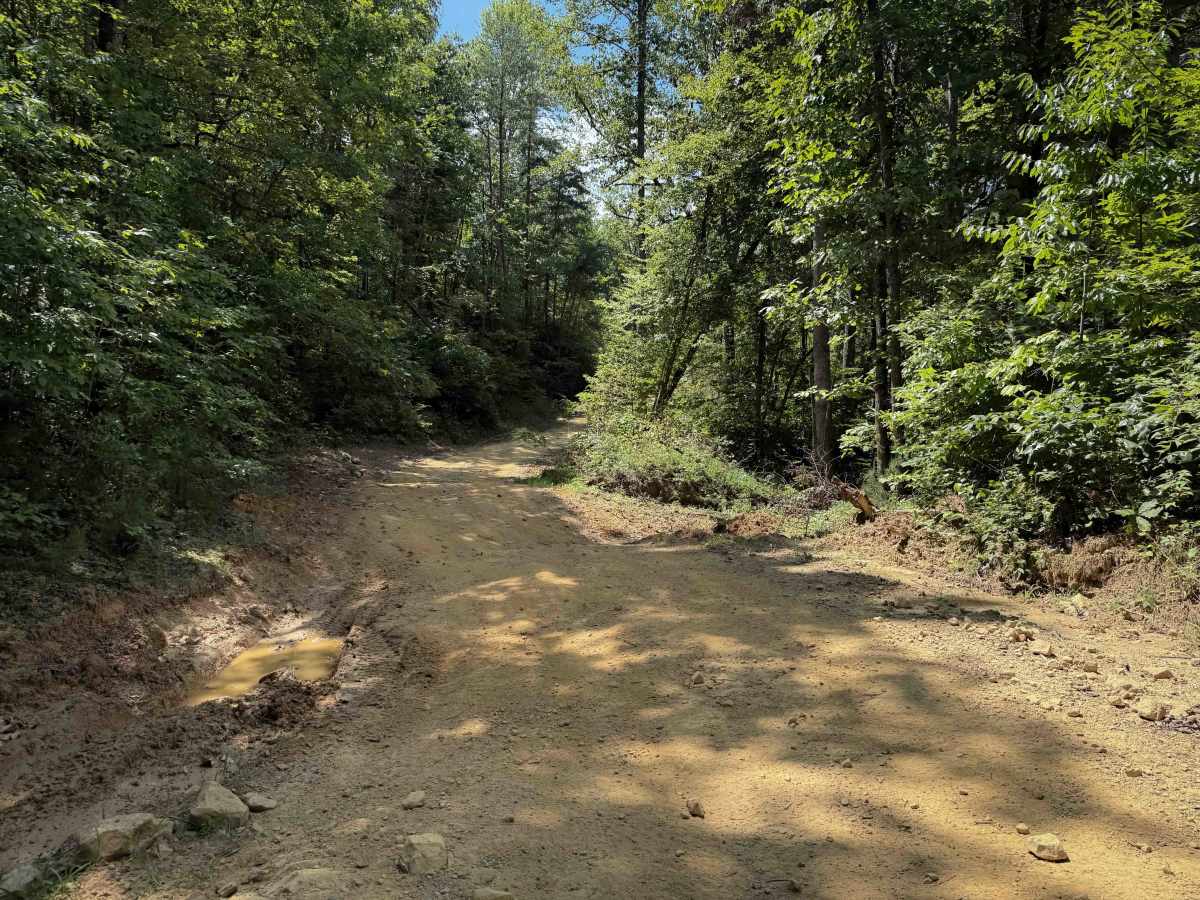
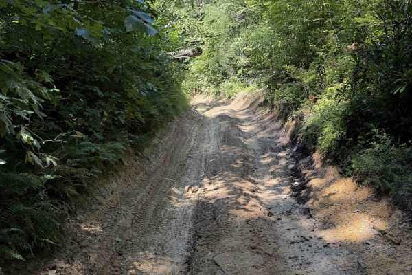
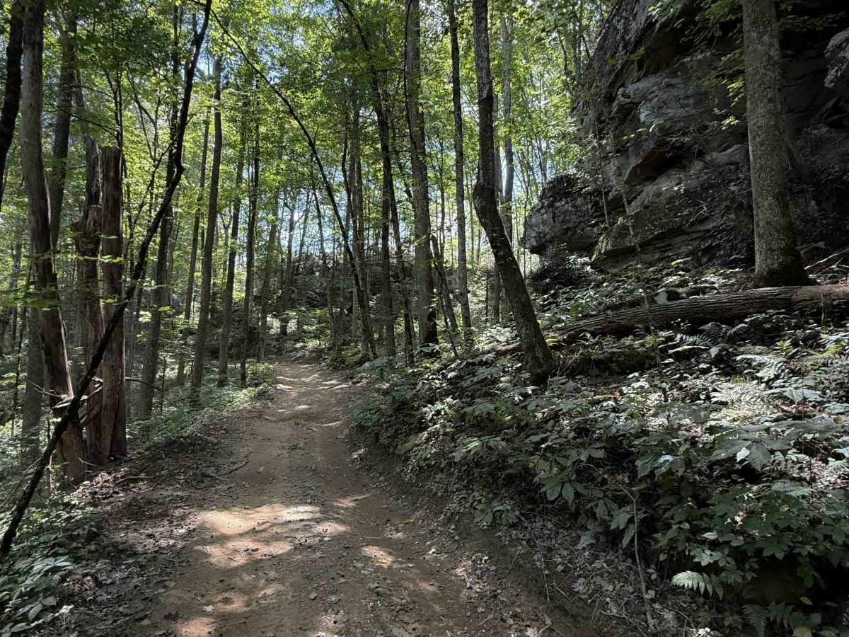
Lost Ridge Trail within the Sundquist Unit of the North Cumberland OHV Riding Area, is a 1.7 mile long easy OHV trail. It’s mostly a narrow trail on a muddy clay-dirt surface, with a mix of loose rock, and a few bigger flat rocks in the trail that are easy to ride over, but can be slick when wet. Throughout the route, there are shelf road sections that are narrow, riding past thickets of rhododendron. It also goes past a scenic mossy rock outcroppings with an overhang like a cave that is fun to see. Expect muddy ruts, humps, dips, and changing conditions during the wet months.

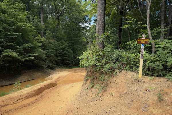
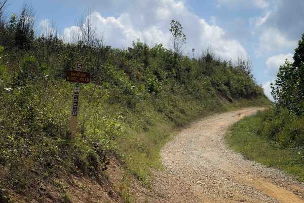
Photos of Lost Ridge Trail 14

Difficulty

This is rated Moderate by the Cumberland WMA. Overall, it is relatively easy because it is not as rutted or muddy as some of the surrounding trails. It is narrow in spots, but doesn’t have any major obstacles, and is mostly gradual. Conditions can change with moisture and erosion.

Technical Rating

3

Lost Ridge Trail 14 Trail can be accessed by the following ride types:

  • Single Track
  • 50 Inch
  • 60 Inch

Lost Ridge Trail 14 Map

The onX Offroad Difference

onX Offroad combines trail photos, descriptions, difficulty ratings, width restrictions, seasonality, and more in a user-friendly interface. Available on all devices, with offline access and full compatibility with CarPlay and Android Auto. Discover what you're missing today!

Open Trail Map