Trail Overview
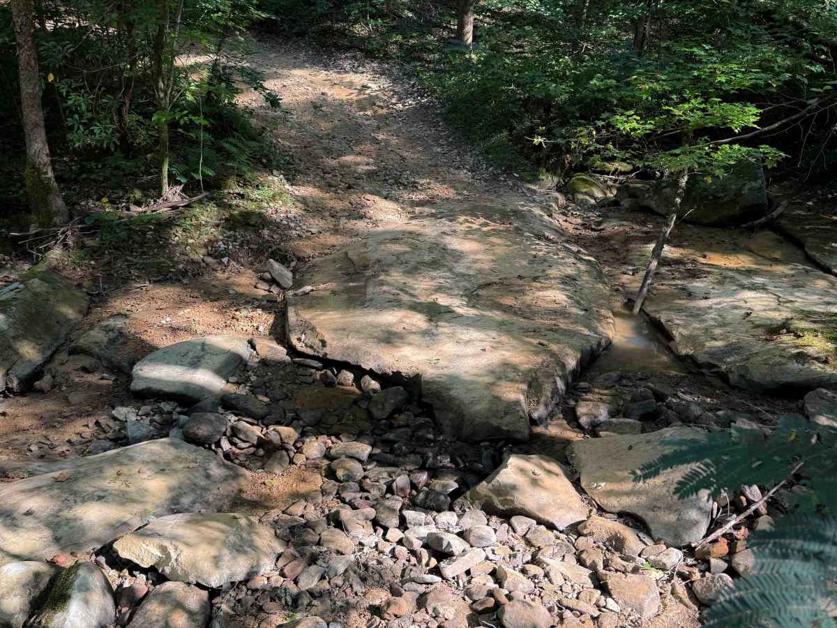
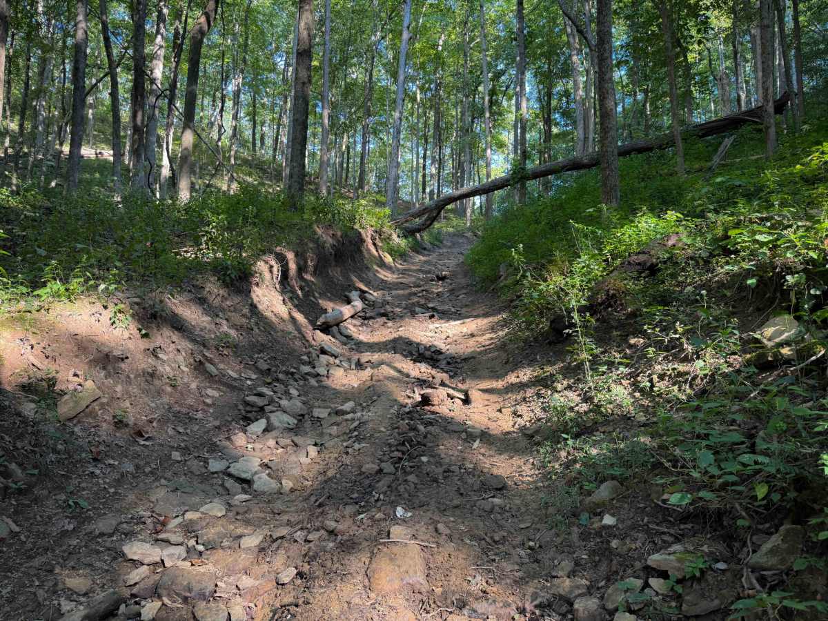
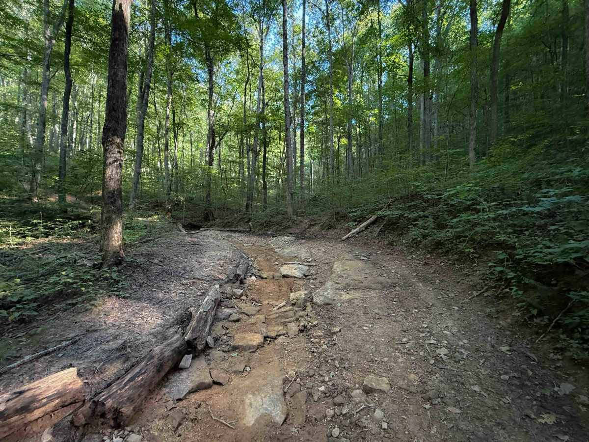
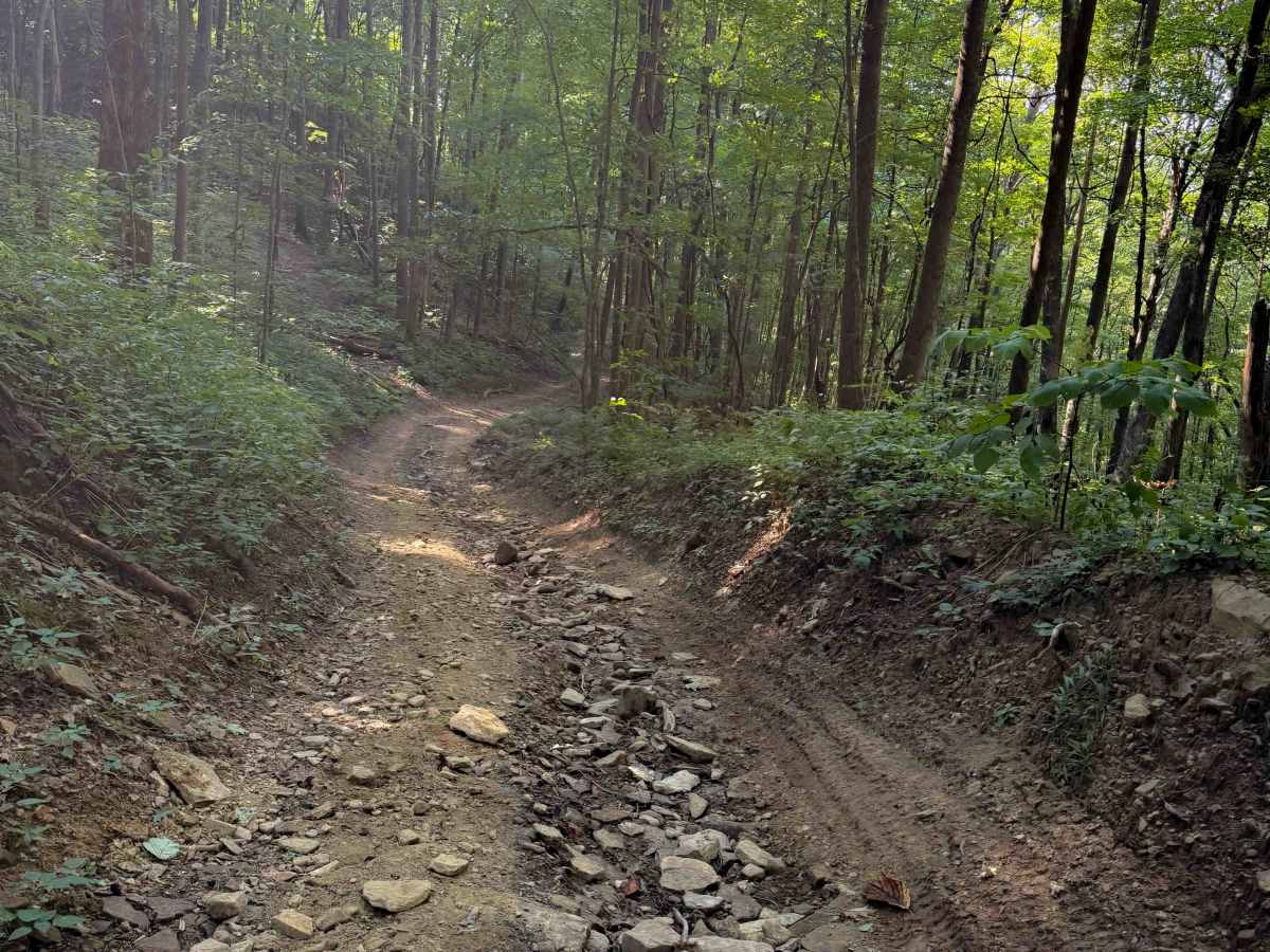
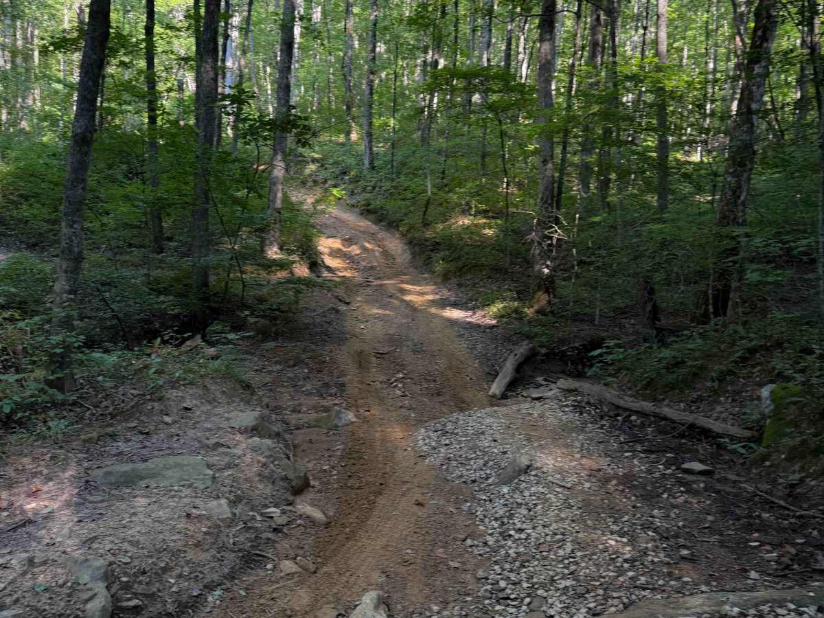
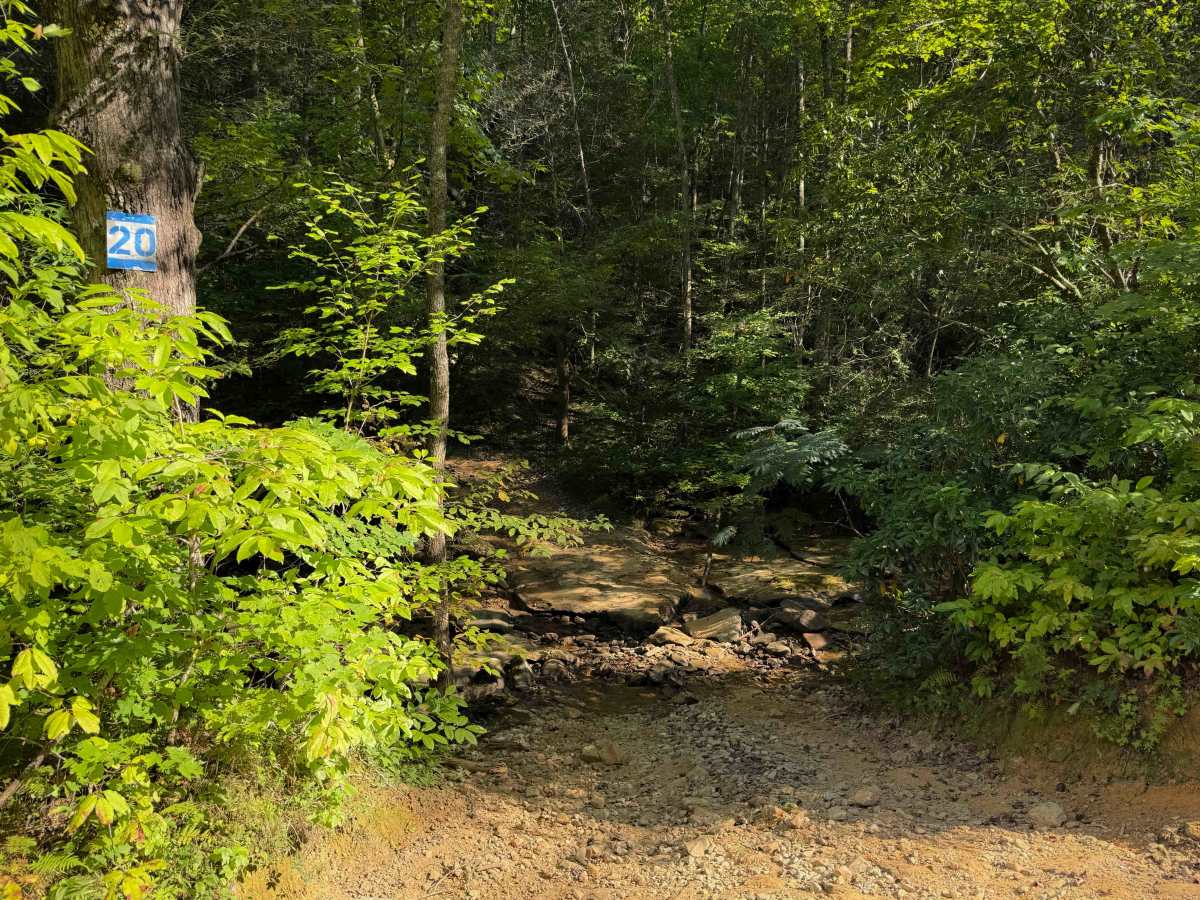
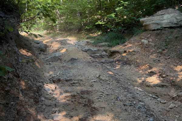
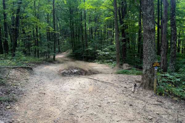
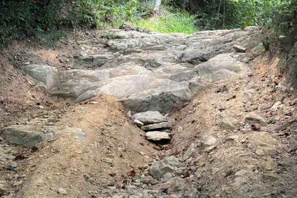
Dry Fork is a fun off-highway vehicle trail within the North Cumberland Off- Highway Vehicle Riding Area with moderate challenges. It’s a shelf trail that winds through a dense and shaded forest on a mix of dirt and clay that can become slippery when wet. There is a rocky dry creek crossing at the north entrance to the trail, and a few flat embedded rock layers later that make it more interesting, but overall there aren’t any major rock obstacles. Watch out for muddy patches that are rutted and uneven. In general, the first mile of trail is pretty gradual, so any rutted sections are not overly difficult. The south end has a steeper rocky climb (when heading southward) that is more rutted and trenched out between tall dirt banks that makes it more difficult.
Difficulty
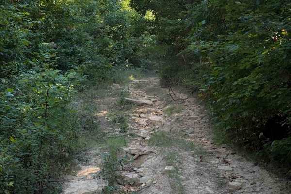
This is a moderate route, mostly due to the steep climb on the south end that has deep ruts and loose rocks. Throughout the route, there are several embedded rock sections and narrow sections, as it is cut into a shelf road along the hillside.