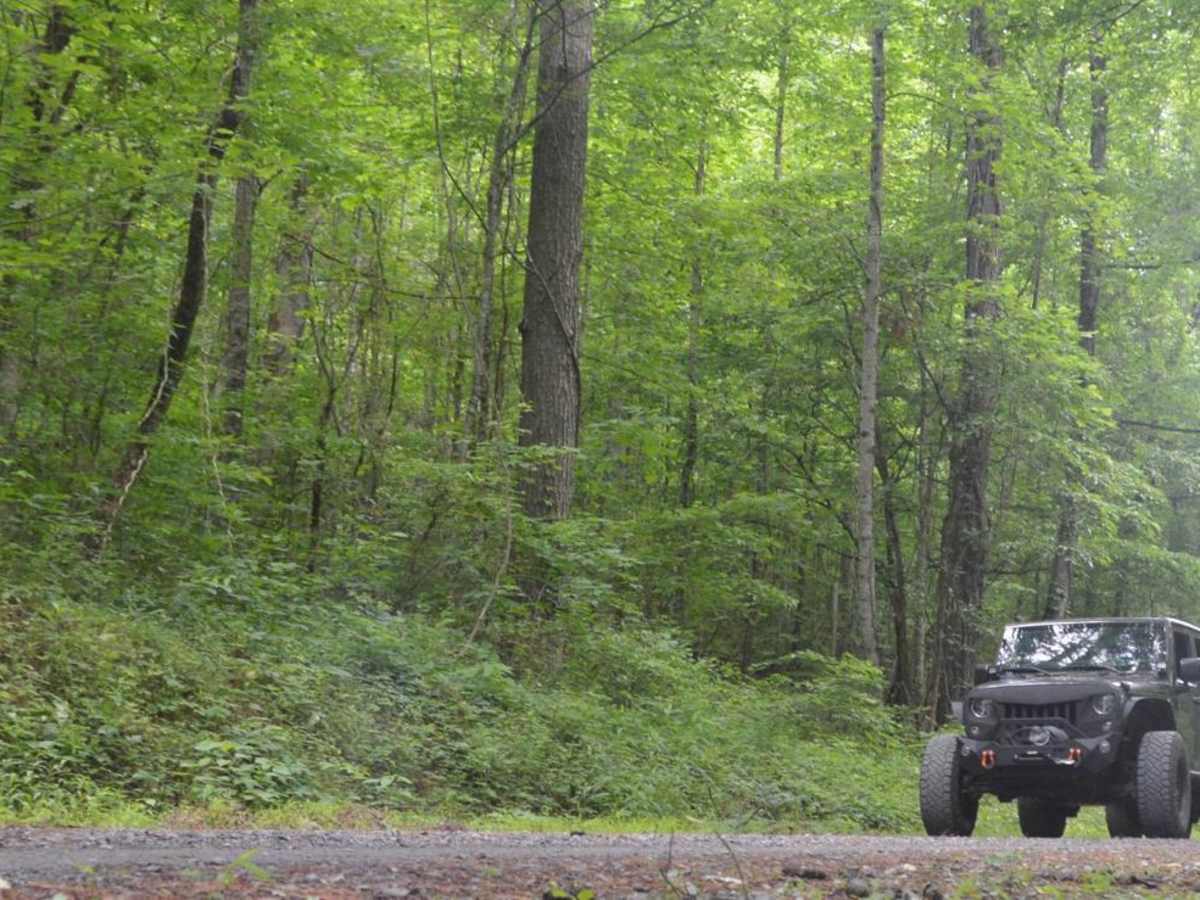
Blake Welch
Jul 11, 2026
2019 Toyota 4runner
Temporarily Closed
Posted Sign
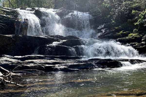
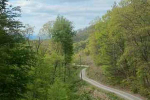
The trail is open up to the falls trailhead if coming from the north end. Easy sailing up to that point. The hike to the falls can be a doosy.
Wilson
Jul 05, 2026
Temporarily Closed
Closed Gate
NFS closed this trail due to the illegal offshoots. Sounds like they're going to do some heavy remediation work, and harden the creek crossings like they did for Sneed Creek down in Polk County. Closure is for "several months" per the notice.
Drew S
Jul 04, 2026
2019 RAM 1500
Temporarily Closed
Posted Sign
Trail closed at the turn off for the water fall looks like maintenance work.
Alison Phelps
Jun 28, 2026
Open
NormalMuddy/Wet
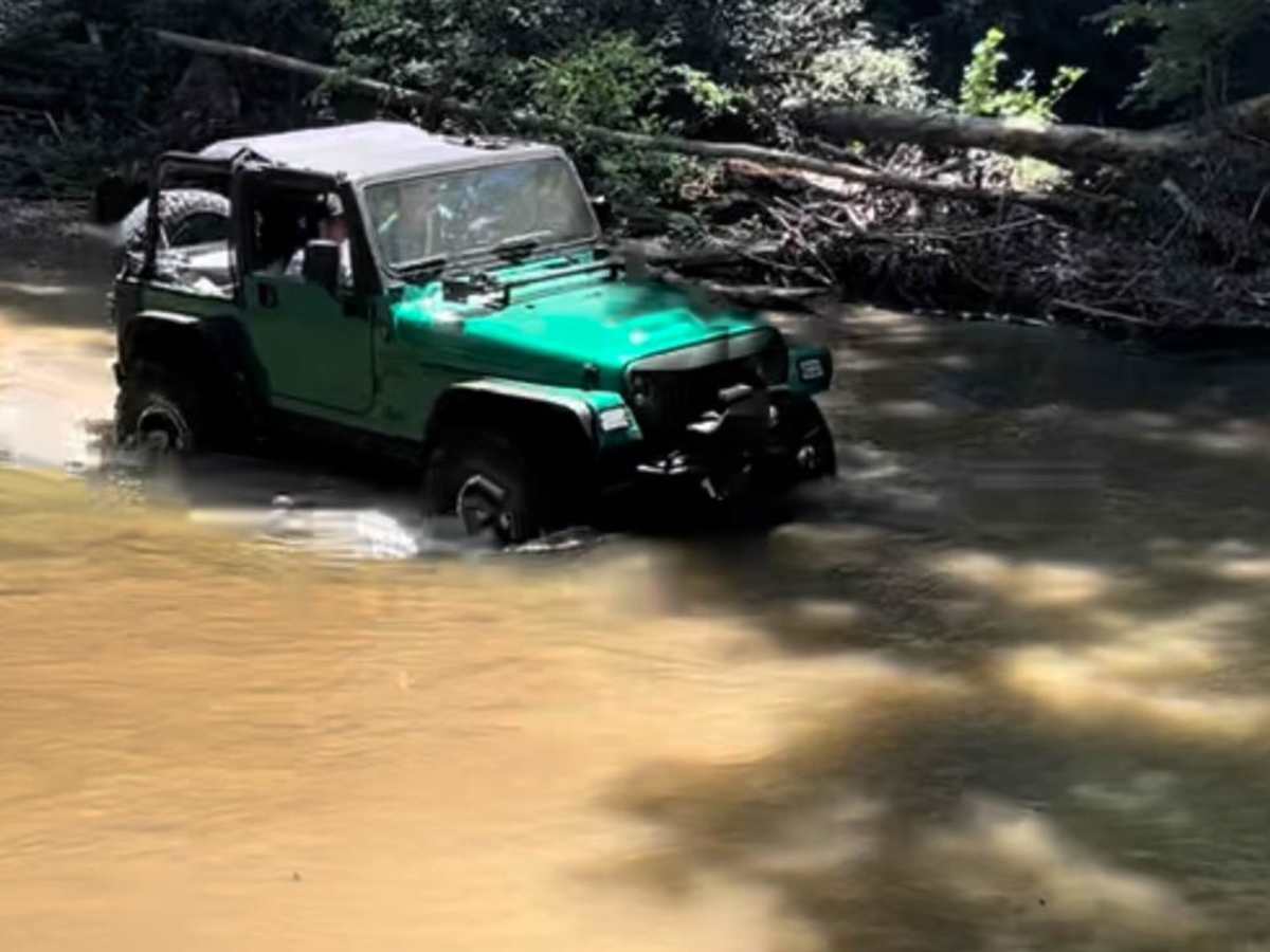
Trail was very busy on this Sunday afternoon. Traffic coming from both directions. Several vehicles had pulled into the creek and parked and people were sitting in the creek crossings which made it difficult to enjoy them. At the big creek crossing, on the south side, the existing mud hole has gotten deeper and requires 4WD, especially if heading south/uphill. Water was not as deep as we expected, especially having come through after a heavy thunderstorm.
Gautam Shirsekar
Jun 06, 2026
2019 Toyota 4Runner
Open
NormalDusty
Water levels for creek crossings was low. That's why I could do it in my stock 4Runner ORP. Couple spots also needed diff locked. Conasauga fall is awesome (photo)
Taylor Mcguire
Jun 05, 2026
Open
Normal
Stock 05 chevy silverado made no problem..4×4 used 1 time..
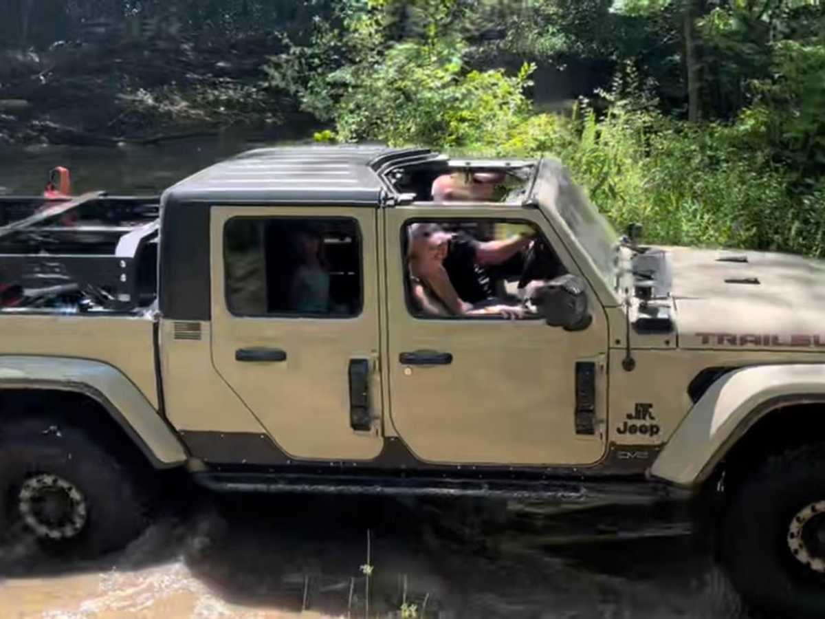
Angelleana Shoemake
May 25, 2026
Open
Muddy/Wet
A few water crossing but they were low enough to get a leveled Willy’s gladiator thru with no trouble.
Nick Niu
May 24, 2026
Open
Normal
Arron Tschida
May 03, 2026
Open
NormalMuddy/Wet
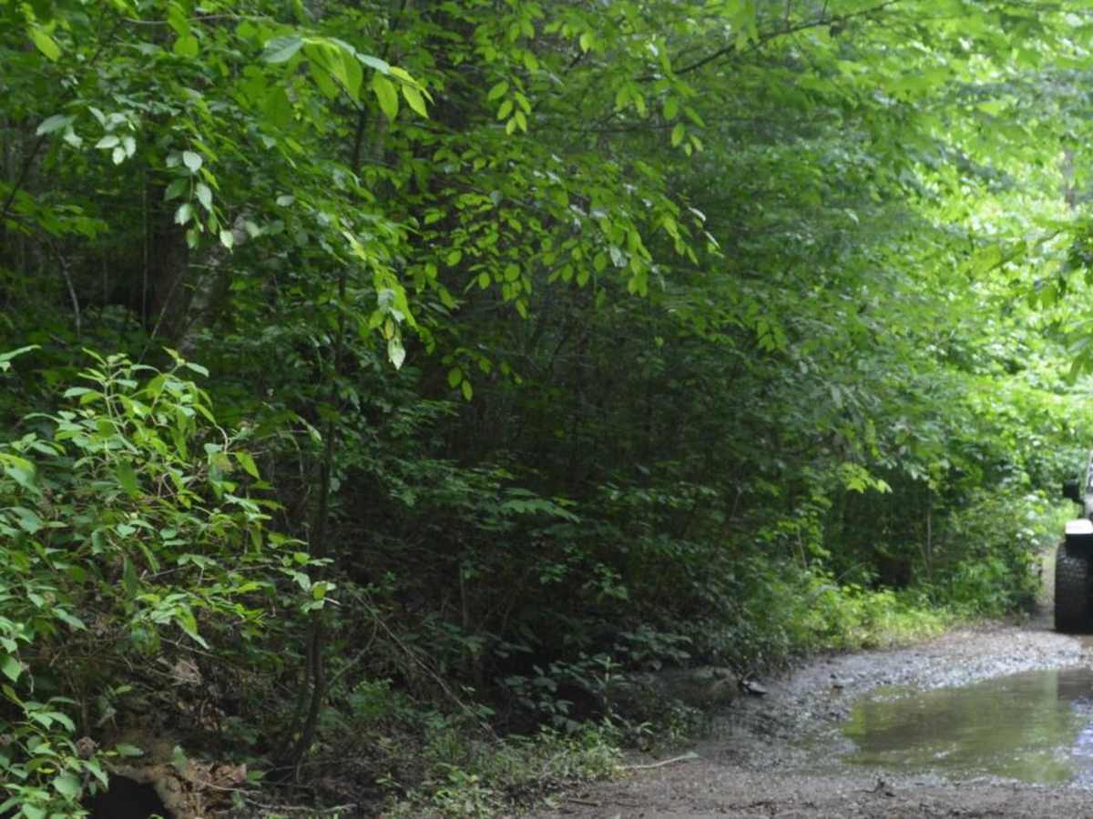
Pretty clear. No logs or erosion to cause any detours. Mud and ruts on occasion. Water crossings are easily navigated with water level no deeper than 2 ft at the highest. Road is in great shape and. An can be traversed with 2WD with proper clearance. Would not recommend 2WD after rains.
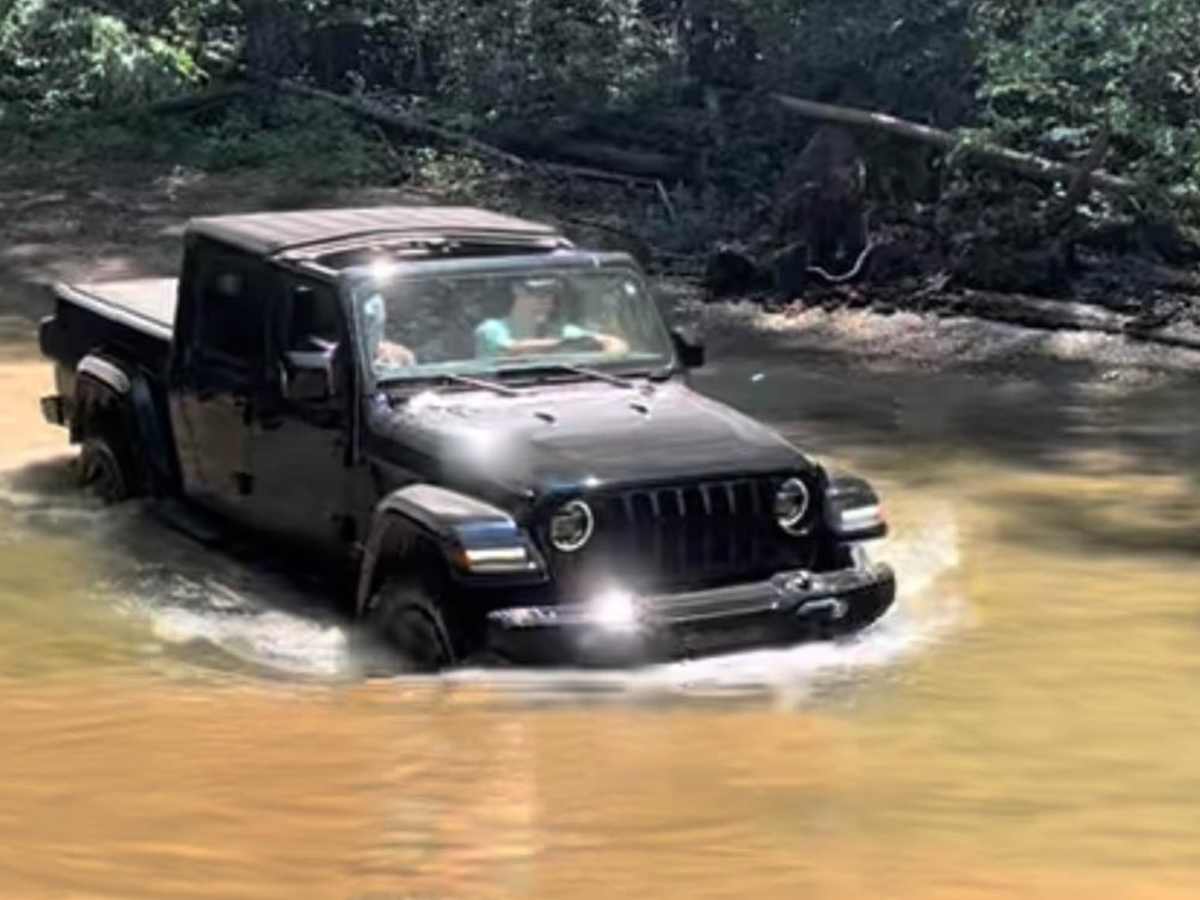
Jacob Brown
Apr 19, 2026
2021 Toyota 4Runner
Open
Muddy/WetRough/Deteriorated
Decided to go from the South end to the North end after a night of rain and it was really fun. Lots of small ruts and muddy strips to splash though. The creek crossings were never really bad. The second crossing from the south was by far the hardest because the water there was the deepest and the bank on the north was very rutted and steeper than it used to be. There appears to be a second exit at the crossing to the right. Don’t take it unless you have high ground clearance because it is much harder than the main one. Overall a wonderful trail with plenty of opportunities to get out, cool off, and enjoy some nice (non overlook) scenery.
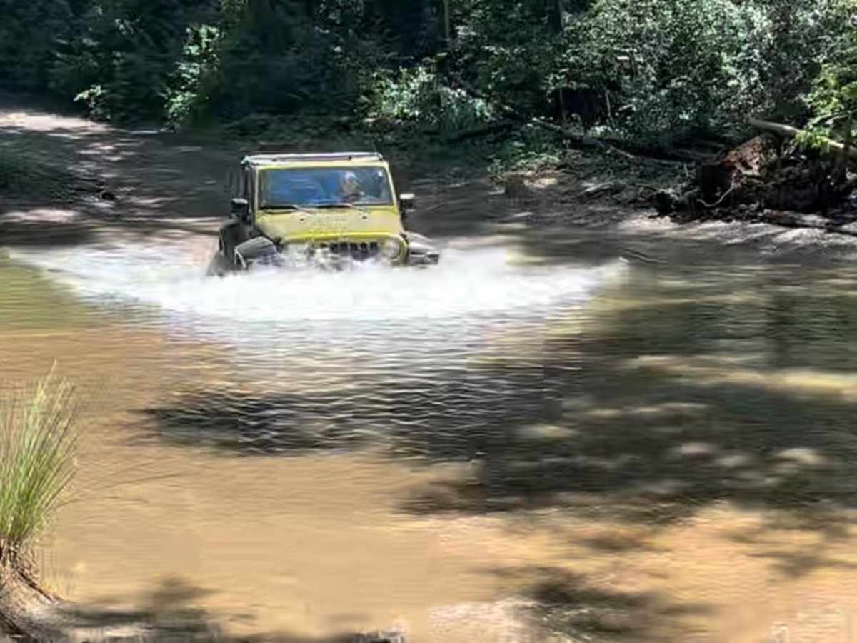
Aj Batista
Apr 12, 2026
Open
Normal
Trail was super easy coming in from the north side. Once you pass the falls trail head it turns into a actual high clearance road. We had three spots that you actually had to pay attention. From north to south, first spot is a rutted out hill climb right after the first big creek crossing, second spot is right before the second creek crossing, deep ruts going into the creek we bellied out a little in our Gladiator. Third was the last crossing, theres some shelvs in the water that may catch some axles if not paying attention. Also if you walk to the falls take water. The trip down is easy but the hike back up will wear you out!
Joe and Brandy Lawless
Apr 11, 2026
2025 Jeep Rubicon
Open
Normal
Aaron Rickel
Apr 02, 2026
2019 RAM 2500
Open
Normal
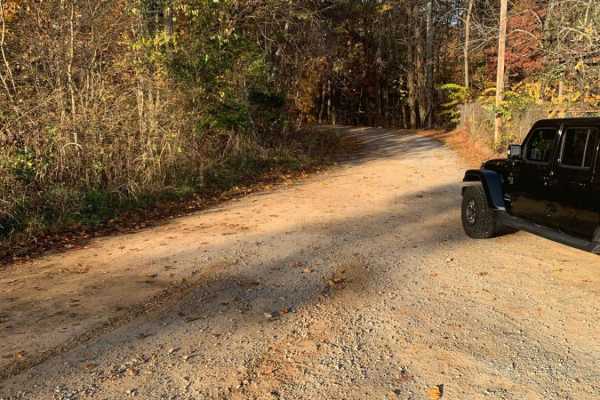
This trail is NOT a level 4, more like a level 1 with two area would rate a level 2 maybe 3. In the picture I show the only 2 spots on the entire trail that is rated more than a 1. I never took my truck out of 2wd or aired down. This is a gravel road with some rough spots. The last 1/8 of the tails, northern end is actually paved. This time of year was actually very beautiful drive and the creek bed is a GREAT place to stop for lunch and get wet. If you come her for some offroading you, like me, you will be very disappointed. Come here for the beautiful creek crossing and scenery.
Sean Halstead
Feb 02, 2026
2022 Jeep Gladiator
Open
Trail had 9-12” of snow in places. Some icey spots where the sun was melting snow and it would freeze over night. Water crossings were ice but easy to break though
Justin Gee
Feb 01, 2026
2023 Toyota 4Runner
Open
Snow/Ice
Trail was a little slick in some spots due to snow and Ice. Otherwise easy to navigate. Even with the weather, I'm not sure I would rate this trail a 4/10.