Whetstone Road - FS 721

Total Miles2.2
Technical Rating
1Easy
Best TimeSpring, Summer, Fall, Winter
Trail TypeFull-Width Road
Accessible By
Open Trail Map

Trail Overview

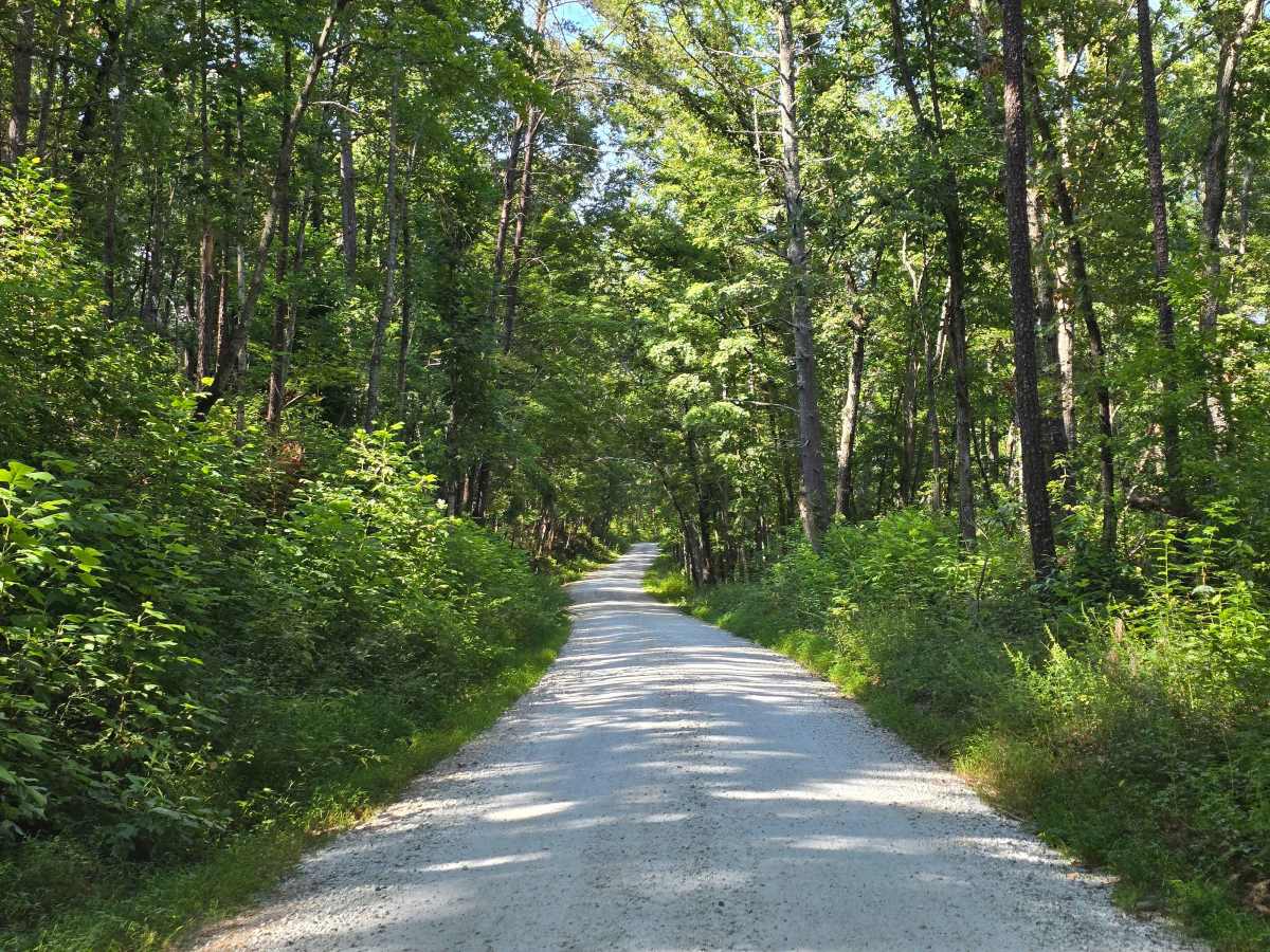
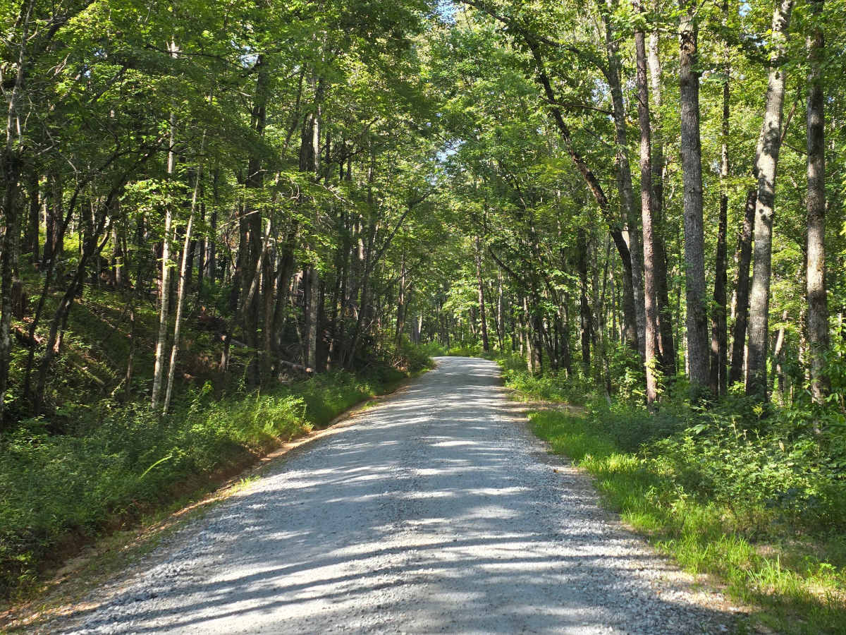
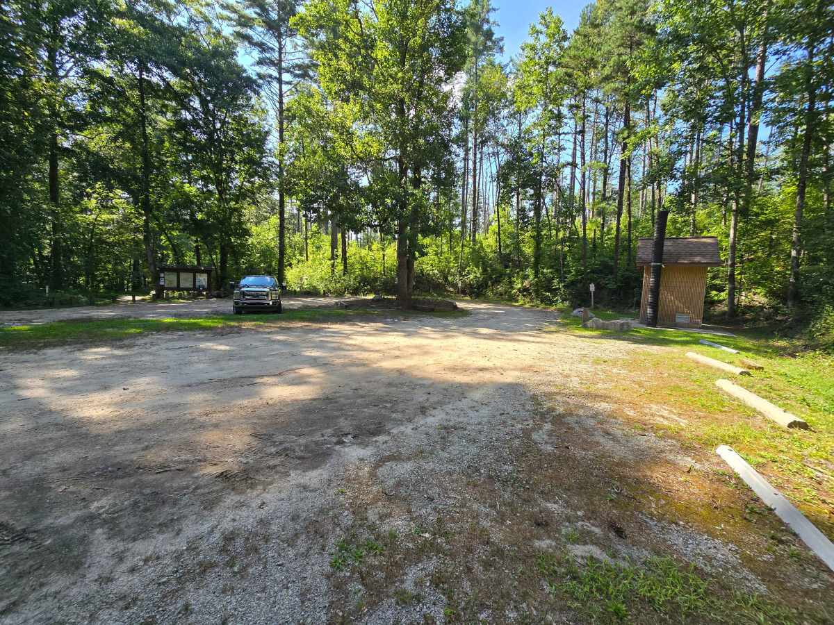
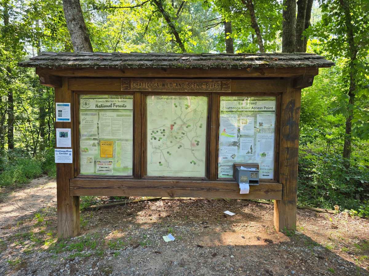
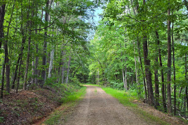
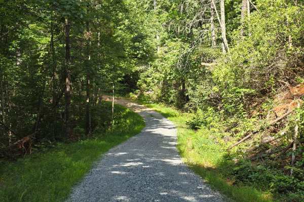
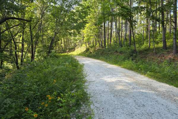
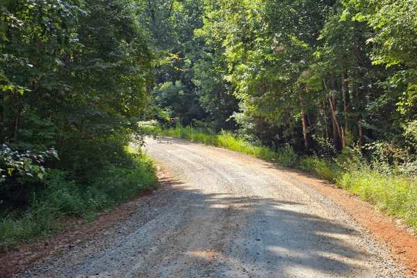
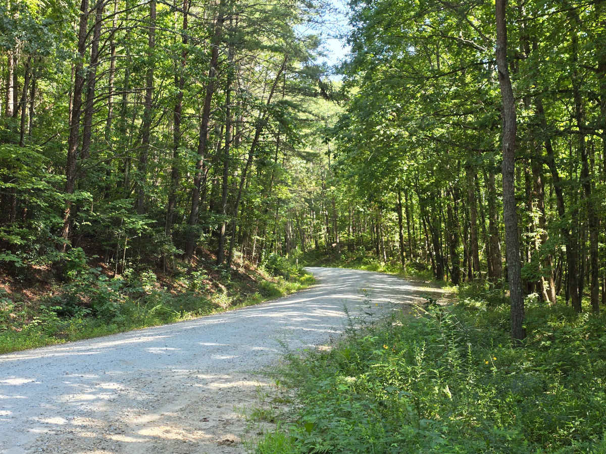
Whetstone Road - FS 721 runs north through Sumter National Forest as a wide, well-graded gravel road. This 1/10 trail stays smooth and easy the whole way, with enough width to pass oncoming traffic easily. Whetstone Horse Camp sits along the route, and a handful of offshoots (719, 719A, and 721A) branch off toward river access banks on the Chattooga. The north end brings you to Earl's Ford, where there's a large gravel lot, a vault toilet, and a Forest Service kiosk with the float permit box; from there the Earl's Ford trail runs 0.2 miles down to the water, hiker-only. Earl's Ford is the put-in for Section III of the Chattooga and the take-out for Section II, so check flows before you plan around the water. Camping restrictions inside the Wild and Scenic River corridor are posted at the kiosk, along with bear activity notices.

Photos of Whetstone Road - FS 721

Difficulty

A two-lane gravel route.

Technical Rating

1

Whetstone Road - FS 721 Trail can be accessed by the following ride types:

  • High Clearance
  • Full Width

Whetstone Road - FS 721 Map

The onX Offroad Difference

onX Offroad combines trail photos, descriptions, difficulty ratings, width restrictions, seasonality, and more in a user-friendly interface. Available on all devices, with offline access and full compatibility with CarPlay and Android Auto. Discover what you're missing today!

Open Trail Map