Trail Overview
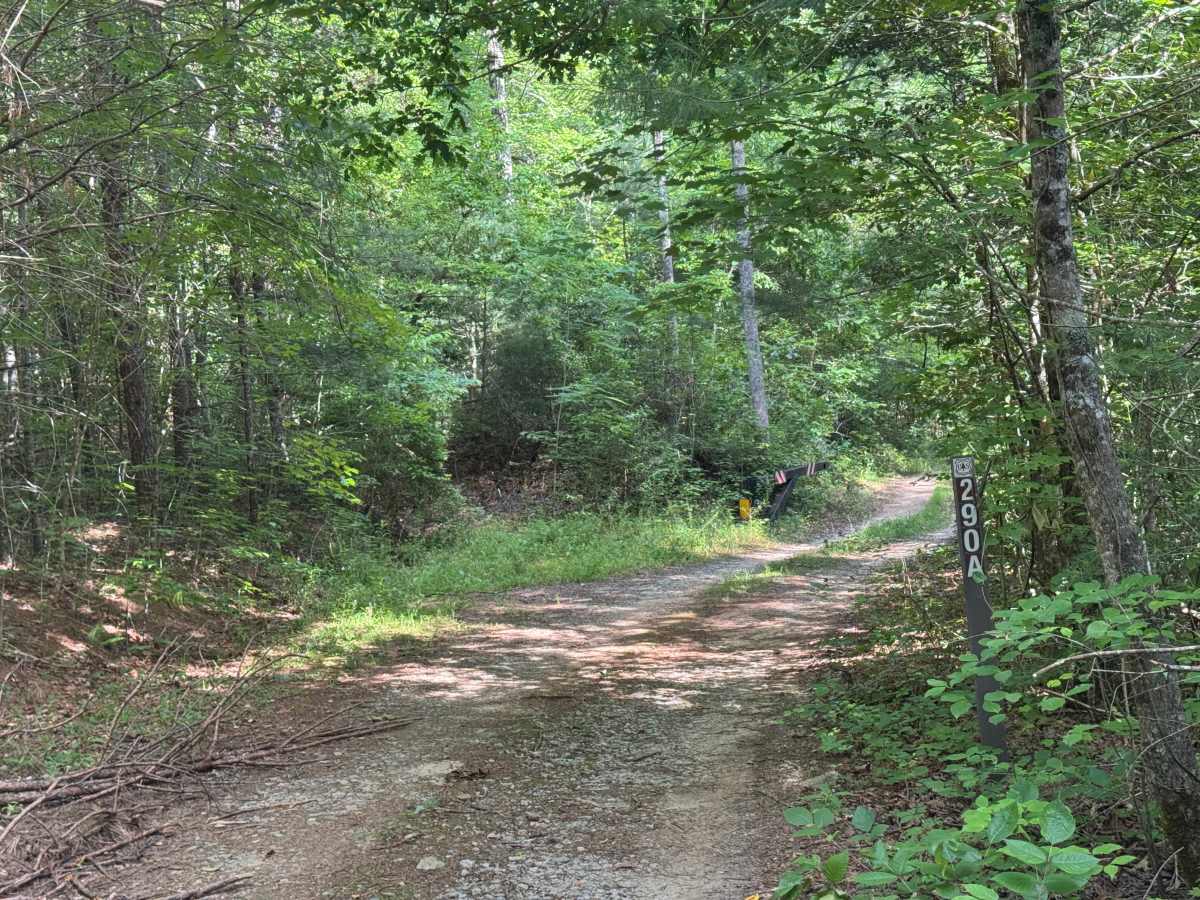
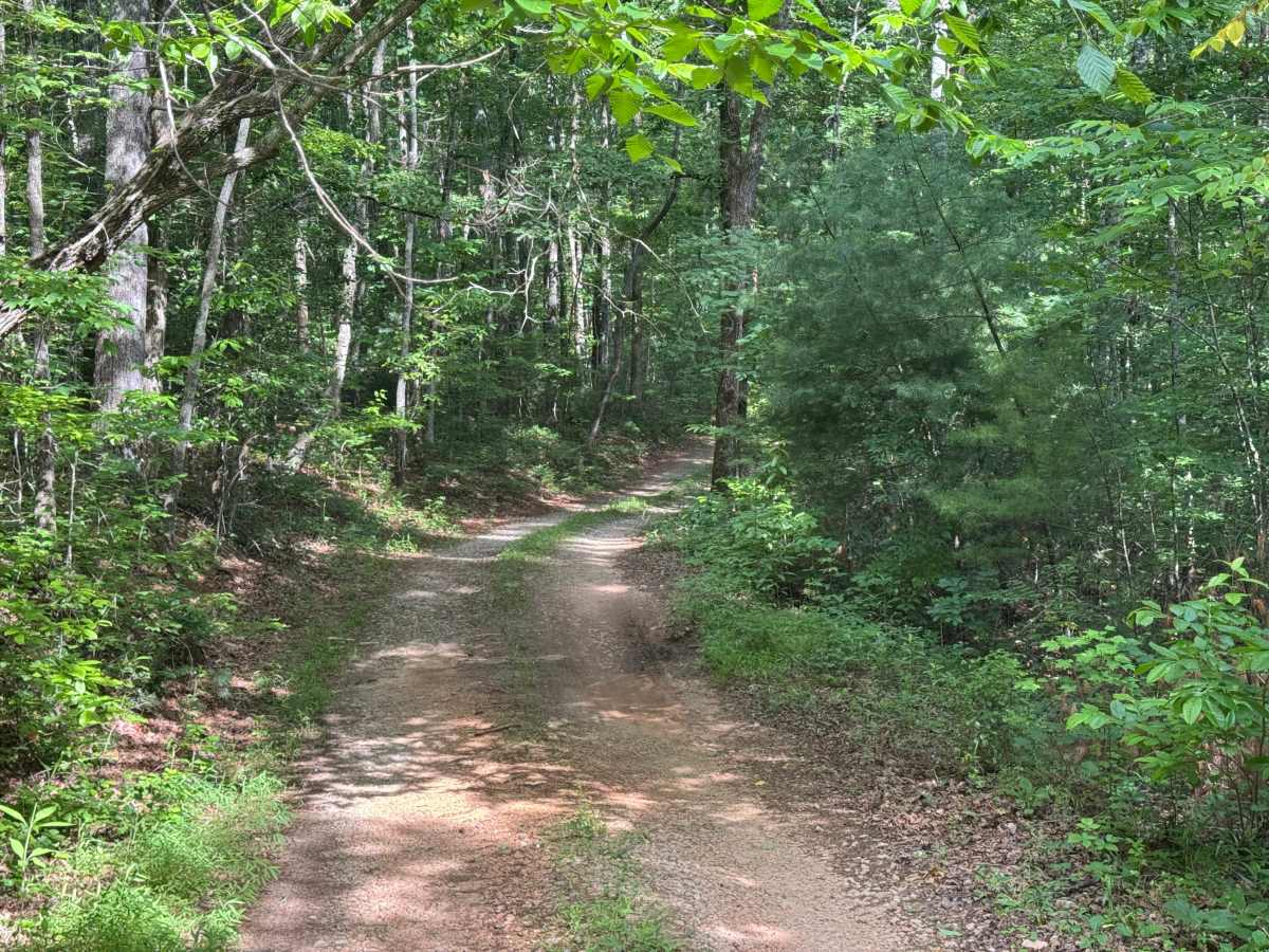
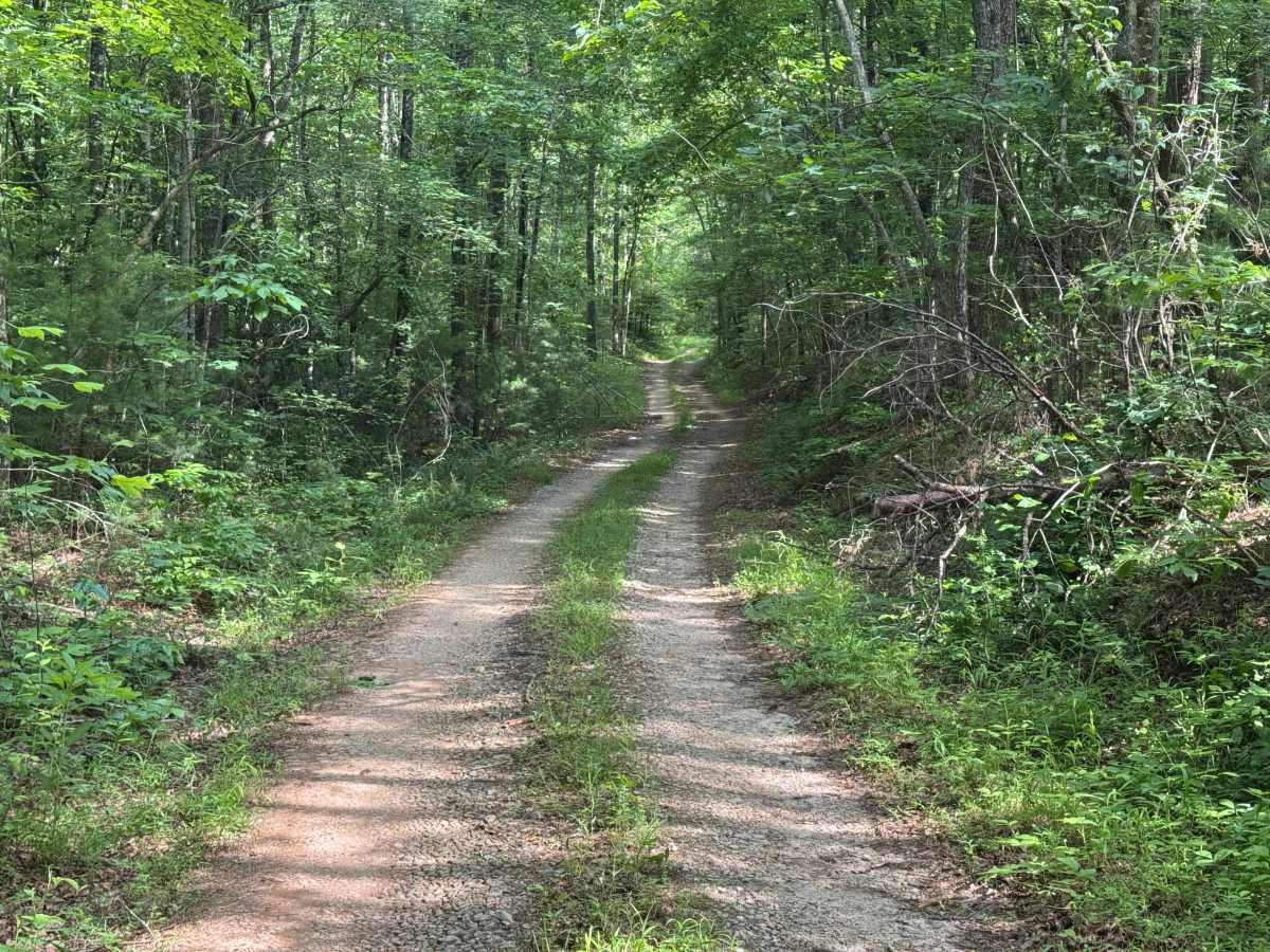
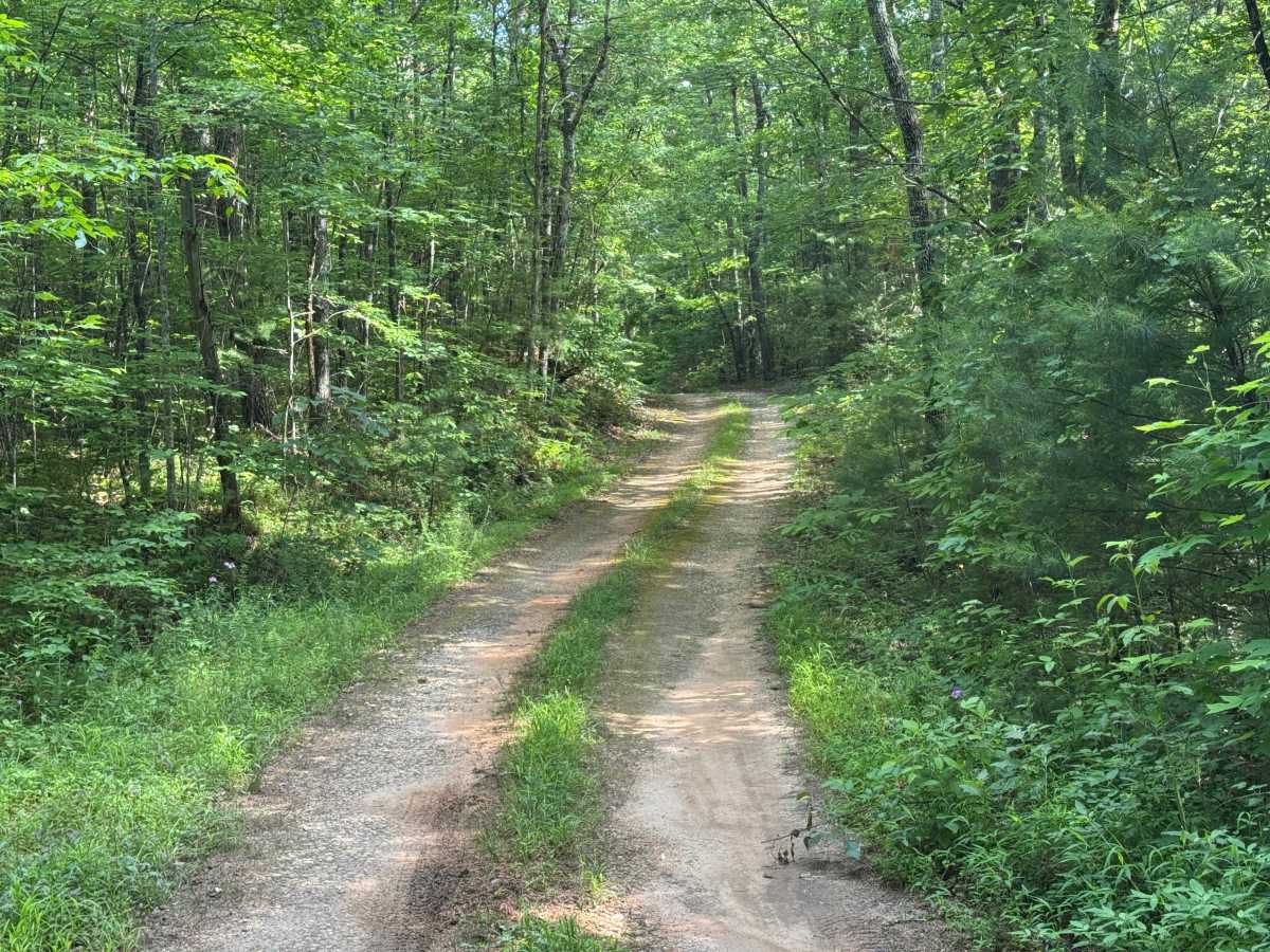
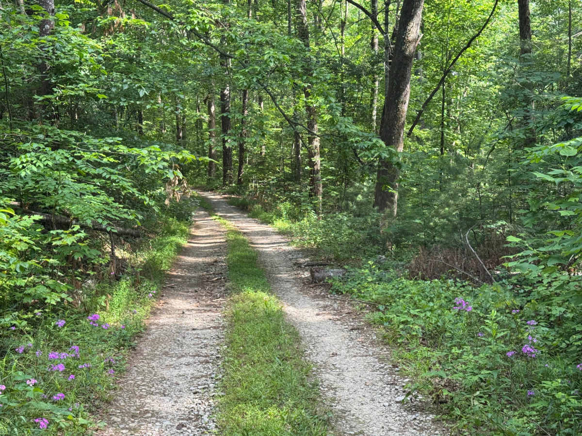
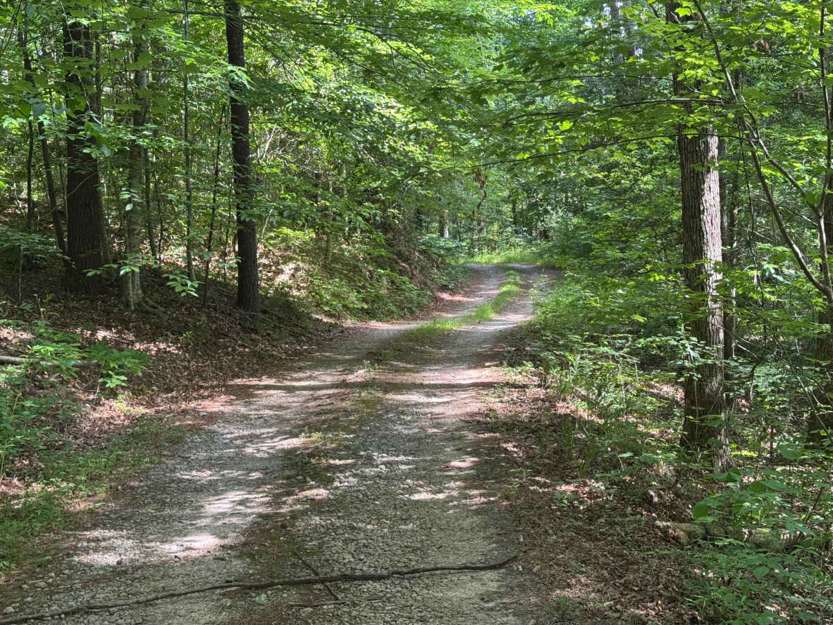
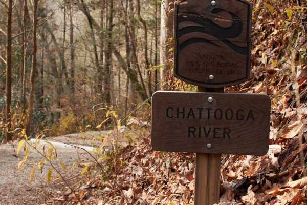
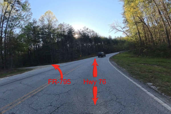
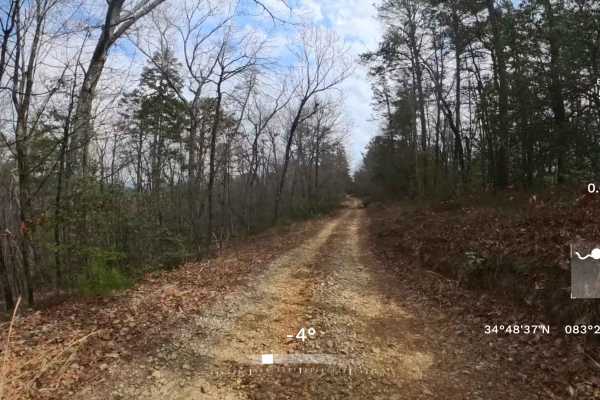
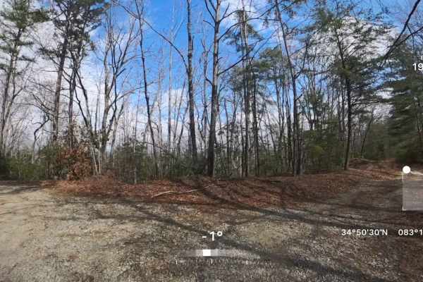
Sutton Hole - FS 290A is a 0.8-mile out-and-back route that follows a single-lane forest road with few places to pass. The packed dirt and gravel surface is lightly maintained as it travels through heavily forested terrain, making for an easy drive under normal conditions. A smooth surface with few obstacles allows the route to be comfortably traveled by low-clearance vehicles while retaining the quiet character of a lightly traveled forest road. Although short in length, it serves an important purpose by providing access to a staging area used by kayakers reaching the Chattooga. The road terminates at this staging area before returning along the same alignment. Access is restricted to highway-legal vehicles only, making Sutton Hole - FS 290A a straightforward forest access route with minimal technical challenges and a practical recreational destination.