South Carolina Adventure Route Segment 3

Total Miles 212.2
Technical Rating
2 Easy
Best Time Spring, Summer, Fall, Winter
Trail Type Full-Width Road
Accessible By
Open Trail Map

Trail Overview

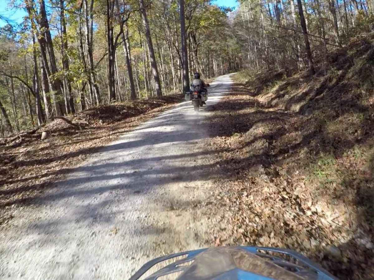
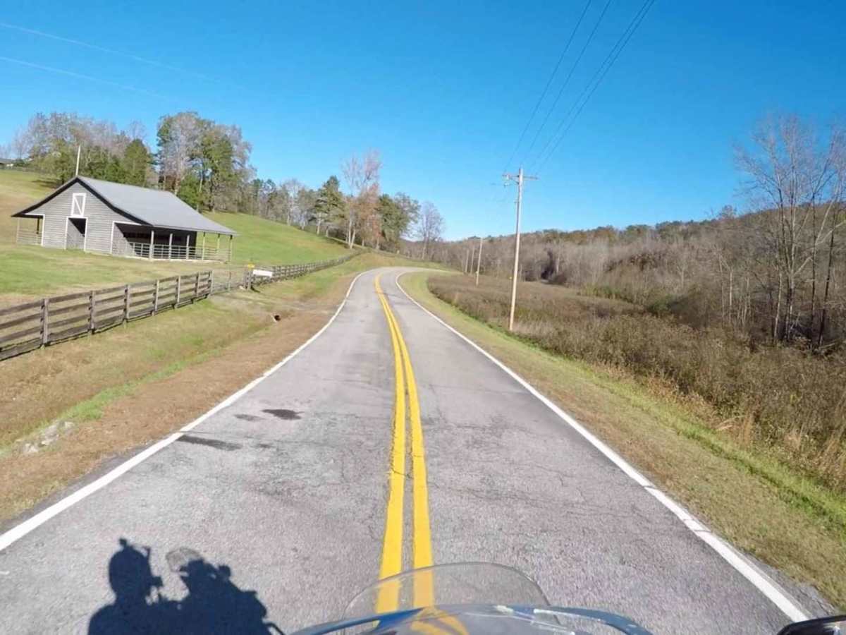
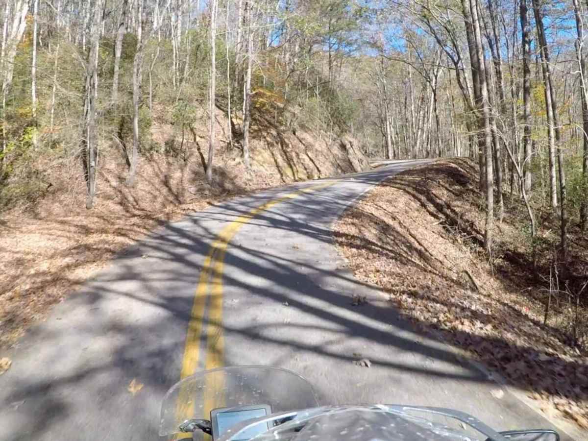
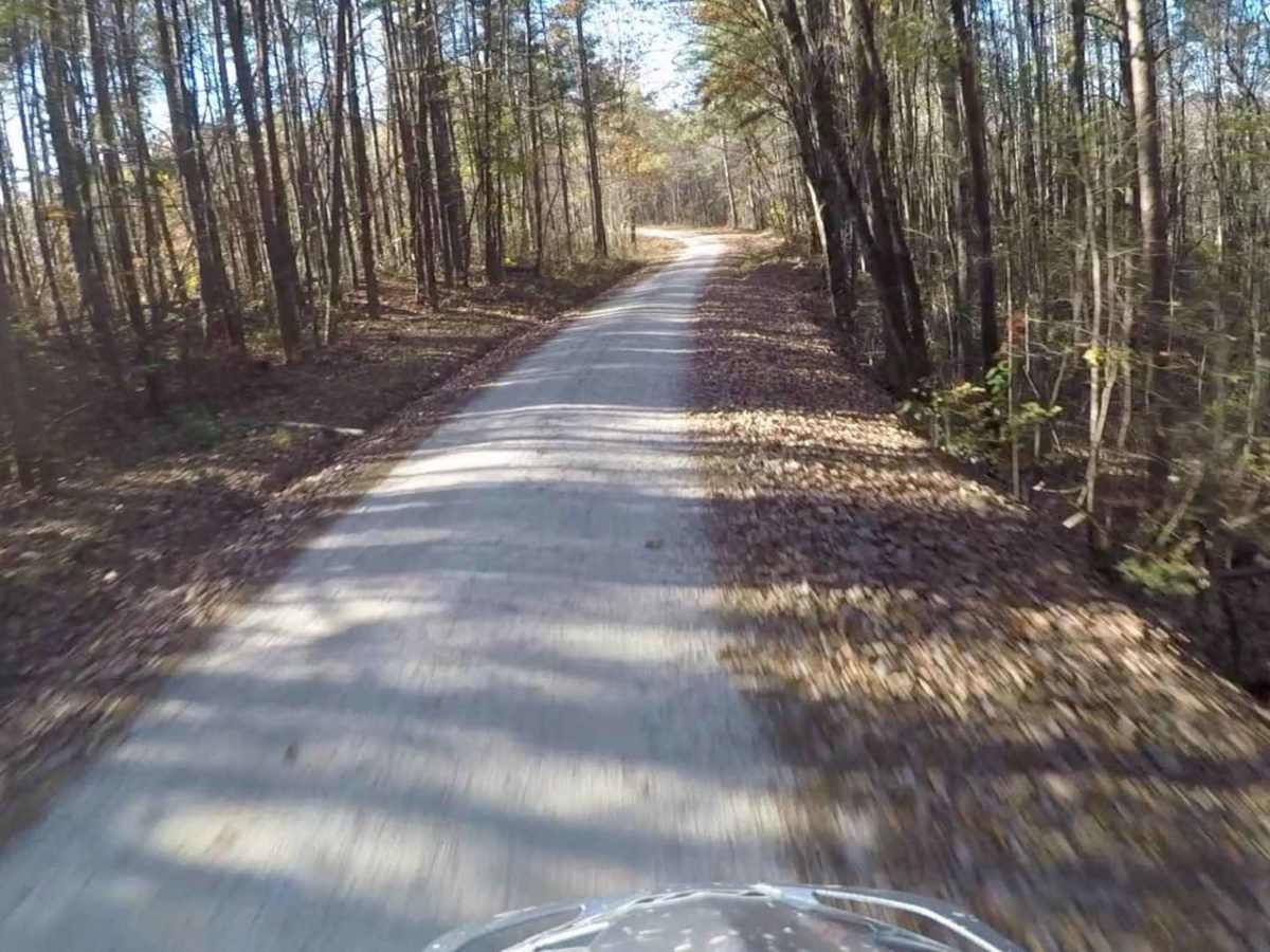
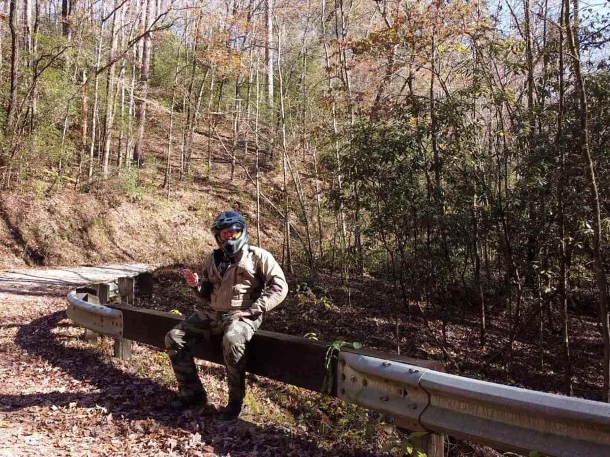
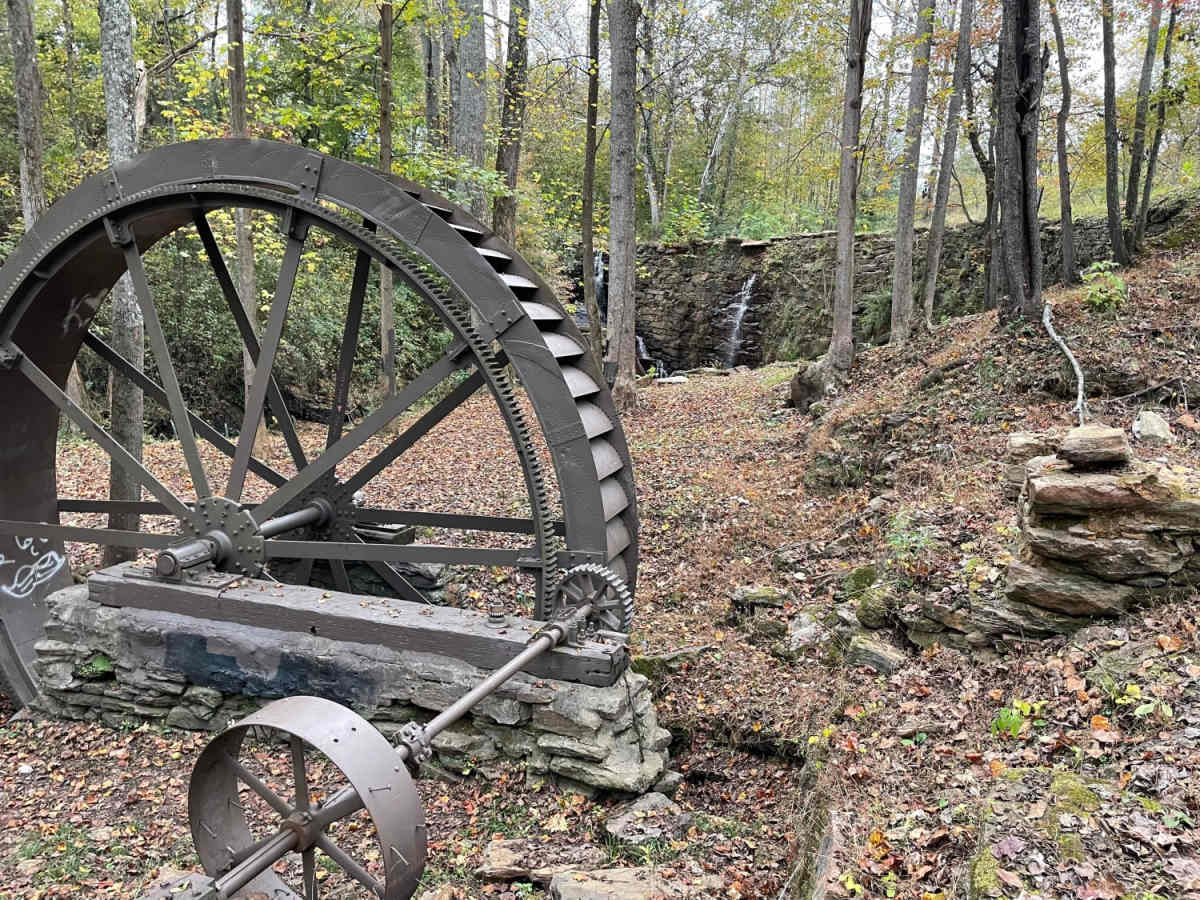
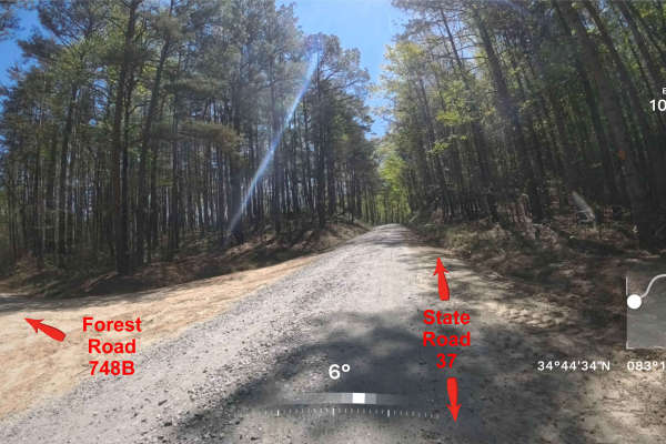
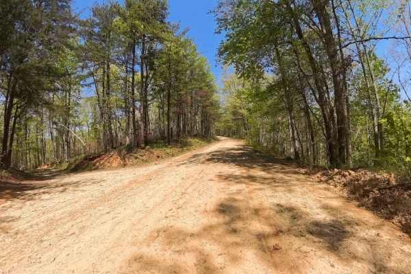
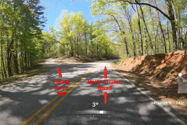
Segment 3 is the "upstate" section of the SCAR, and is bookended by the towns of Westminster and Gaffney. This section transits the Blue Ridge Mountains and consists of some fabulous gravel roads with a few notable climbs and descents. It is interspersed with some beautiful paved sections--including some time on the Cherokee Foothills National Scenic Byway, which passes Table Rock Mountain and Caesar's Head State Park. The highest elevation of the SCAR Loop is in Caesar's Head State Park, at about 3,500 ft. Be sure to stop at the visitor's center and absorb the view! Another notable point of interest is the Cowpens Revolutionary War battlefield. About the SCAR: The South Carolina Adventure Route loops through approximately 1,000 miles of rural South Carolina. Along this route, you'll enjoy the Blue Ridge Mountains, the Atlantic Ocean, diverse forests, cotton fields, state parks, historical sites, and quaint towns. The SCAR also connects to the Smokey Mountains 500, the Georgia Traverse, and the Trans-America Trail (TAT), providing riders on those trails with a scenic route to the Atlantic coast at Edisto Beach. The roads along the SCAR are a mix of pavement and dirt, 60% and 40% respectively, with the surface alternating between gravel, dirt, clay, and sand. The route is not exceptionally technical, but dry conditions can leave the sandy roads loose, while wet conditions can leave the mud and clay roads slick and rutted. Travelers should expect to encounter deep sand and sizable mud holes in the worst conditions.

Photos of South Carolina Adventure Route Segment 3

Difficulty

This is largely graded gravel roads and some beautiful sections of winding pavement.

Technical Rating

2

Status Reports

Add Status Report
Durham Baker
Aug 29, 2025
Open
Gina Yates
Jun 14, 2025
Open
Daniel Parkhurst
Jun 14, 2025
Open
Kenny Mcdonald
Mar 22, 2025
Open
Due to fires road to Saluda is closed
Some Guitar Guy
Jan 30, 2025
Open
Rode CW from Cendy's Cafe (SC 11/Pleasant Grove Rd) to Green River Rd/US 25. Bridge on Moody Bridge Rd is out. Suggest Talley Bridge Rd. instead. Green River Rd is pretty muddy and slick. Otherwise great ride.
Some Guitar Guy
Jan 20, 2025
Open
I rode CCW from the Oconee/Pickens line to SC 28/Whetstone Rd. Stunning ride and views but watch for ice in shady spots. TWD
Stephen Morton
Jan 18, 2025
Open
We drove part of the SCAR Seg.3 Jan 18 2025 near Landrum, SC and ran into a temporary closure at the intersection of Saluda Road and Seg3 south of Saluda, NC. A grader and barriers crossed the trail. We drove around the trail into Saluda and back onto Sec3 just north of the town at Old US 25 Hwy near Zircona,NC. The rest of the trail until Cleveland was open.
Javoris Smiley
Dec 29, 2024
Open
Santiago Mantilla
Dec 03, 2024
Open
larry staley
Nov 25, 2024
Open
Tony Arias
Sep 07, 2024
Open
Lannis Waters
Jun 27, 2024
Open
Burrells Ford Road is an easy drive, no 4wd needed, at least on a dry day. No one on the road except a small group at the river.
Joel Hawkins
May 05, 2024
Open
Ian Pettit
Jan 23, 2024
Open
Good solid gravel base, easy to slow cruise on. Nice views and scenic drive. Made detour on a couple of the spur roads 745B and 750. 745B continues after the trail shown ends down to a bottom near the creek and some falls. Need high clearance 4x4 to make it down and back that part.
Caitlyn Foster
Aug 16, 2023
Open

South Carolina Adventure Route Segment 3 Trail can be accessed by the following ride types:

  • High Clearance
  • Full Width

South Carolina Adventure Route Segment 3 Map

The onX Offroad Difference

onX Offroad combines trail photos, descriptions, difficulty ratings, width restrictions, seasonality, and more in a user-friendly interface. Available on all devices, with offline access and full compatibility with CarPlay and Android Auto. Discover what you're missing today!

Open Trail Map