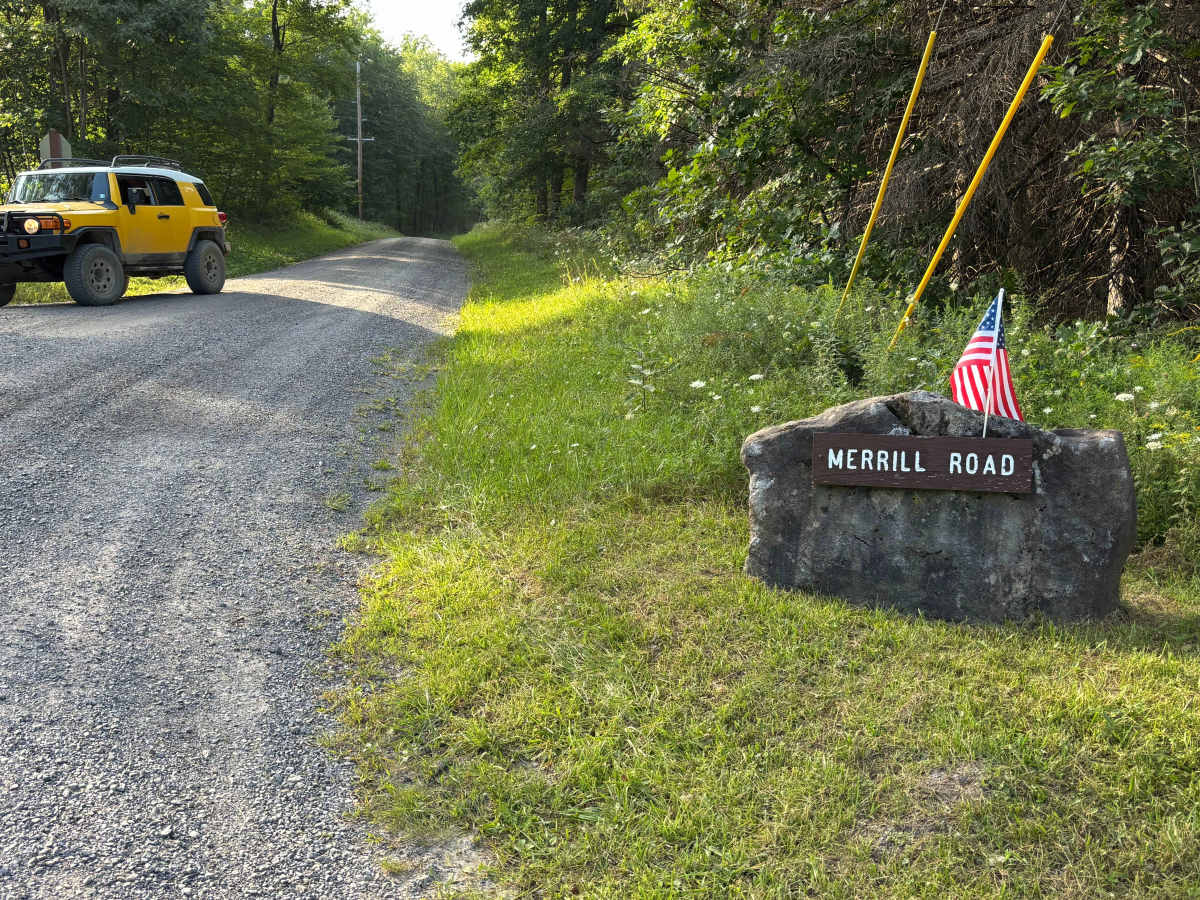
Merril Road

Total Miles4.9
Technical Rating
1Easy
Best TimeSpring, Fall
Trail TypeFull-Width Road
Accessible By
Open Trail Map

Trail Overview

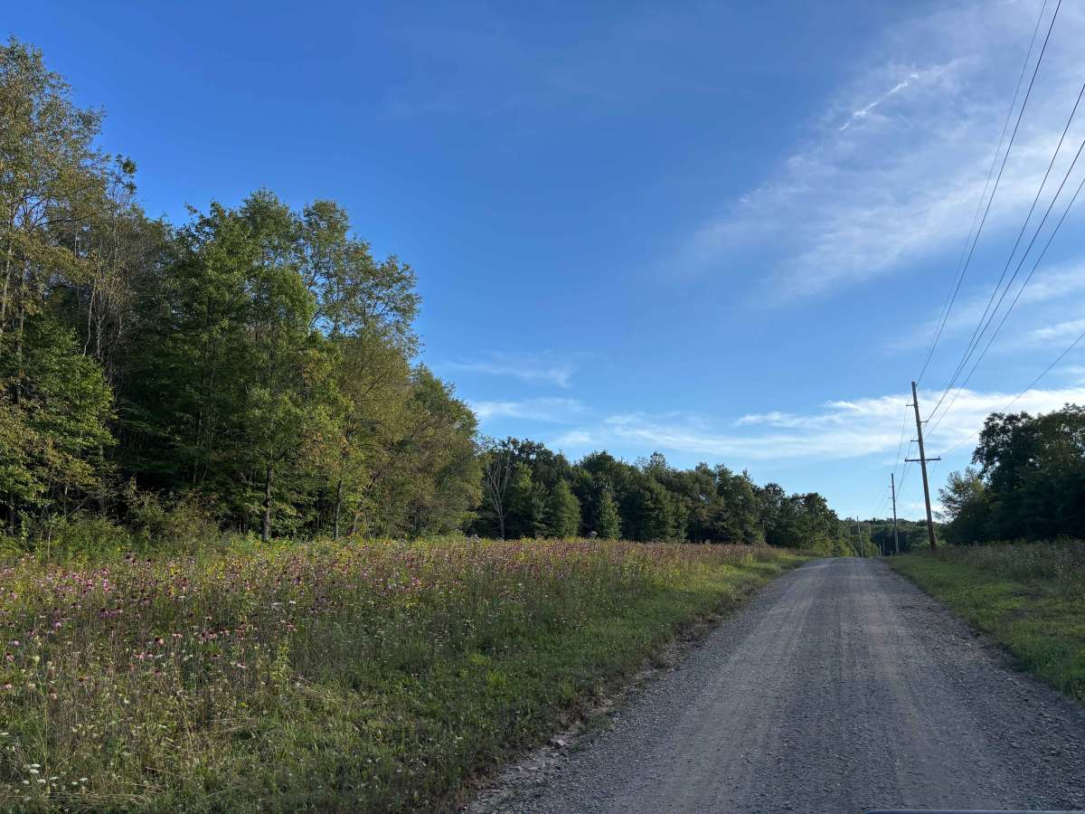
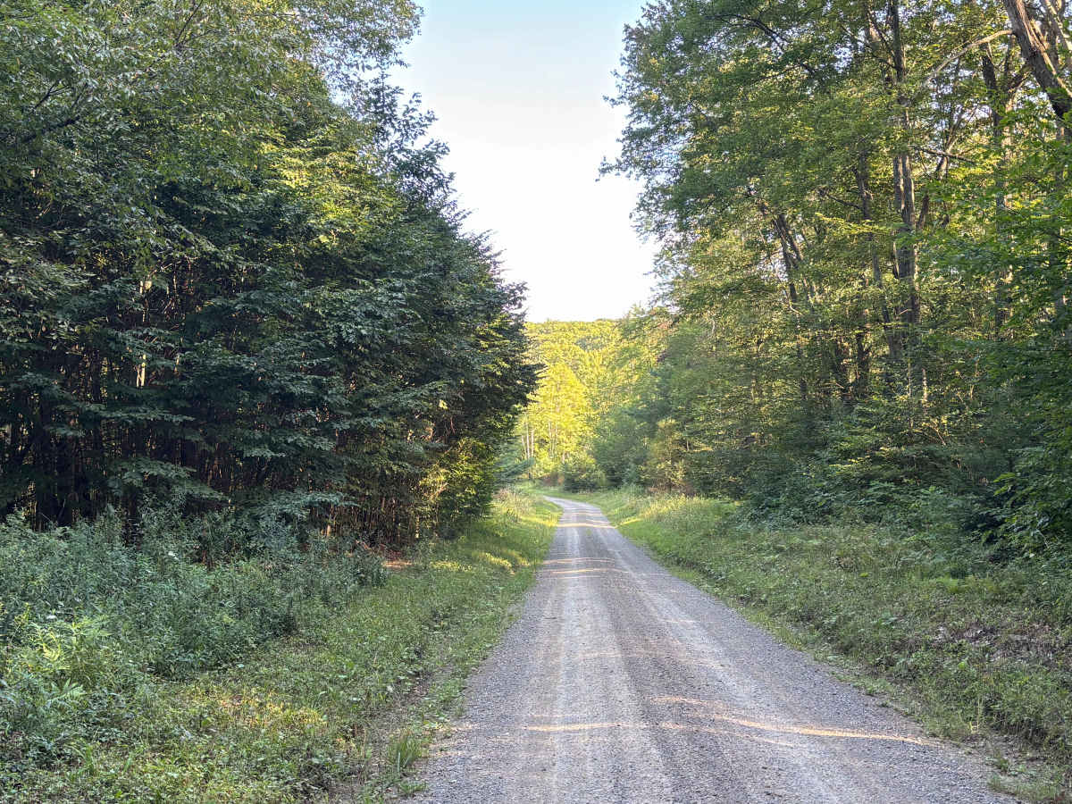
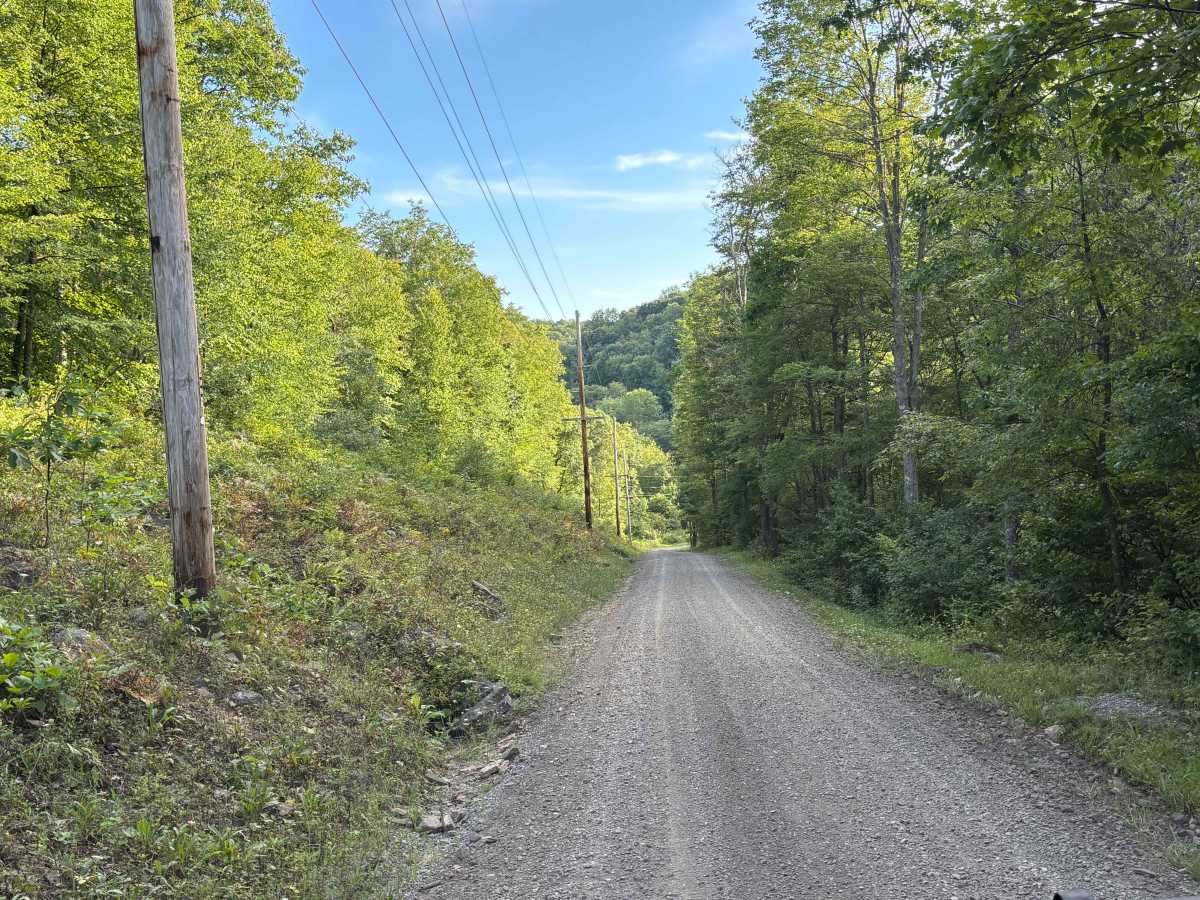
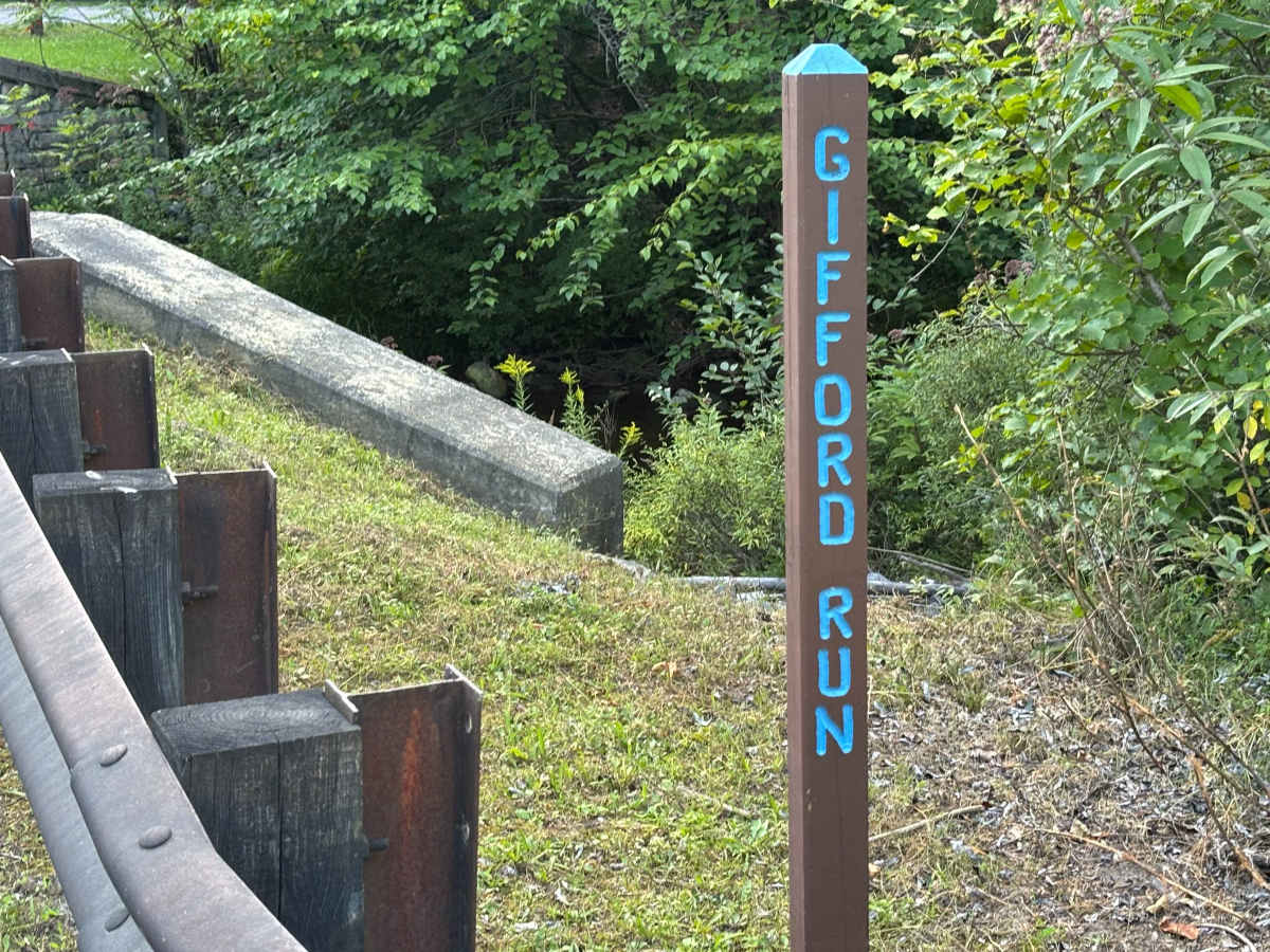
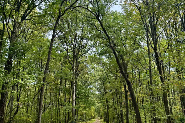
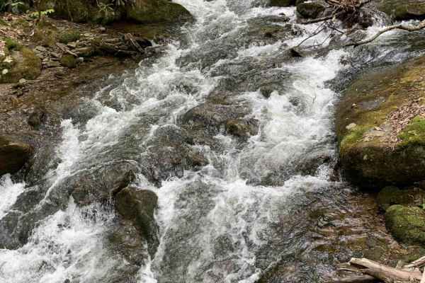
Merrill Road is primarily a graded gravel road through Moshannon State Forest, connecting Caledonia Pike to the intersection of Wilson Switch Road and Ardell Road. It is an easy through route, smooth and less traveled than the roads around it, and a more direct way to reach the Quehanna Highway. The road provides access to Gifford Run and McNerney Run.

Photos of Merril Road

Difficulty

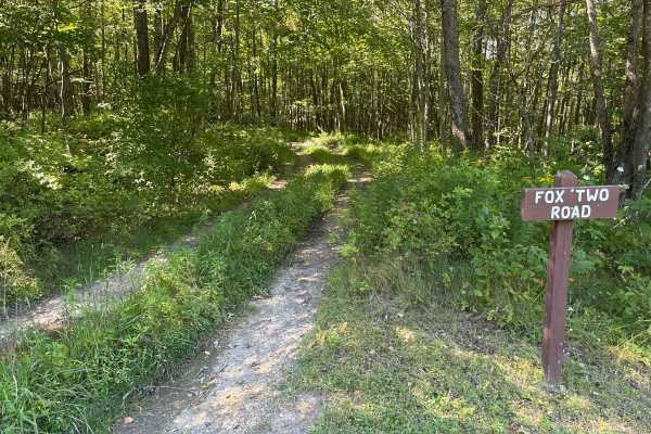
Merrill Road is a graded gravel road with rolling grades and no significant obstacles. It runs about a lane and a half wide for most of its length, so use caution when yielding to oncoming traffic. The road tightens on the hills descending to Gifford Run. Wet weather leaves it soft in spots but nothing major. There is no winter maintenance, and the road is sparsely traveled. During heavy snowfall and ice accumulation, it is advised to come prepared.

Technical Rating

1

Merril Road Trail can be accessed by the following ride types:

  • High Clearance
  • Full Width

Merril Road Map

The onX Offroad Difference

onX Offroad combines trail photos, descriptions, difficulty ratings, width restrictions, seasonality, and more in a user-friendly interface. Available on all devices, with offline access and full compatibility with CarPlay and Android Auto. Discover what you're missing today!

Open Trail Map