Trail Overview
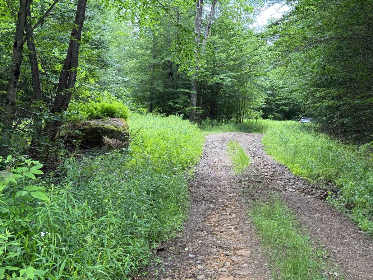
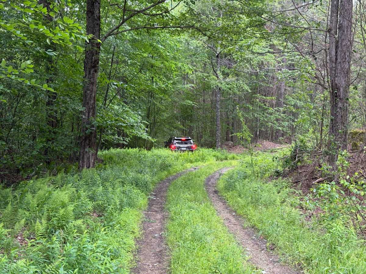
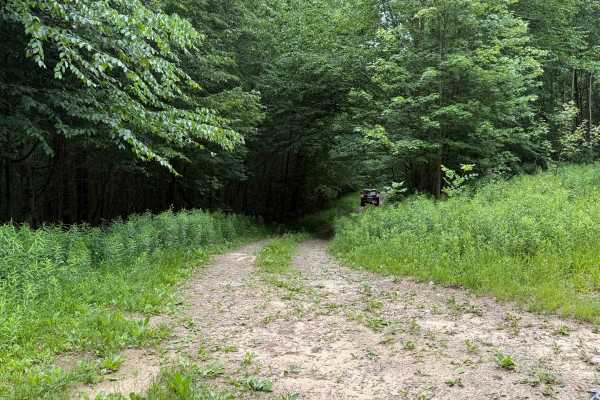
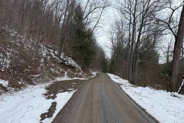
JCRAIG Adventure Trail begins on a bend. Slightly rocky, nothing too crazy, with a gentle incline. As you head up, the road gets progressively rockier and more uneven. Small ruts start on the right side and grow to about medium-sized as you near the top of this first incline. At the Y — Take a right at the fork. After the Y — The road climbs again. A rut runs along the left side through here, so stay to the right to keep out of it if you can.
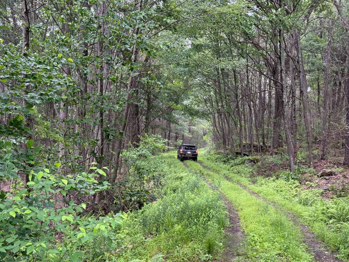
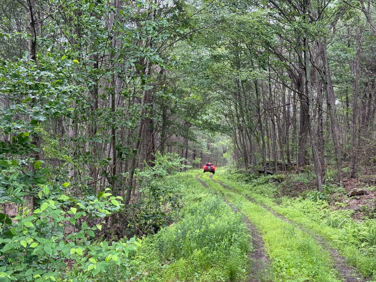
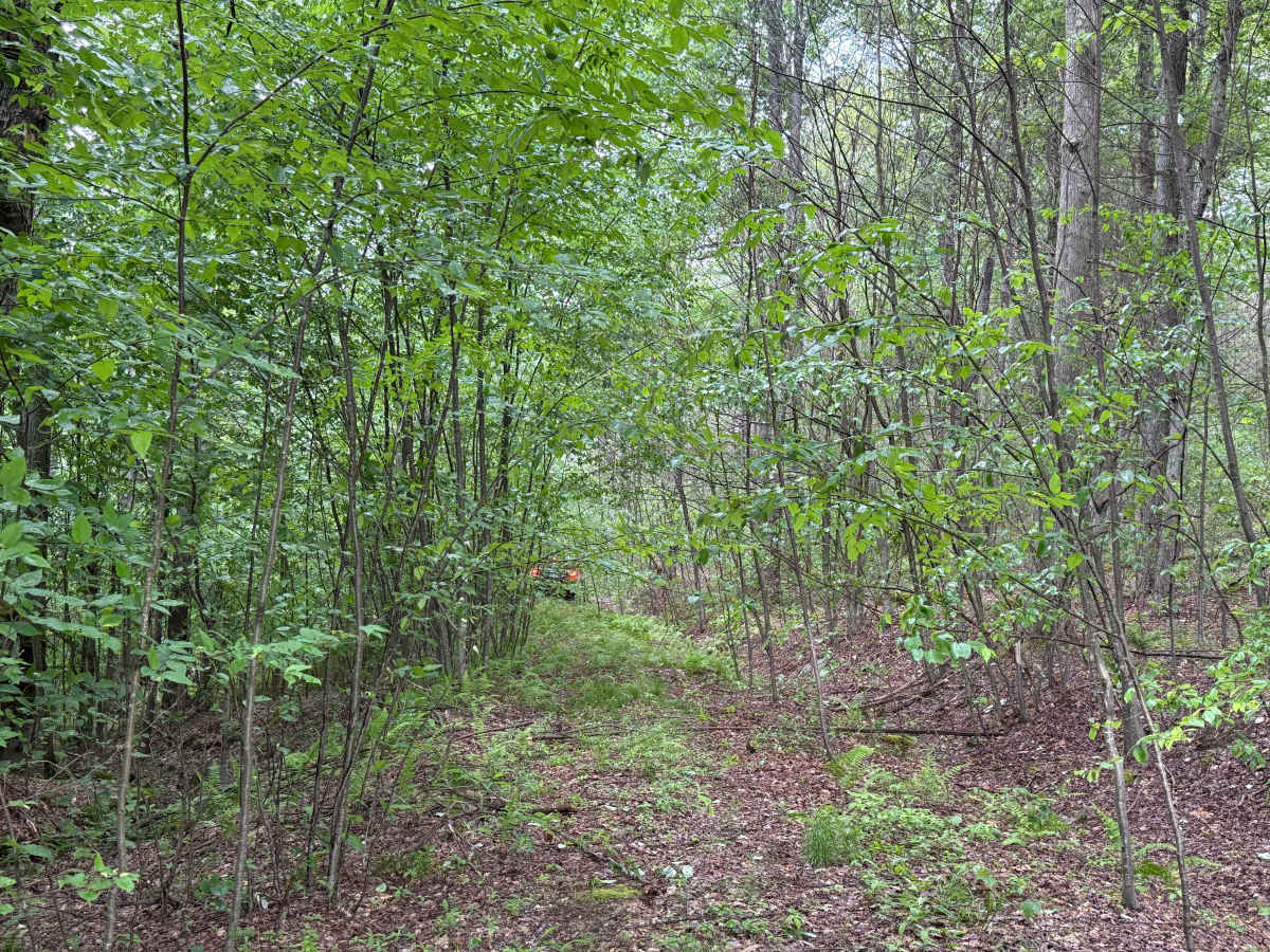
0.8 mi — Downed tree on the left. You can get past it by hugging the right side of the road. ~0.9 mi (just under a mile) — Sharp left-hand hairpin turn. Watch for it and take it slow. Continuing — Still climbing, the terrain stays pretty rough and uneven. 1.2 mi — Take a left onto a small, easy-to-miss hidden road. 1.4 mi — Turn left off into the brush. This stretch is tight — close quarters with trees and shrubs and very overgrown. I wouldn't recommend it unless you don't mind your vehicle pushing through that kind of terrain. Anything with a wider stance is going to be knocking down some small trees through here. ~1.5 mi — A real drop-off. Look out for this one and go as slow as you can. Just past that — A significant dip in the road. Be careful not to bottom out — there's a high chance you will if you're carrying any speed. Accessibility: Like many forest roads, its condition can vary, and it is best to check the Allegheny National Forest Motor Vehicle Use Map (MVUM) for the latest information on its status. Conditions are also subject to weather and seasonal changes. https://www.fs.usda.gov/r09/allegheny
Difficulty
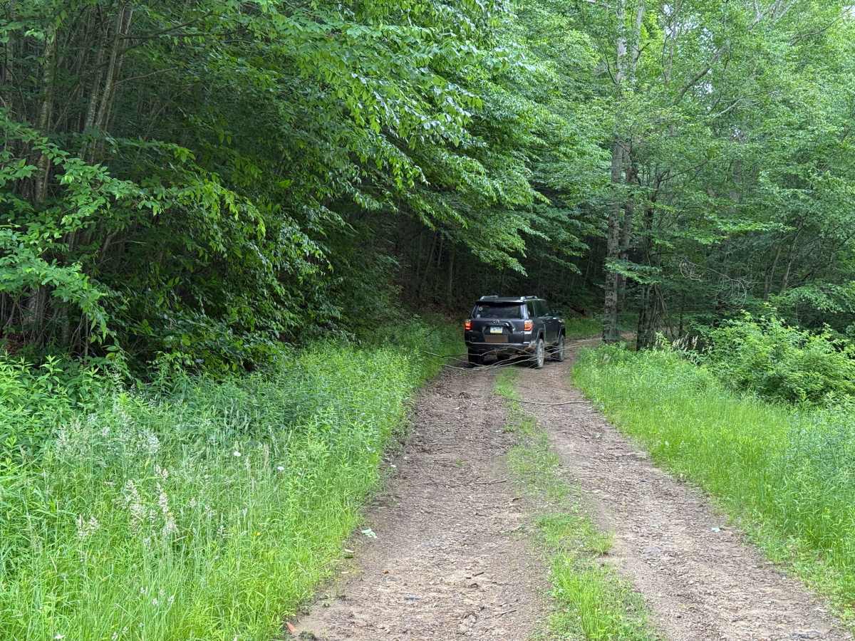
This trail, I would caution going on, as it is really narrow with very tight trees. There are a few spots that get you off camber. Walk this route in places if possible, and you can get high centered on some of the hidden rocks. Toward the end is overgrown vegetation and mud holes you can get stuck in, so make sure if you go down this trail, you have adequate recovery gear.


 Offroad