Trail Overview
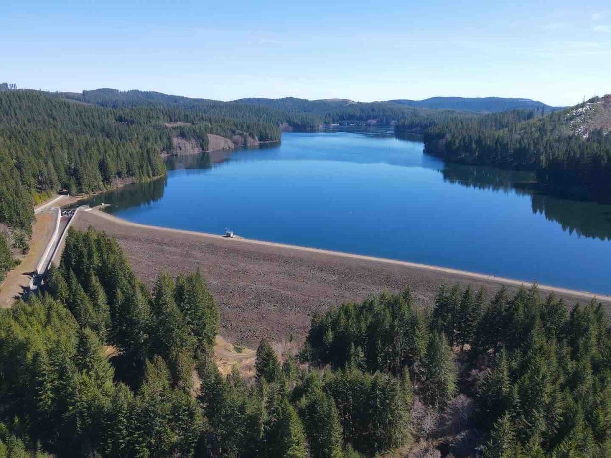
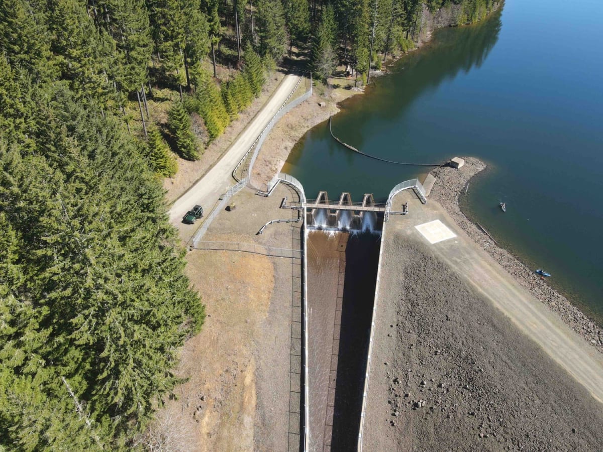
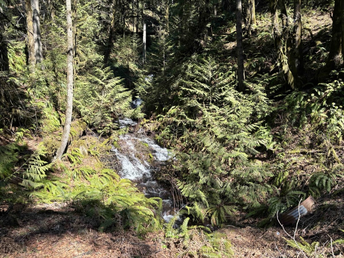
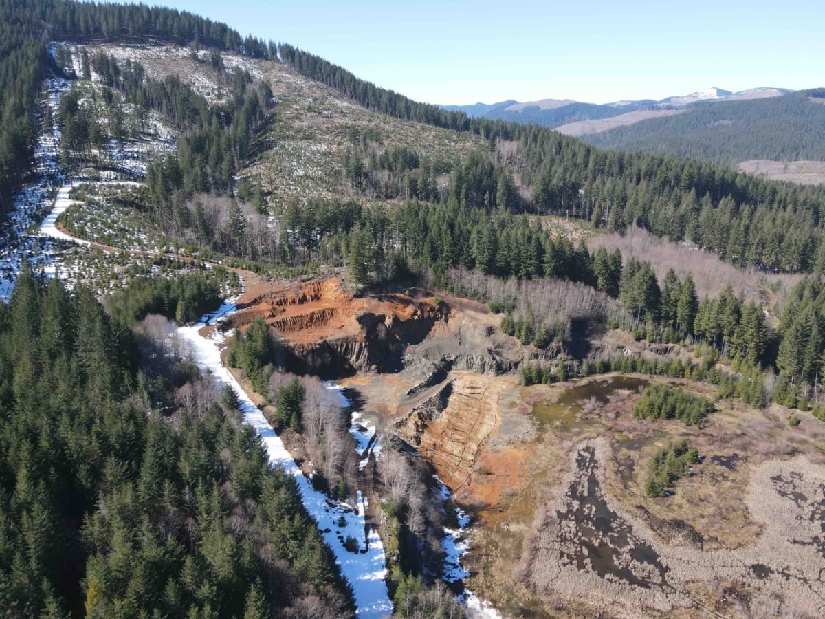
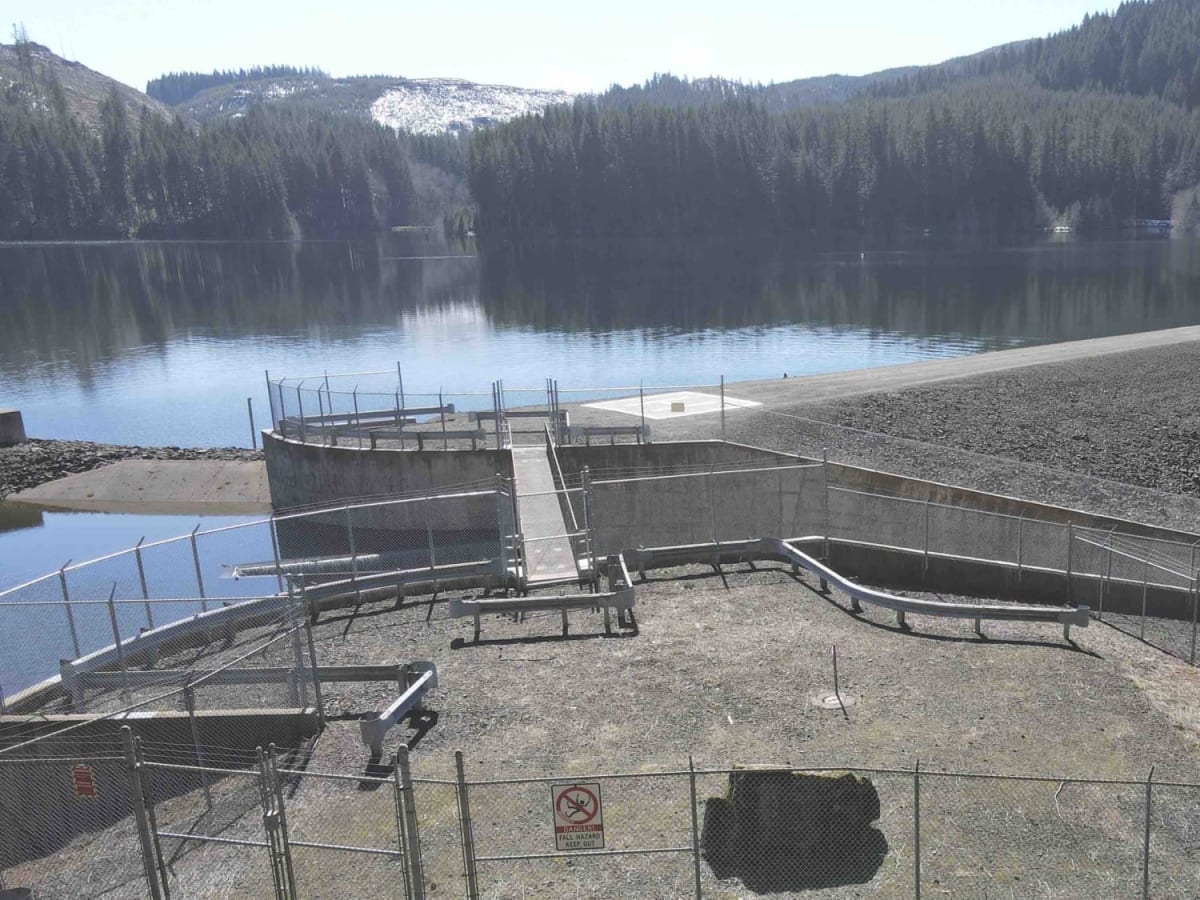
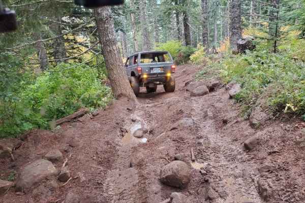
Start at the Yamhill Reservoir on Northwest Turner Creek Road, about 8 miles northwest of Yamhill, Oregon. The Yamhill Reservoir is a small body of water on the south side of the road, and just past the Yamhill Reservoir is the water treatment plant. After the water treatment plant is a gate. As with all gates in the area, they may be closed for a variety of reasons and without notice. Northwest Turner Creek Road past the gate may have been paved at one time but it's currently dirt, gravel, and potholes. There are no obstacles aside from these numerous potholes. In the spring, there will be plenty of small waterfalls along the road from the snow runoff. Exploring routes off the main roads or past the Barney Reservoir may require higher-clearance vehicles. At 4 miles will be a three-way intersection; the road to the west, Northwest Flora Main Line Road, is gated and may be closed. Stay to the right and this becomes Northwest North Fork Trask Road. Approximately 6.5 miles in is the Barney Reservoir gate. About 750 yards past the gate is a holding pond to the east and the first clear view of Barney Reservoir to the west. There is a small parking area on the west side of the road. The road becomes Gales Creek Road at the holding pond area. Approximately 2 miles past the holding pond area is the Eldon S. Mills Dam. This dam was built in 1999 and replaced the Trask River Dam (the name indicated on the map). It's believed the Trask River Dam was built in 1970 and the new dam was needed to increase the water capacity. The reservoir is approximately 450 acres in size. If you plan on fishing, be sure to check the local regulations as some species will be catch-and-release only. Boats are allowed, but no power boating, including electric. During fire season, it's very likely that access will be restricted. While this Guided Trail ends at the dam, there are more areas to explore, although the simplest route back is the way you came in.
Difficulty
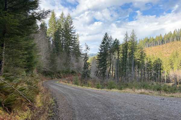
Northwest Turner Creek Road past the gate may have been paved at one time, but it's currently dirt, gravel, and potholes. There are no obstacles aside from these numerous potholes. Visitors to the area may be there in cars, although side roads and trails may require additional clearance.