Gobblers Knob

Total Miles 21
Technical Rating
2 Easy
Best Time Spring, Summer, Fall
Trail Type Full-Width Road
Accessible By
Open Trail Map

Trail Overview

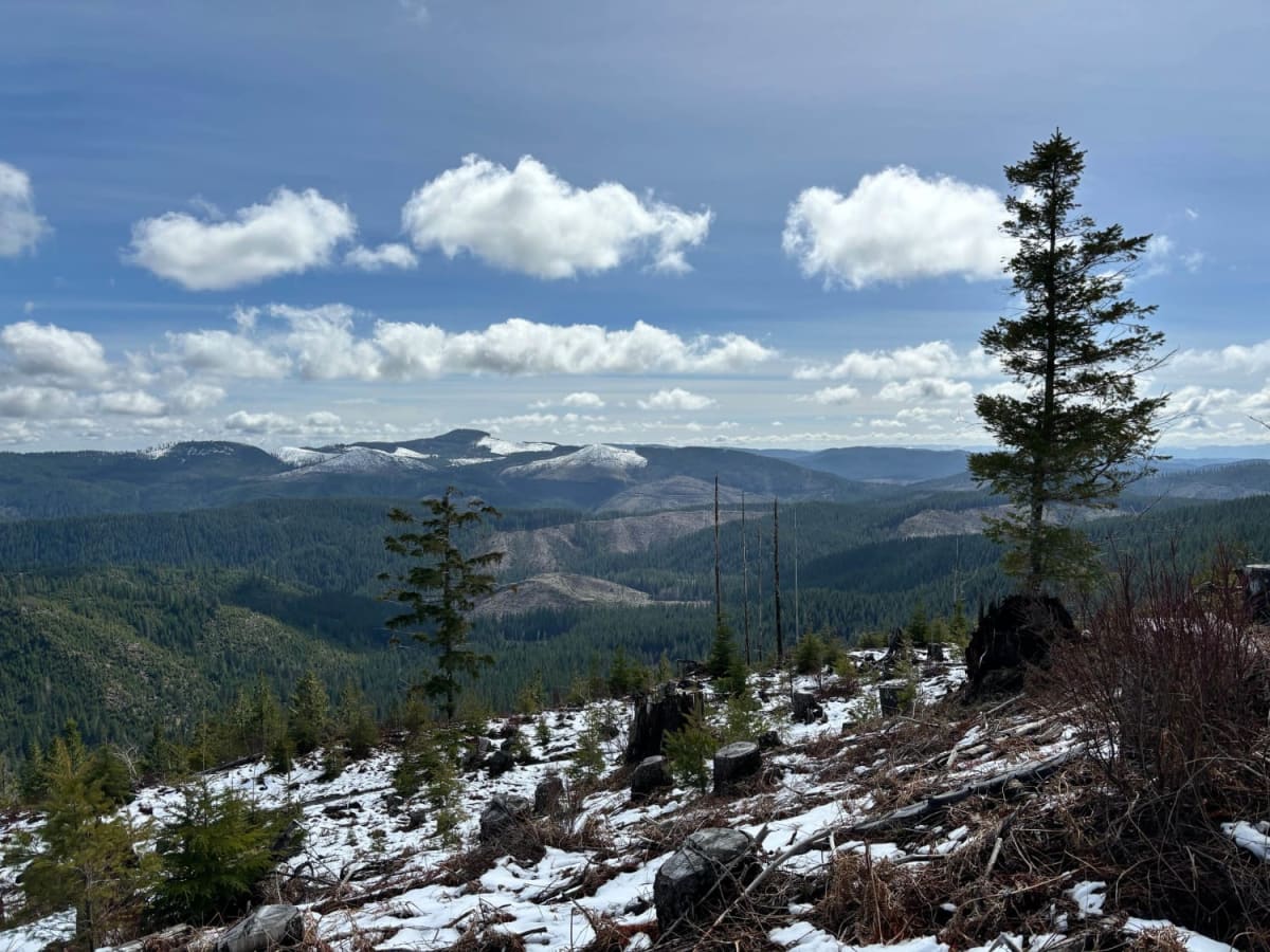
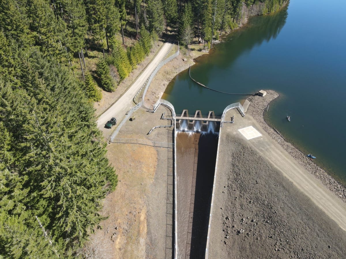
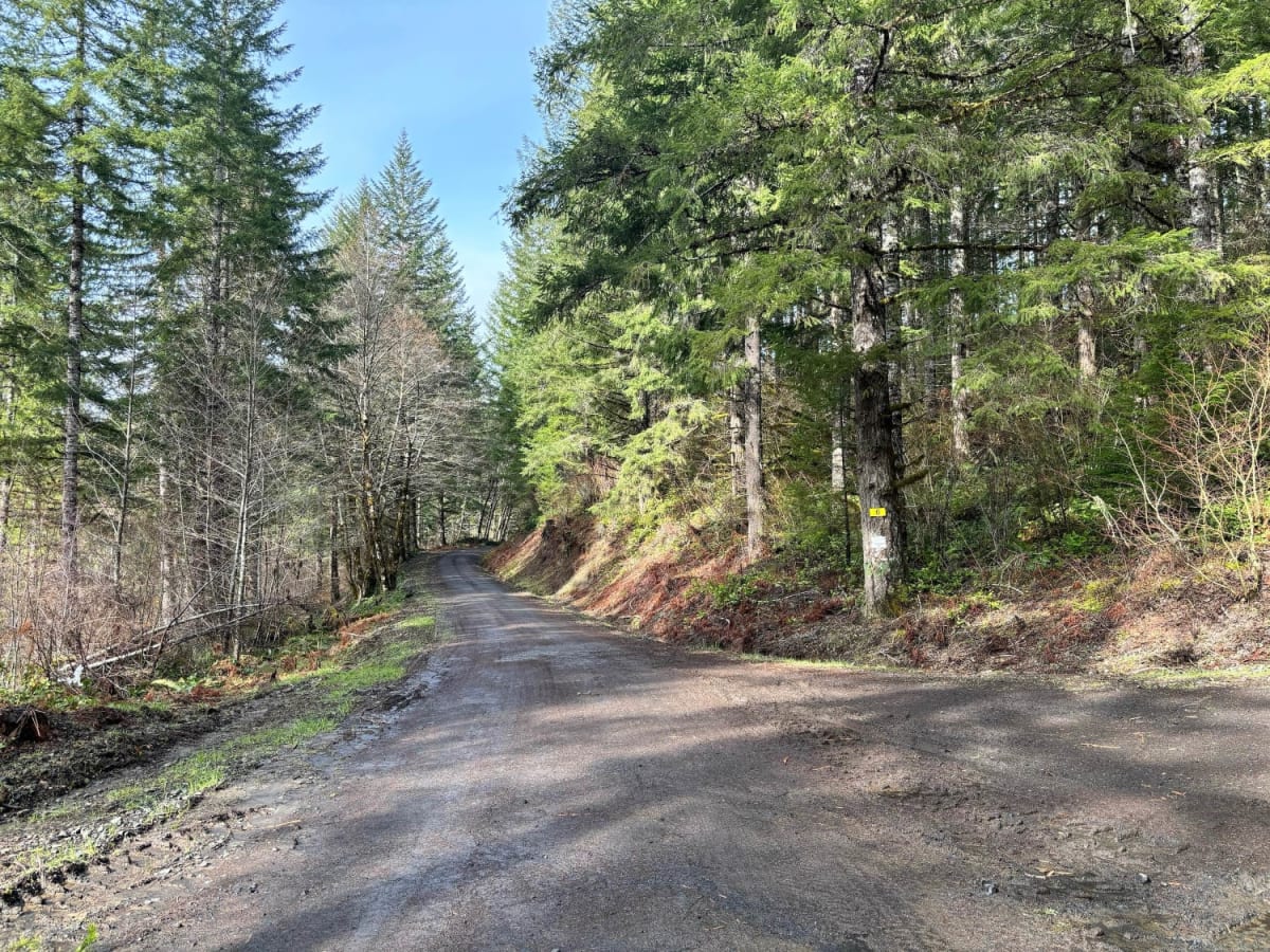
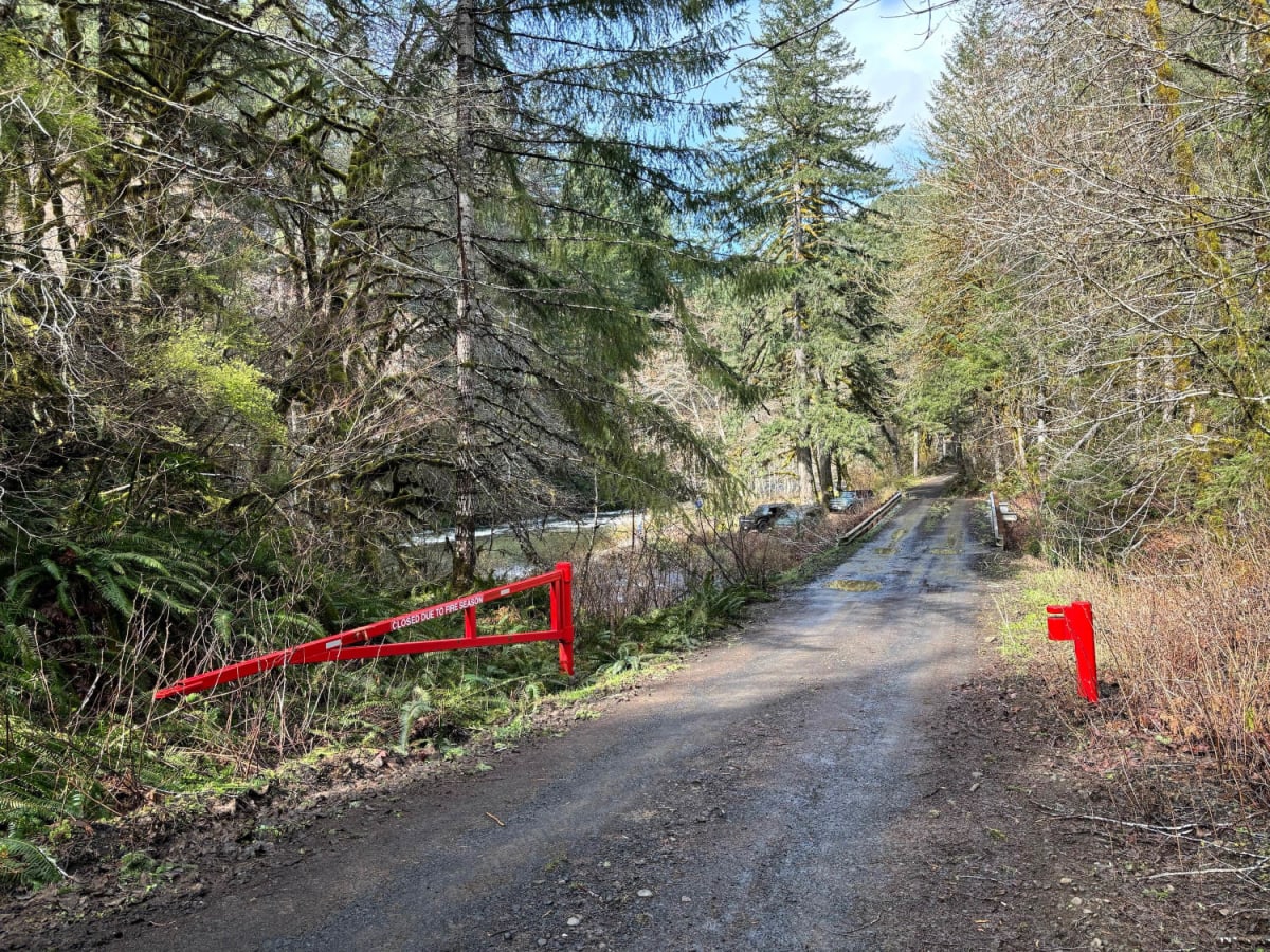
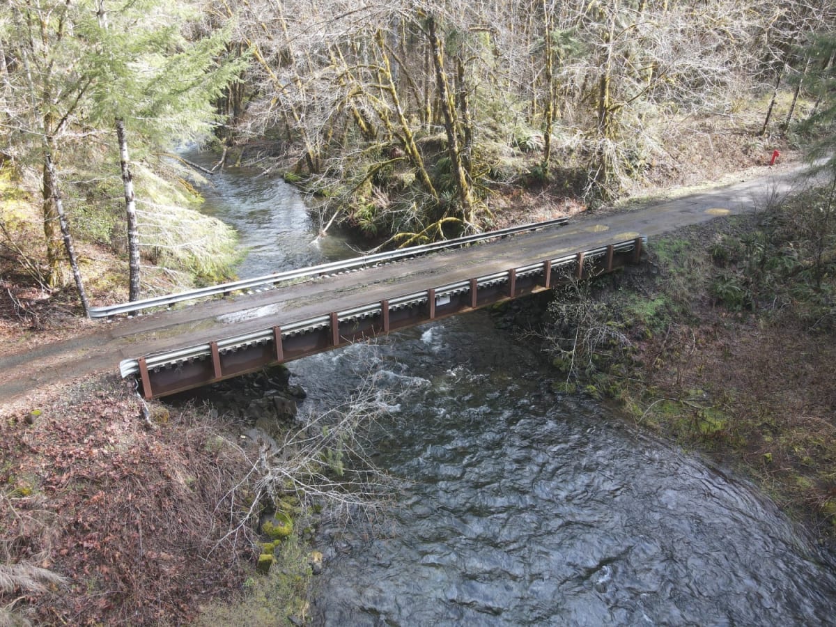
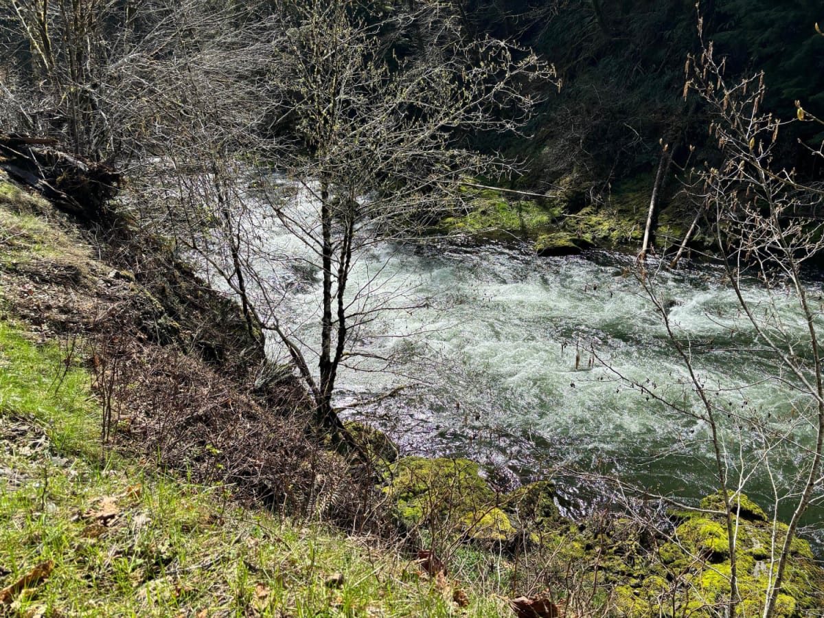
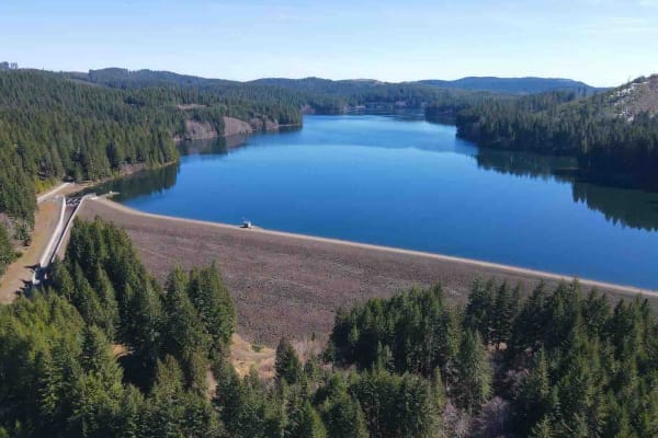
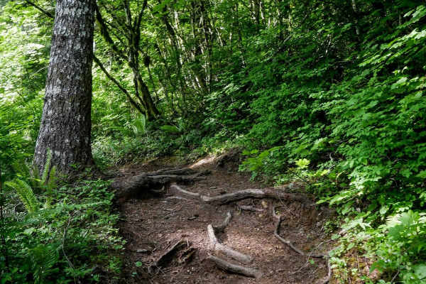
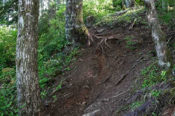
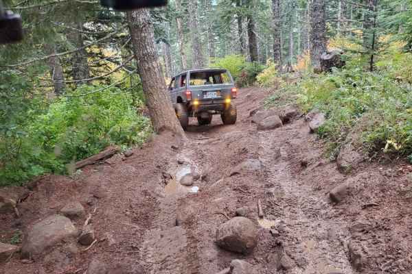
Gobblers Knob is a 3,054-foot hill in the Tillamook State Forest south of the North Fork Trask River. It offers a spectacular view of the surrounding forest and mountains, especially to the south. The trail is not difficult aside from the final climb to the summit. Of course, weather conditions will vary the trail conditions. Start at the spillway for the Barney Reservoir and head north, then west, and after crossing the North Fork Trask River, back to the east. There will be several intersections along the way. While it may only take a few hours to complete, be sure to factor in several more hours to take in the scenery along the way. There are potential stops alongside the North Fork Trask River and as you climb up to Gobblers Knob. In the spring, there will likely be many waterfalls from the spring runoff. The road surface is typically gravel and potholes. There is a gate at the junction of the North Fork North Fork Trask River (this is not a made-up name) and the North Fork Trask River that can be closed during fire season. As mentioned, the final climb to the summit of Gobblers Knob is probably the most difficult section, as there is loose gravel and potentially streaming water. It's steep and may be a challenge for some vehicles.

Photos of Gobblers Knob

Difficulty

The vast majority of the trail is easy gravel road with occasional potholes. The final climb to the summit is steep with loose gravel and the most difficult section.

Technical Rating

2

Status Reports

Add Status Report
Paxton Roy
Jun 13, 2026
Open
Obstruction is cleared and we have topped Gobblers Knobb!!
Dan H
May 28, 2026
Open
Small rock slide at 45.46208° N, 123.50513° W approx 10 miles past Barney Reservoir. Big pile on half the road and a single big rock on the other side, which could be moved to get through but I couldn’t fit my truck as it was.
Shane Bailey
Apr 25, 2026
Open
Landslide has been cleared
Aaron Mendoza
Apr 05, 2026
Open
Washout at 45.46224, -123.53275
Rachel C
Mar 29, 2026
Open
Impassable washout just past mile 6 going W to E (from Trask River Rd towards Gobbler's Knob). This one may never get fixed.
Daniel
Nov 28, 2025
Open
Road has a lot of pot holes but easy cruise up, this drive had a lot of low clouds/fog making visibility a challenge.
will r
Sep 21, 2025
Open
gorgeous and super fun! a few washboard sections near the beginning and end and a little bit of mud but nothing hard at all. will definitely be back
Kam Zabel
Jul 27, 2025
Open
the knob was gobbled
Andrew Buren
May 24, 2025
Open
Great views of mt hood and some small waterfalls and some nice fishing spots along the trask river too or just a nice spot for a snack. The knob was gobbled
James Aldridge
Apr 30, 2025
Open
Easy and chill drive, very pretty right now. Lots of little water falls at the start and great views at the end. Last quarter miles is fairly steep and could be done on 2wd, throw it into 4high and mountain goat your way up.
Joshua Kraner
Apr 13, 2025
Open
Beautiful day. Amazing views. Knob was gobbled.
C Bow
Apr 06, 2025
Open
Fun spot that’s pretty easy, Knob was Gobbled
r d
Mar 25, 2025
Open
Ismail Abdullah
Sep 29, 2024
Open
Michael Hains
Aug 31, 2024
Open

Gobblers Knob Trail can be accessed by the following ride types:

  • High Clearance
  • Full Width

Gobblers Knob Map

The onX Offroad Difference

onX Offroad combines trail photos, descriptions, difficulty ratings, width restrictions, seasonality, and more in a user-friendly interface. Available on all devices, with offline access and full compatibility with CarPlay and Android Auto. Discover what you're missing today!

Open Trail Map