Trail Overview
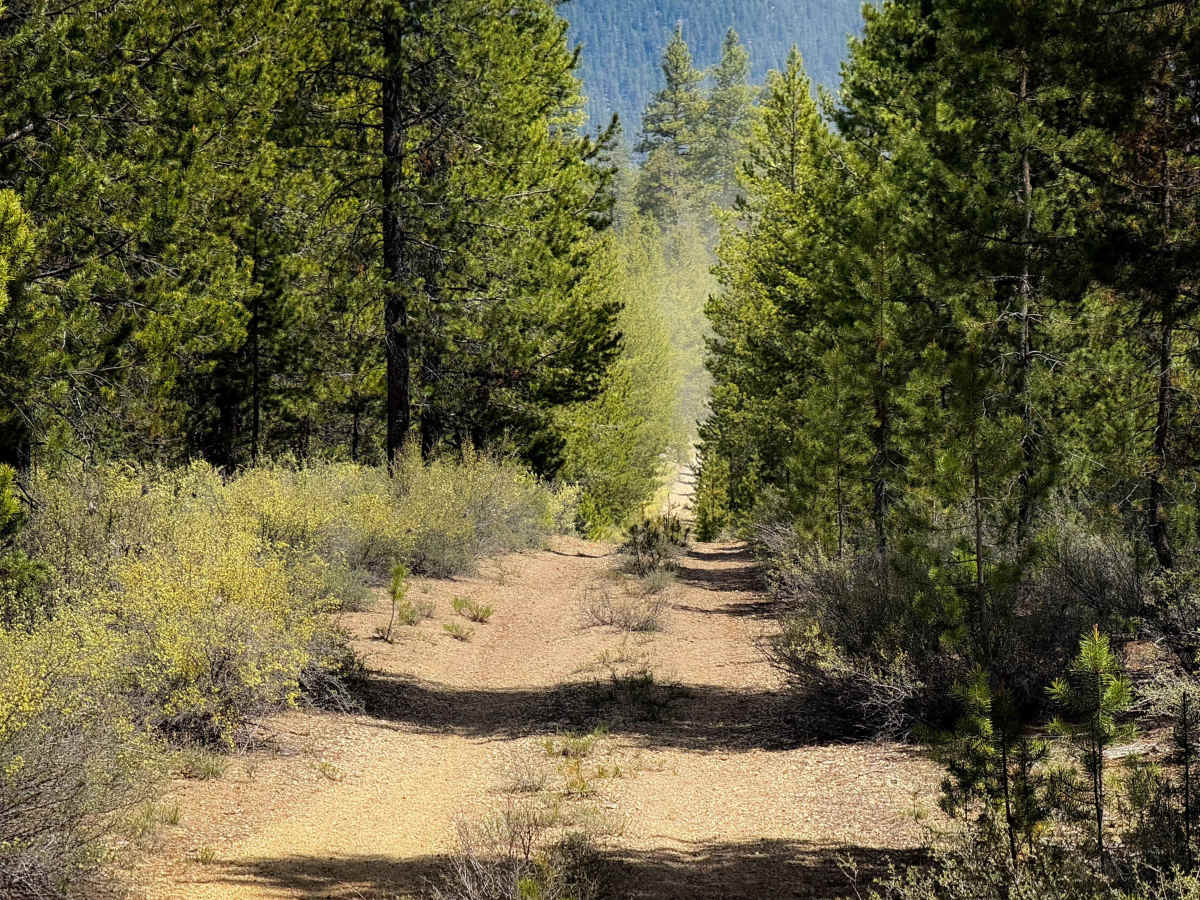
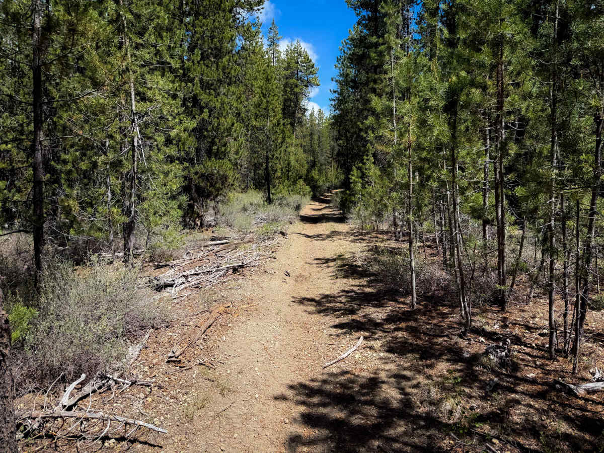
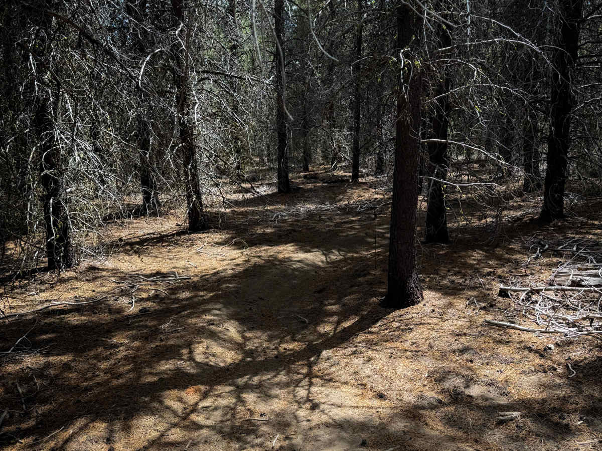
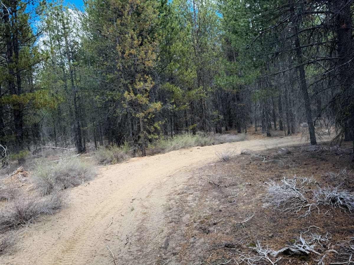
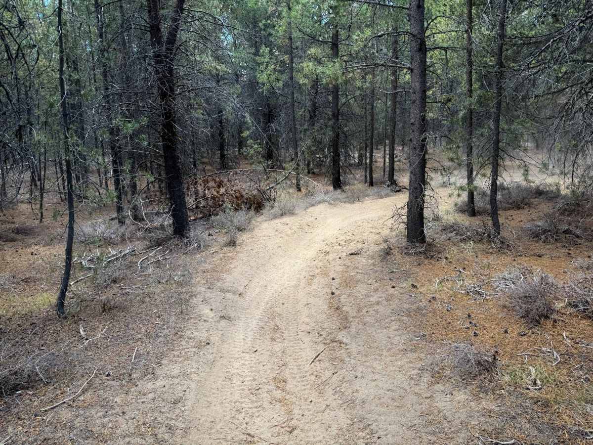
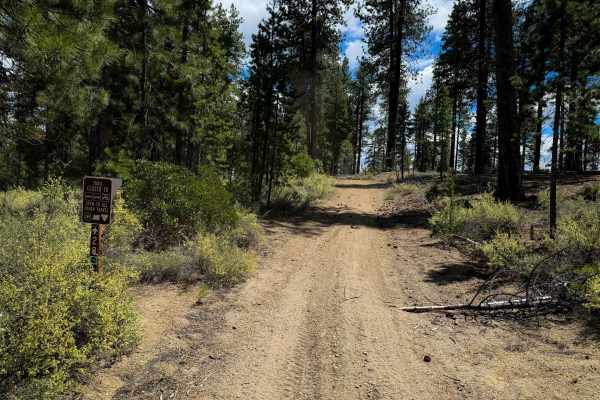
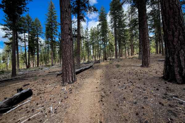
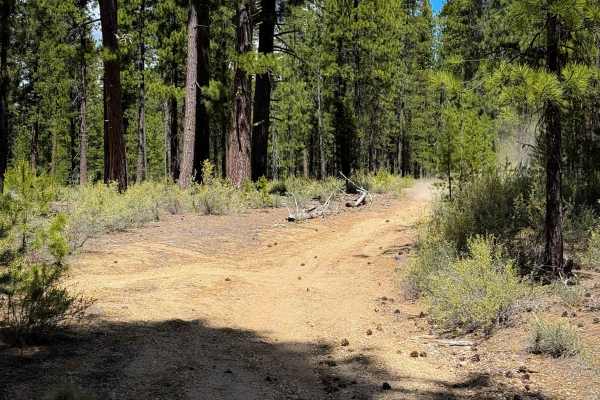
The north end of Trail 18 starts out going straight and fast on a wide path lined with lodgepole pine trees, but quickly narrows up in a tighter tree corridor, becoming very curvy. The trail is very silty and dusty, and later riding through a dry and sparse forest of ponderosa pines. There is very little rock in the trail, but minor roots and debris from previously cut logs; however, there are a lot of low-hanging branches that you have to watch out for that are sticking out into the trail. There are several intersections, but the trail is well marked with signs to help follow the route, coinciding with Trail 16 for a few feet at one point. The majority of the trail is all the same – just tight and winding between the trees. There is very little elevation change throughout the 2.4-mile-long route. Although designated for 50” ATVs, there are many sections that feel too narrow for ATVs between the trees and are more ideal for dirt bikes only. It looks mostly frequented by dirt bikes.
Difficulty
This is an easy route as it is mostly just tight and winding, with very little technical element. There are no rocks or big obstacles, and it remains very flat and gradual. ATVs should expect very narrow terrain.