Trail Overview
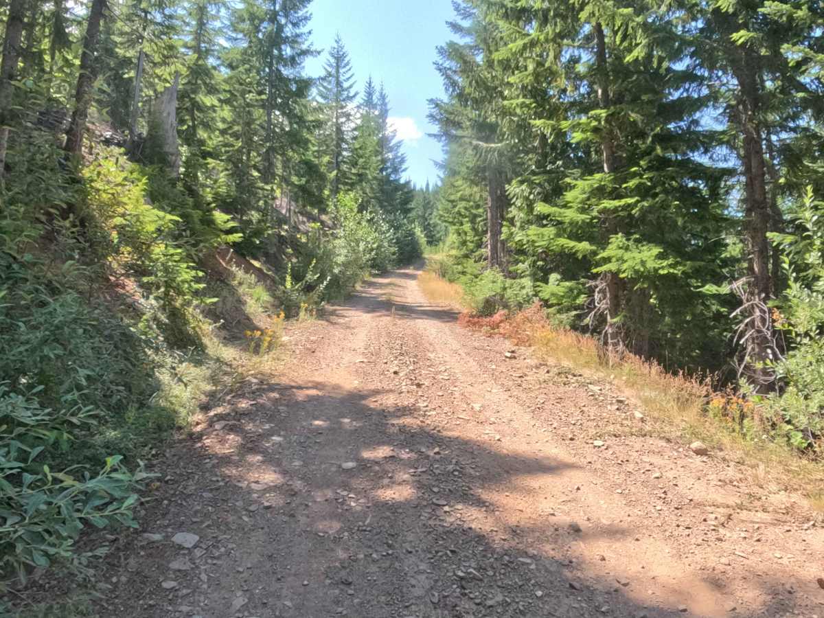
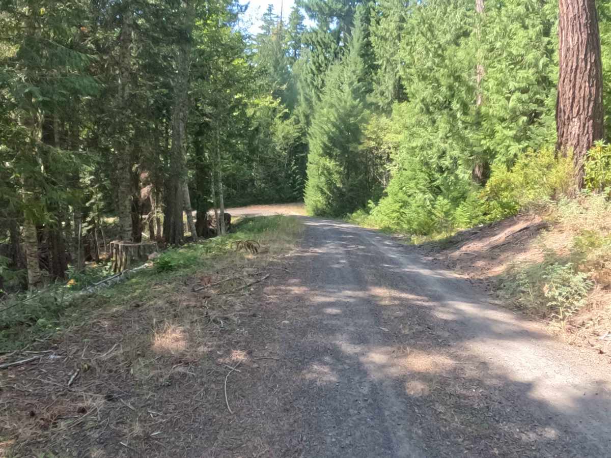
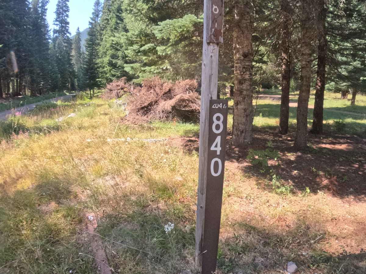
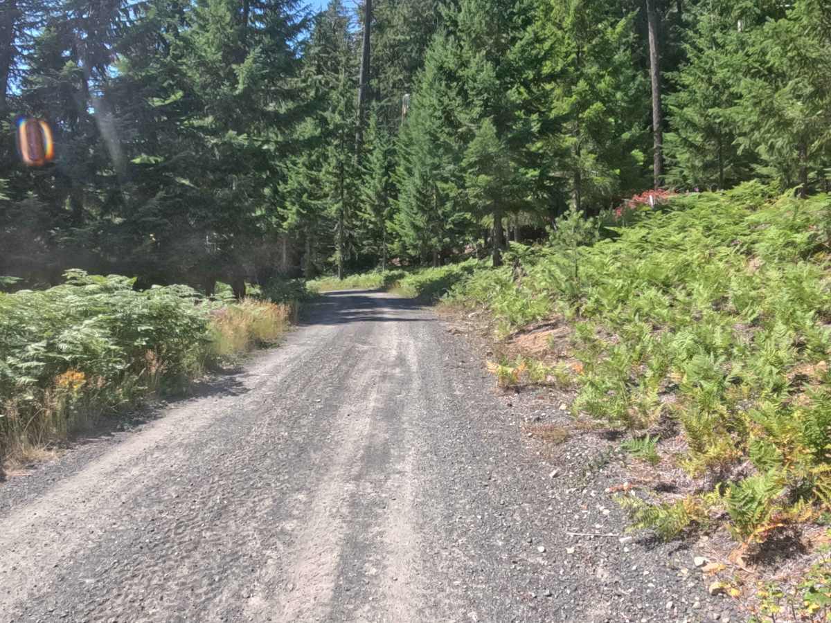
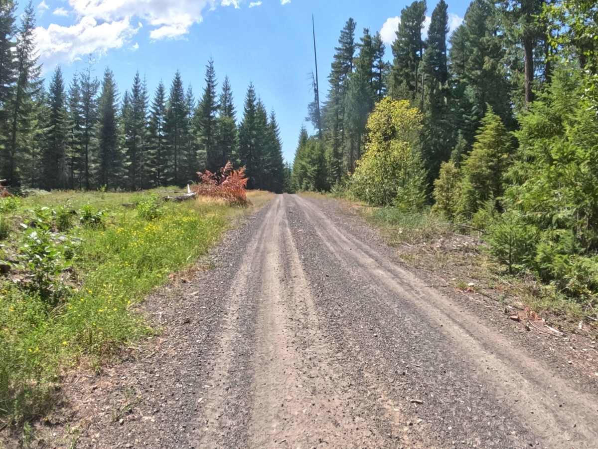
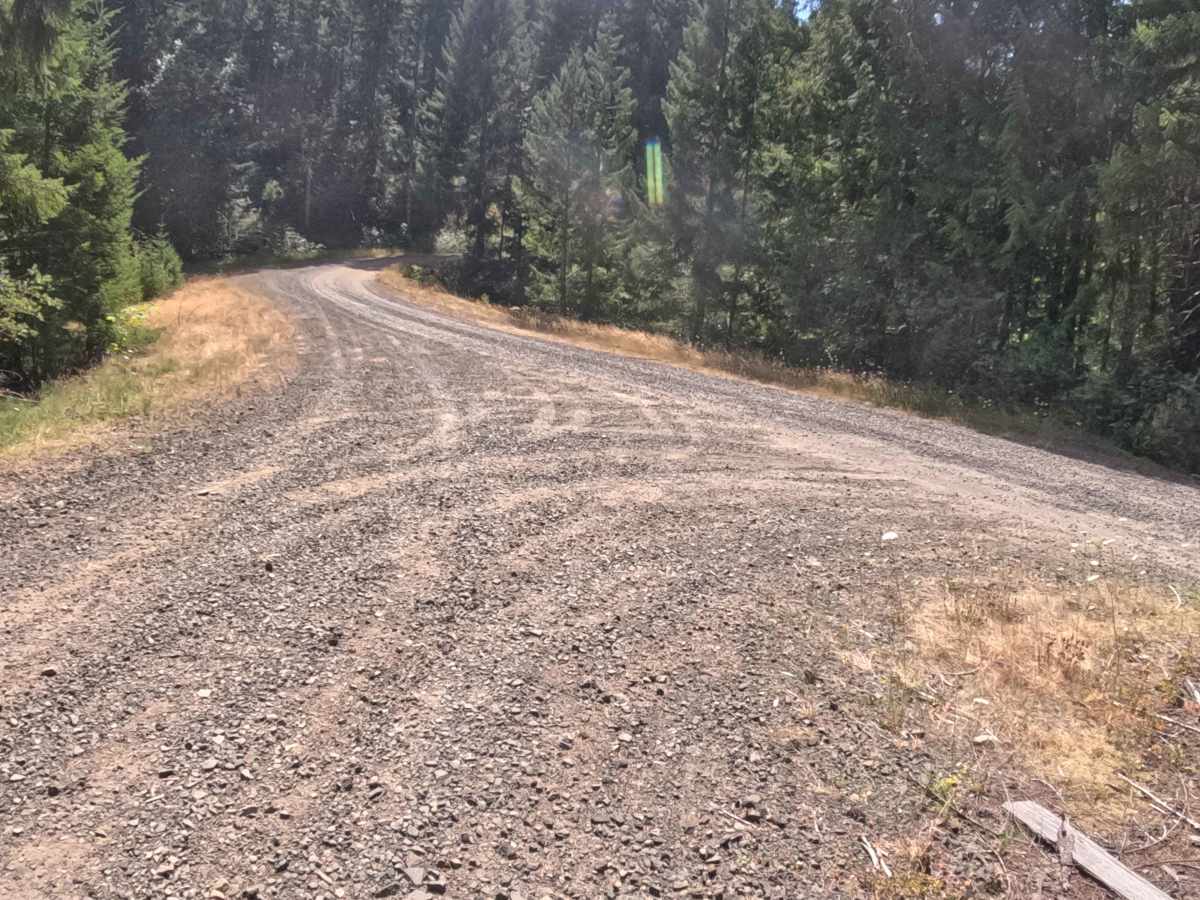
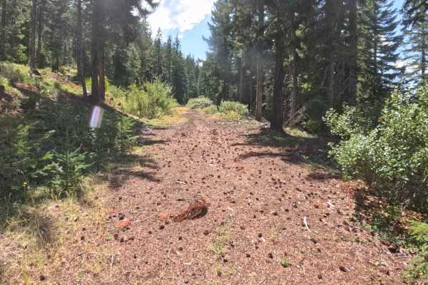
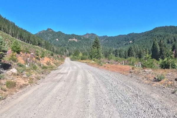
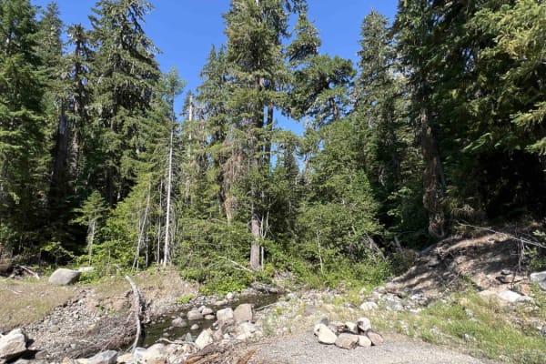
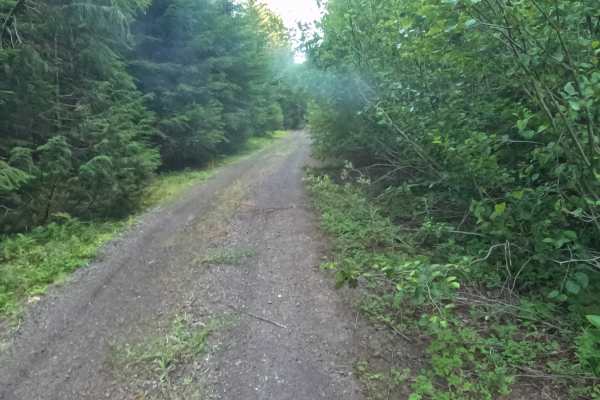
Set within a lush, evergreen forest dominated by tall Douglas firs and western hemlocks in the Willamette National Forest, Tommy Tie Road - FS 2047840 serves as a key mountain connector route. Accessed from Parks Creek Road - FS 2067560 or Sheep Creek Road - FS 20470009, this 5.0-mile thoroughfare provides vital throughput between major Forest Service arteries deeper in the Cascades backcountry. Hikers, mountain bikers, and equestrians frequently travel this route to reach the active trailheads for the South Pyramid Creek Trail and Crescent Mountain Trail. The driving surface consists of a broad, well-defined hard-packed gravel road with patches of loose gravel and small embedded stones, earning an easy Grade 1 difficulty rating. As the road ascends and descends steadily across the ridge, drivers will navigate several tight switchbacks and blind corners tucked against dense timber. Maintaining a controlled speed around sharp turns and staying right along narrow curves ensures a smooth traverse.
Difficulty
Earning an accessible Grade 1 difficulty rating, this 5.0-mile forest connector features a solid, wide gravel base free of technical off-road hazards. High-clearance obstacles, deep ruts, mud holes, and exposed boulders are non-existent under normal dry weather conditions. Primary non-technical considerations include loose surface gravel on sharp bends and restricted sightlines around tight hairpin switchbacks. Drivers should regulate speed on steady climbs and descents, keep to the right side of the road on blind turns, and watch for pedestrians or stock trailers near trailhead parking spots.