Trail Overview
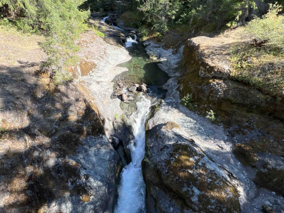
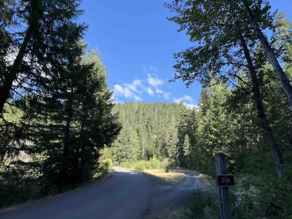
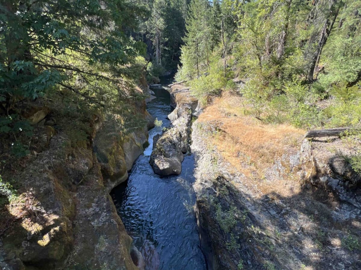
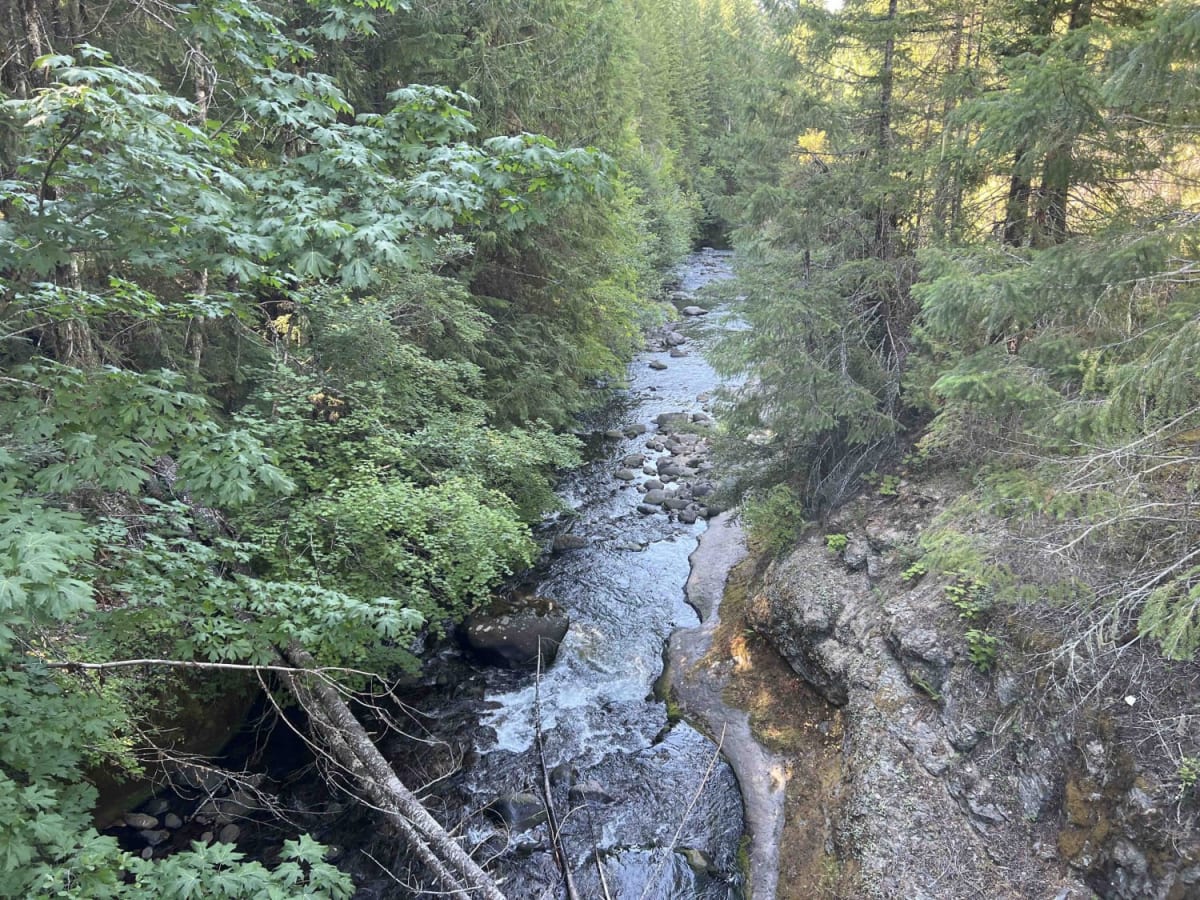
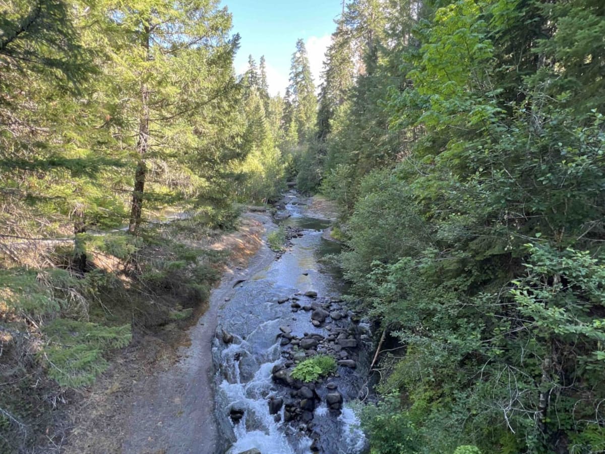
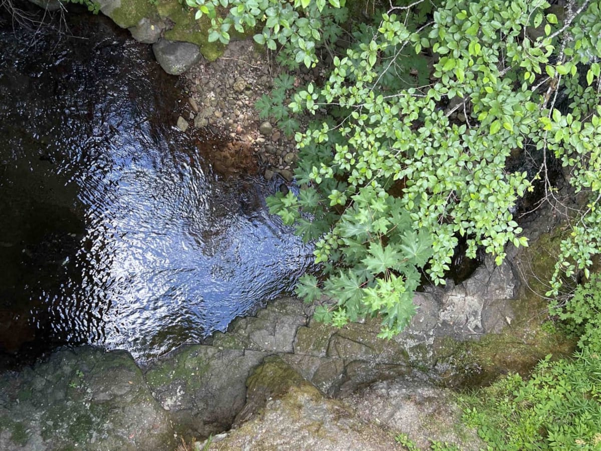
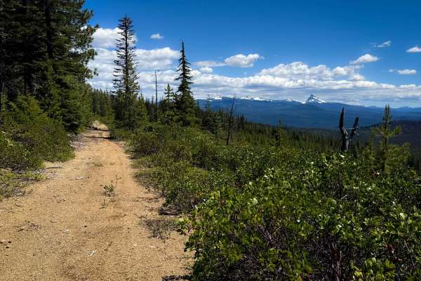
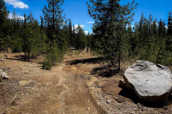
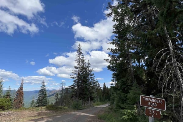
Stanley Creek 2136 is the perfect destination for families seeking a pristine camping experience alongside crystal-clear waters that are ideal for swimming. This location is situated within the vast 1.7-million-acre Willamette National Forest, located just 45 miles south of Oakridge, Oregon. While the camping spots are primitive with no amenities, restrooms, or potable water, the creek water is perfect for consumption after boiling. Visitors are advised to use a 4x4 vehicle due to the steep inclines, rock slides, overhanging trees, and large boulders on the road. Although cell phone service is limited, it is available in some parts of the route. The path continues alongside Stanley Creek through the mountains towards Timpanogas Road, where visitors can enjoy numerous breathtaking waterfalls and different types of wildflowers like the Pacific Trillium, Douglas-fir, western red cedar, pine trees, and ferns, among over 300 other species of flora along this route. Wildlife enthusiasts can spot chipmunks, black-tailed deer, black bears, and blue grouse, among other common species. To access some trailheads and day-use areas, an annual Northwest Forest Pass is required and can be purchased online or at local ranger stations. Visitors should note that the roads may be gated and locked at any time depending on the conditions. Logging operations are ongoing in some parts of the WNF, and signs are posted to indicate where they are taking place. The WNF strongly encourages visitors to pack it in and pack it out and to follow the "tread lightly" principles when it comes to foot and vehicle traffic.
Difficulty
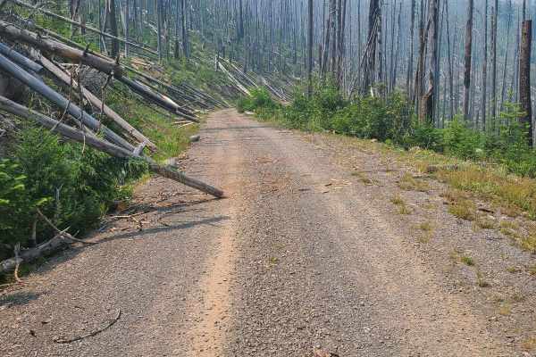
Visitors are advised to use a 4x4 vehicle due to the steep inclines, rock slides, overhanging trees, and large boulders on the road.
History
The Santiam and Cascade National Forests were established in 1911 as distinct entities from the former Cascadia National Forest. However, the Forest Service decided to merge them later in 1933, thereby creating the Willamette National Forest. Here is an interesting read on the history of the area: chrome-extension://efaidnbmnnnibpcajpcglclefindmkaj/https://foresthistory.org/wp-content/uploads/2017/01/HISTORY-OF-THE-WILLAMETTE-NATIONAL-FOREST.pdf