Trail Overview
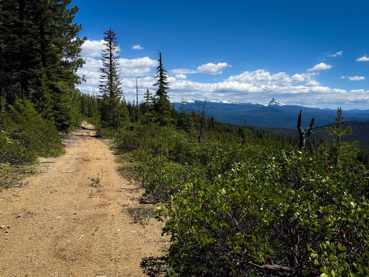
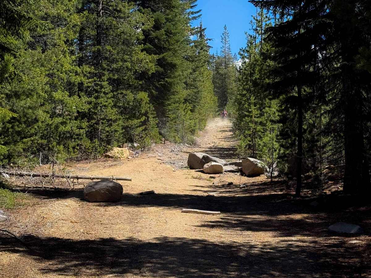
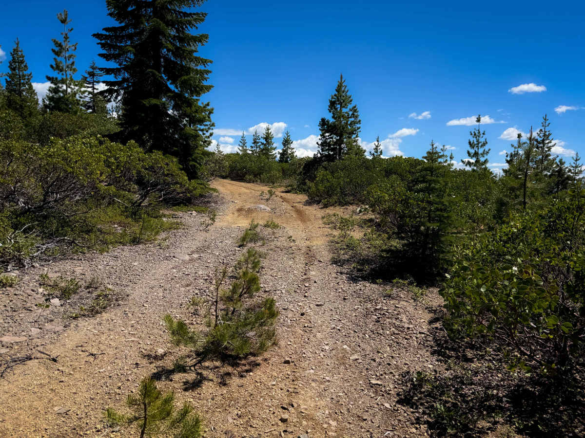
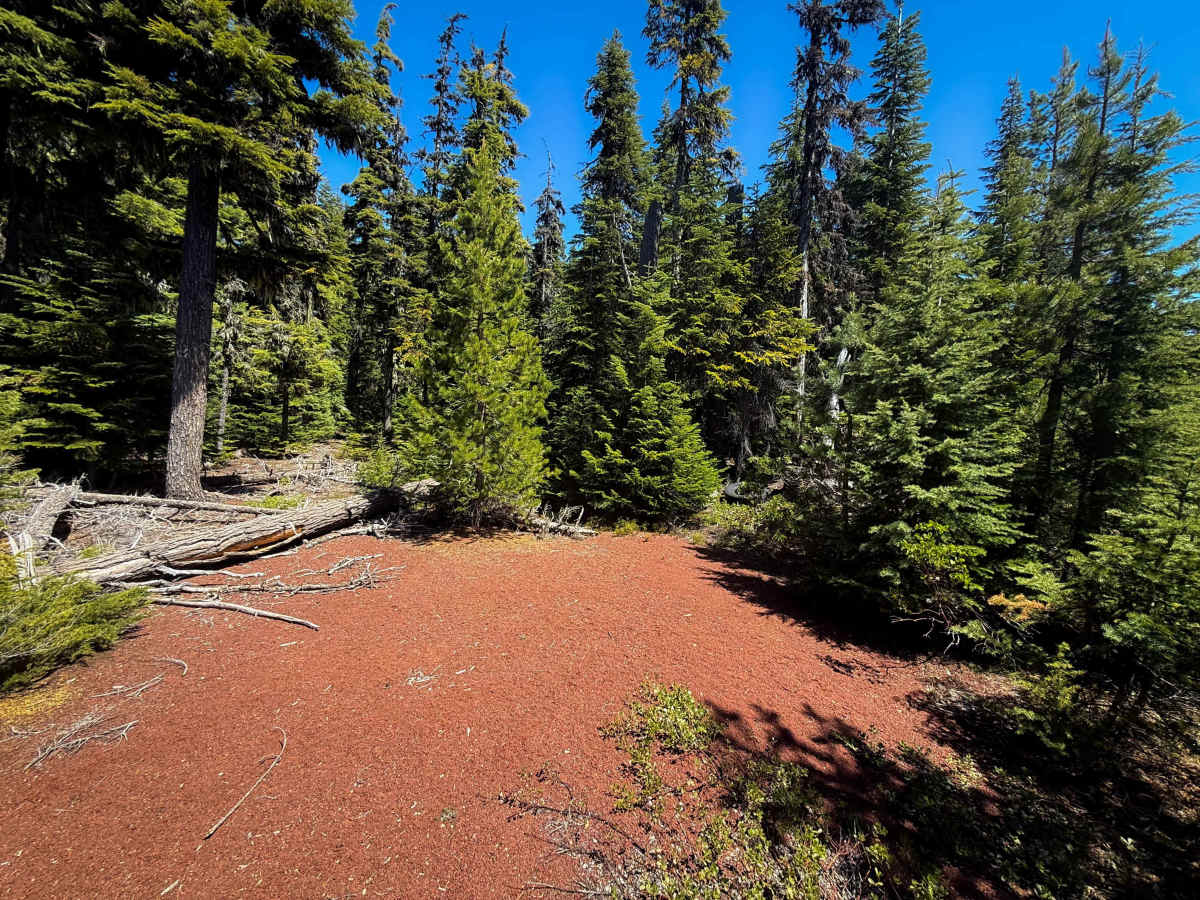
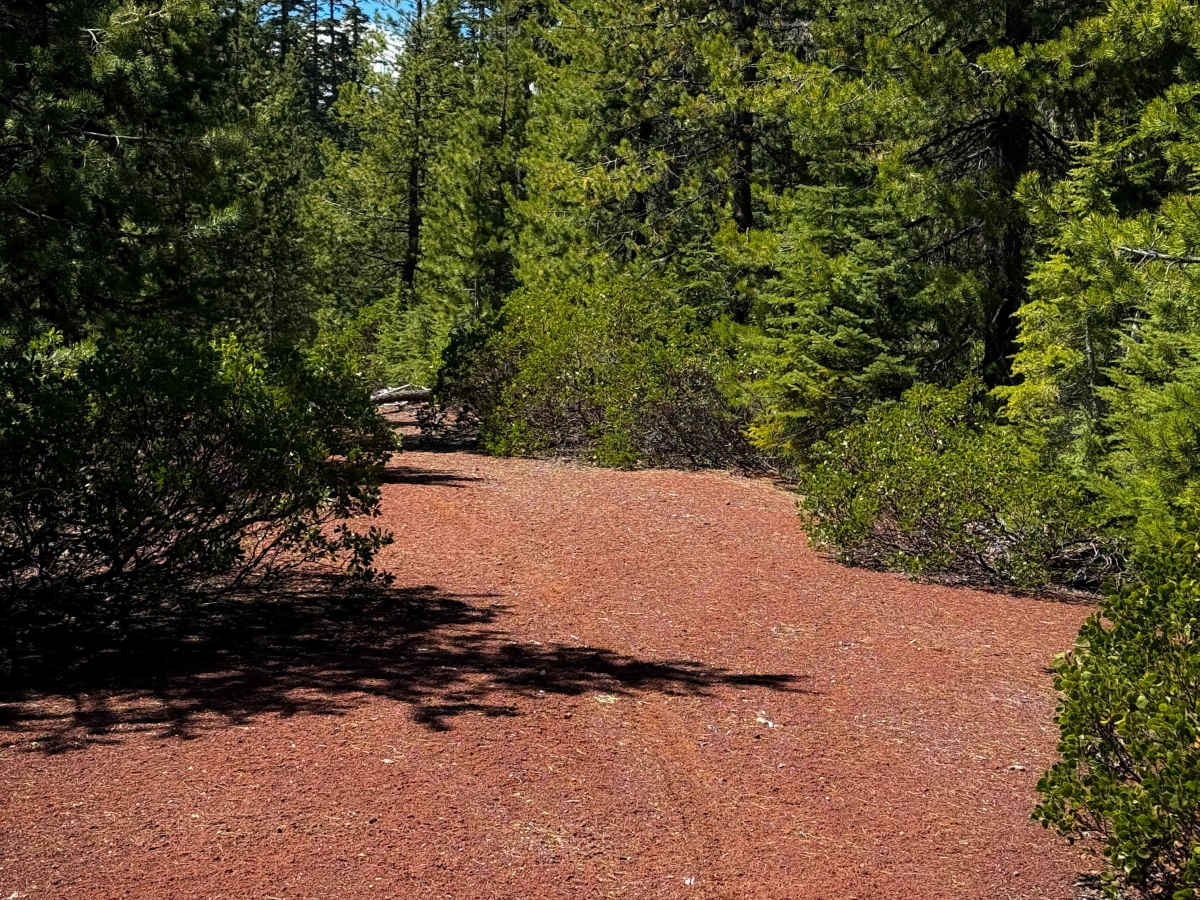
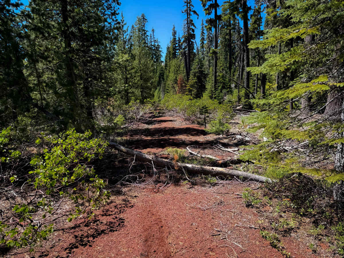
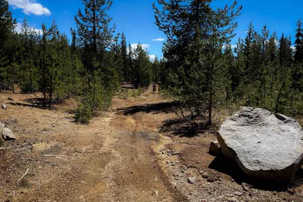
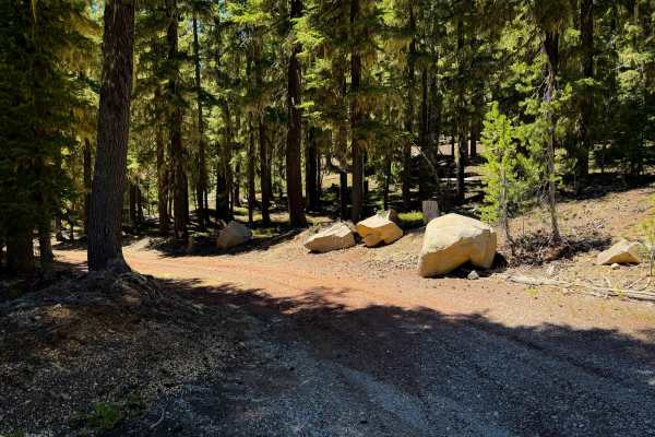
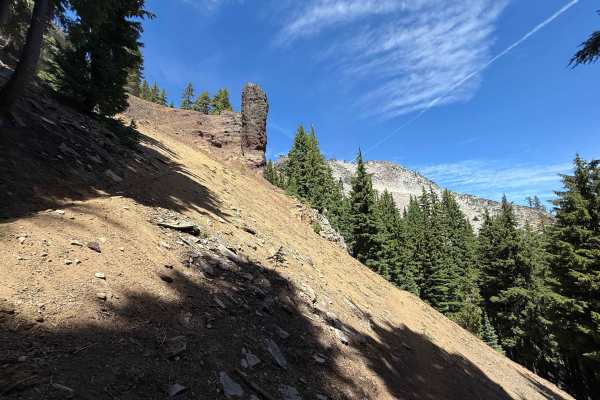
Trail 828 is a short but scenic ATV trail in the Umpqua National Forest with a spectacular view of Mount Thielsen. The route is almost a mile long before it starts to peter out, and must be ridden as an out-and-back, as it does not connect to anything. The west entrance has a few boulders at the beginning to prevent full-width vehicles, but is otherwise unmarked. Most of the route is smooth, hard-packed dirt, but there are a few spots with a light layer of loose rocks. The trail remains very gradual and flat as it rides out onto an old shelf road, and traverses the side of the hill with wide open views to the south. Some parts of the trail are a unique red-colored dirt. Near the east end of the trail, there are more frequent small downed logs over the trail that could easily be ridden over. The trail dead ends in the forest where ATVs can turn around.
Difficulty
This is an easy ATV trail with very little technical elements except for some loose rocks and the potential for fallen timber. There is mild exposure on the old shelf road, and riders should use caution. It is ideal for riders with less experience.