Trail Overview
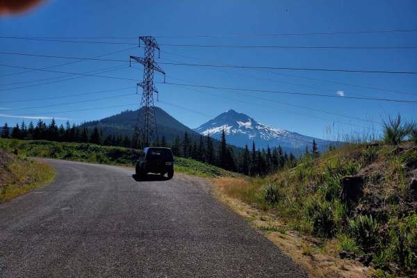
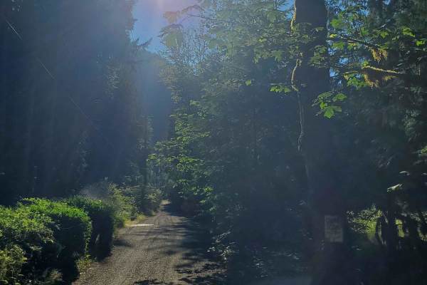
Muddy Fork Road is an easy, 1.3-mile paved route in the Mt. Hood National Forest near Lolo Pass. Connecting Muddy Fork Road with Forest Road 1825, it crosses over Lolo Pass Road and offers gentle elevation changes between 1,920 and 2,125 feet. During the dry summer months, this straightforward drive is suitable for any standard passenger vehicle.
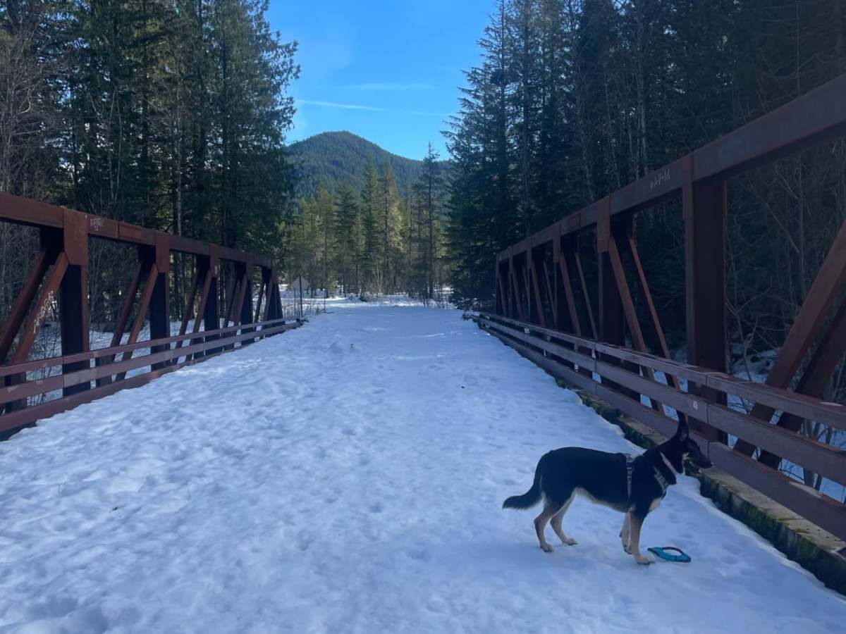
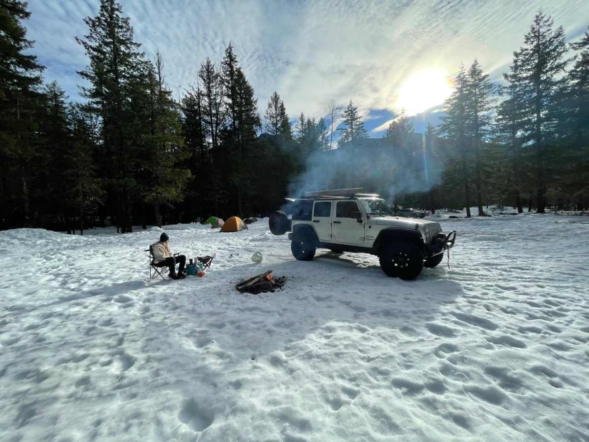
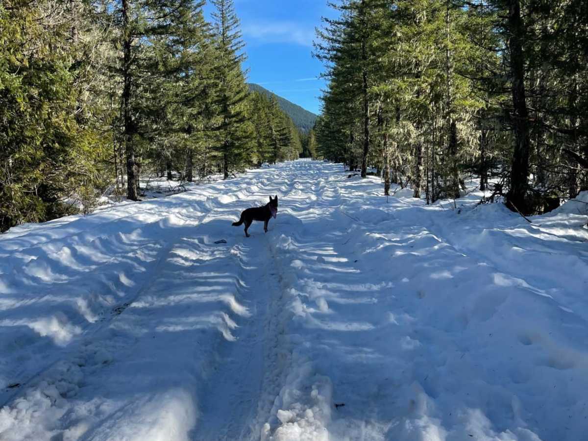
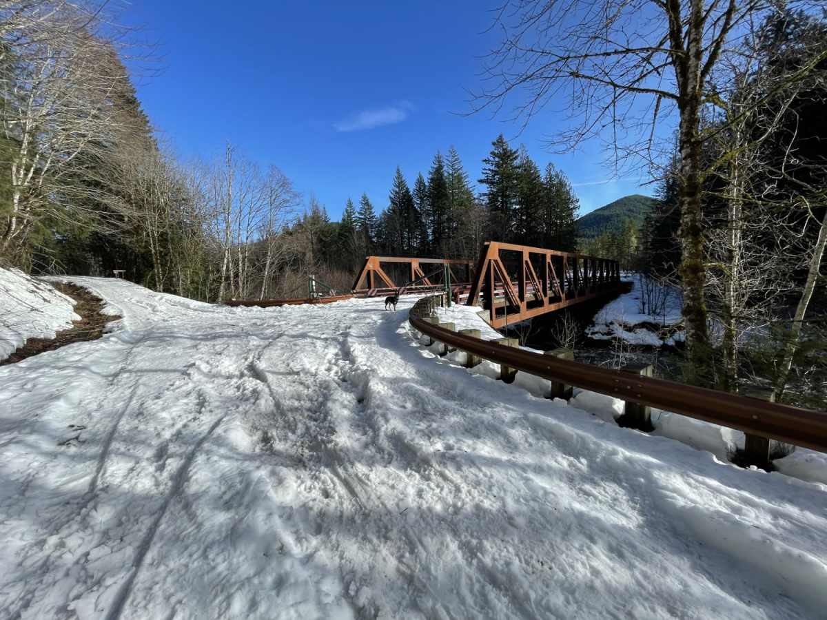
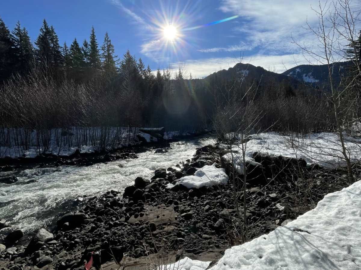
In the winter, heavy snowfall transforms this paved corridor into a challenging, snow-packed route. Driving during these months requires four-wheel drive, high clearance, and capable winter tires. Winter travelers should carry recovery gear, such as straps, shovels, and traction boards, and travel with a partner vehicle.
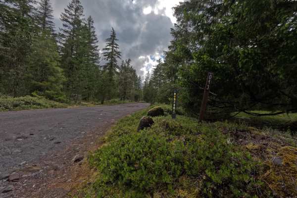
Located near the Sandy River, the route features dense Pacific Northwest forest scenery. It provides a convenient connector to nearby unpaved routes, including Forest Road 1828 and the Horseshoe trail system.
Access Description
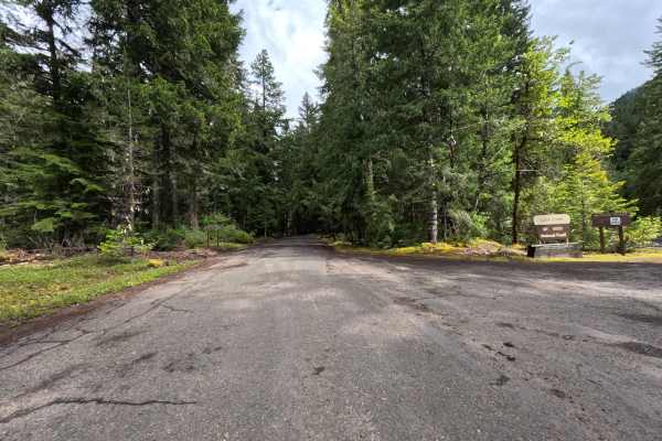
Muddy Fork Road is located within the Mt. Hood National Forest. While driving the forest roads generally does not require a fee, visitors should check with the U.S. Forest Service for seasonal road closures, fire restrictions, or storm-related hazards before heading out.