Trail Overview
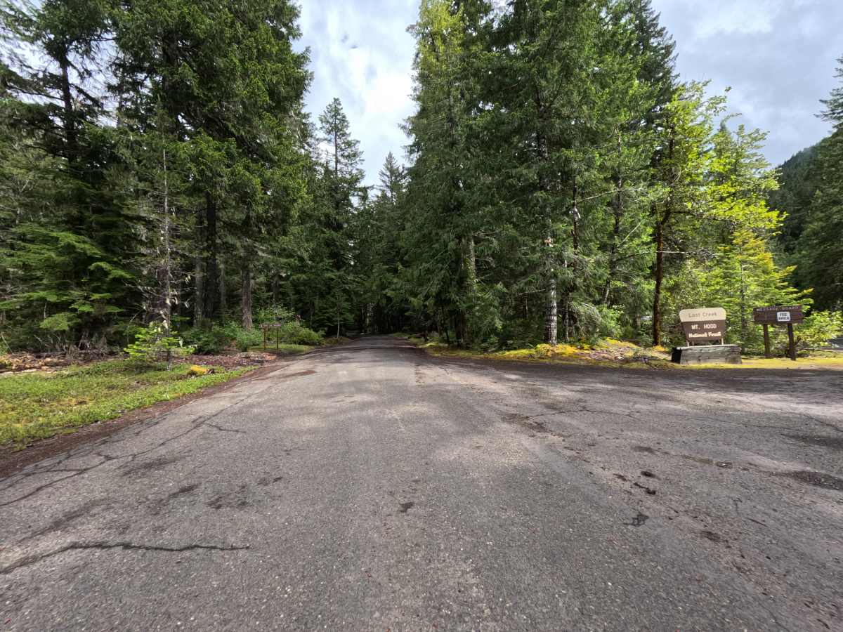
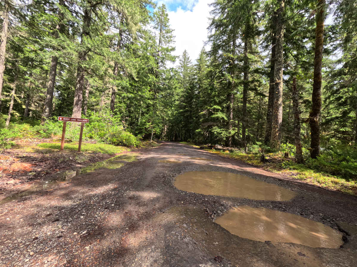
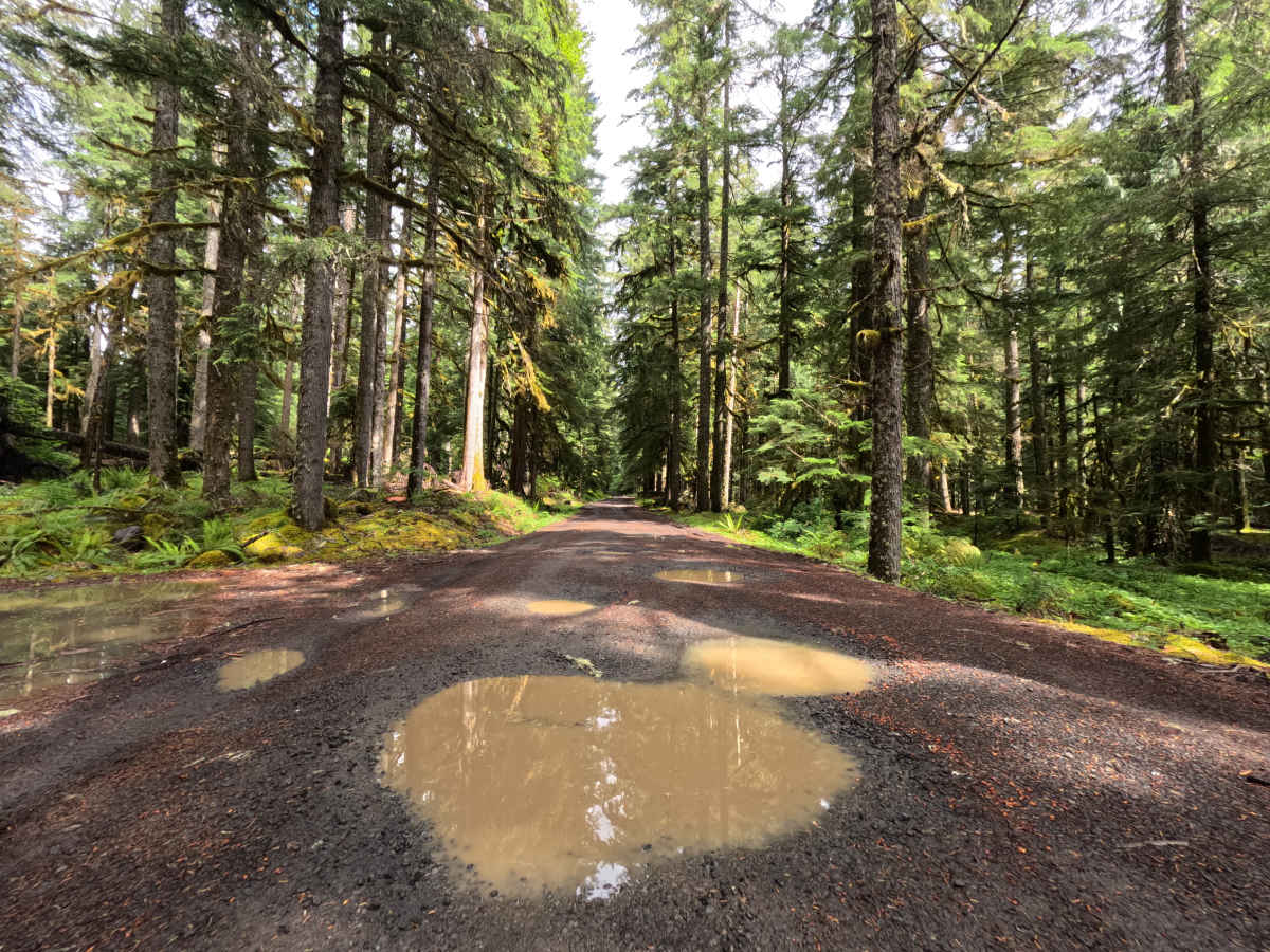
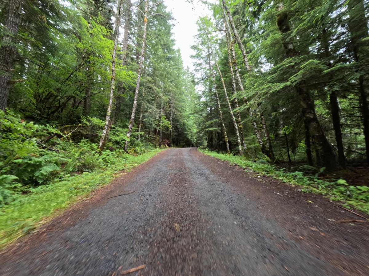
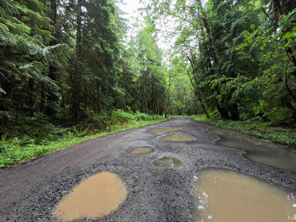
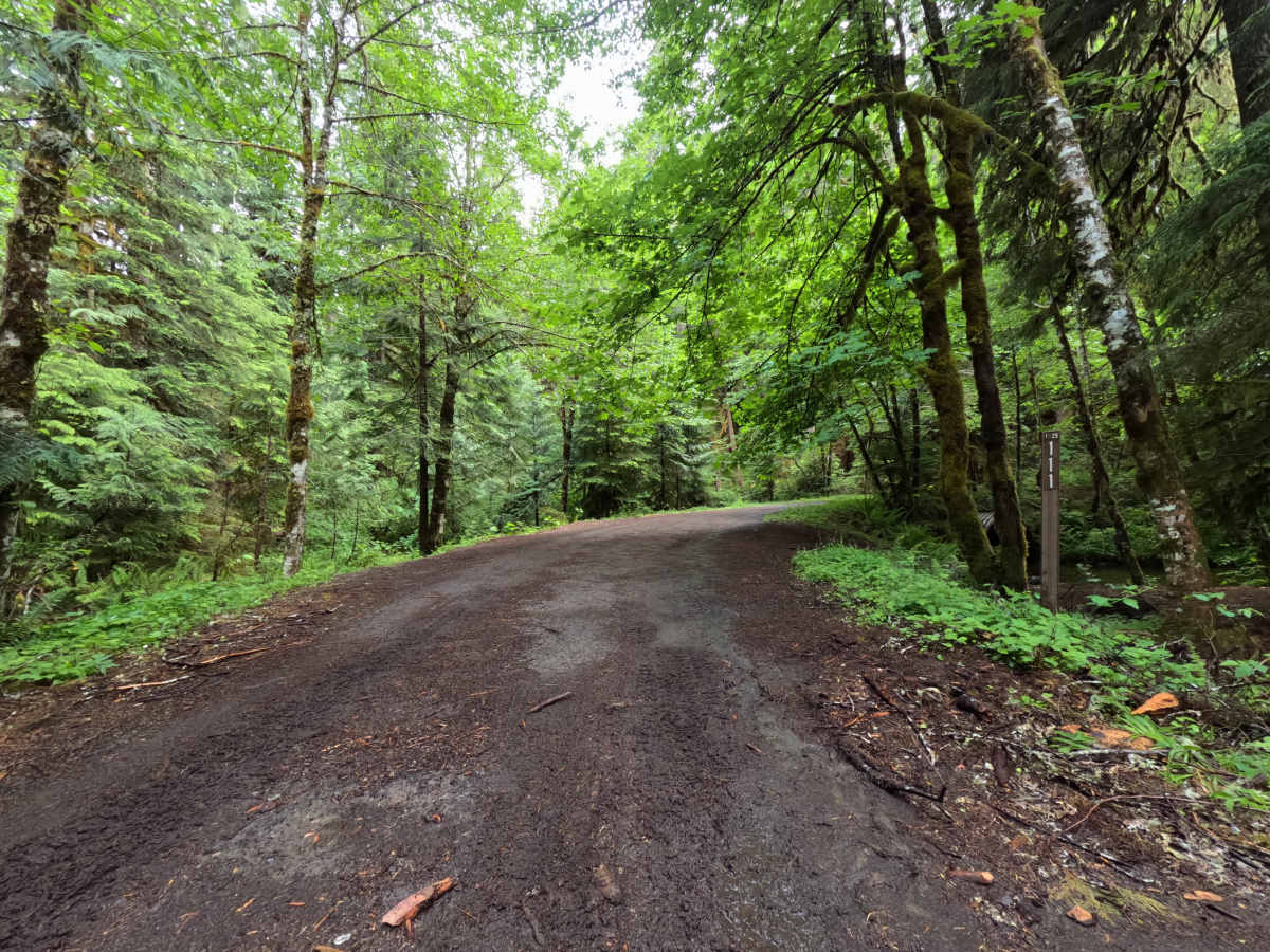
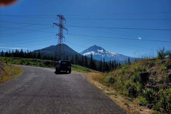
The Burnt Lake Trailhead (FS 1825109) trail is a brief, beautifully shaded 0.9-mile transit located within the lush, verdant Mt. Hood National Forest. The journey officially begins near the Lost Creek Campground; while there isn't a highly visible trail marker right at the boundary, simply staying straight on the main gravel path ensures you are on the correct route. Travelers are immediately enveloped by a spectacular, dense canopy of towering pine trees and vibrant green undergrowth that beautifully characterizes this classic Pacific Northwest landscape. The primary surface consists of packed gravel and dirt, heavily peppered with frequent, remarkably wide potholes that often hold muddy water. At roughly the halfway point, the trail crosses a peaceful creek before introducing a mild 5-10% grade that climbs steadily for about a quarter of a mile. After this short ascent, the route flattens out completely, ultimately culminating at the dedicated Burnt Lake trail parking area, which features a convenient outhouse for visitors. Best enjoyed during the spring, summer, or fall, this quick drive offers a wonderfully immersive forest experience.
Difficulty
Rated Green Circle, Level 2, Burnt Lake Trailhead is easy and accessible for most vehicles, though it pays to drive mindfully. The main challenge is the large potholes across the gravel surface, which fill with water and mud when it is wet. Any standard car or truck can make it, but low-clearance 2WD drivers should take extra care to pick a line through the deeper ruts and potholes and avoid scraping the undercarriage. The grade is a gentle 5 to 10 percent and easy to manage, though wet weather will test the traction of a standard passenger car. Overall, it is a short, manageable, and rewarding drive.

 Offroad