Trail Overview
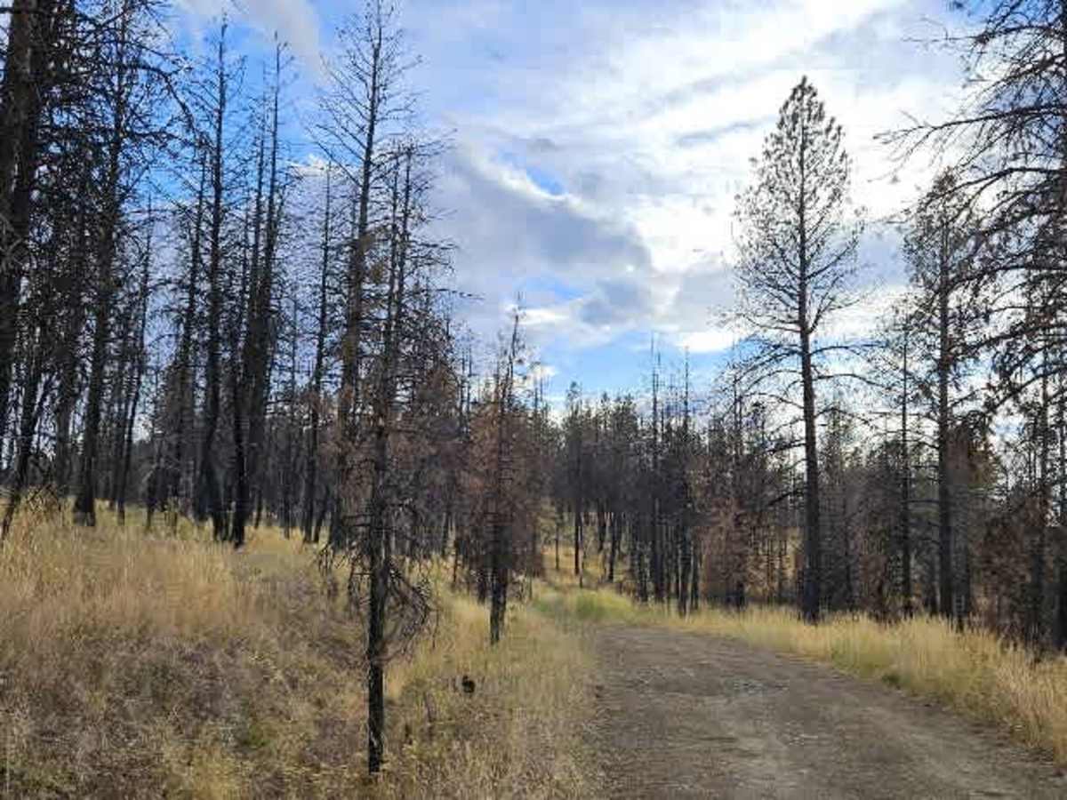
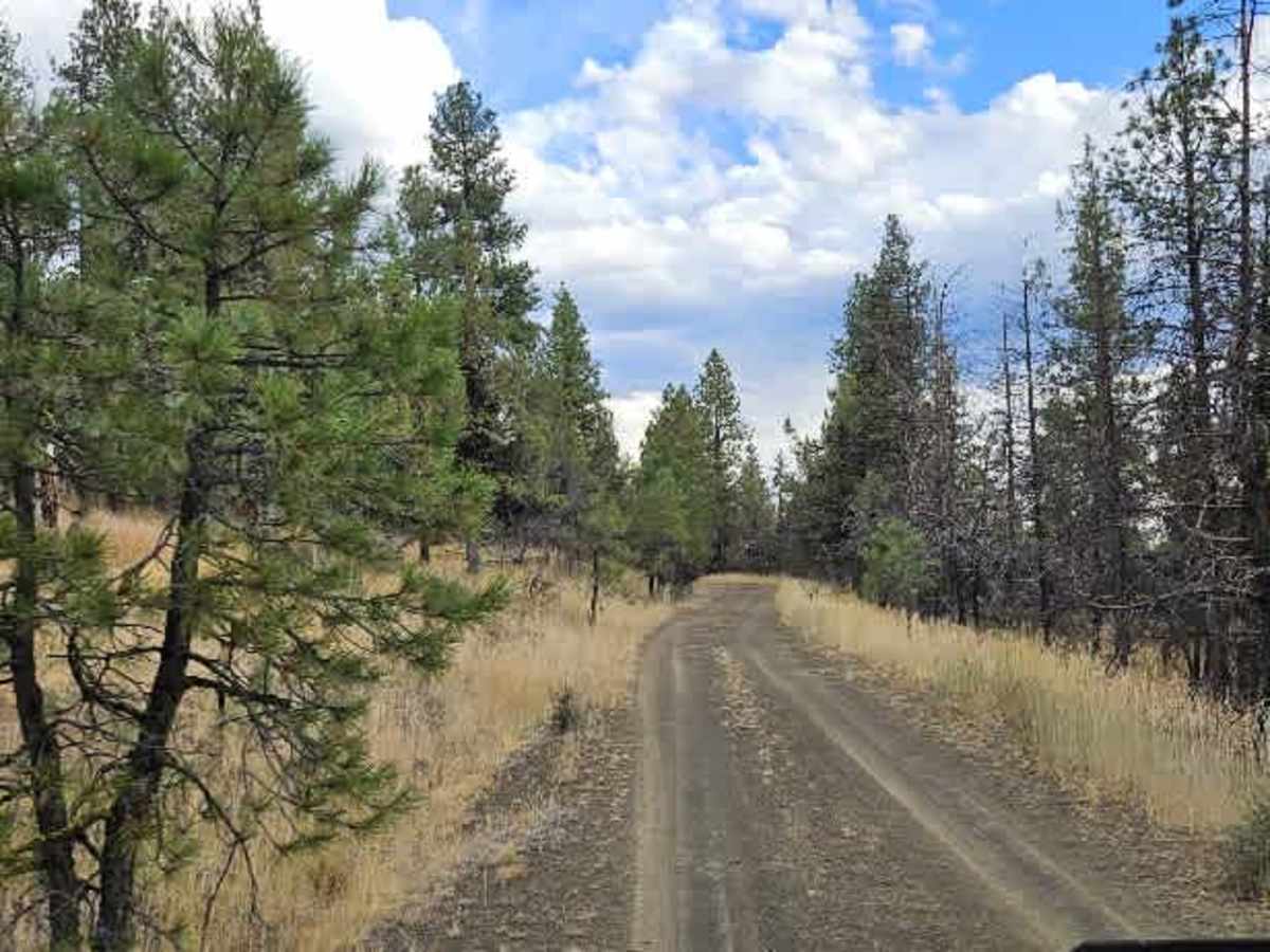
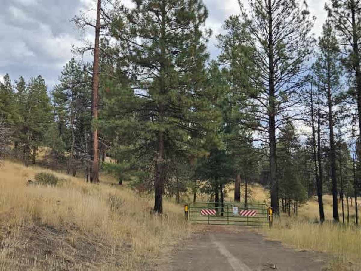
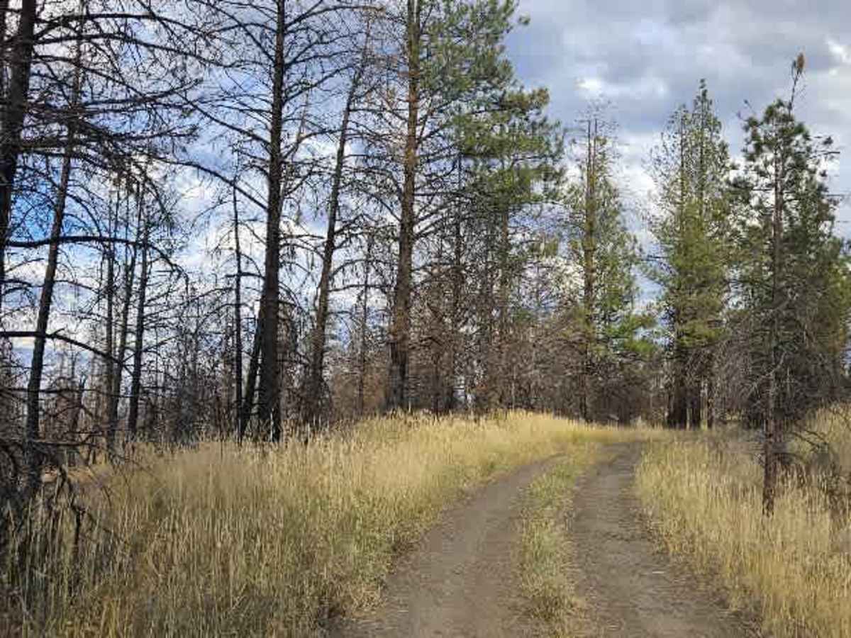
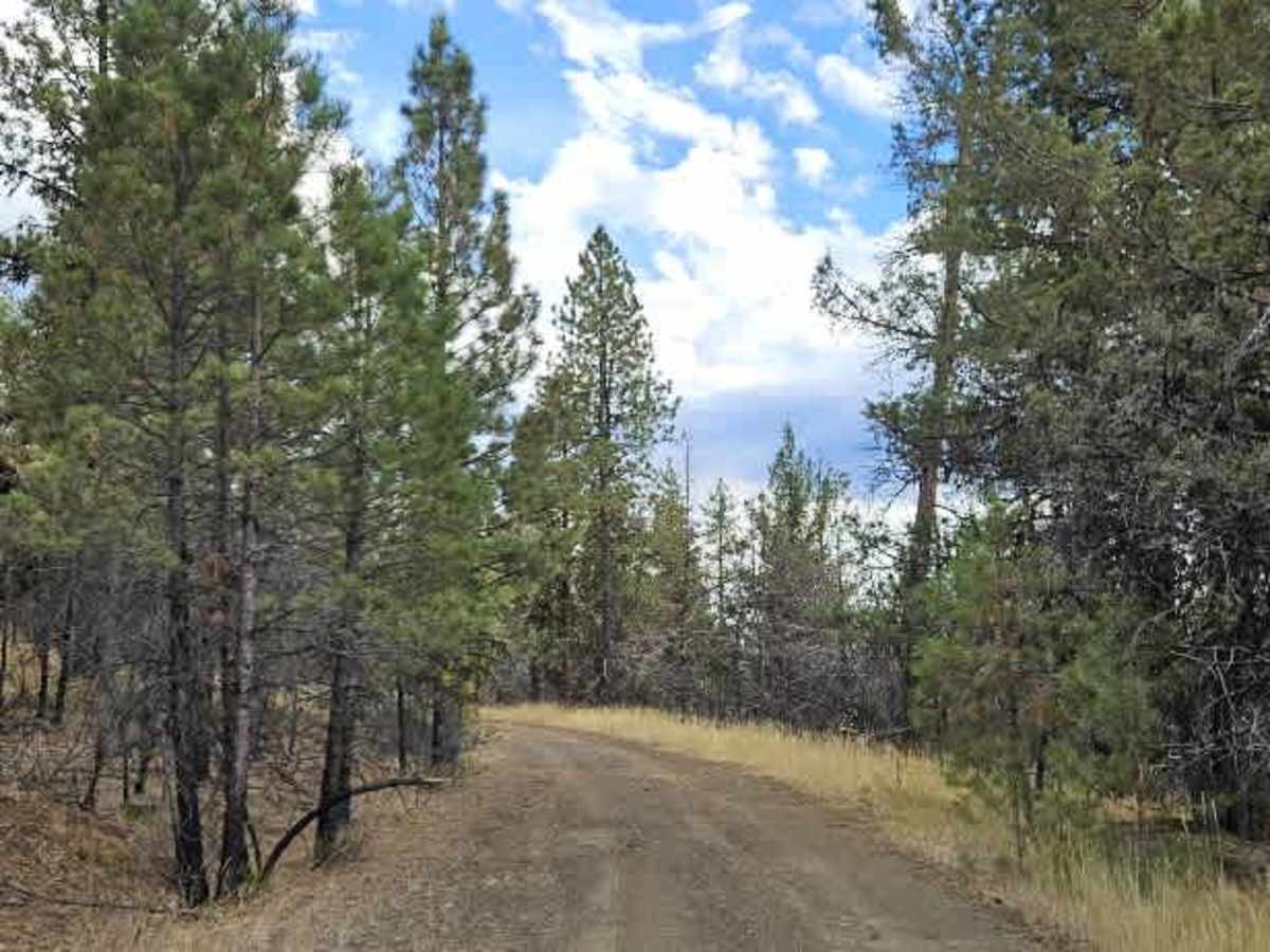
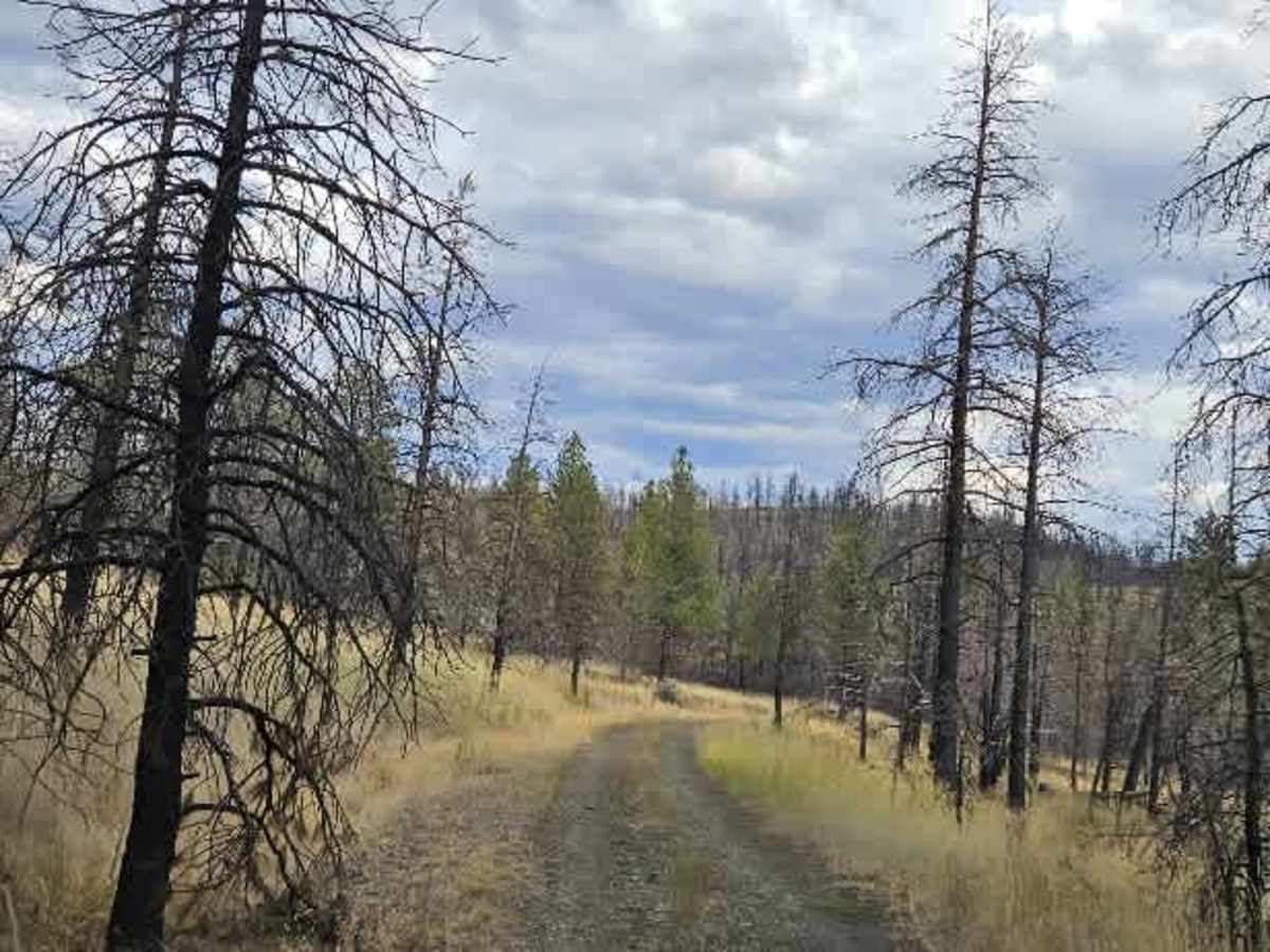
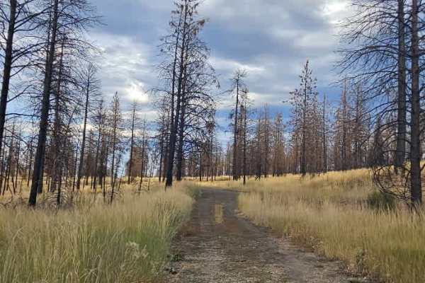
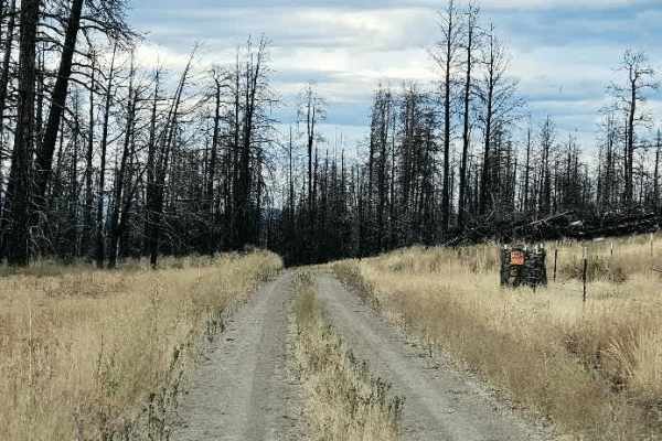
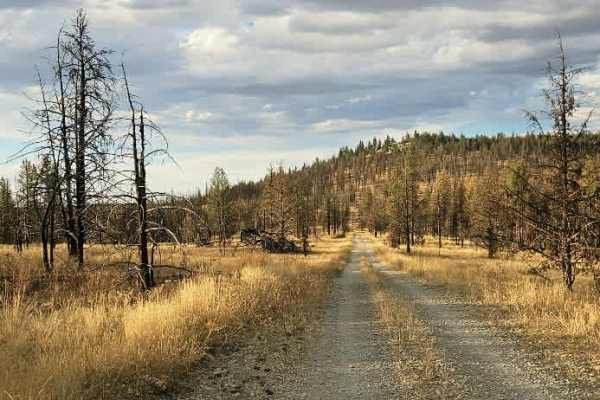
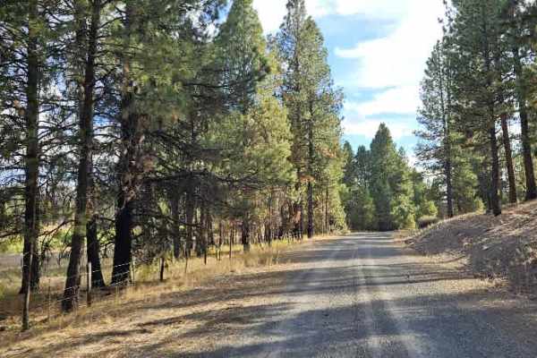
This is a maintained road that starts with a steep climb before continuing into the forest. After a while, the route levels out and drops into a valley. The first 1.3 miles are exceptionally rocky, with enough rough terrain to make for a very bumpy ride, so take it slow through this section. Beyond the rocky portion, the road becomes smoother, transitioning to silty gravel and compacted soil. This section can be quite dusty, with pine needles covering parts of the roadway, but it also has several large potholes that require attention. Slow down and watch your line, as some of the potholes are deep enough to cause a significant jolt. The surrounding forest is relatively open and makes for a beautiful drive. The area appears to be popular with hunters, and there was plenty of evidence of deer and antelope along the route. There is also a small dispersed campsite near the beginning with a fire ring. Because the trail is surrounded by long grass, check current fire restrictions and bans before having any fire. The trail ends at a locked gate that prohibits motorized vehicles from continuing, apparently to protect the area’s wildlife. Do not bypass the gate. ATVs, UTVs, Side-by-Sides, and Dirt Bikes must always have a valid Oregon ATV Operating Permit sticker.