Trail Overview
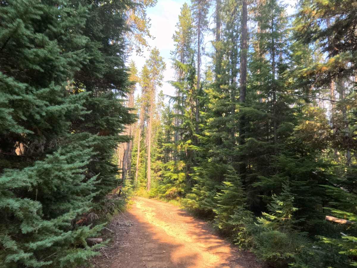
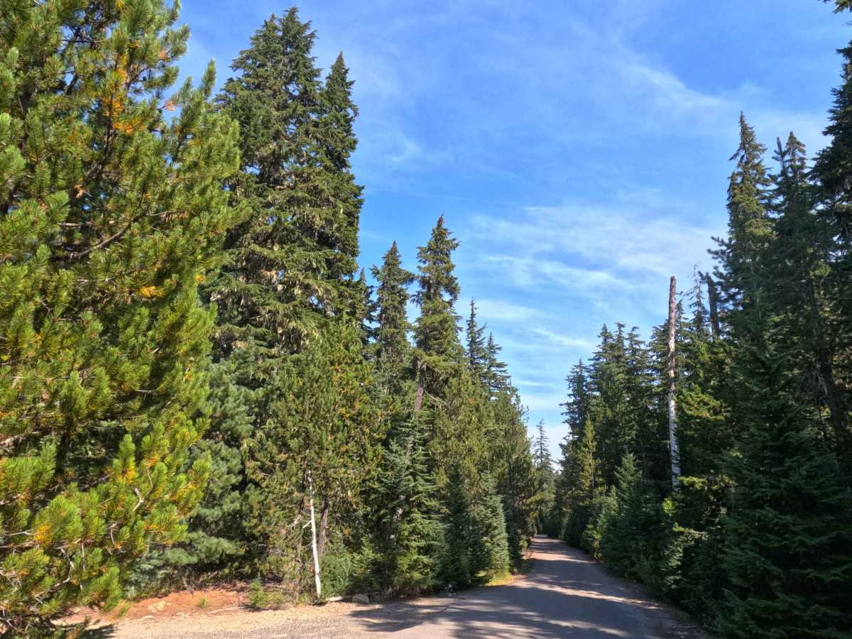
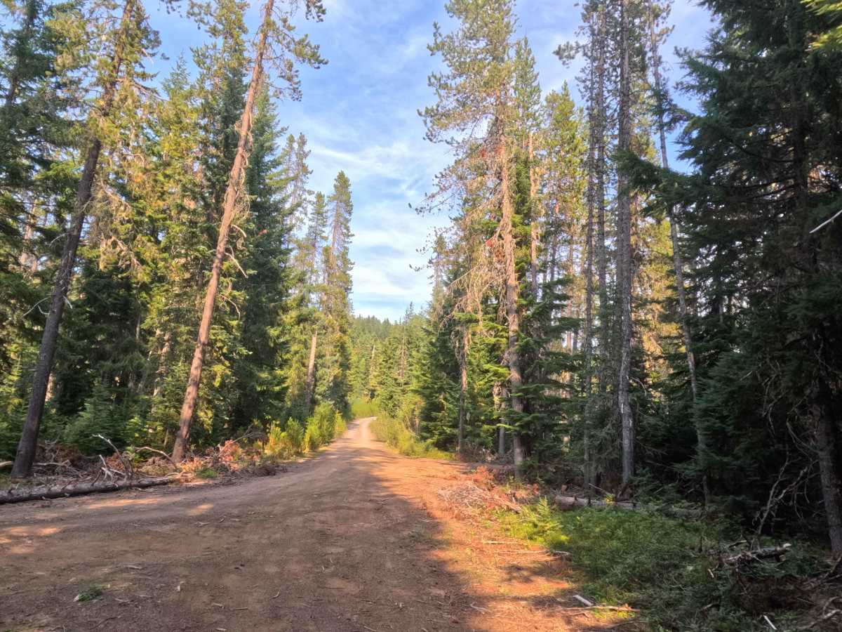
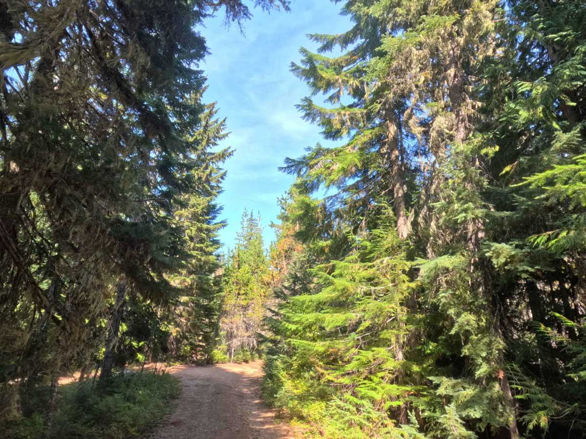
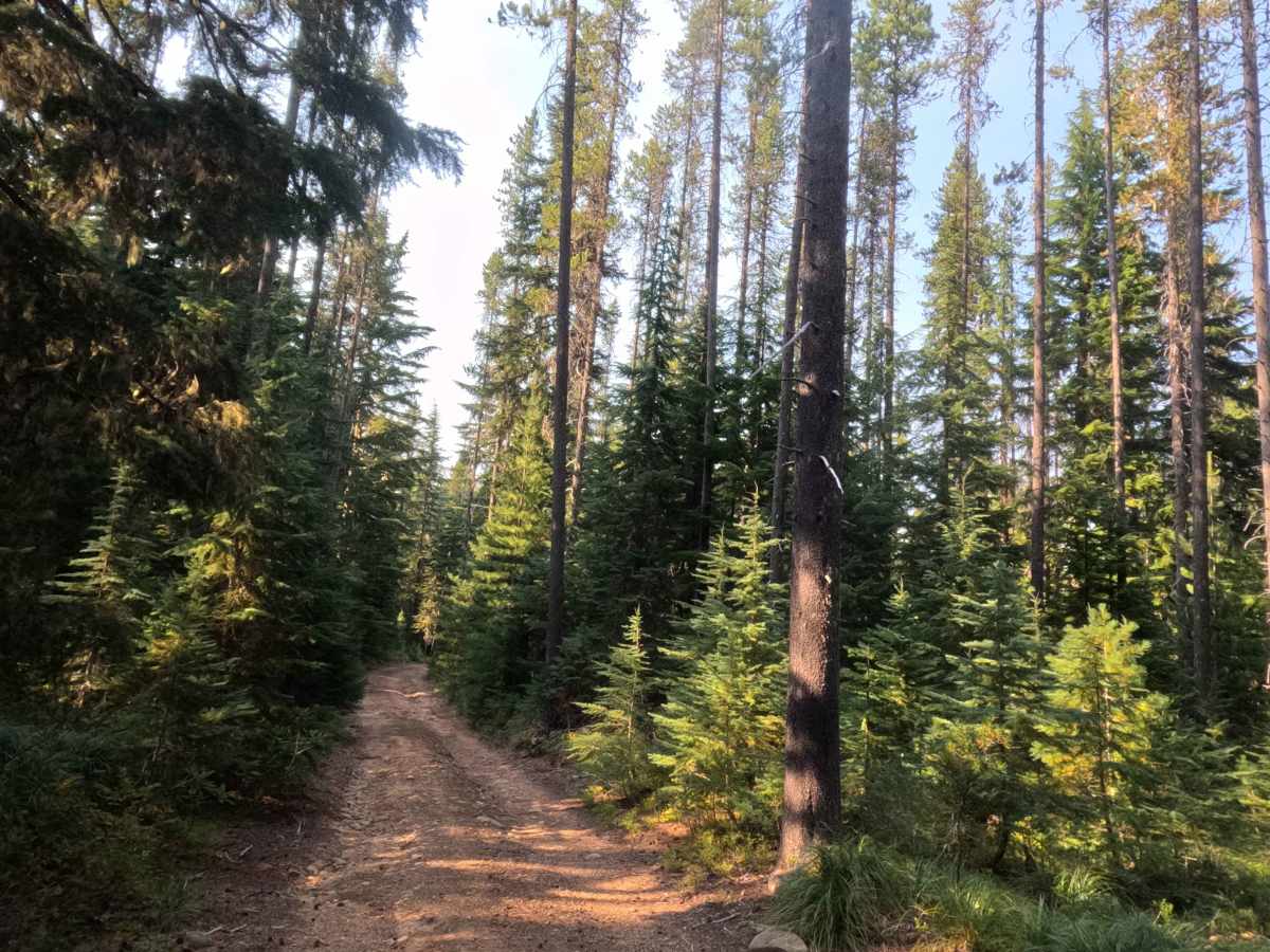
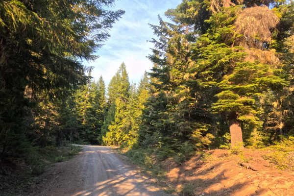
Linking FS 5880 and FS 5800240, FS 5800241 operates as a scenic, single-track through-connection diving into the Frying Pan Lake landscape of the Mt. Hood National Forest. This corridor winds through a thriving, densely wooded evergreen environment characterized by towering conifers and heavy woodland underbrush. Navigating this gravel and dirt route allows outdoor enthusiasts to reach a variety of recreational highlights, including several off-road trailheads, the Jackpot Meadows Trail (#492) crossing near Dry Meadow, and secluded dispersed campsites offering unofficial hiking access to Frying Pan Lake. The path also intersects Cooper Creek; while the rocky creek bed typically remains dry during the late summer months, it frequently transforms into a sloppy mud obstacle during wetter seasons. Rated as a level 2, the road features a rugged, natural-drainage base of dirt and medium-sized rocks.
Difficulty
Holding a level 2 difficulty rating, this connector trail demands mindful wheel placement and a slower pace to navigate successfully. Because the roadbed serves as a natural drainage path during wet weather, drivers will encounter deep erosion ruts and scattered medium-sized rocks that require adequate undercarriage clearance to safely straddle or crawl over. Grade variations are incredibly mild, staying well below a 10% slope throughout the entire route, which helps maintain steady traction over the uneven terrain. Additionally, the tight single-lane corridor experiences moderate brush contact, meaning travelers should anticipate overhanging branches and trailside foliage continuously grazing the sides of their vehicle as they push through the denser pockets of the forest.


 Offroad