Trail Overview
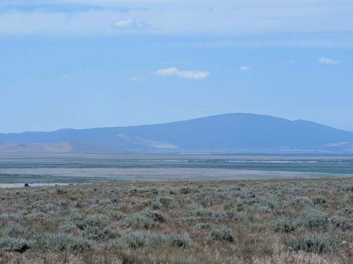
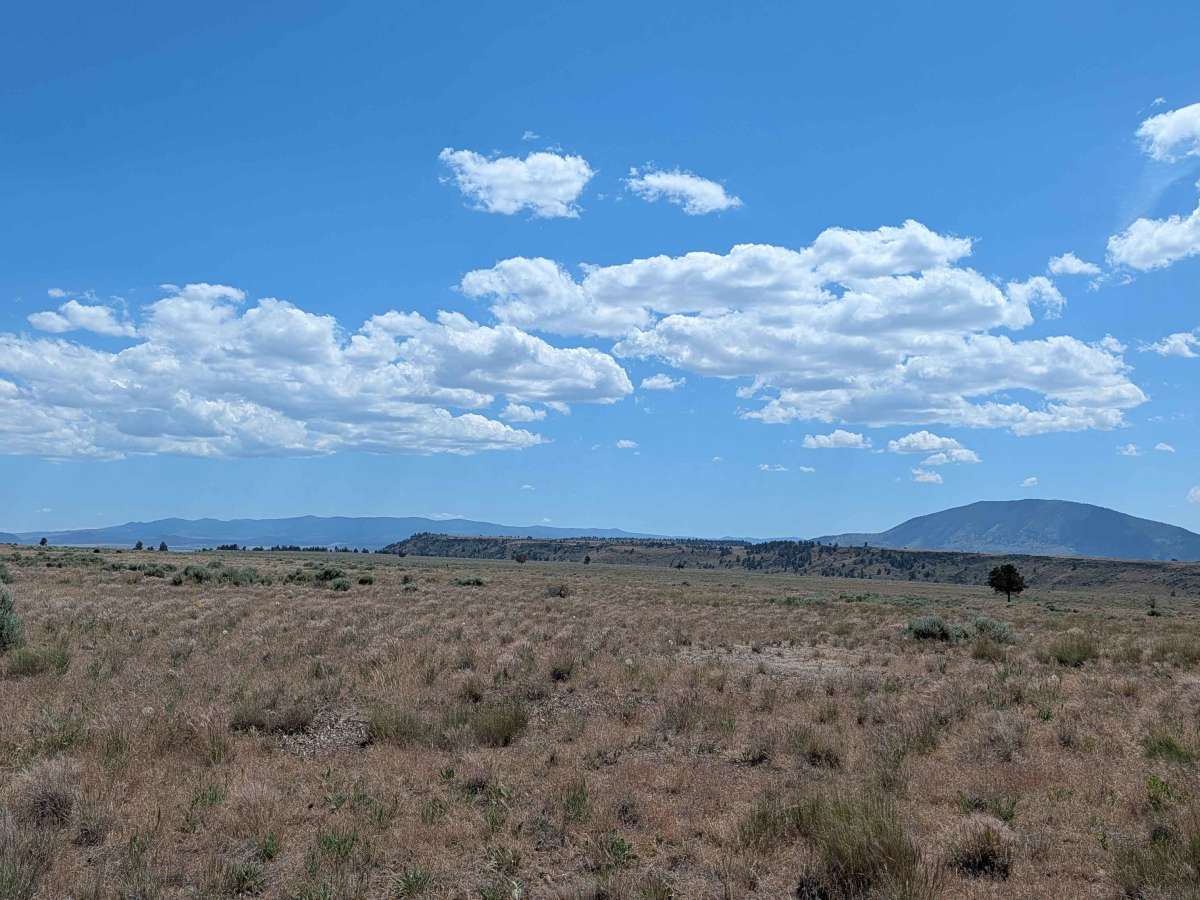
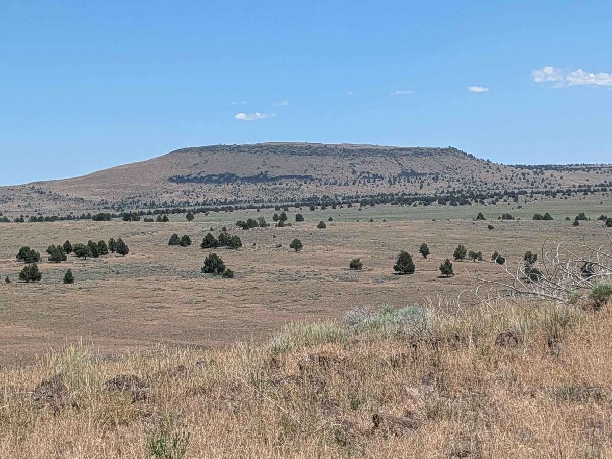
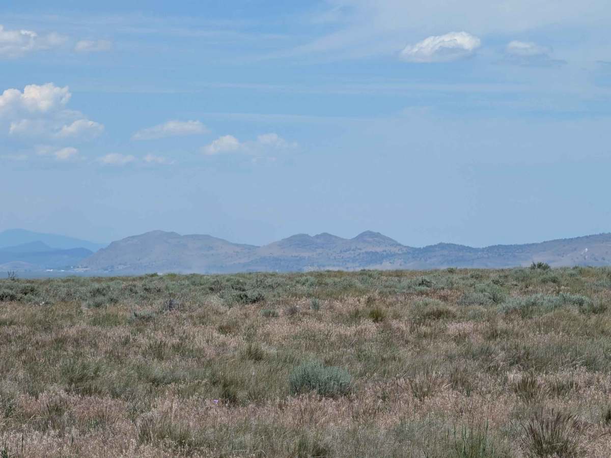
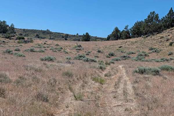
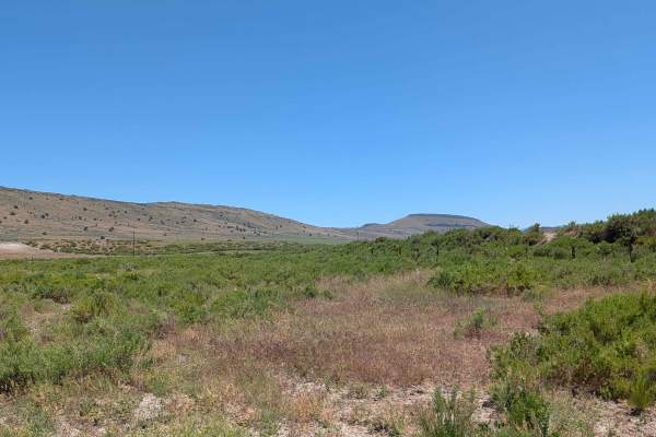
This 3.5-mile out-and-back route is a hidden gem that leads travelers up a ridge-line and into an expansive, high-altitude meadow. Reaching the summit rewards you with a spectacular 360-degree vantage point, offering panoramic views of the entire surrounding mountain range, with the prominent peak of Mount Shasta standing as a centerpiece on the horizon. The landscape is defined by its open, airy feel, consisting of short grasses, low-lying bushes, and very sparse trees that allow for uninterrupted sight lines. Upon reaching the plateau at the top of the ridge-line, you will find numerous excellent opportunities for dispersed camping, making this a premier destination for those seeking solitude and high-altitude vistas. Keep a close eye out for local wildlife, including deer, coyotes, and various species of hawks circling the thermals above the plateau.
Difficulty
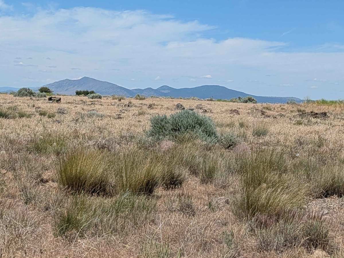
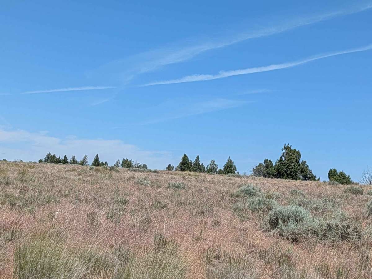
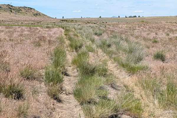
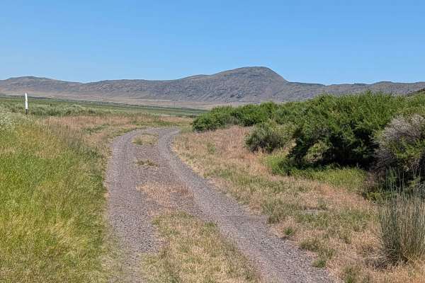
While the trail carries a rating of 2, it presents a distinct challenge in terms of route-finding, as it is seldom traveled and often difficult to follow. The surface is composed of hard-packed dirt and sand mixed with scattered small rocks. Navigating the median requires caution, as it is heavily covered in short grass and brush that can mask the path. Because the route is not well-worn, high clearance is necessary to avoid high-centering on the uneven, unmaintained terrain. A 4x4 vehicle is highly recommended to ensure you can maintain traction on the steeper pitches of the ridge-line, especially if the sandy sections have been loosened by dry weather or high winds.

 Offroad