Trail Overview
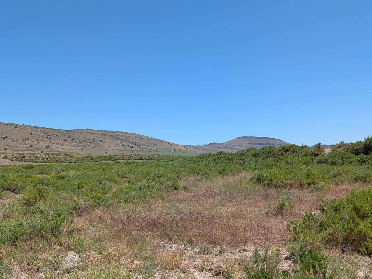
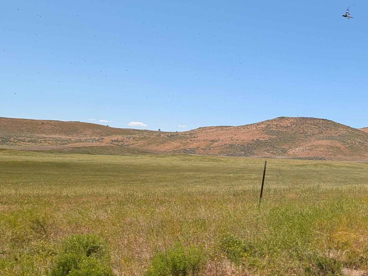
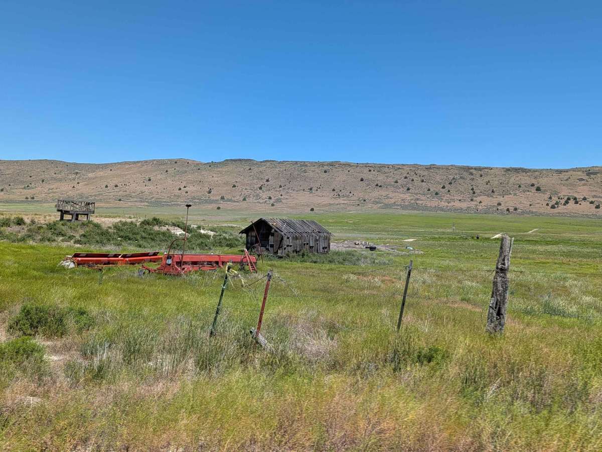
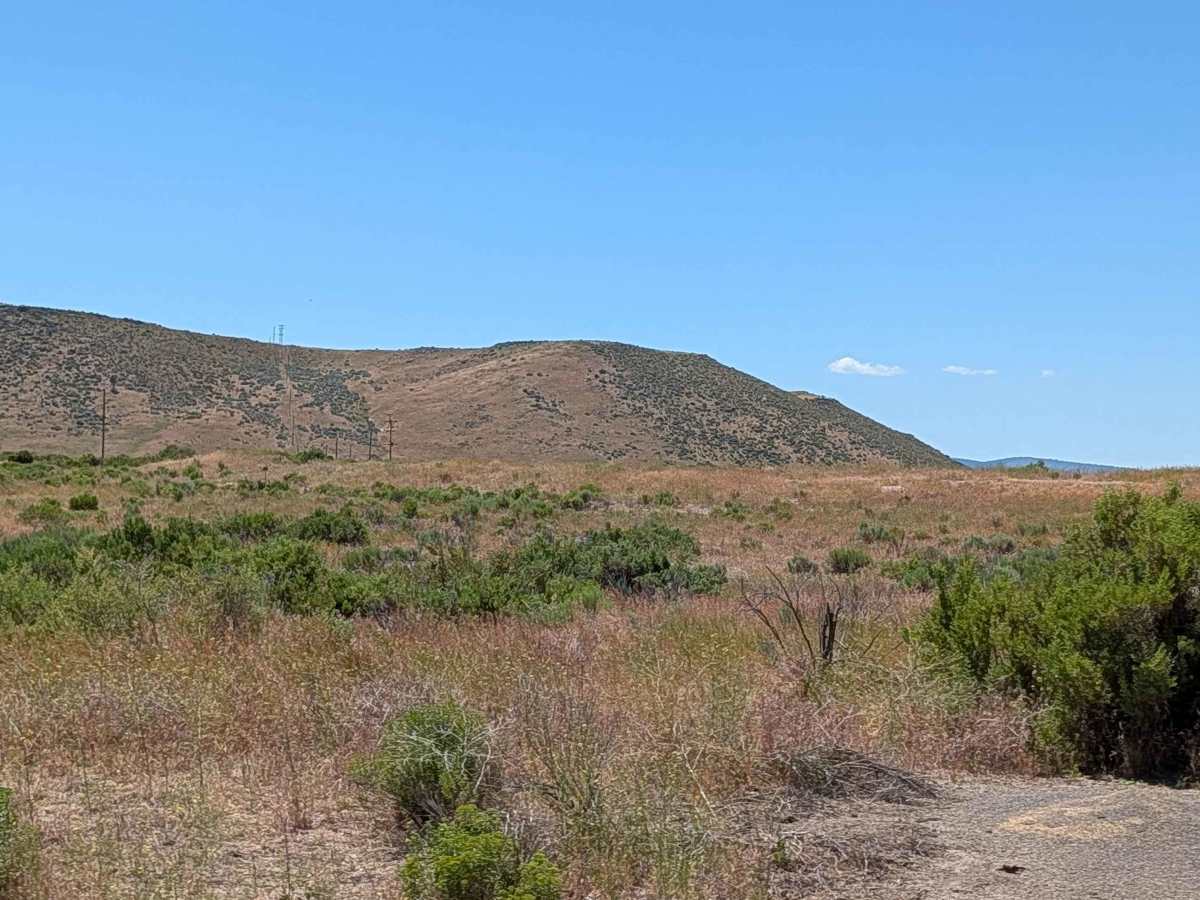
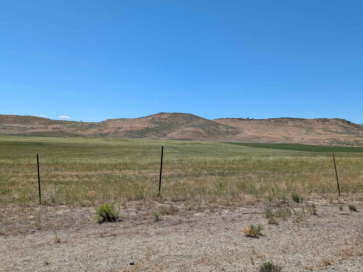
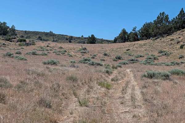
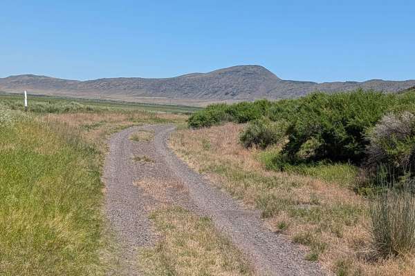
This route begins as a divergence from the Lower Klamath Road, serving as an entry point into a distinctive landscape characterized by expansive, grassy meadows and rolling topography. The terrain is notably influenced by ancient volcanic activity, featuring gradual hills formed from weathered lava flows that dominate the horizon. As you travel deeper into the area, the scenery maintains an open, pastoral quality that highlights the intersection of agricultural land and the rugged high-desert geology of the region. The trail offers a quiet, contemplative journey through a unique environment, providing a steady look at the natural transition between verdant fields and volcanic formations.
Difficulty
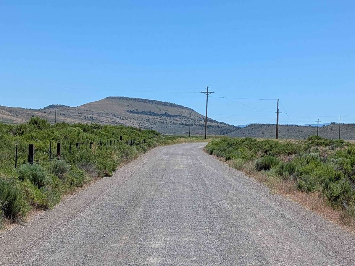
This route is classified as an easy, entry-level trail with no significant technical obstacles. Drivers will not encounter ledges, deep sand, or steep, unmanageable grades that require specialized vehicle equipment. The path is straightforward and accommodates most standard vehicles, though travelers must remain vigilant regarding the trail’s boundary. The primary challenge is not terrain-based but rather situational, as the route requires navigating through active private farmland. Maintaining discipline to stay strictly on the designated path is essential to ensure the trail remains accessible for future visitors and to respect the land rights of local property owners.