Trail Overview
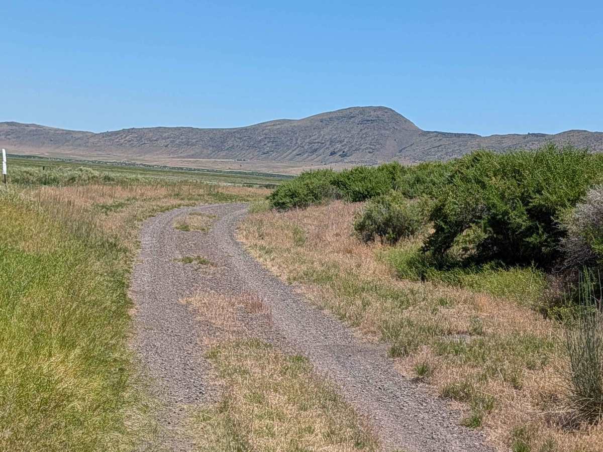
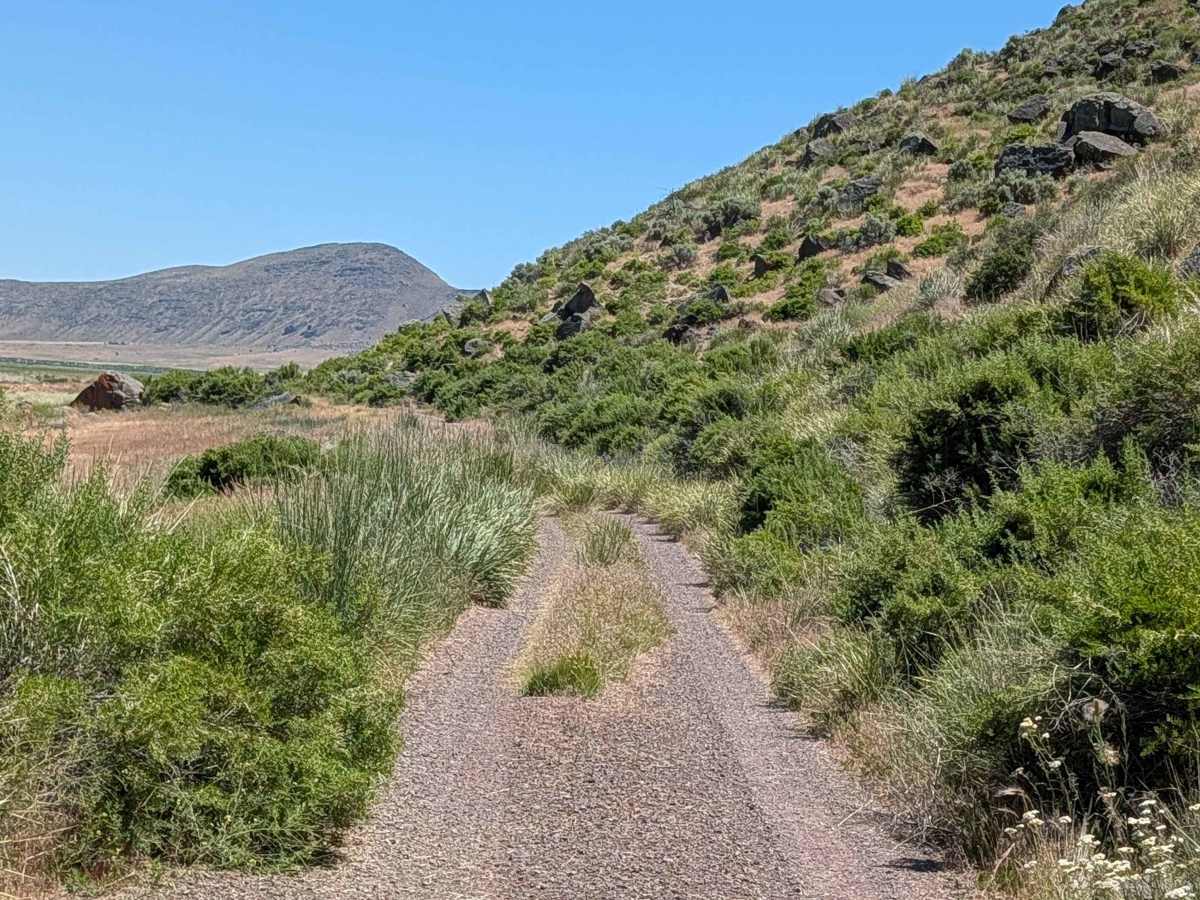
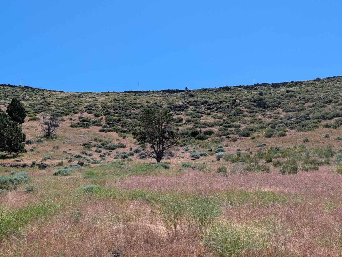
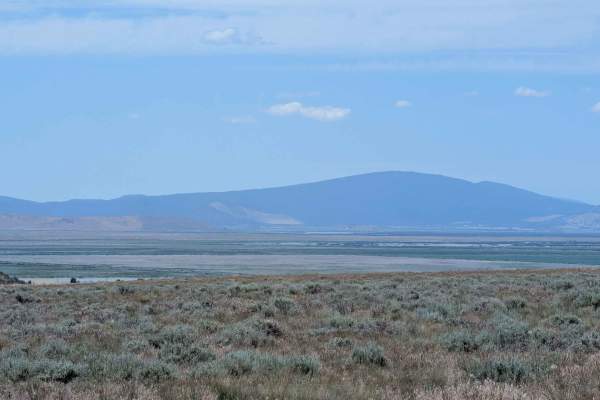
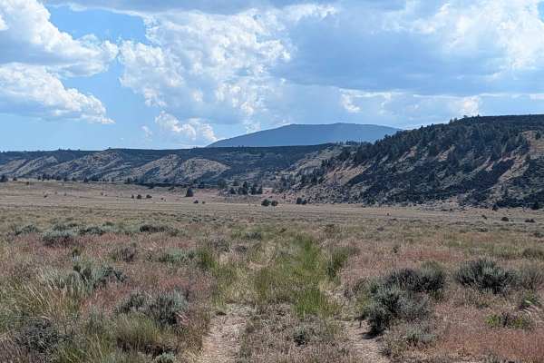
This exceptionally scenic route winds along a narrow shelf road situated at the base of a prominent lava bed ridge, offering expansive, panoramic views that define the character of the region. As you navigate the path, you are treated to sweeping overlooks of the Lower Klamath National Wildlife Refuge, a landscape that shifts beautifully with the seasons. Looking toward the horizon, the near distance is punctuated by the silhouettes of various Oregon mountains, creating a stunning backdrop that remains visible for much of the drive. The route provides a quiet, elevated vantage point, making it an ideal choice for those who enjoy combining technical driving with immersive landscape photography and wildlife observation.
Difficulty
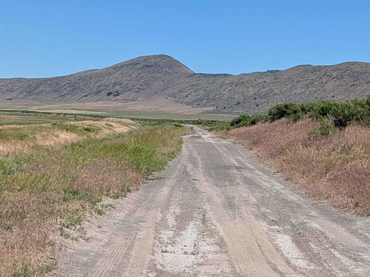
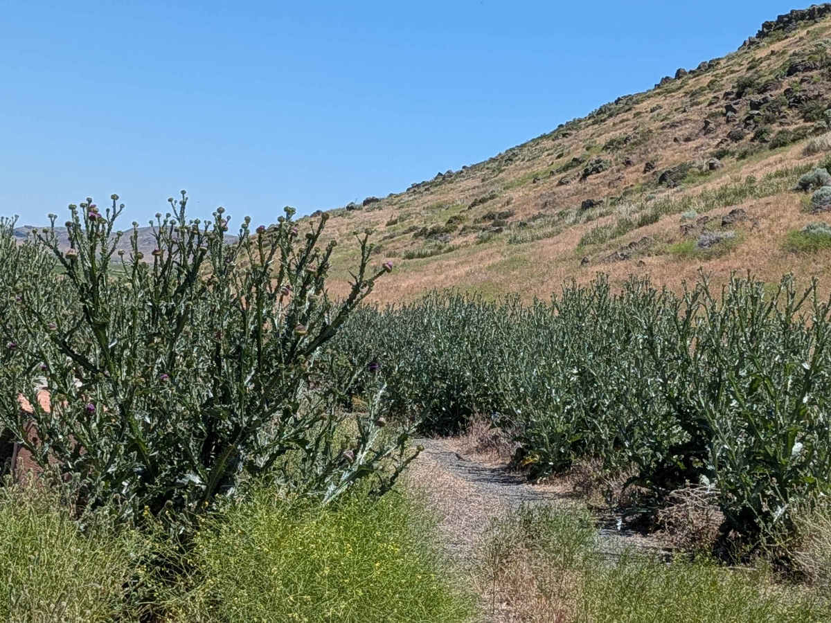
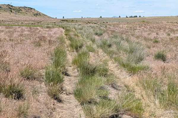
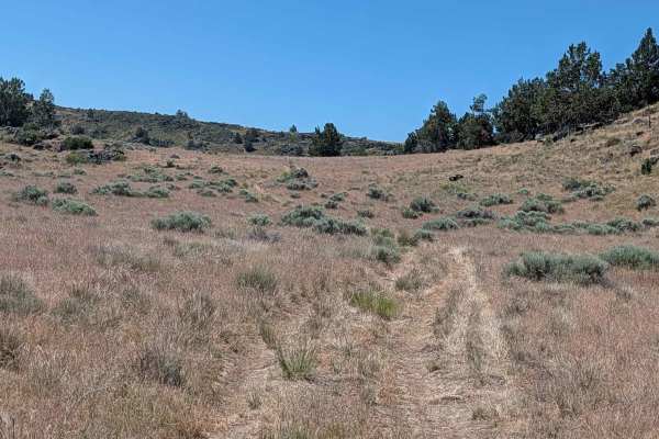
While the trail carries a rating of 2, drivers must maintain focus due to its shelf-road nature and exposure. The surface is a variable mix of compacted gravel, loose pumice, and loose dirt, which can require careful throttle management to ensure traction. The trail is narrow, and travelers will encounter small ruts and uneven sections that demand precise steering. Because the road follows the contours of the lava ridge, maintaining proper lane position is vital. The loose pumice can occasionally shift under load, so while the trail is generally accessible, it is best suited for those comfortable with narrow, shelf-style passages where there is limited room for error.

 Offroad