Trail Overview
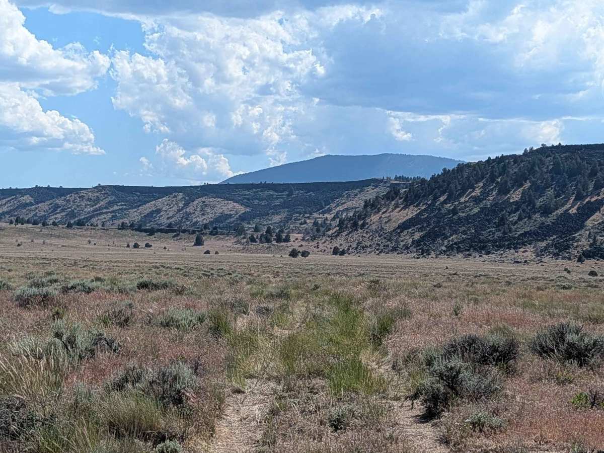
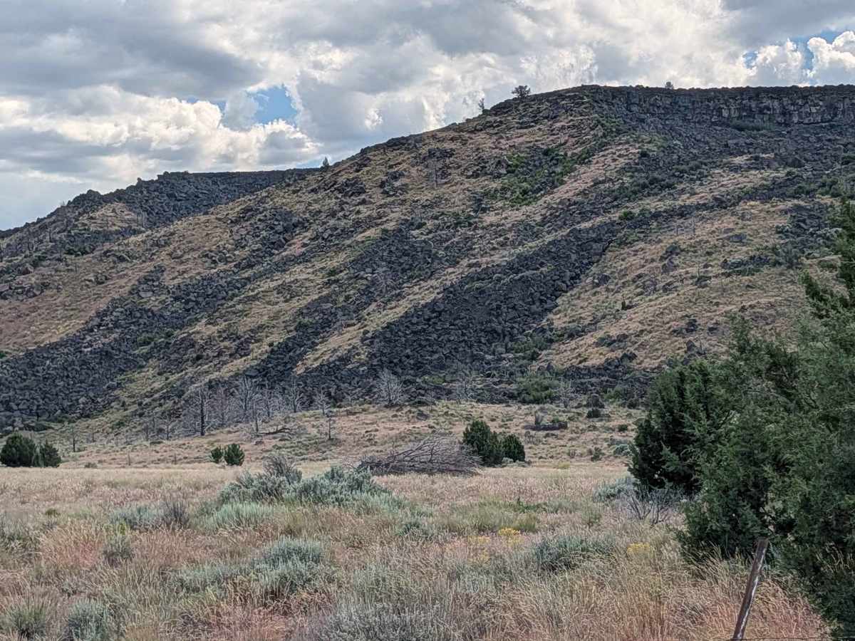
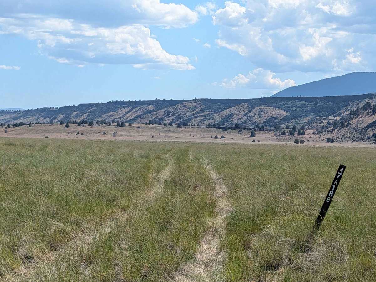
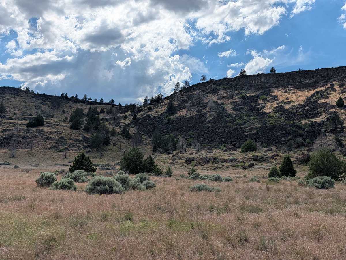
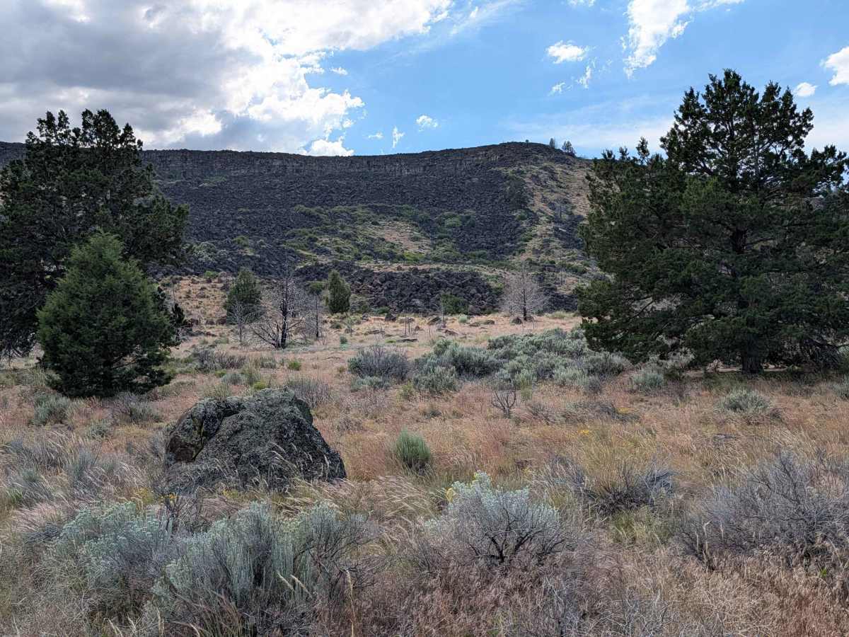
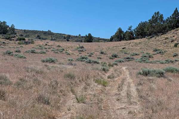
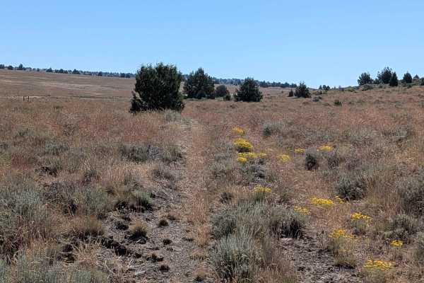
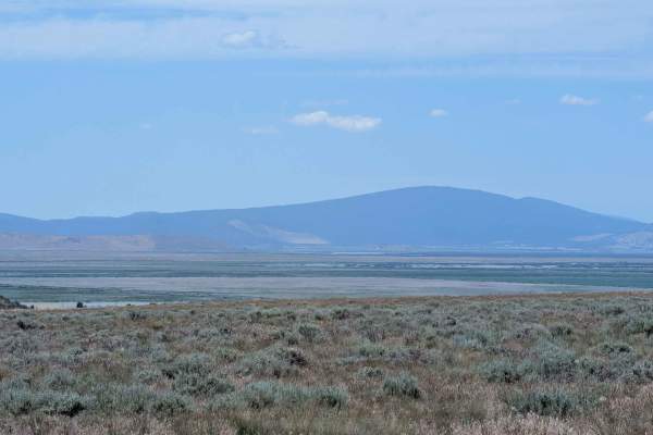
This 4-mile out-and-back trail offers a diverse journey through the high-desert landscape, beginning at Sheep Camp Butte and winding its way toward a prominent lava bed ridgeline. The route initially traverses an expansive, open meadow dominated by short grasses, providing a sense of openness and tranquility. As you approach the 1.2-mile mark, the character of the terrain shifts, and the trail begins a steady climb into the volcanic ridgeline. The route winds its way toward a fence line before reaching its terminus, offering beautiful panoramic views of the surrounding area along the way. With several scenic pull-offs and quiet locations along the ridge, this trail provides excellent opportunities for dispersed camping in a remote, pristine setting.
Difficulty
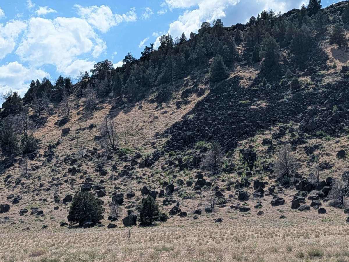
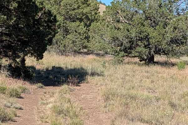
This trail is rated a 2, offering a fairly manageable experience, though the terrain is consistently bumpy throughout. The surface is comprised of loose pumice and dirt, occasionally interspersed with volcanic rocks that become more frequent and larger as you climb the rocky hill during the final ascent. While there is overgrown grass and brush present in the center median, the trail remains easy to follow. Because the ride can be quite jarring, airing down your tires is highly recommended to improve traction and significantly increase passenger comfort over the uneven surface. Ensure your vehicle has adequate clearance to navigate the transition into the rocky ridge-line section.