Trail Overview
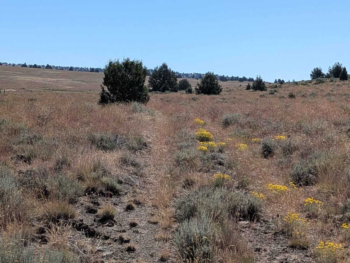
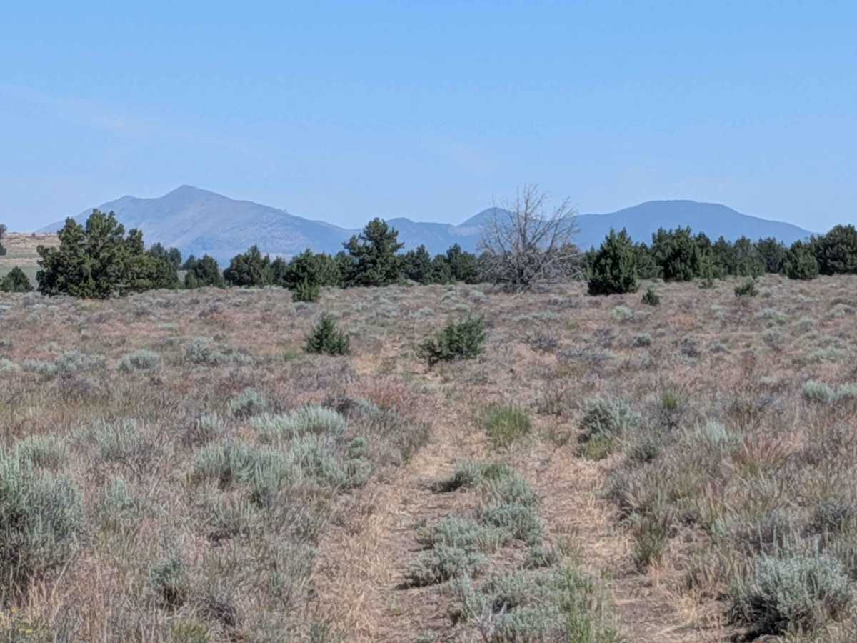
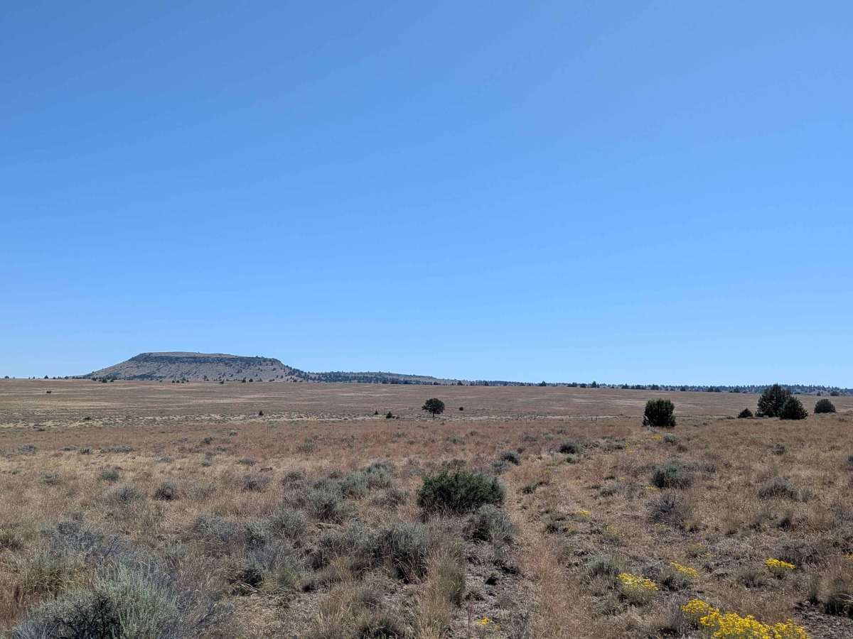
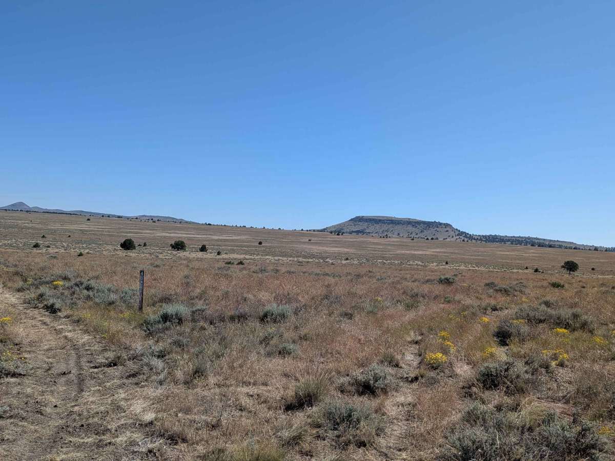
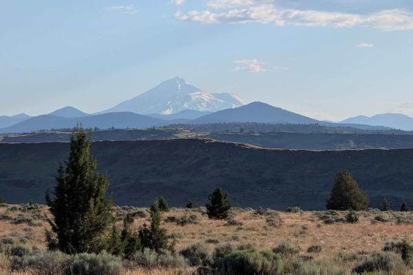
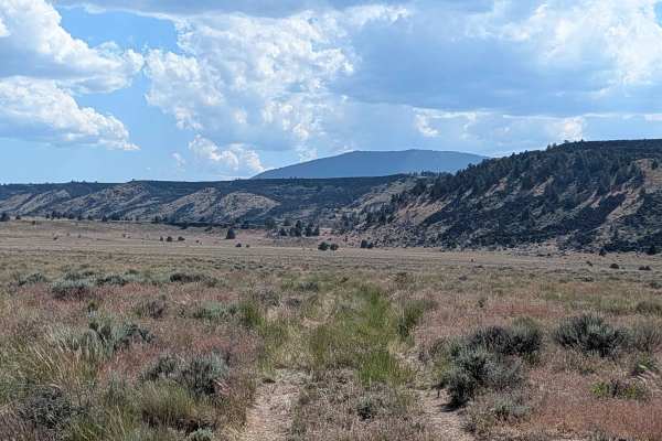
This 3-mile point-to-point route functions as a scenic loop, originating and concluding at the Sheep Camp Butte FS 47N18 road. The trail traverses a wide-open meadow landscape dominated by dense grasses and low-lying brush, offering a quintessential high-desert experience. As you proceed in a northerly direction, the expansive mountain ranges of Oregon serve as a dramatic, constant backdrop to your journey. While the majority of the trail is situated within the Modoc National Forest, the northernmost segment crosses onto Bureau of Land Management (BLM) land, showcasing a transition in land management that remains visually seamless as you explore this quiet, remote corridor.
Difficulty
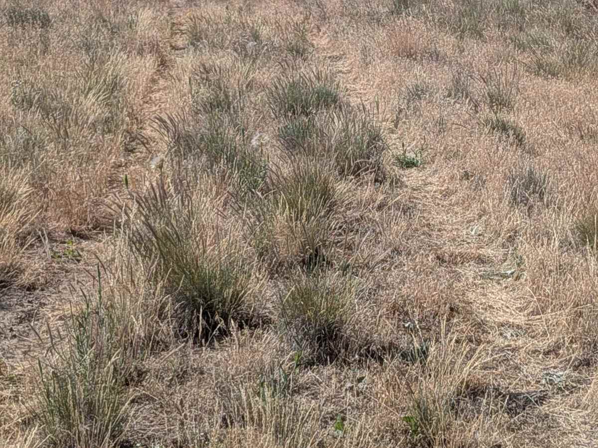
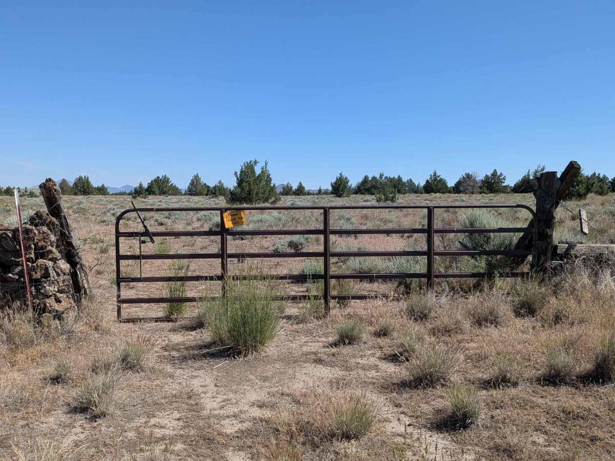
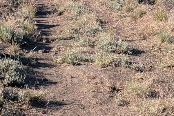
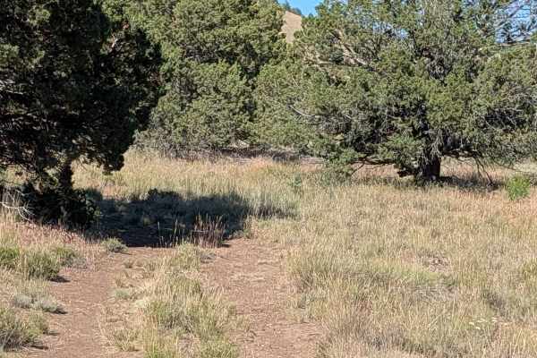
The trail is generally manageable, earning a rating of 2, though it requires consistent driver engagement. The surface is composed of loose dirt and small, scattered volcanic rocks, creating a ride that is consistently bumpy and necessitates slower travel speeds to maintain passenger comfort. Navigational challenges arise from overgrown brush and grasses occupying the center median, which can occasionally obscure the path and make it difficult to follow. Additionally, the route includes a heavy-duty cattle gate; drivers must be prepared to stop and manually operate this, ensuring it is closed securely behind them to respect local ranching operations.