Trail Overview
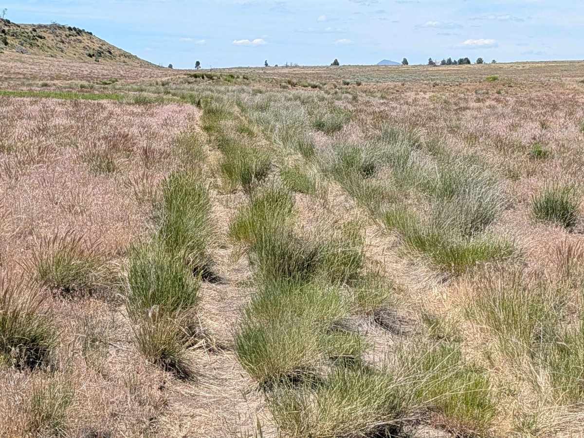
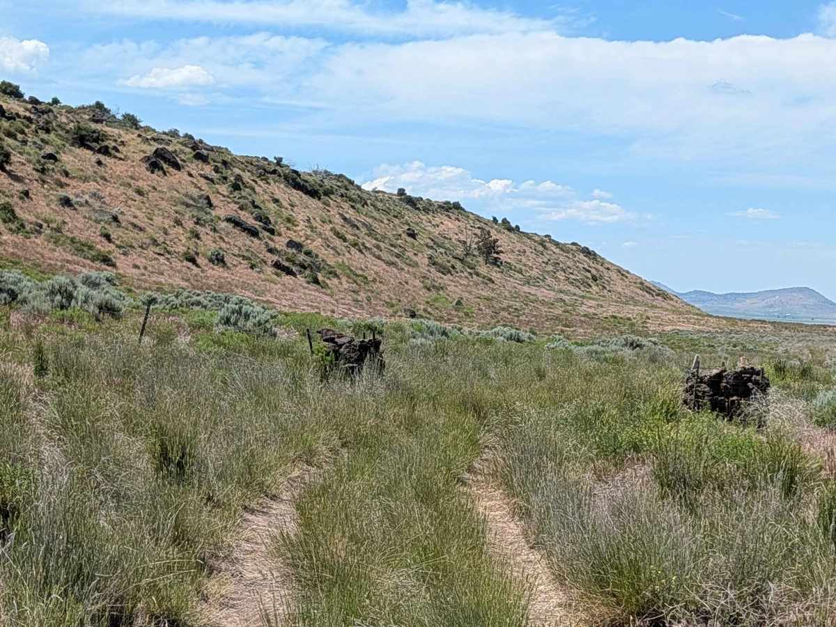
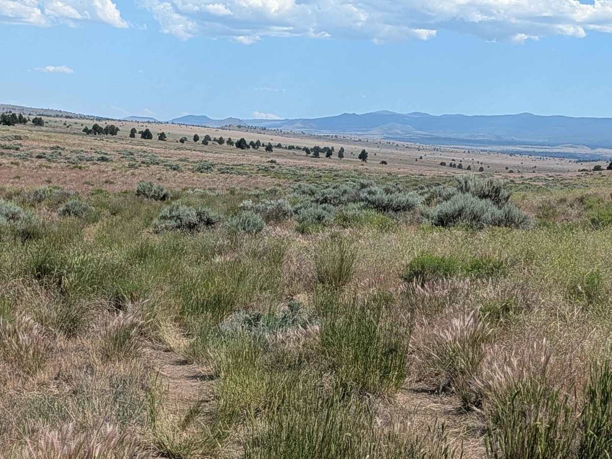
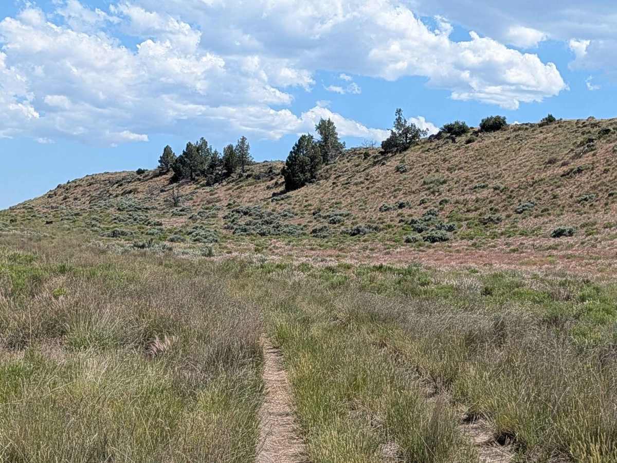
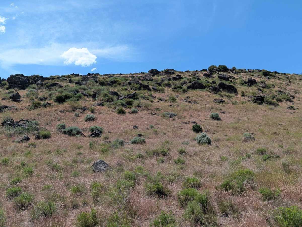
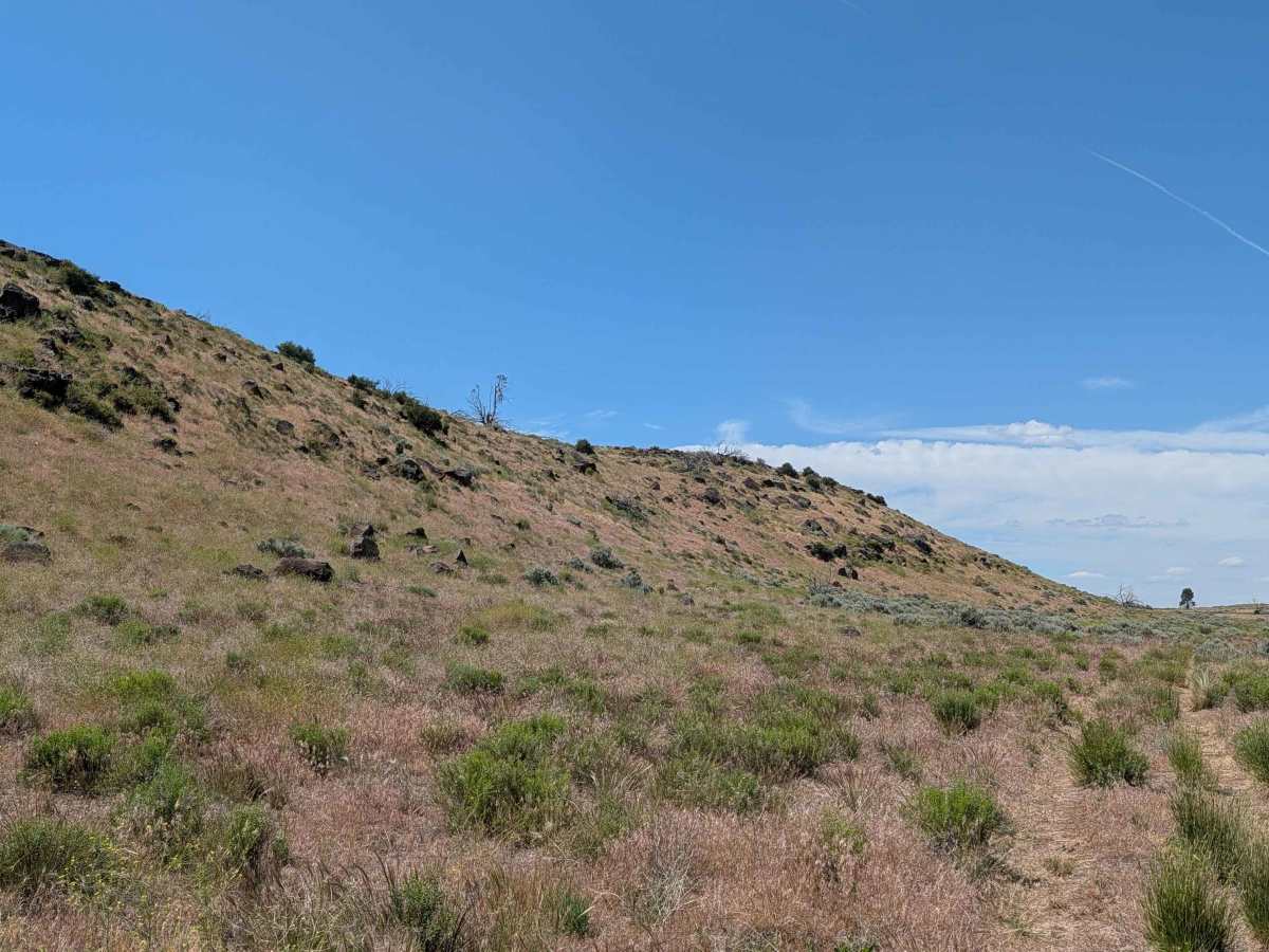
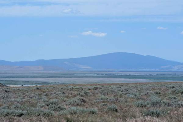
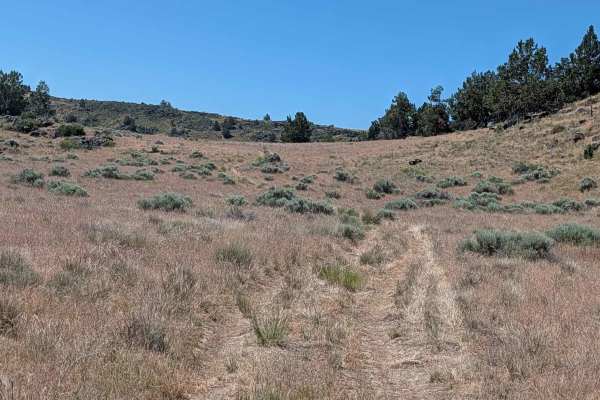
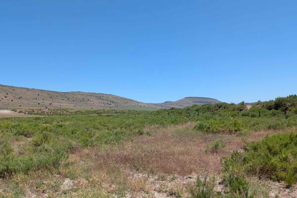
This 3.5-mile out-and-back route provides a serene journey through a wide, expansive meadow characterized by short grasses and sparse, scattered bushes. As you traverse the landscape, you will find yourself running parallel to a striking lava bed ridge situated on the western side of the meadow, which serves as a constant reminder of the region’s volcanic heritage. The area is a haven for local fauna, with large herds of deer frequently spotted grazing in the open fields. Upon reaching the end of the trail, travelers are rewarded with breathtaking vistas looking out over the expansive Lower Klamath National Wildlife Refuge and the distant, rugged mountain ranges of Oregon.
Difficulty
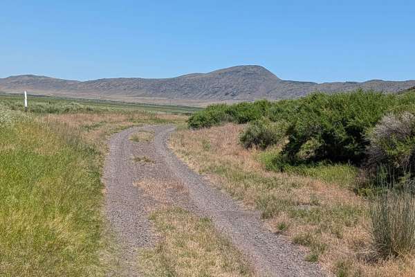
The trail is generally straightforward, but the presence of overgrown grass in the center median throughout the path makes high clearance a necessity to protect your undercarriage from hidden debris. The surface consists primarily of loose dirt that is somewhat uneven, featuring a few slightly off-camber sections that require measured steering to maintain vehicle composure. While there are no significant technical obstacles, the combination of loose, shifting soil and thick median vegetation necessitates a cautious, steady pace. Ensure your vehicle is capable of handling uneven terrain, as the trail's simplicity is deceptive when factoring in the potential for high-centering on the overgrown center track.