Trail Overview
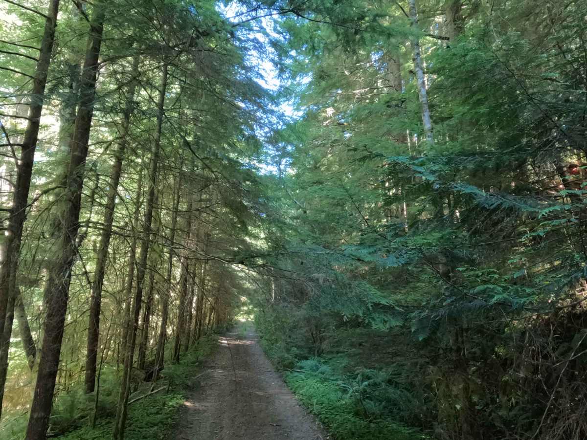
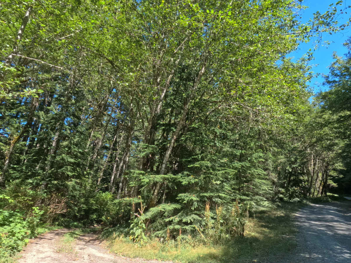
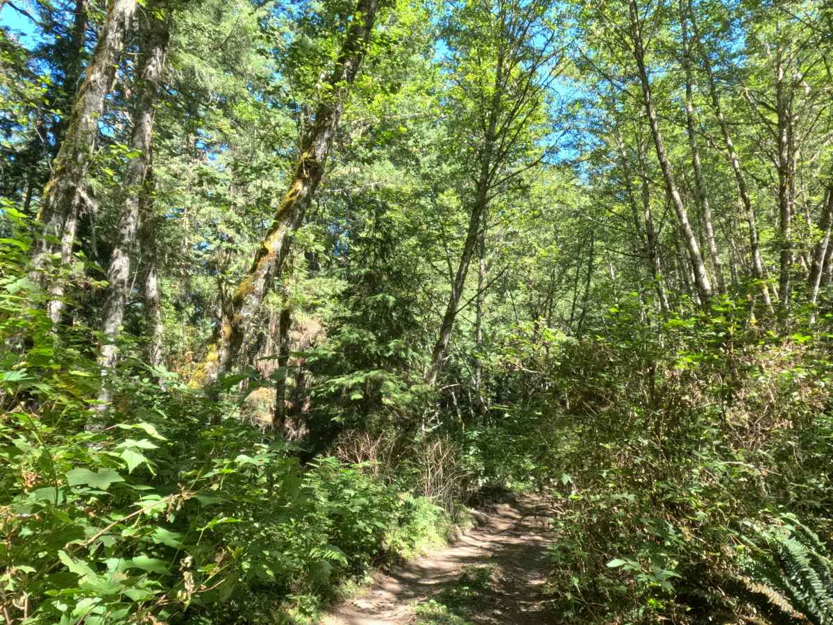
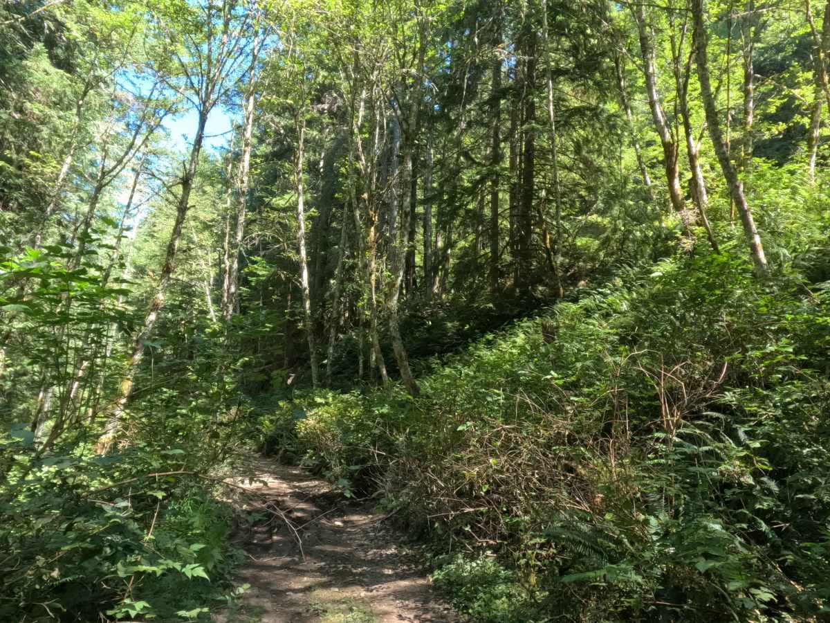
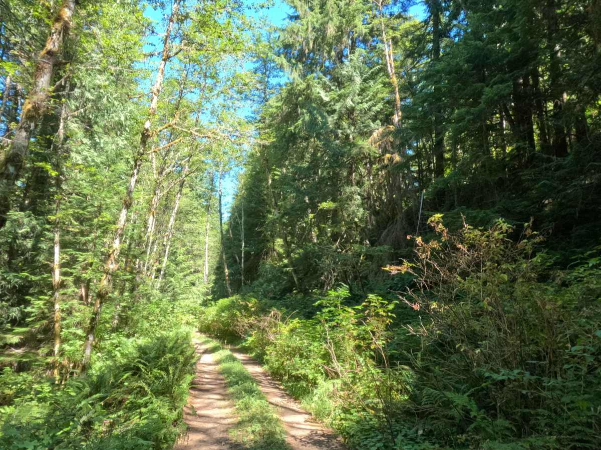
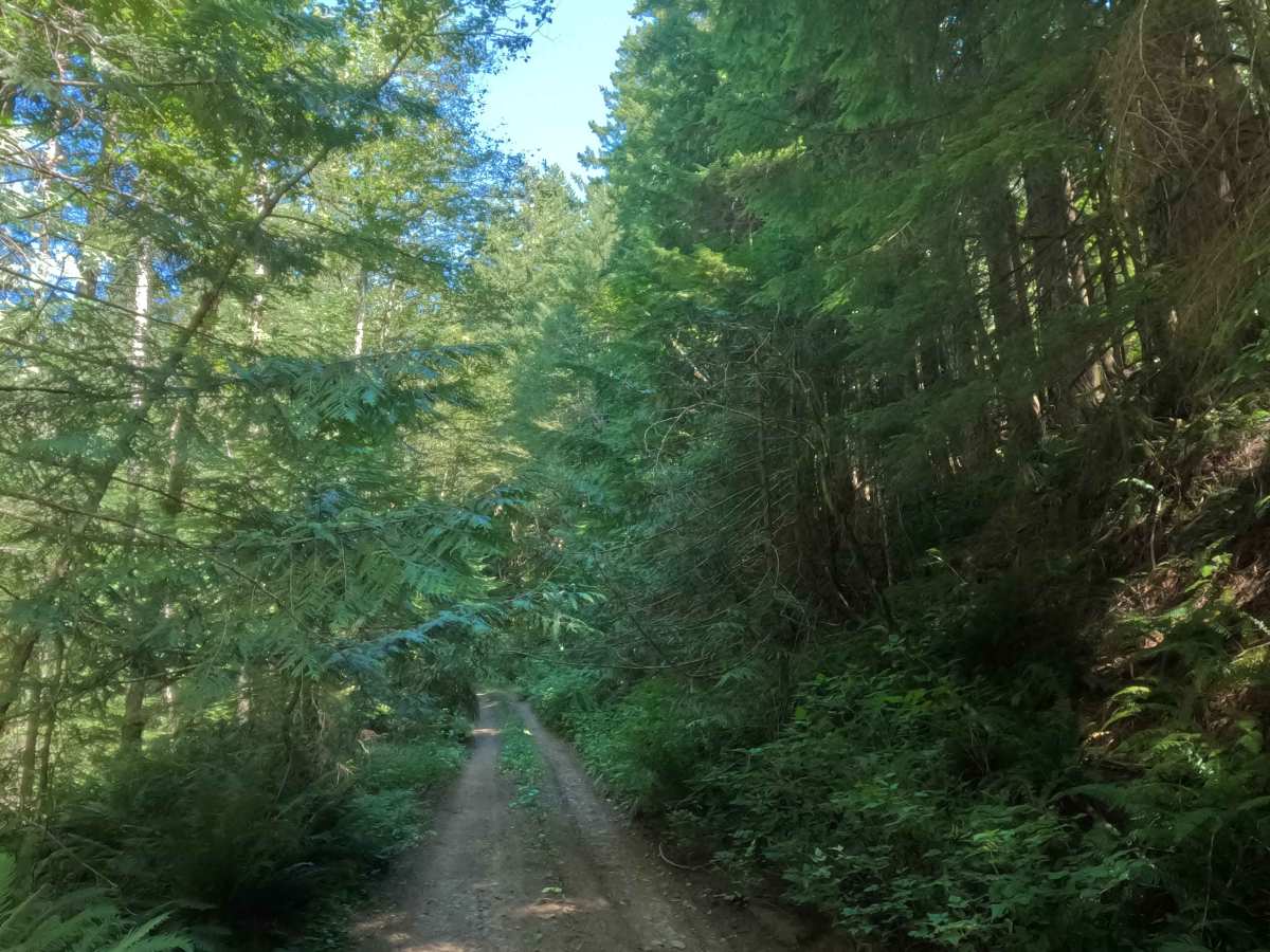
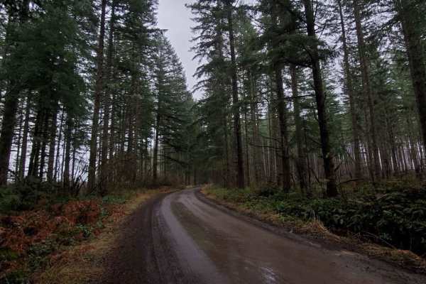
Tucked within a lush, canopy-covered second-growth forest of hemlock, Douglas fir, and vibrant fern understory in Mt. Hood National Forest, FS 4613130 offers a secluded woodland bypass. Accessed off of FS 4613000 at its southern junction, this 2.1-mile single-lane connector branches off to climb through dense timber before rejoining FS 4613000 approximately two miles north near Bedford Creek. Outdoor enthusiasts and forest visitors primarily utilize this scenic bypass to access informal recreational target shooting areas, explore Whisky Creek, or navigate surrounding backcountry forest tracks. The driving surface consists of a narrow gravel and dirt track marked by sparse small to medium potholes, minor surface ruts, and encroaching side foliage, earning a manageable Grade 2 difficulty rating. Leaving the main road, the track crosses Whisky Creek before embarking on a sustained 5–10% uphill climb beneath a dense tree canopy. Along the ascent, a consistent exposure ledge borders the driver's side of the narrow corridor, offering minimal passing space. While several mapped spur roads branch off into the forest, the main bypass continues steadily upward until rejoining the main road near Bedford Creek.
Difficulty
Earning an accessible Grade 2 difficulty rating, this 2.1-mile forest bypass features a firm gravel surface with modest terrain challenges. Primary considerations include a sustained 5–10% incline, scattered shallow potholes, a gentle crossing over Whisky Creek, and a persistent exposure drop-off running along one side of the narrow roadway. In addition, low-hanging tree branches and encroaching brush squeeze the track, creating tight side clearance. Drivers should maintain a steady, controlled speed, keep wheels aligned on the firmest gravel path, watch for oncoming traffic near narrow shelf sections, and proceed cautiously past informal shooting turnouts.