Trail Overview
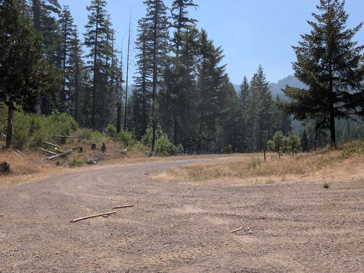
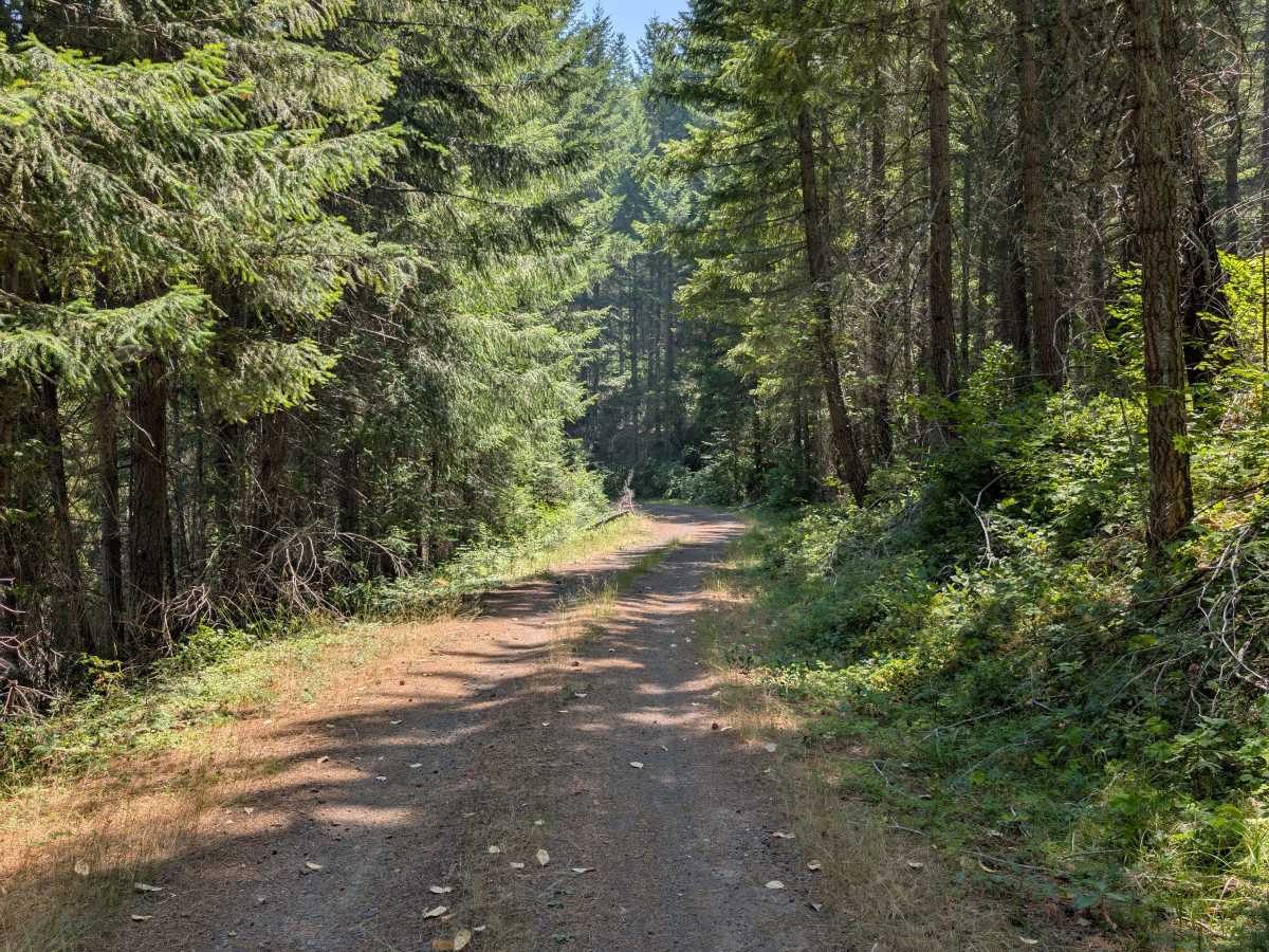
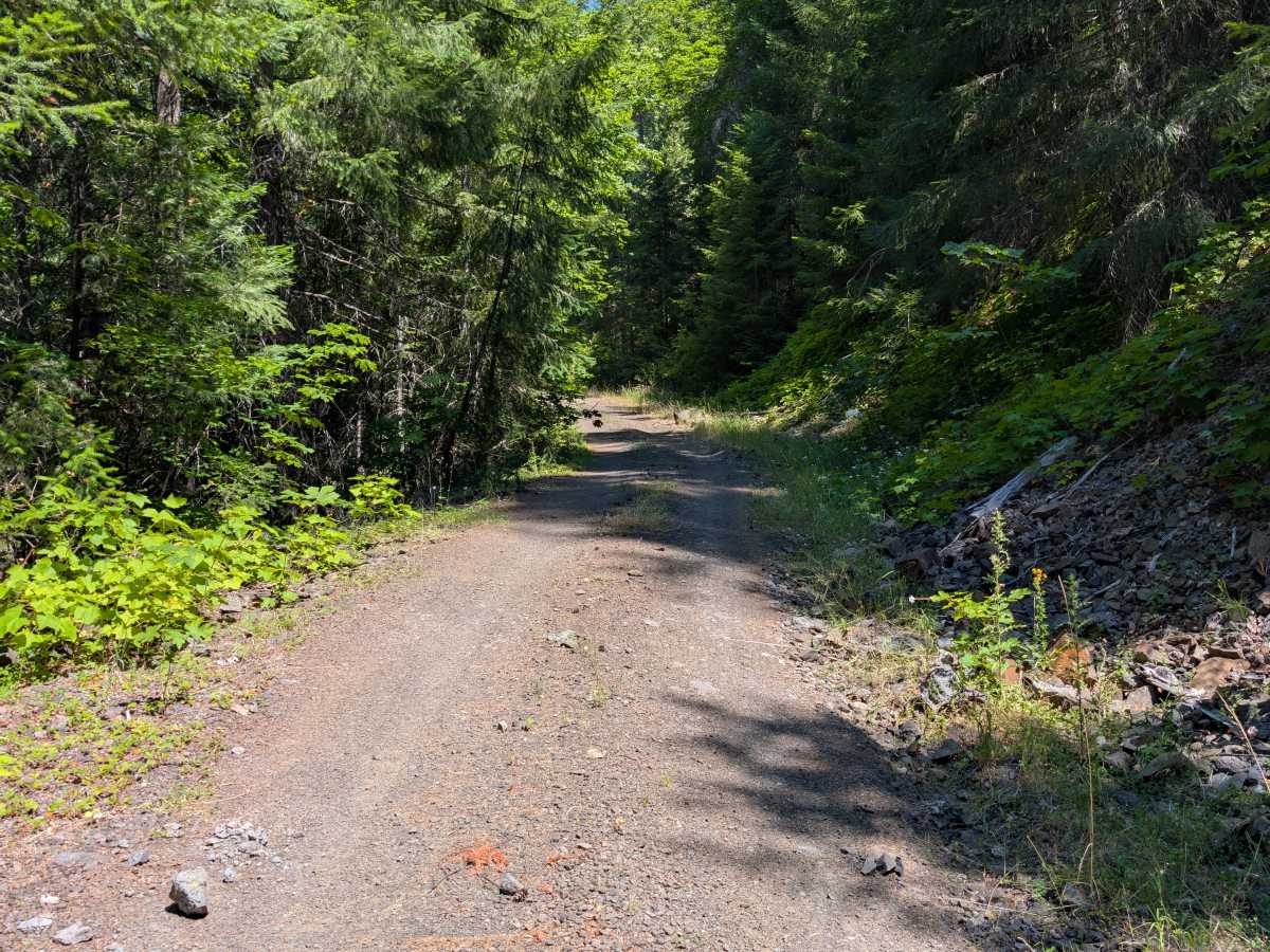
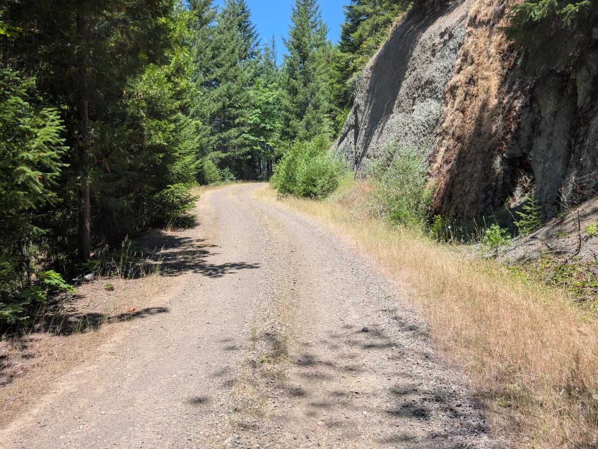
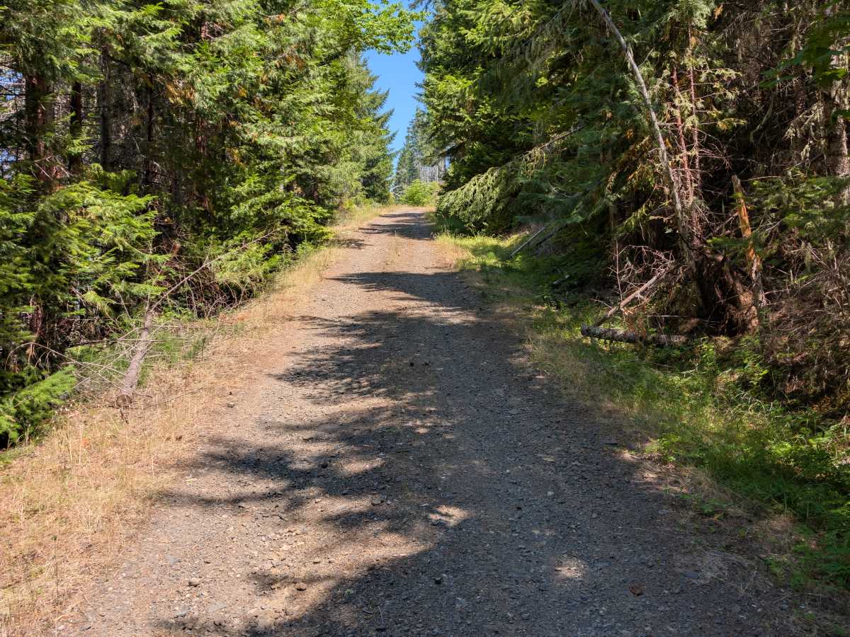
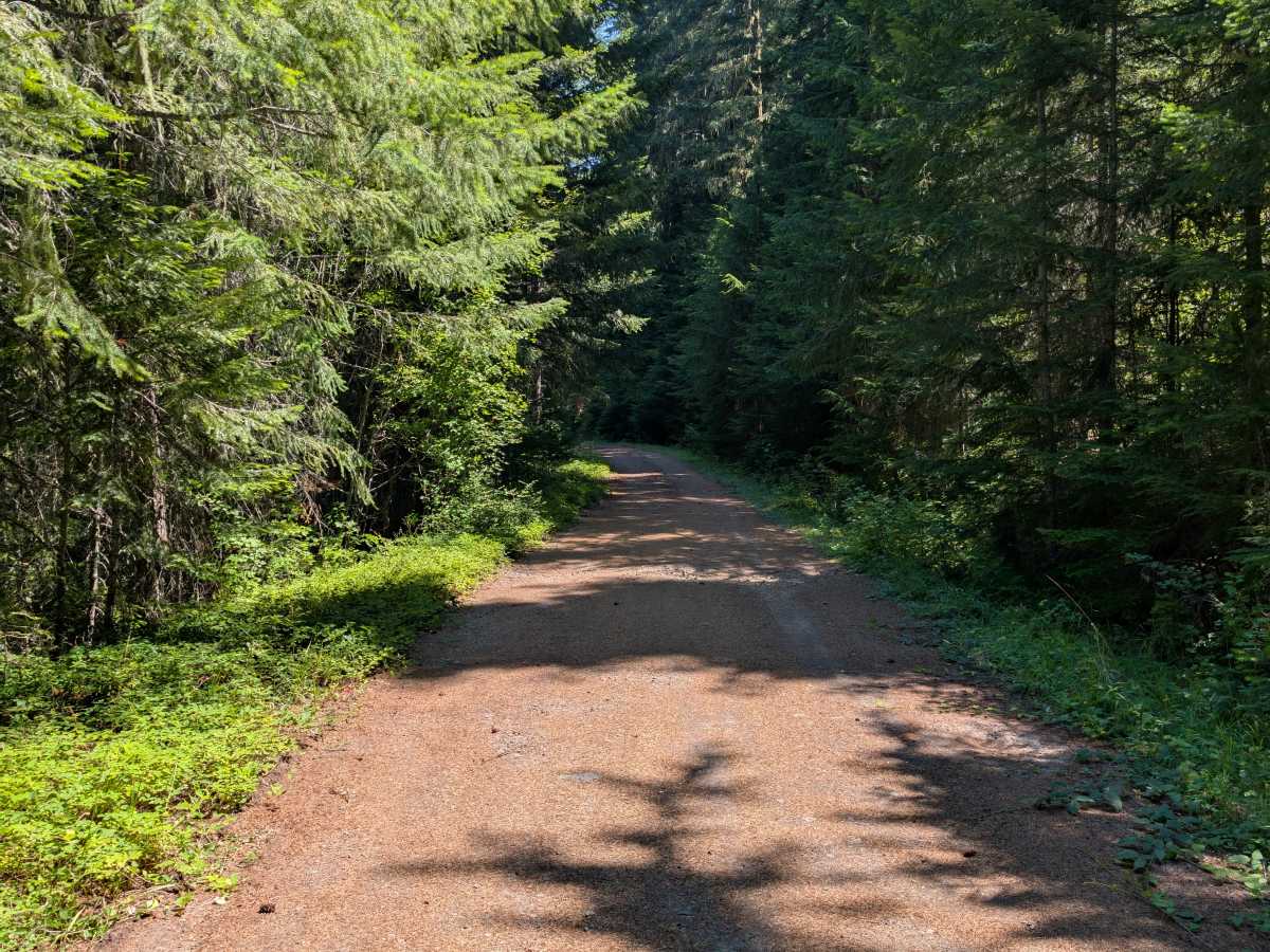
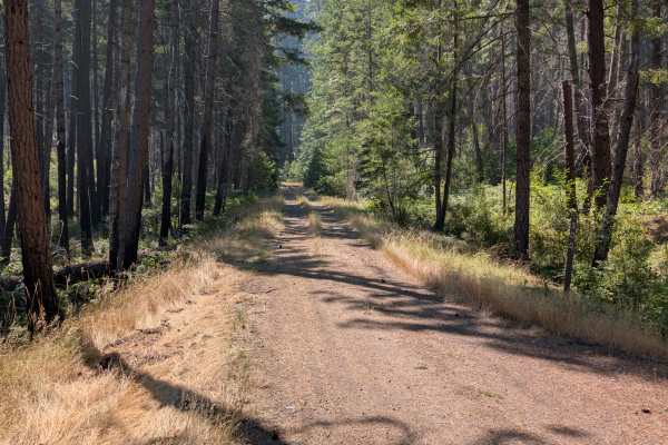
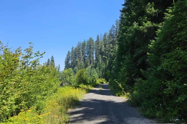
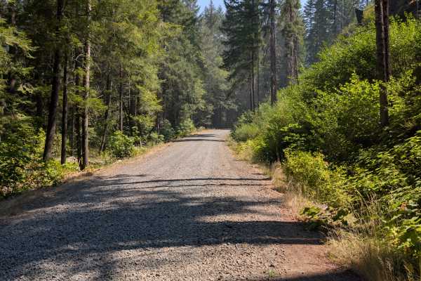
This scenic connector trail links several larger arterial roads while winding through rolling mountain terrain on a mostly compact gravel surface with a grassy center strip. The route begins with a climb to a hillside viewpoint where expansive views of the surrounding landscape can be enjoyed. Much of the area has been affected by previous wildfires, leaving open hillsides now covered with low vegetation and natural regrowth. The trail includes a few moderate inclines and off-camber sections but remains relatively easy to travel overall. It eventually descends on a long downhill grade before connecting with the 2950, providing an important link through the trail network. This route also offers access toward Tiller, making it a useful connector while still providing a beautiful drive through Oregon’s recovering mountain forests. ATVs, UTVs, Side-by-Sides, and Dirt Bikes must always have a valid Oregon ATV Operating Permit sticker.
Difficulty
The moderate inclines, off-camber sections, and a long downhill grade are the main challenges on this route.