Trail Overview
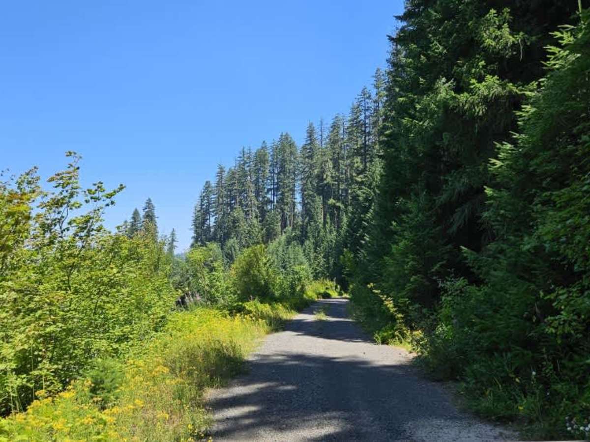
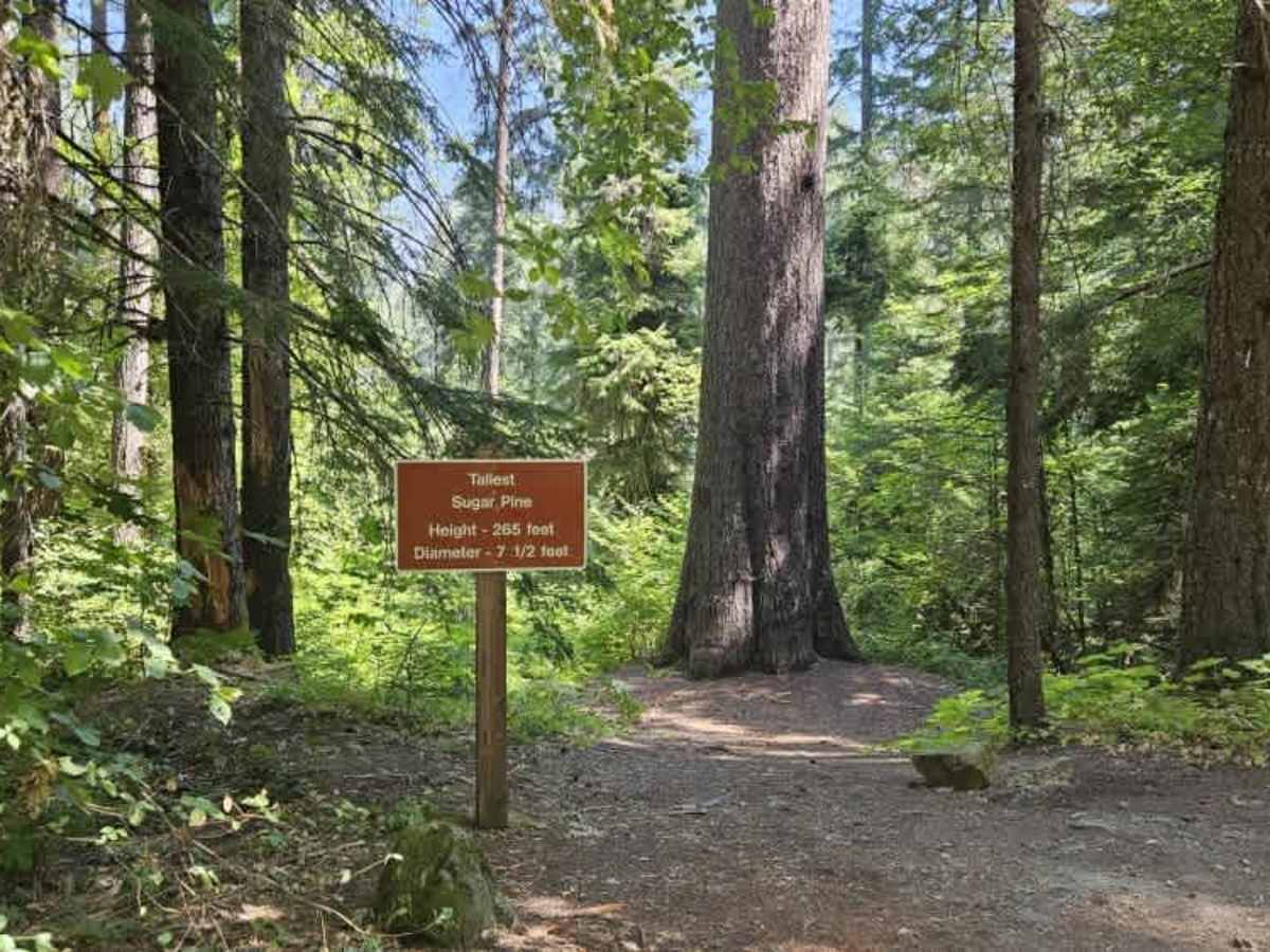
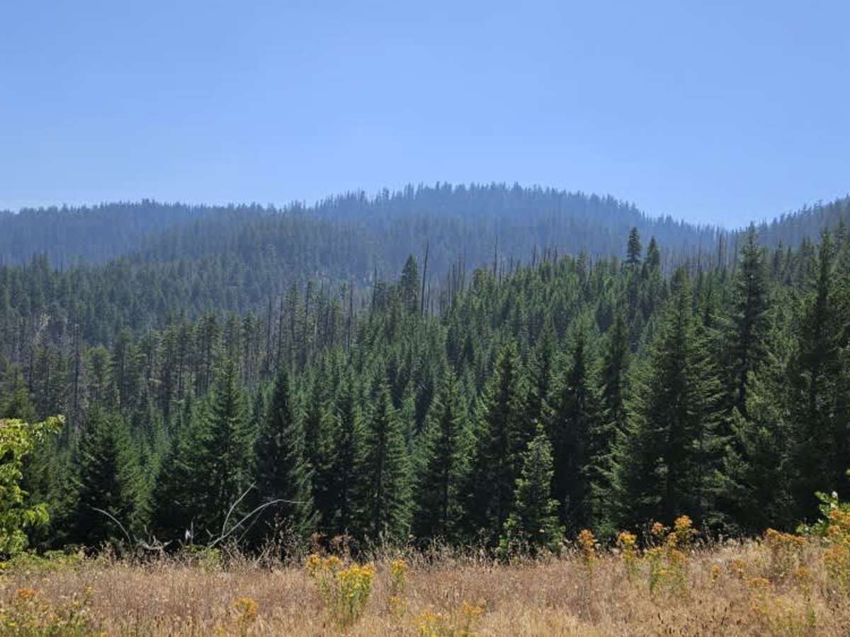
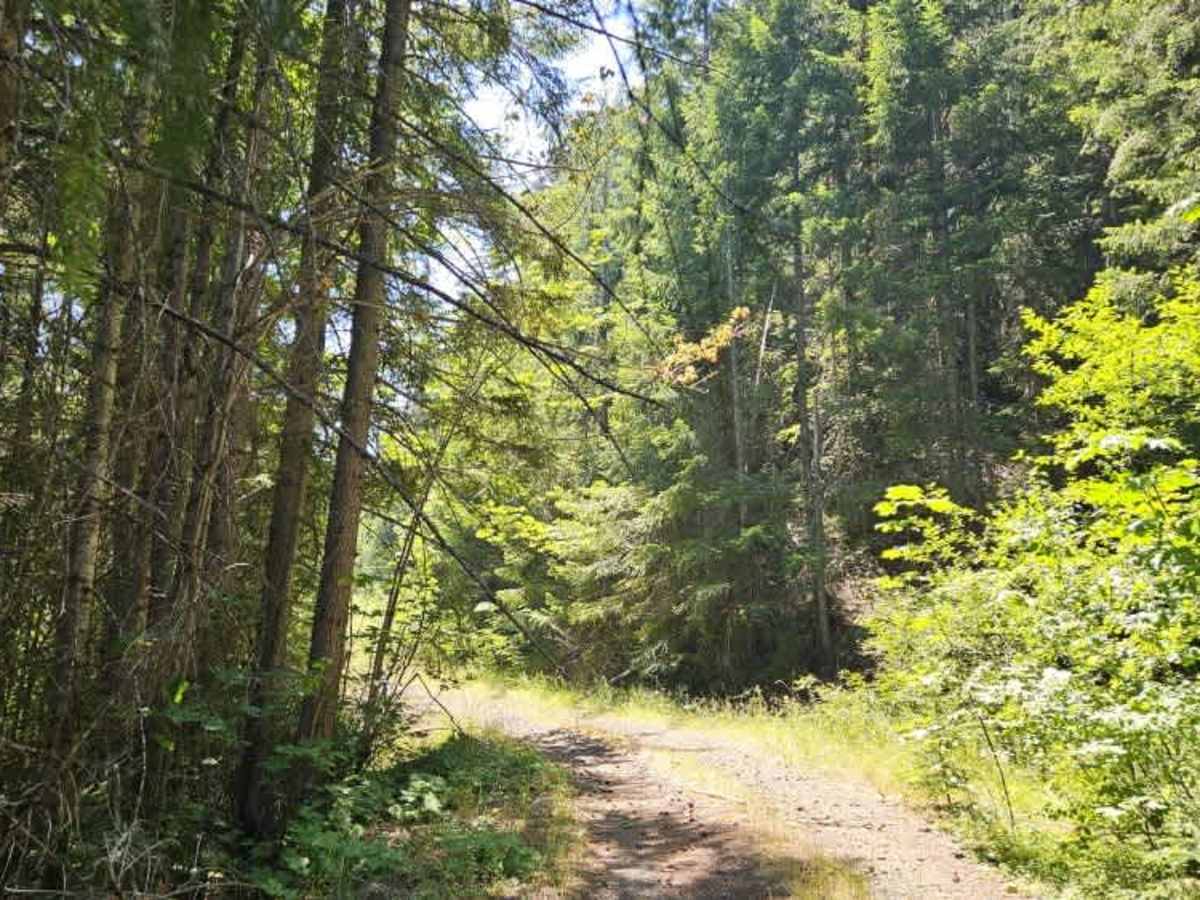
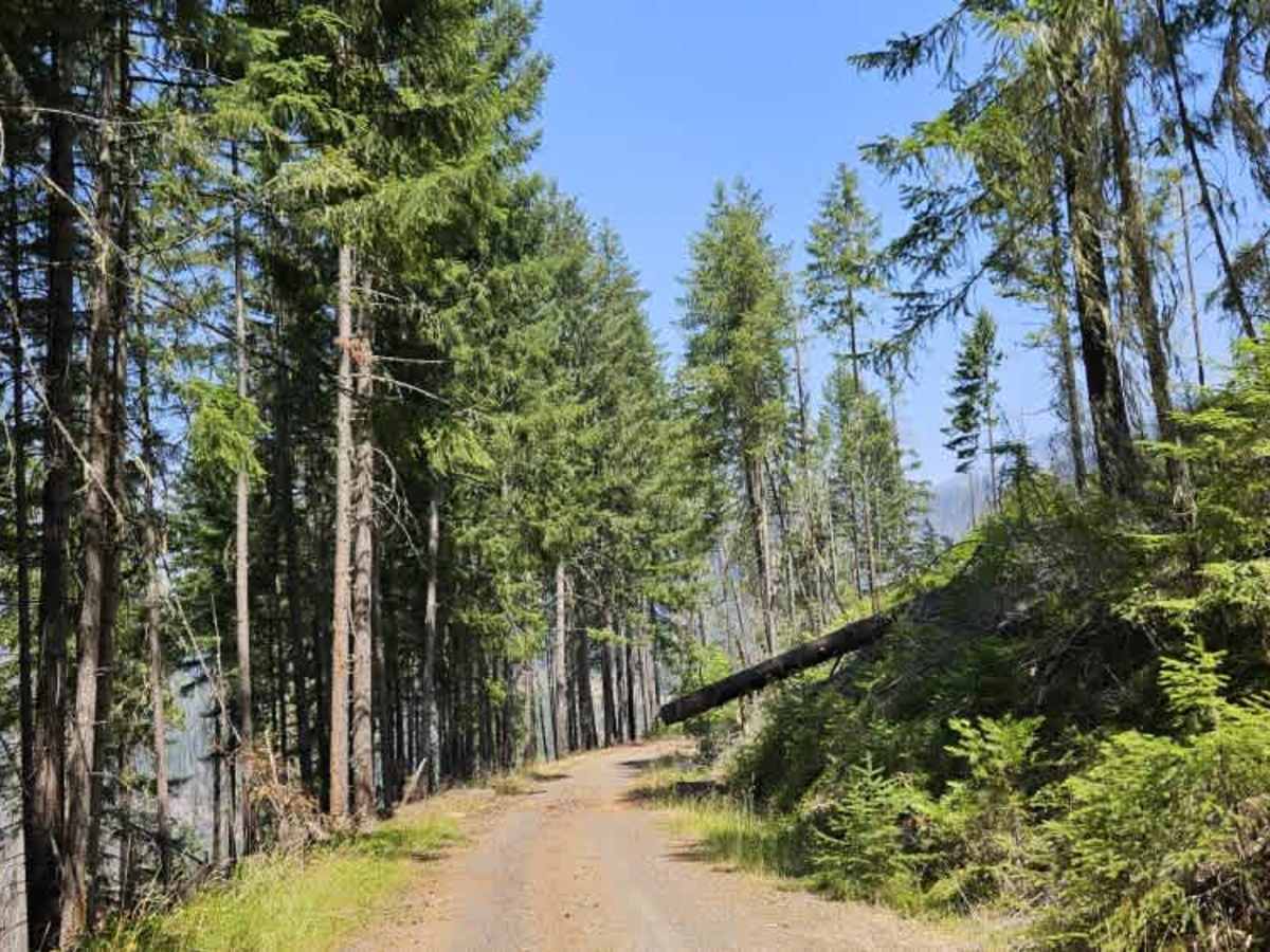
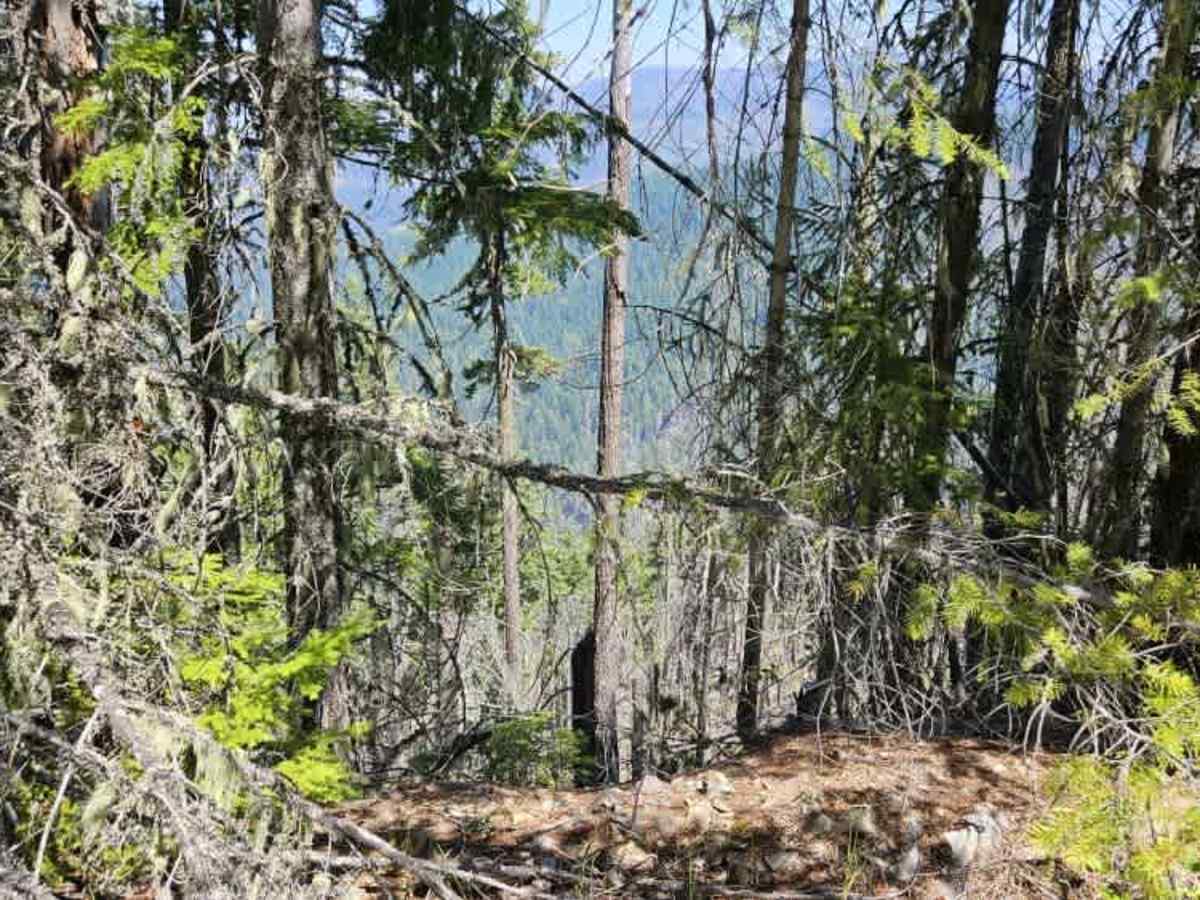
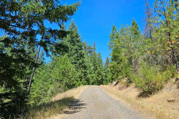
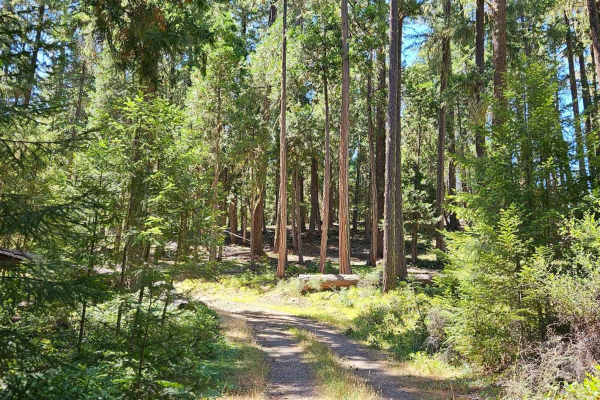
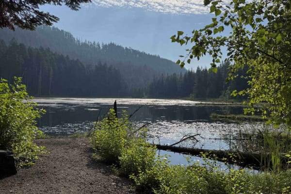
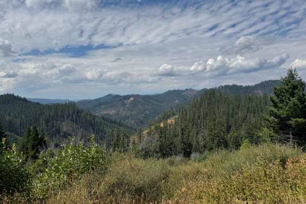
This trail begins as a well-maintained road from the Black Canyon Campground, passes the World’s Tallest Sugar Pine, then transitions to a user-maintained route. It climbs steadily through the forest, becoming narrower and more overgrown in places before opening into areas affected by past wildfires, where many burned trees have been removed. The route winds through a beautiful mix of forest and wildflowers, with pink, orange, yellow, and purple blooms adding color during the season. Bear activity is common in this area, and deer are frequently seen, so use caution whenever stopping or walking around outside your vehicle. Several fallen trees remain along the trail. While some have been cleared, others have been bypassed or driven over by previous users. After a major junction, the trail becomes noticeably rougher, with thicker vegetation, larger potholes, and inevitable pinstriping for full-size vehicles. A drainage ditch along the left side gradually deepens and is partially hidden by vegetation, making the trail edge more deceptive than it first appears. Around the 11.4-mile mark, a large washout blocks the trail where the road has collapsed along the hillside. The remaining soil is unstable and continues to crumble, making it unsafe to proceed beyond this point.
Difficulty
The narrow, overgrown sections, fallen trees, deep potholes, and a major hillside washout along this trail make this a more challenging route to venture down.

 Offroad