Trail Overview
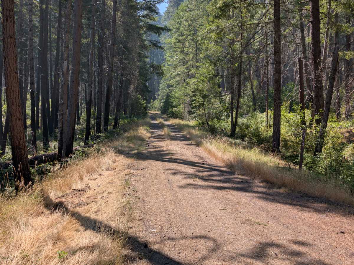
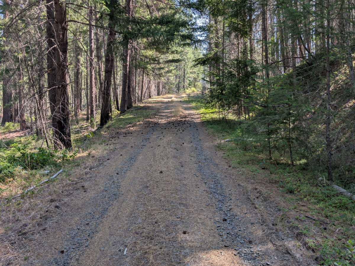
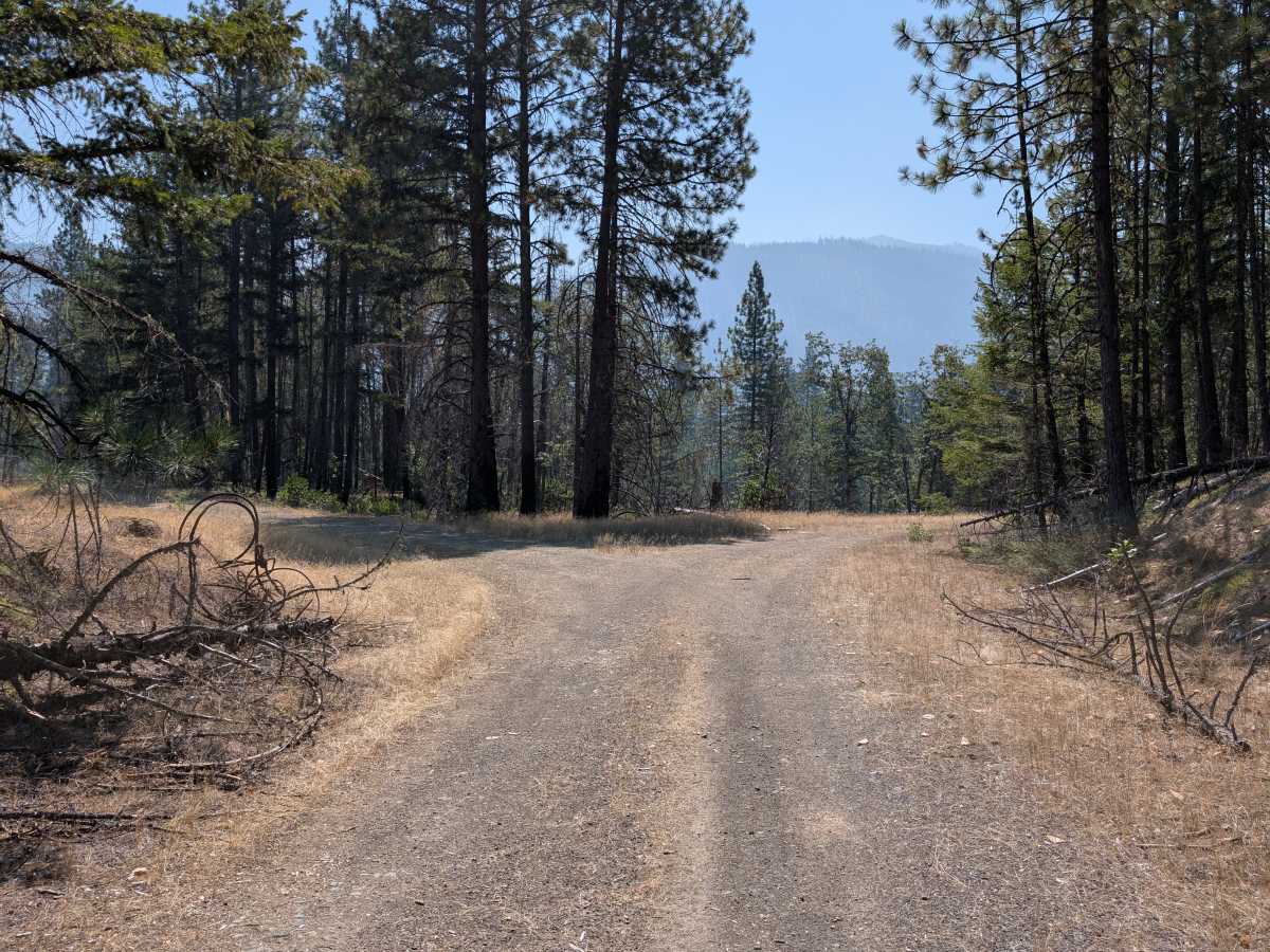
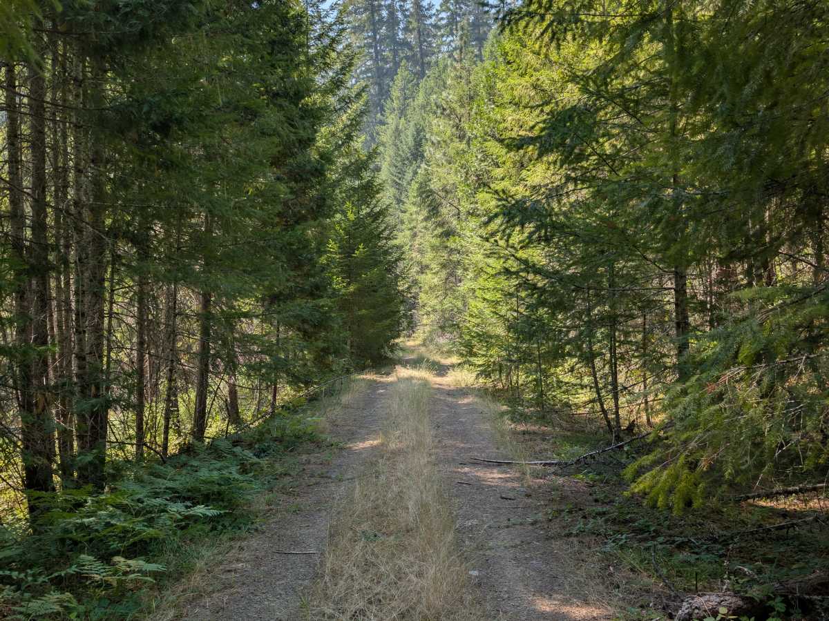
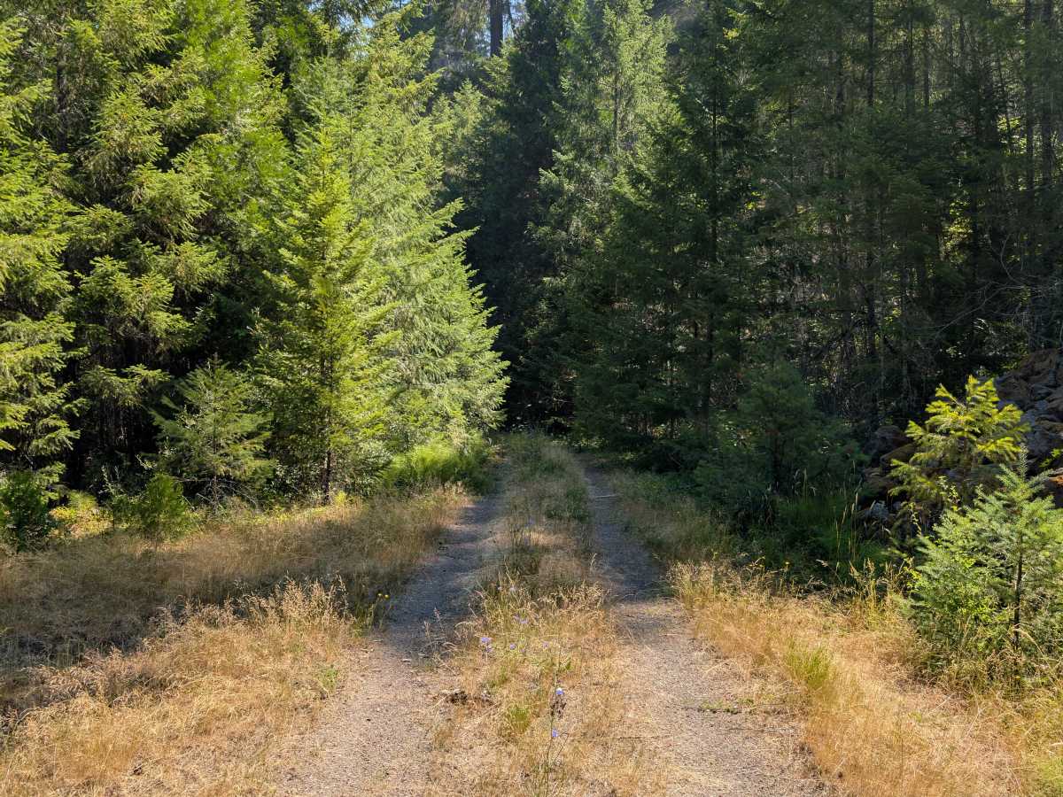
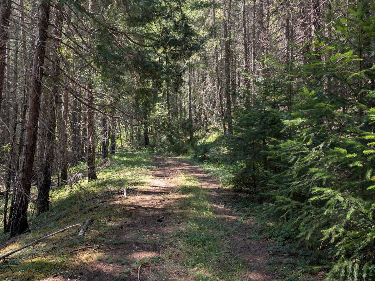
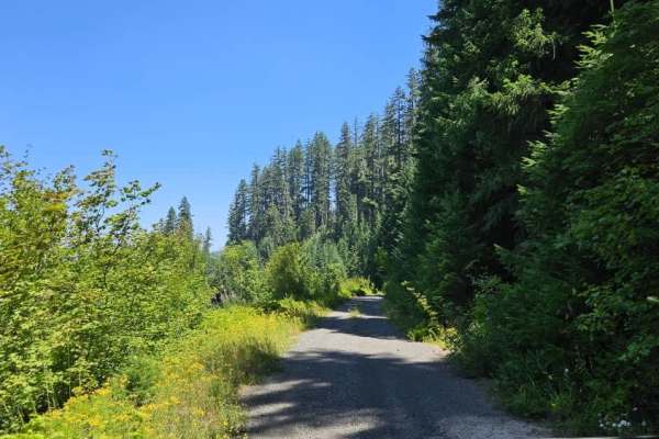
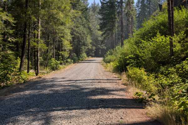
This trail is open to all vehicles and begins with a firm, compact surface bordered by tall grass, making for an easy and enjoyable drive through the forest. As the route progresses, conditions gradually become rougher with scattered rocks, increasing overgrowth, and several fallen trees. Although the trail remains passable for much of its length, multiple downed trees eventually block further travel. Portions of the surrounding forest show evidence of past wildfire, but healthy new vegetation and young trees are beginning to reclaim the landscape, creating an interesting contrast between burned areas and fresh growth. Overall, this is a scenic alpine trail that offers a peaceful drive through recovering forest, but visitors should be prepared for changing trail conditions and the possibility of impassable obstacles near the end. ATVs, UTVs, Side-by-Sides, and Dirt Bikes must always have a valid Oregon ATV Operating Permit sticker.