Trail Overview
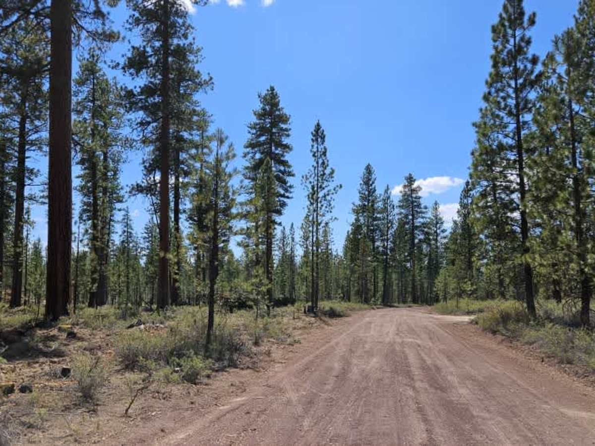
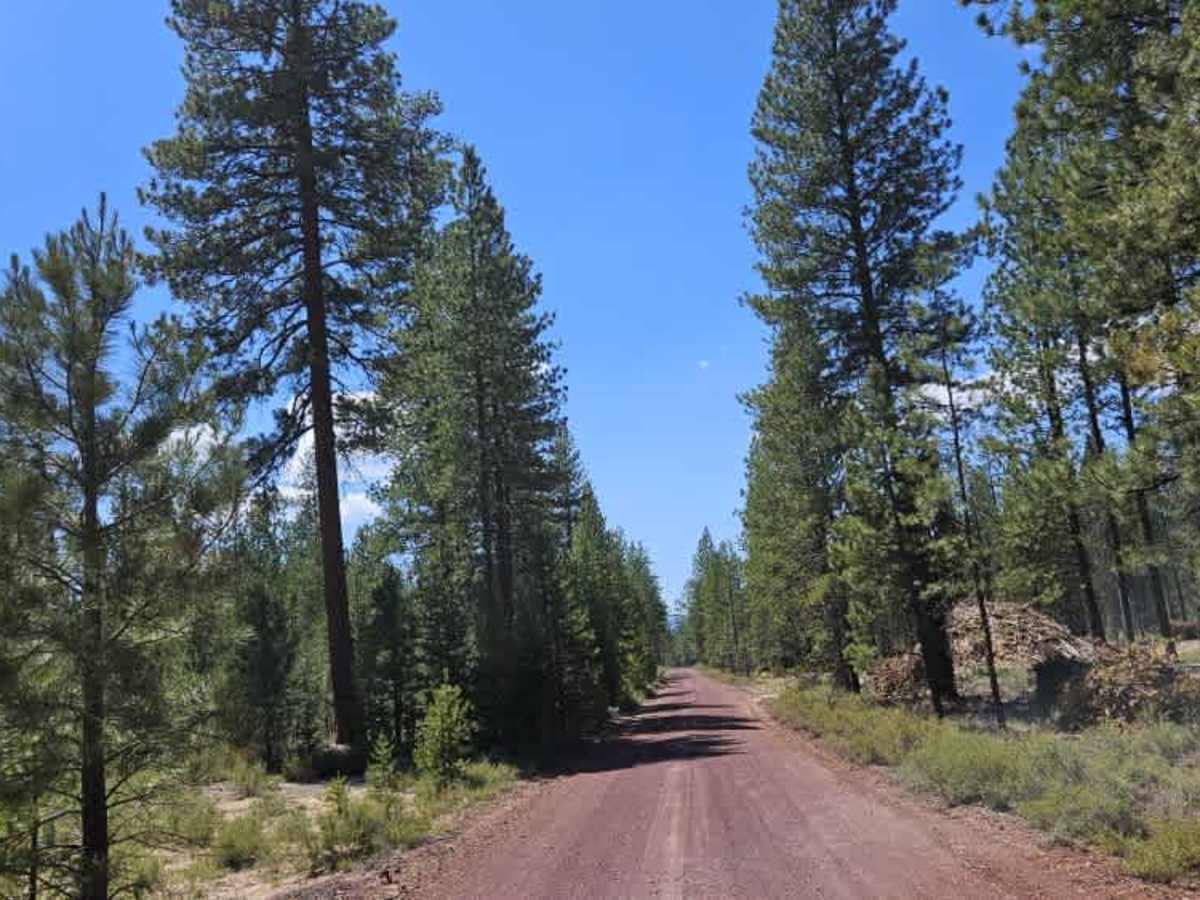
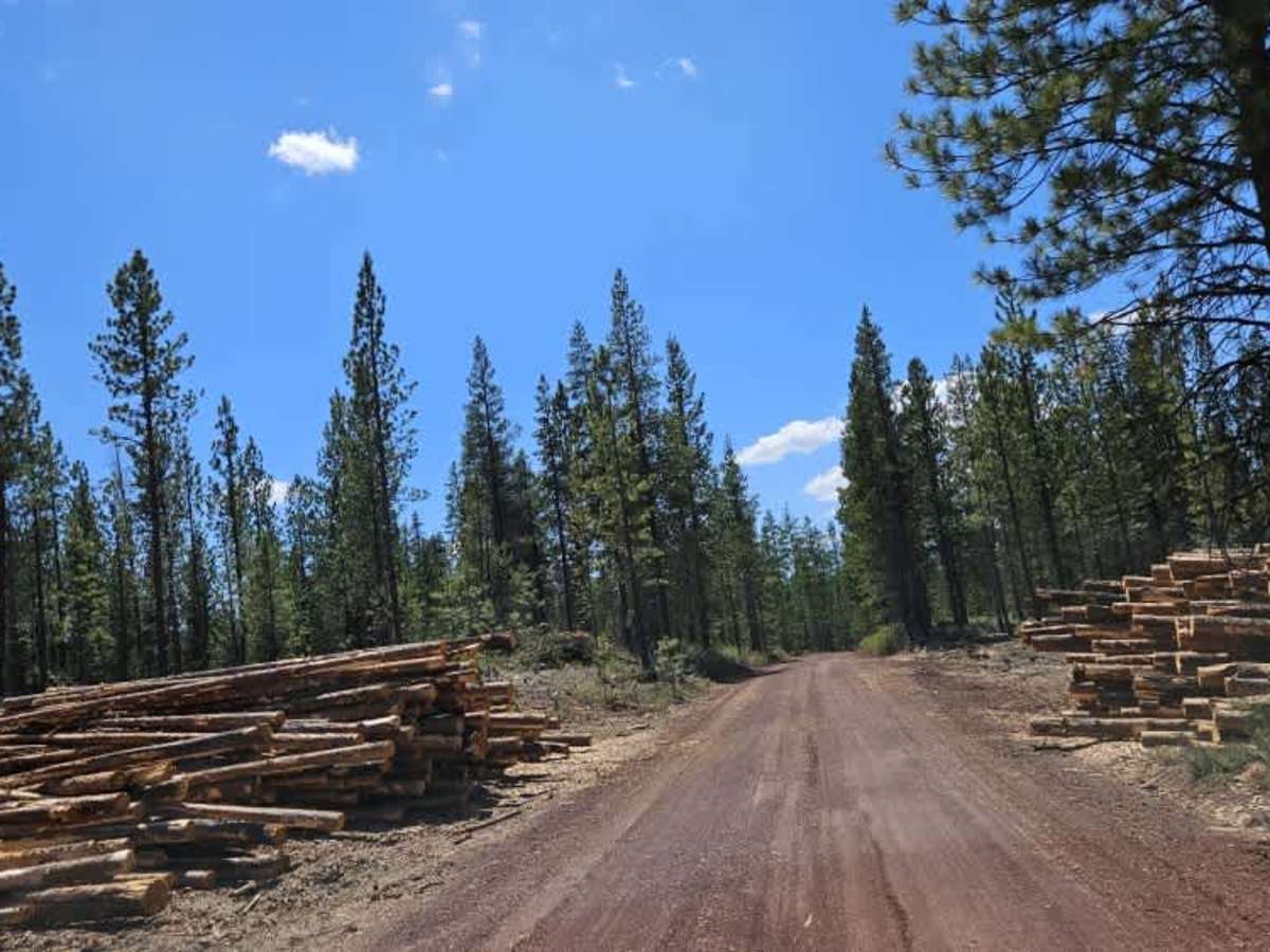
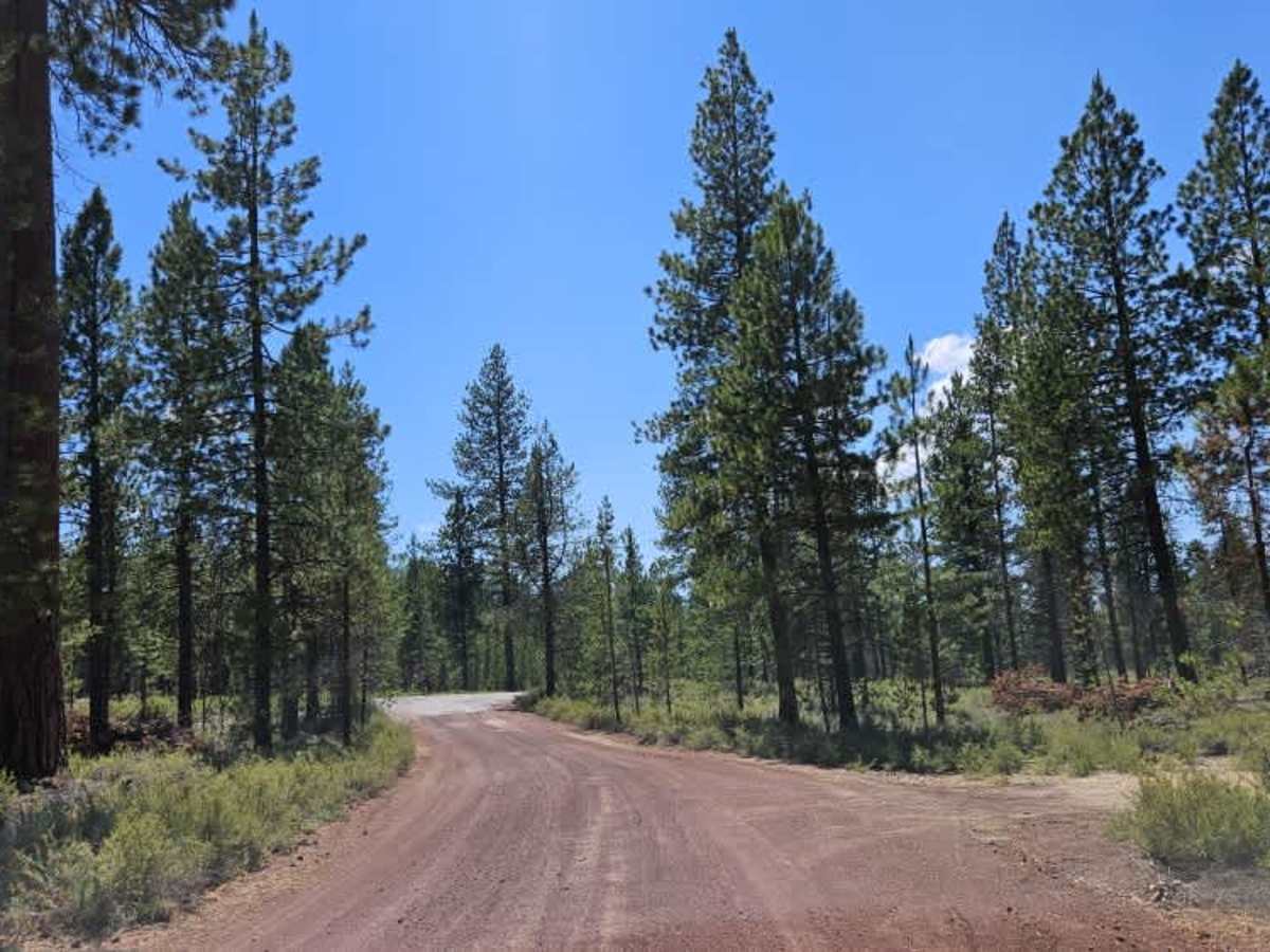
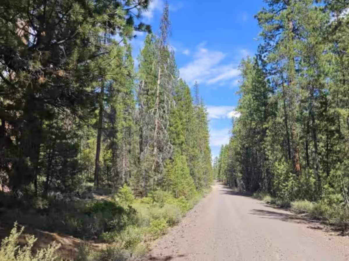
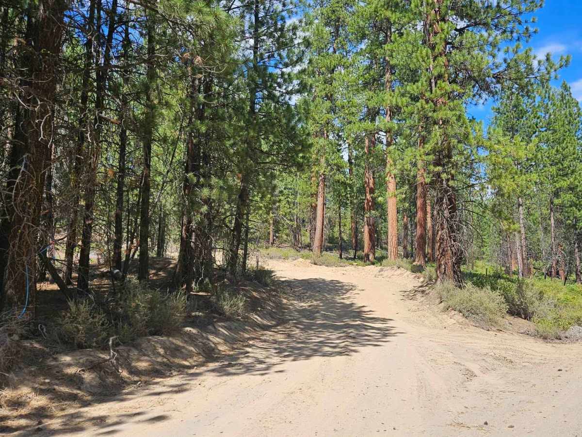
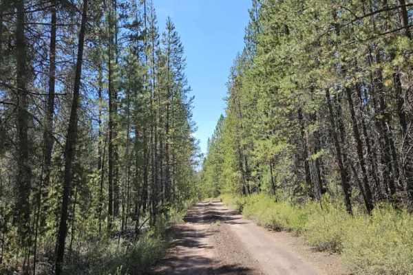
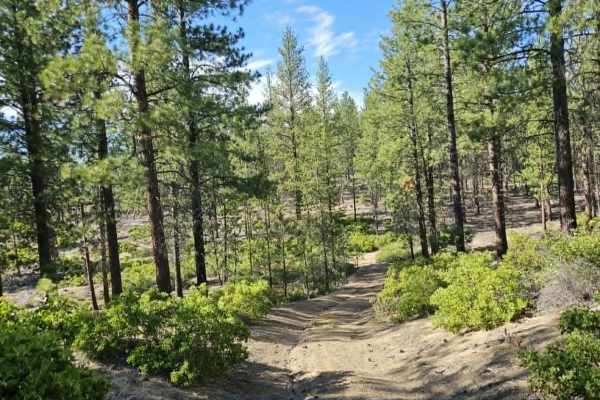
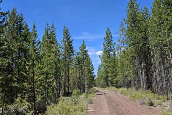
This trail is a very well-maintained red gravel road, wide enough in most places for vehicles to pass comfortably in both directions. Continuing farther into the forest, the trail follows rolling hills and climbs into the mountains while remaining well maintained throughout. It serves as a major arterial route with numerous side trails branching off. Many of these are private, closed, or extremely sandy, but adventurous drivers looking for deep sand will find several suitable routes to explore. Overall, this is an excellent main access road for exploring the surrounding trail network. As an active logging road, firewood collection is prohibited, and drivers should remain alert for logging trucks and other working vehicles. Although traffic was light during the survey, numerous truck tracks indicate regular logging activity. ATVs, UTVs, Side-by-Sides, and Dirt Bikes must always have a valid Oregon ATV Operating Permit sticker.