Trail Overview
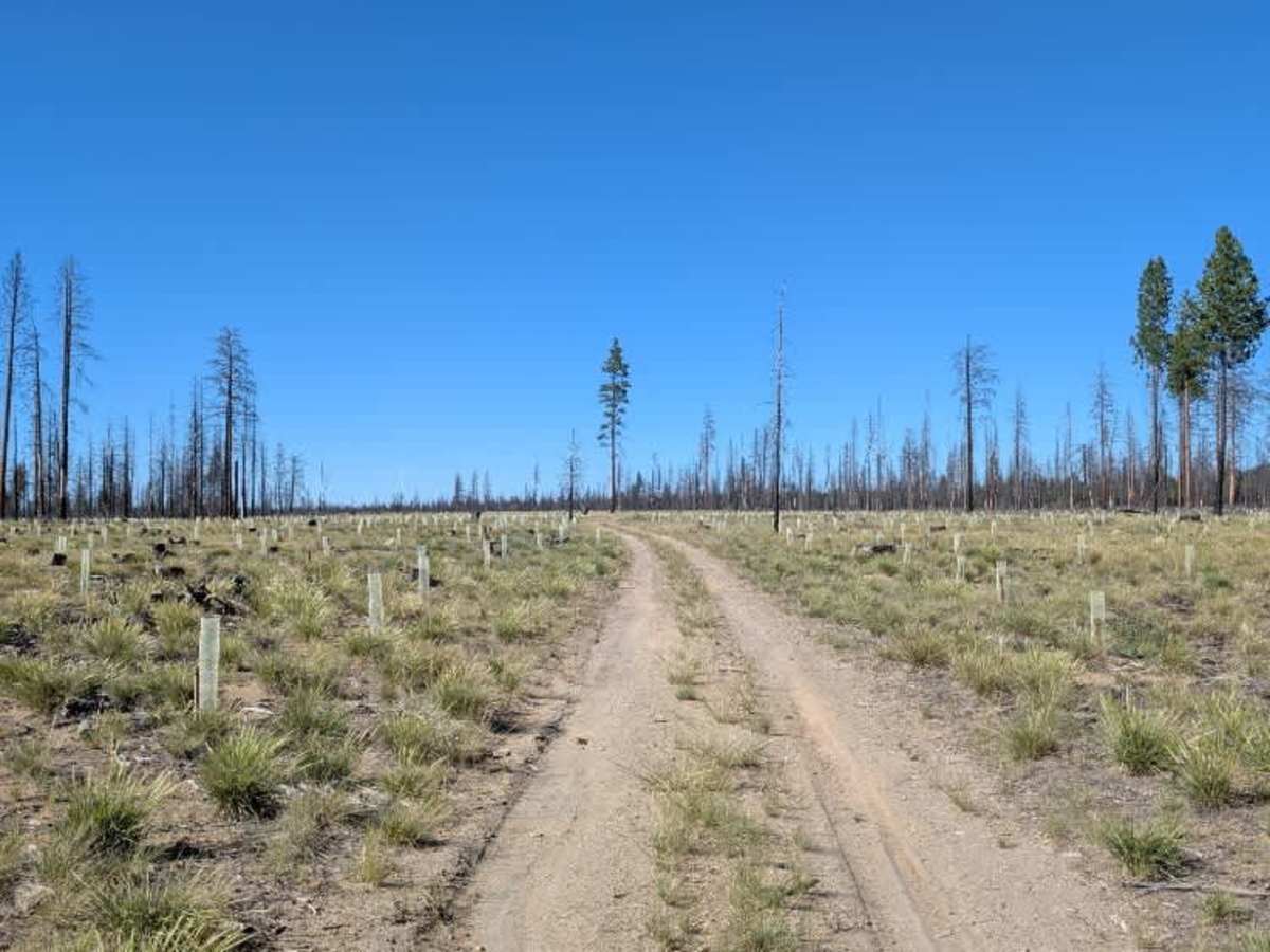
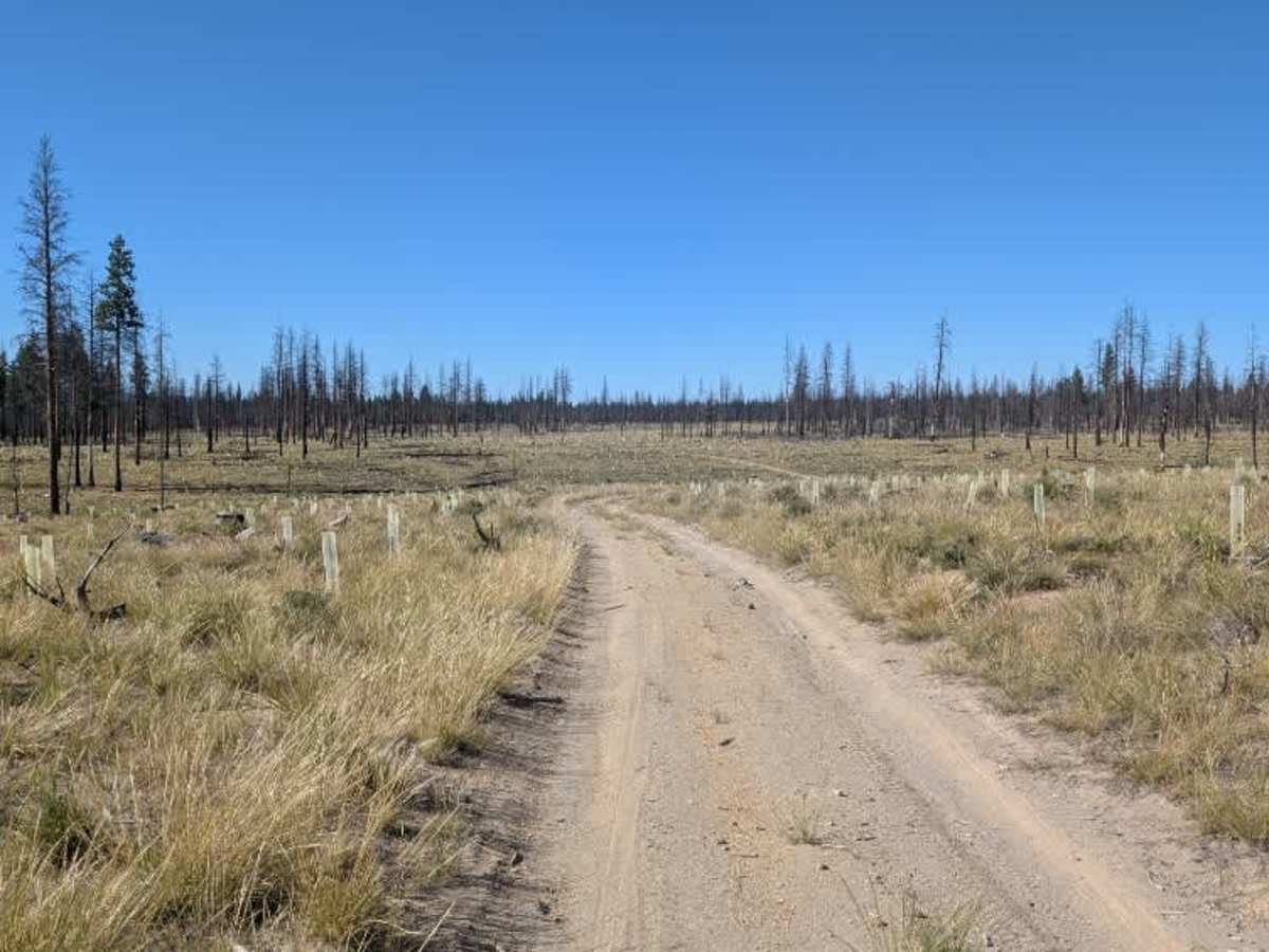
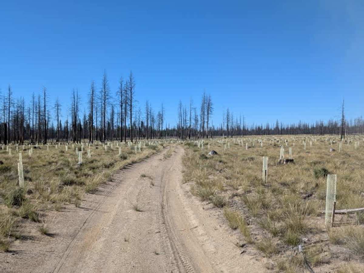
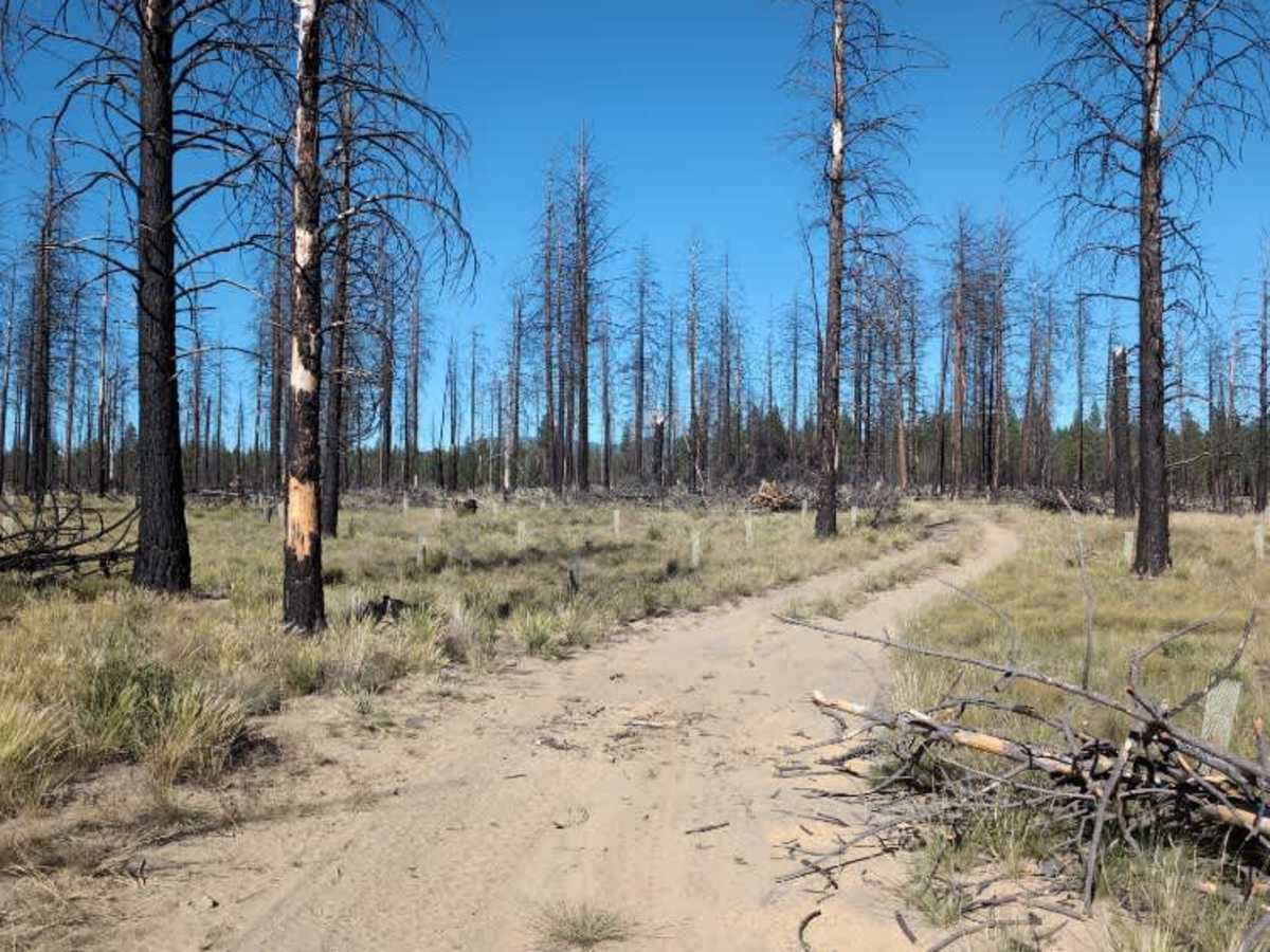
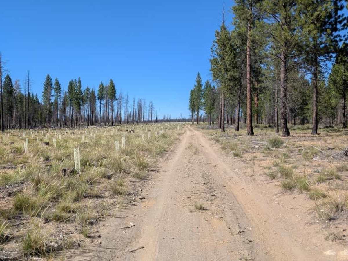
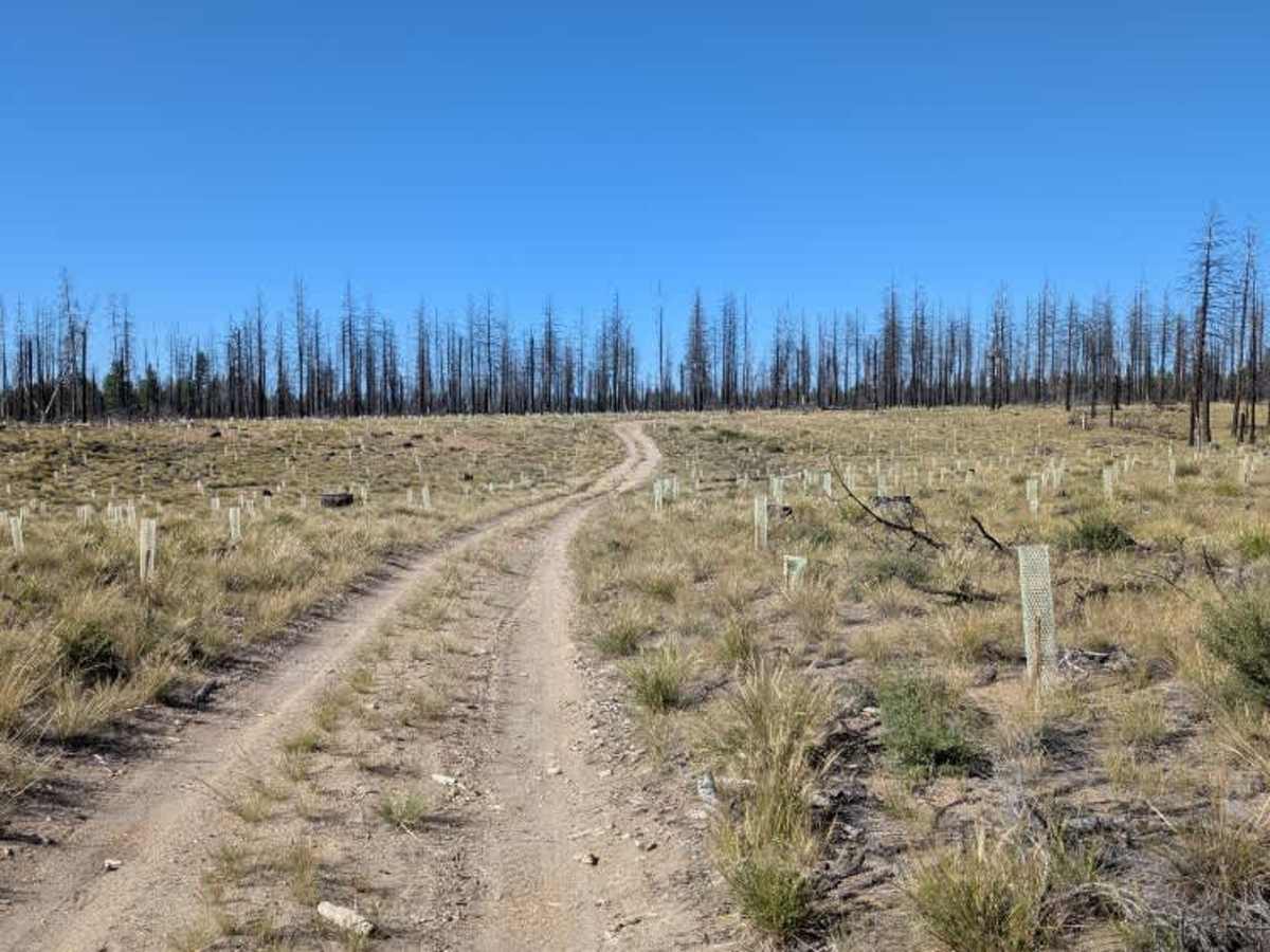
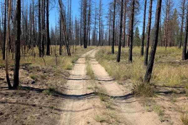
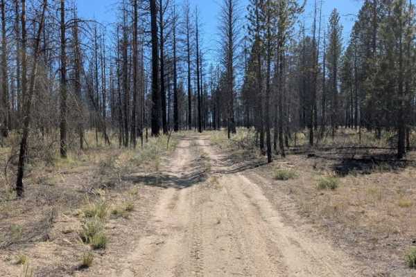
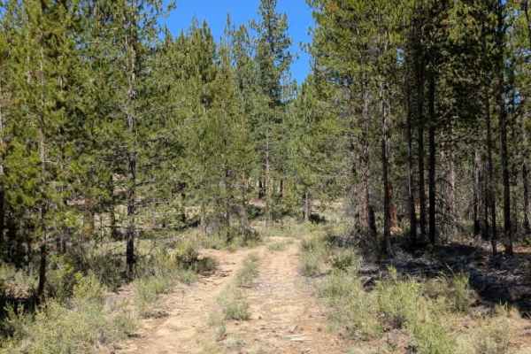
This is a non-maintained sandy dirt road that crosses beneath the power lines before continuing into an area affected by a large wildfire. The route passes through an open, burned landscape where young saplings have begun growing back across the surrounding hills. As the trail continues, the vegetation becomes more established, creating a different feel from the open sections near the beginning. There are some off-camber areas, along with minor ruts and loose sand that add a little challenge to the drive. The route eventually becomes blocked by two trees across the trail. Beyond these, a much larger tree trunk has been placed across the entrance to what appears to be a decommissioned road, likely to prevent vehicle access. Because of the loose surface, uneven sections, and blocked continuation, this trail is best treated as a short out-and-back route rather than a through connection. ATVs, UTVs, Side-by-Sides, and Dirt Bikes must always have a valid Oregon ATV Operating Permit sticker.