FS 2205150

Total Miles0.9
Technical Rating
1Easy
Best TimeSpring, Fall, Summer
Trail TypeFull-Width Road
Accessible By
Open Trail Map

Trail Overview

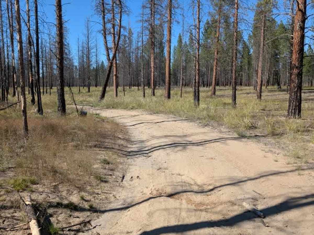
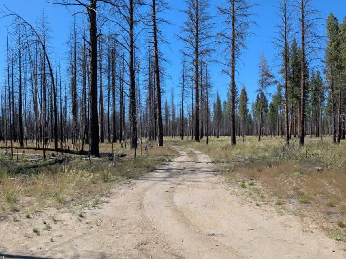
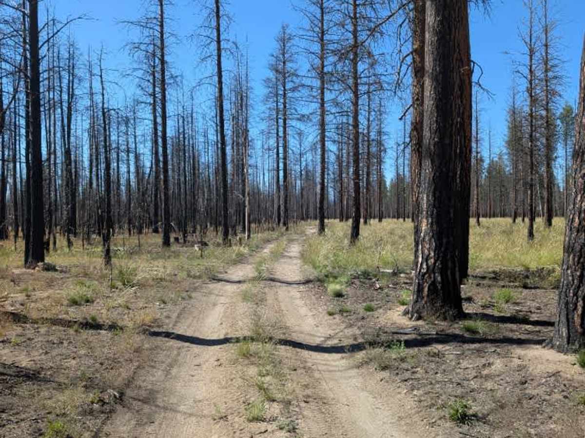
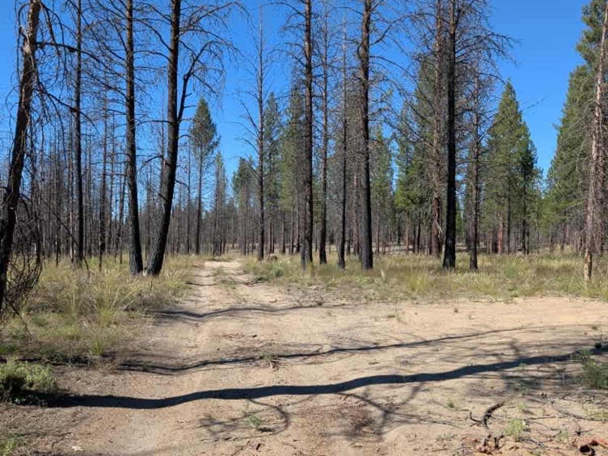
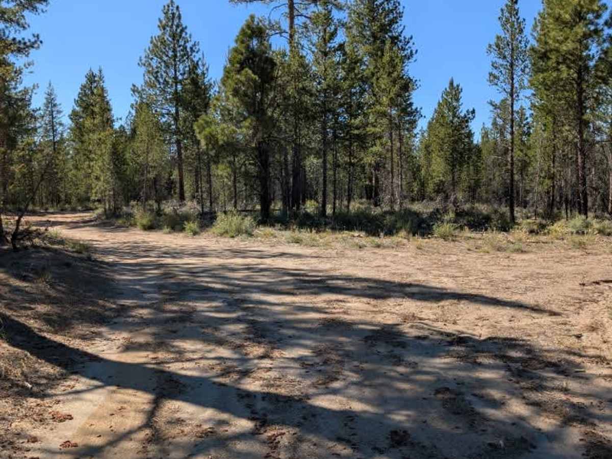
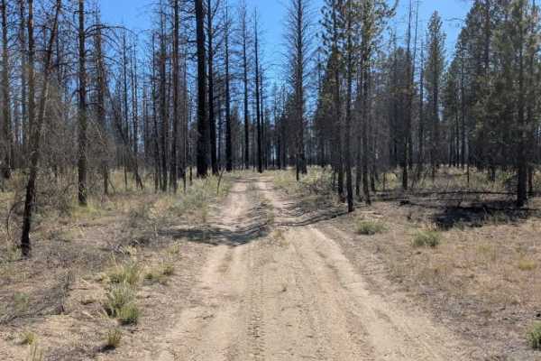
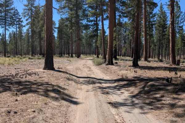
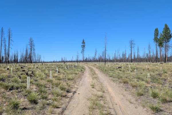
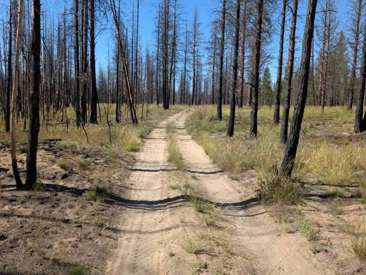
This is an unmaintained trail that connects with another trail leading toward power lines. The route climbs gradually through the forest before ending at a T-junction. The surface is primarily sandy with a few minor ruts and uneven areas, but nothing particularly challenging. The terrain remains fairly manageable and should not present major difficulties for most capable vehicles in good conditions. There is scattered firewood along the route, although there are no obvious designated camping areas. Space to turn around is also very limited, so larger vehicles may need to use extra caution when approaching the end. Overall, this is a short and straightforward extension of the surrounding trail network. ATVs, UTVs, Side-by-Sides, and Dirt Bikes must always have a valid Oregon ATV Operating Permit sticker.

Photos of FS 2205150

Difficulty

The sandy surface and occasional ruts provide the only real challenge, making this an easy route.

Technical Rating

1

FS 2205150 Trail can be accessed by the following ride types:

  • Single Track
  • 50 Inch
  • 60 Inch
  • High Clearance
  • Full Width

FS 2205150 Map

The onX Offroad Difference

onX Offroad combines trail photos, descriptions, difficulty ratings, width restrictions, seasonality, and more in a user-friendly interface. Available on all devices, with offline access and full compatibility with CarPlay and Android Auto. Discover what you're missing today!

Open Trail Map