Trail Overview
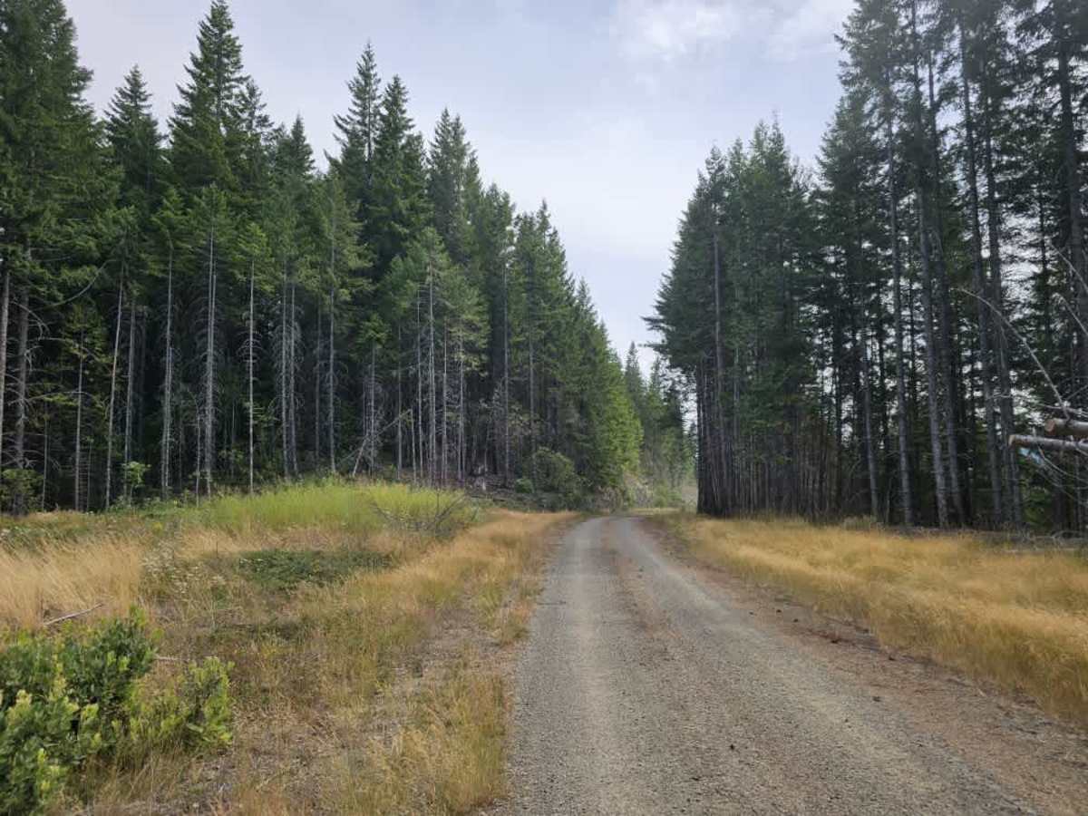
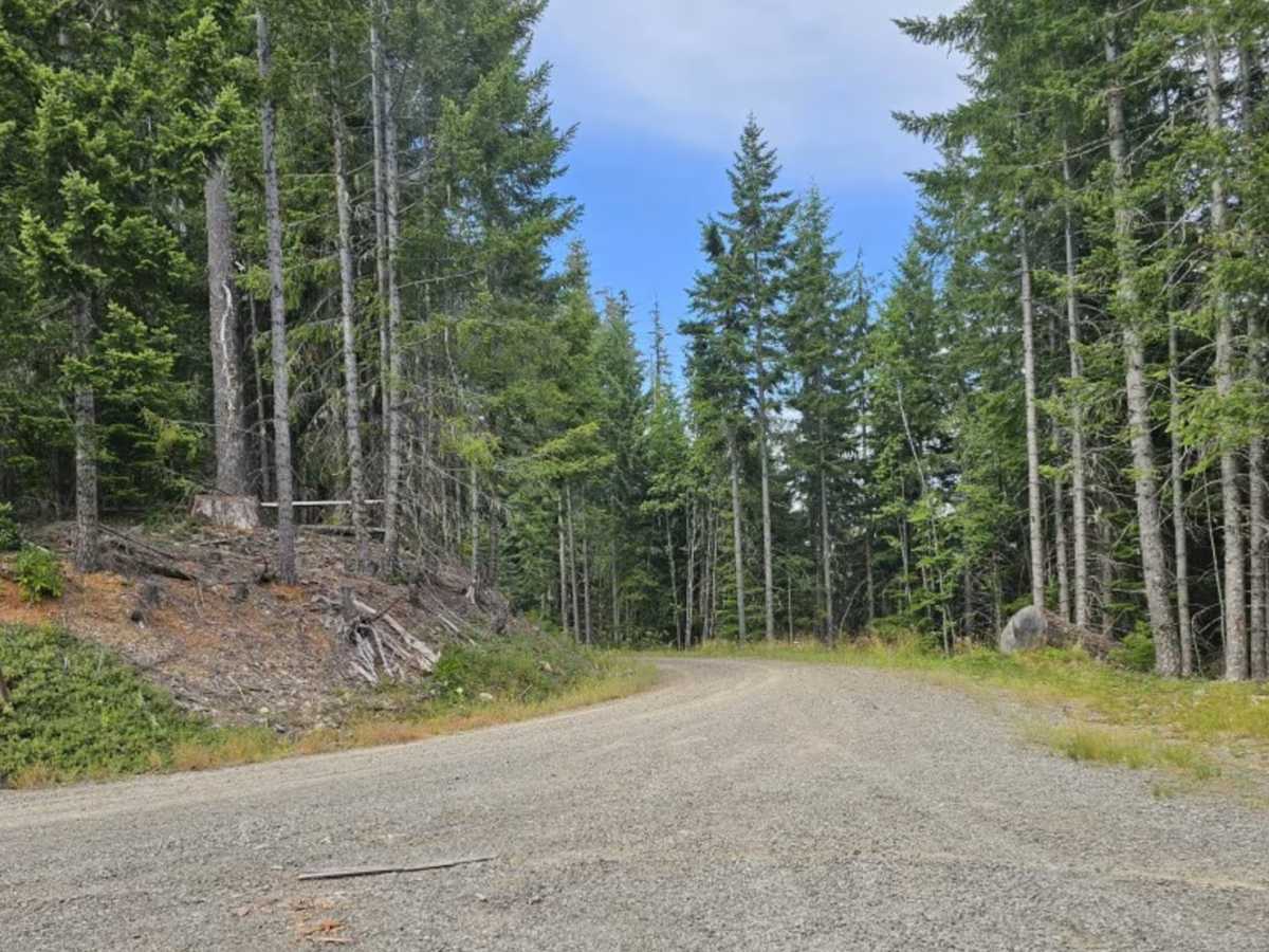
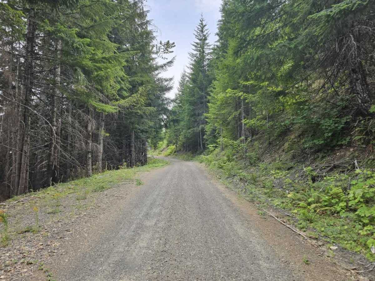
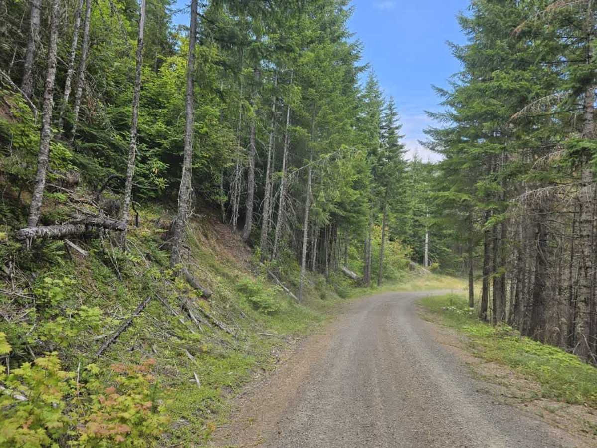
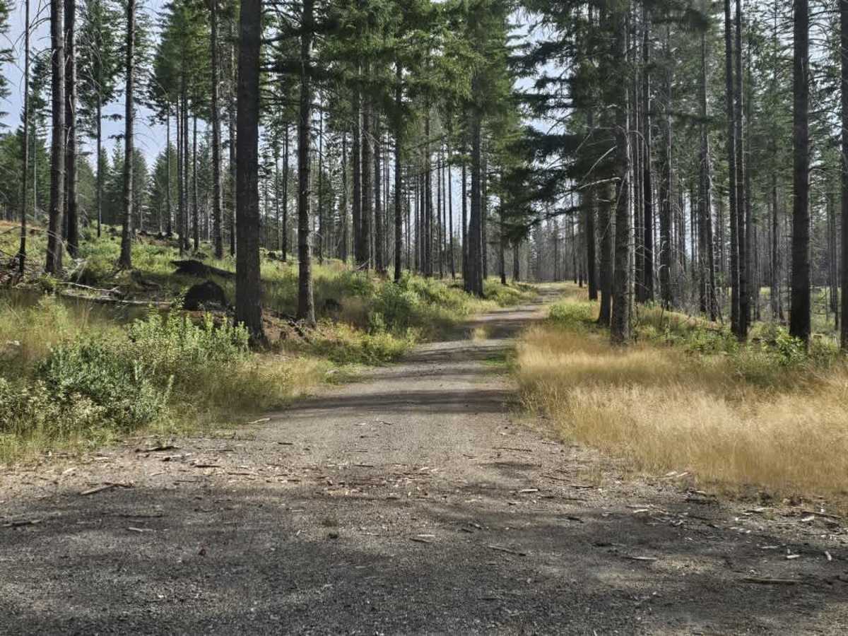
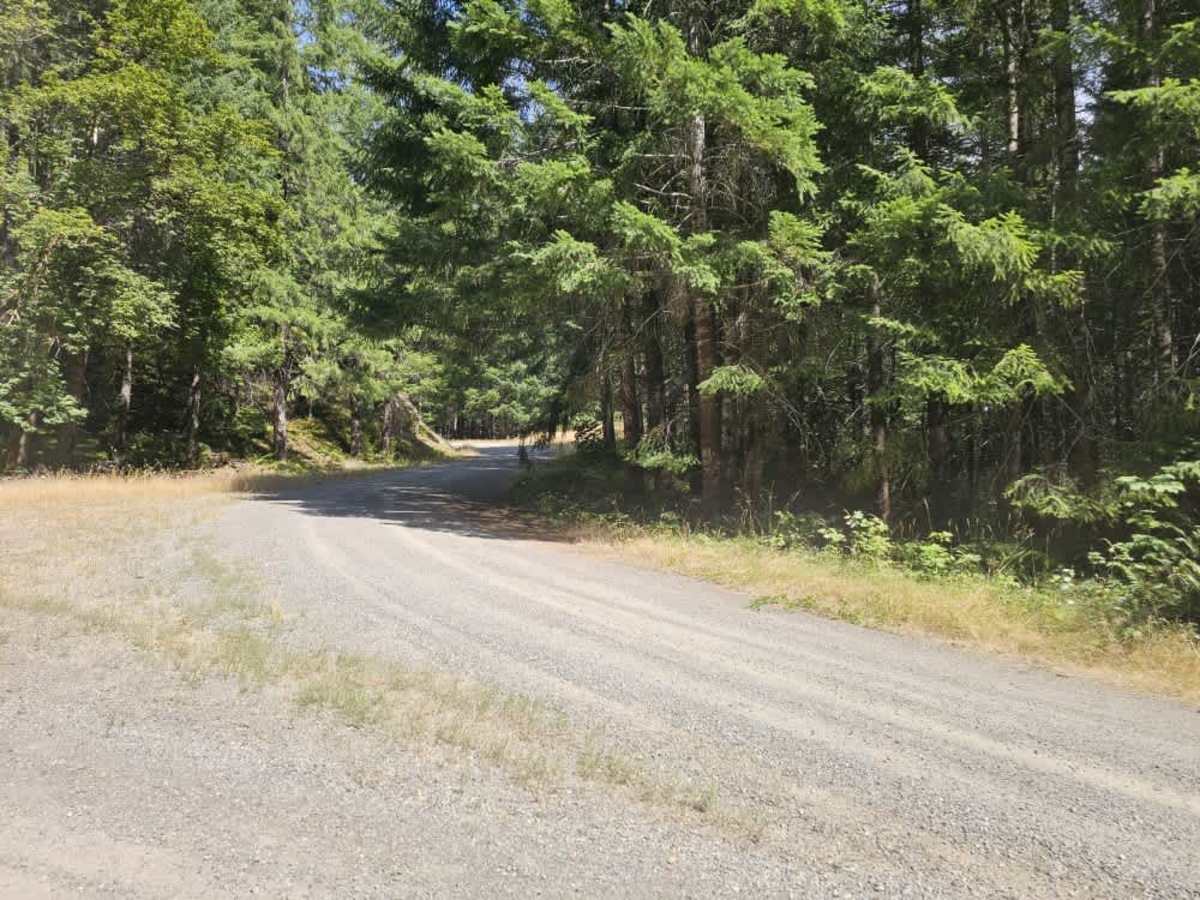
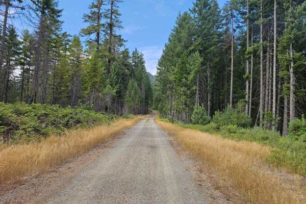
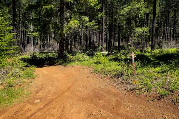
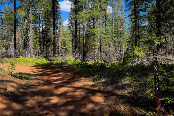
This trail climbs steadily up the mountain, beginning as a smooth gravel road with only occasional corrugation. The lower section winds through a beautiful forest with plenty of ferns and dense vegetation, and there are very few side routes at first. As the road gains elevation, more spur trails branch off the main route. The middle section becomes less maintained, with tall grass growing through the center of the road and some overgrowth along the edges. Fallen logs and branches may also be present, so keep an eye out for obstacles as you continue uphill. The route remains gravel and includes numerous switchbacks as it climbs toward higher elevations. Sections of burned forest, along with rocks of various sizes and fallen trees, may also be scattered across the roadway. The trail eventually reaches Alpine Ridge (FS 1912) and provides a useful connection to the surrounding routes. There may be opportunities for dispersed camping along some side trails, but confirm access before setting up camp. ATVs, UTVs, Side-by-Sides, and Dirt Bikes must always have a valid Oregon ATV Operating Permit sticker.
Difficulty
Corrugation, increasing overgrowth, fallen debris, and scattered rocks are present as the trail climbs into the mountains.