Trail Overview
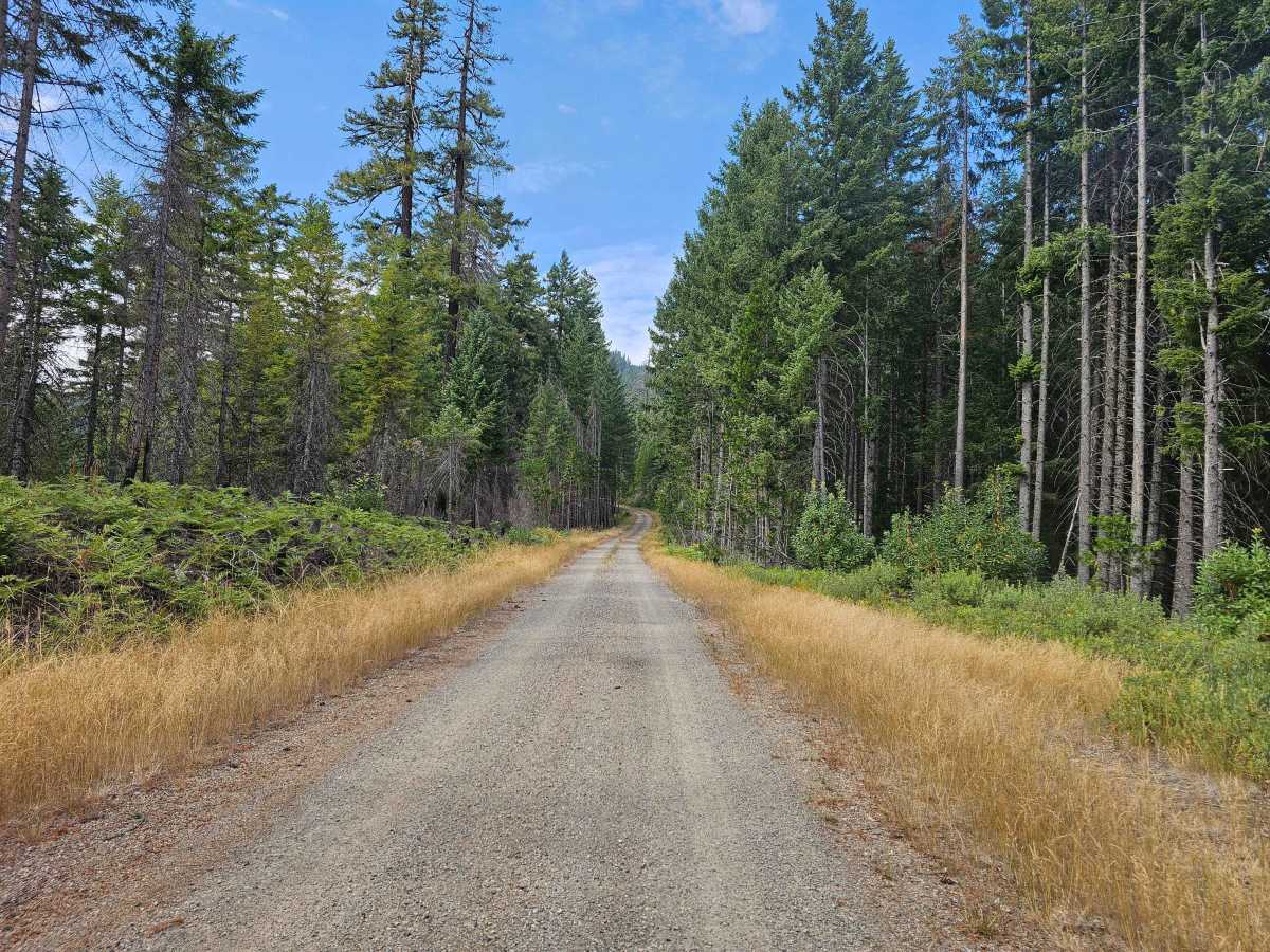
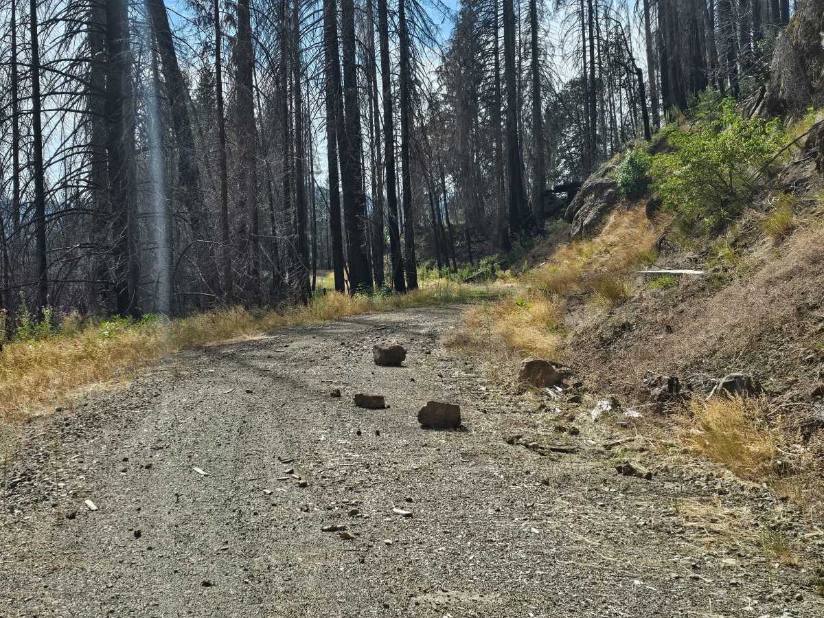
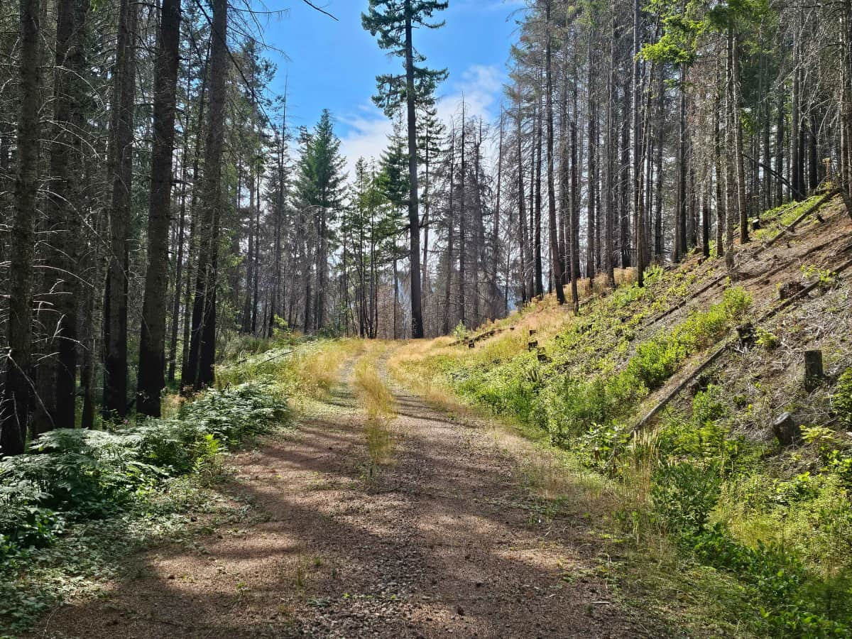
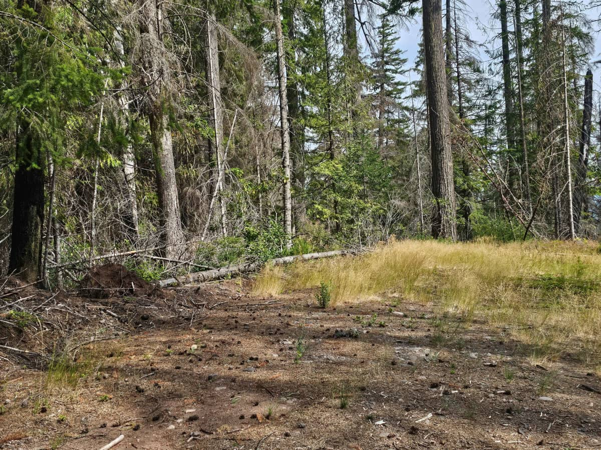
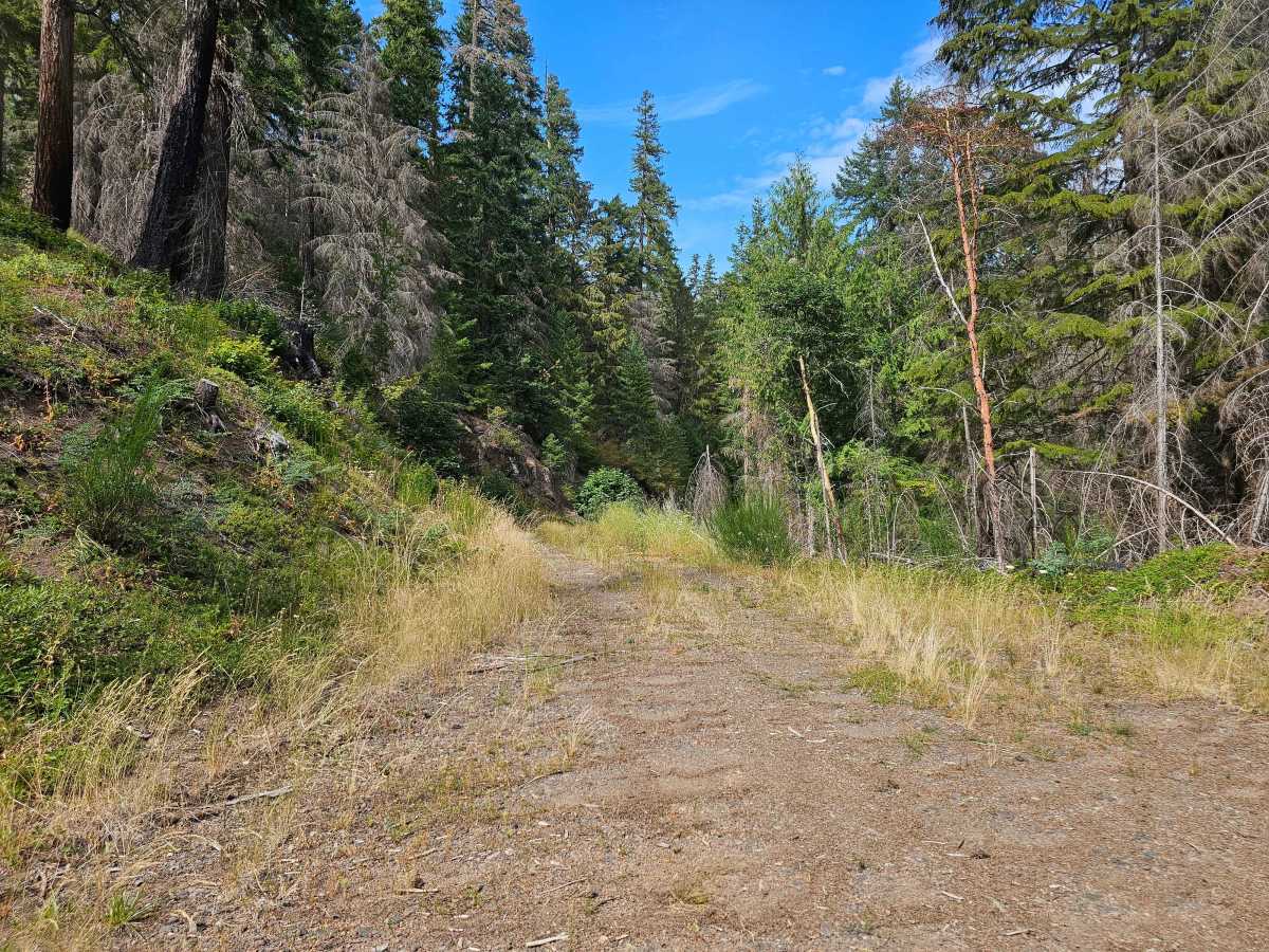
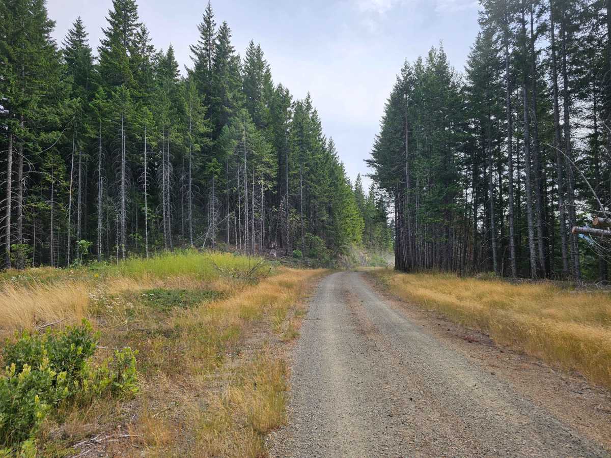
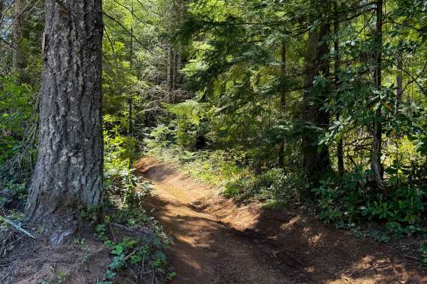
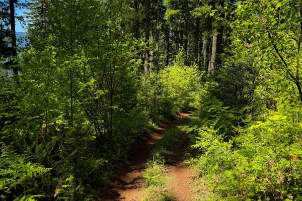
This winding gravel road climbs through the forest, with a mix of gentle and steeper ascents and descents. The surface is mostly smooth, but the trail appears to receive limited use and has become fairly overgrown in places. Tall, dry grass grows through the center of the road, particularly along some of the less-traveled sections, so extra caution is needed during the dry summer months. Several steep drop-offs line the route, along with fallen trees and rocks that can appear on the roadway. The trail passes through a burned area that creates a stark contrast with the surrounding forest before returning to thicker vegetation and overgrowth farther along. Near the end, the road reaches a clearing where there may be enough space for dispersed camping, but confirm it’s permitted before setting up. The mapped route continues beyond the clearing, but it becomes heavily overgrown and is not recommended for vehicle travel, particularly when the grass is tall and dry. ATVs, UTVs, Side-by-Sides, and Dirt Bikes must always have a valid Oregon ATV Operating Permit sticker.
Difficulty
This is a quiet, interesting forest trail with beautiful scenery, but the overgrowth, dry vegetation, and mountain terrain warrant extra care.