
FS 1825
Total Miles7
Technical Rating
1Easy
Best TimeSpring, Summer, Fall
Trail TypeFull-Width Road
Accessible By
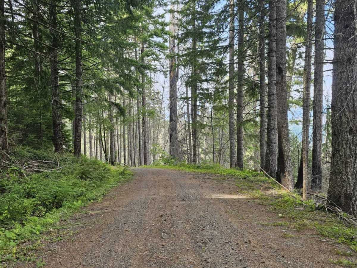
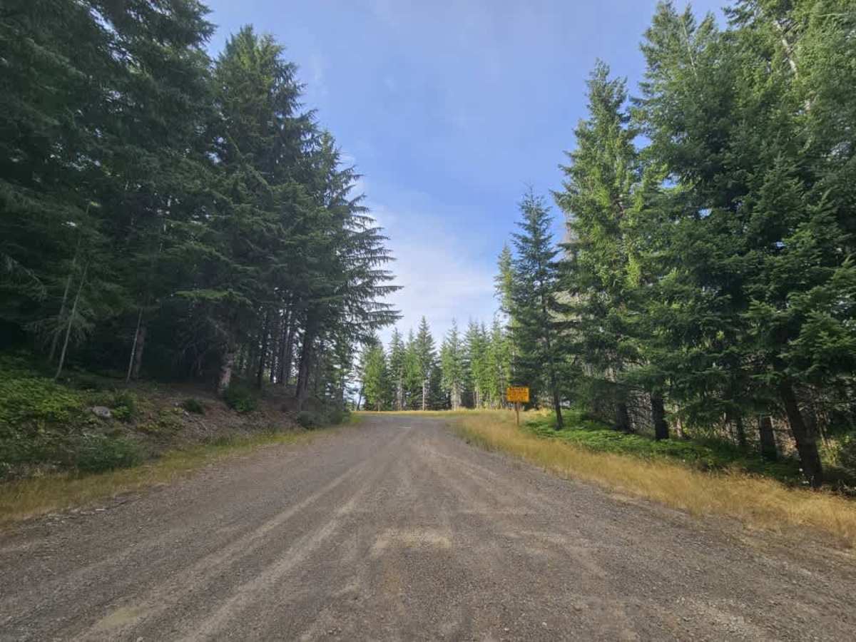
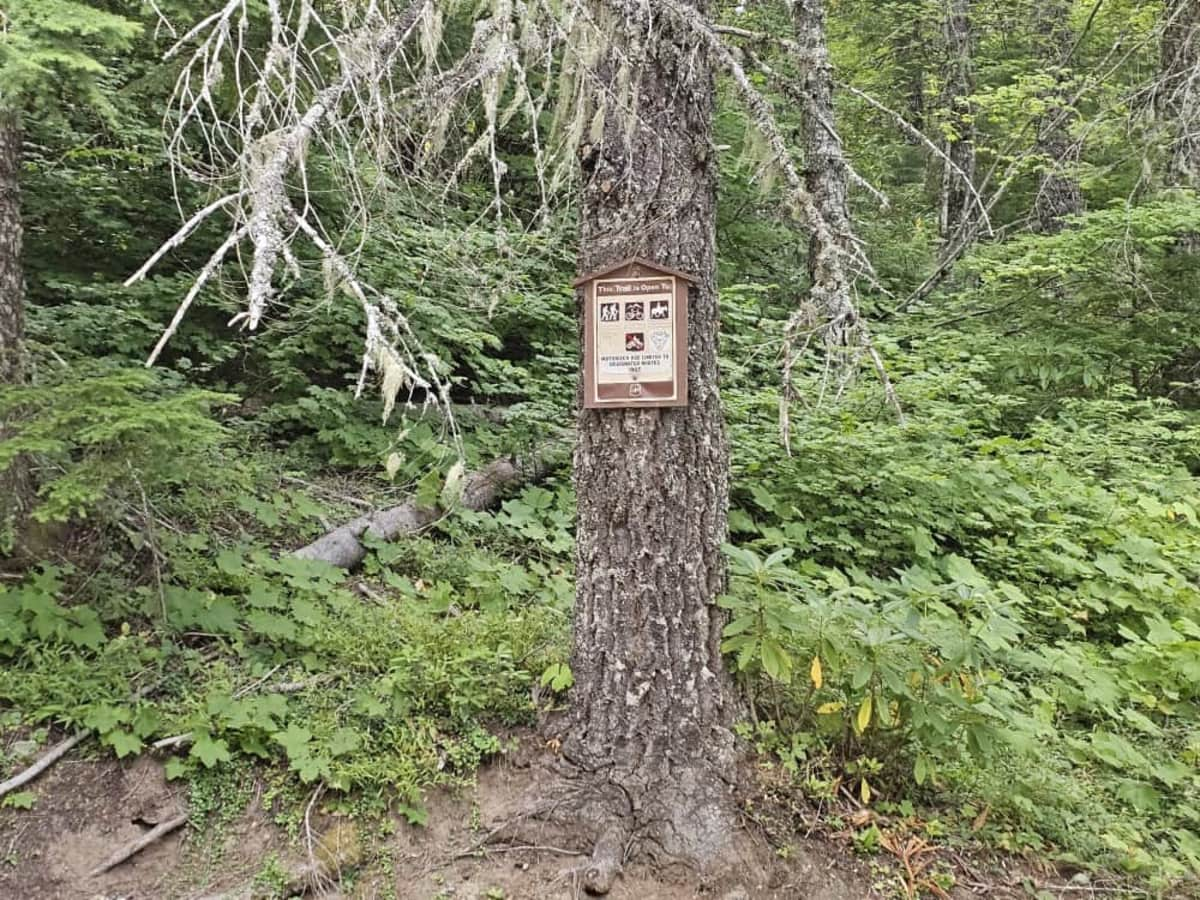
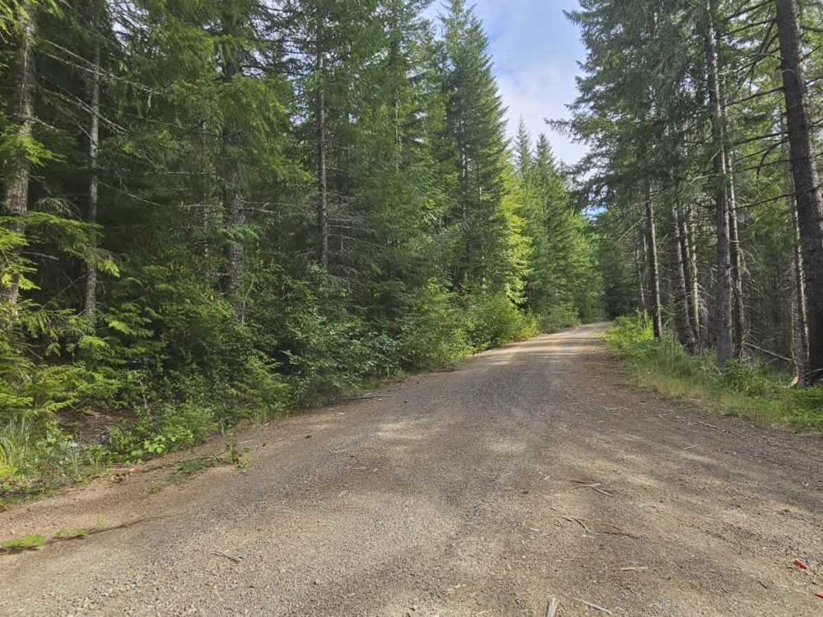
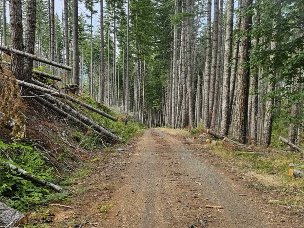
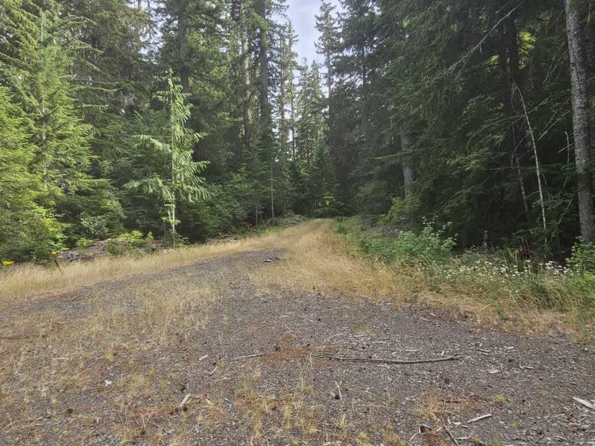
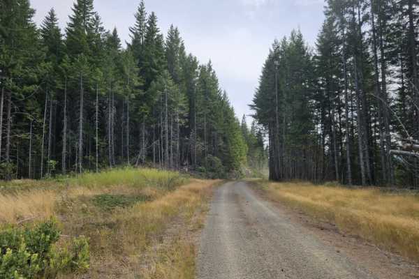
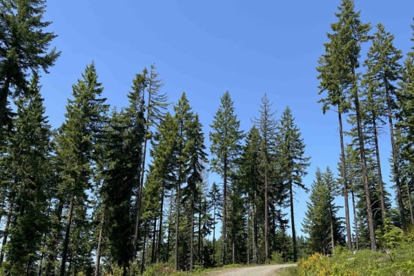
onX Offroad combines trail photos, descriptions, difficulty ratings, width restrictions, seasonality, and more in a user-friendly interface. Available on all devices, with offline access and full compatibility with CarPlay and Android Auto. Discover what you're missing today!
Open Trail Map Offroad
Create a free account to open the full trail map, routes & elevation, offline navigation, and community reports.
Already have an onX account? Log in
By continuing you agree to our terms of use.