Trail Overview
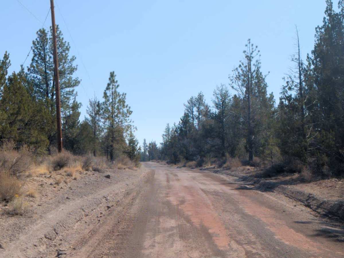
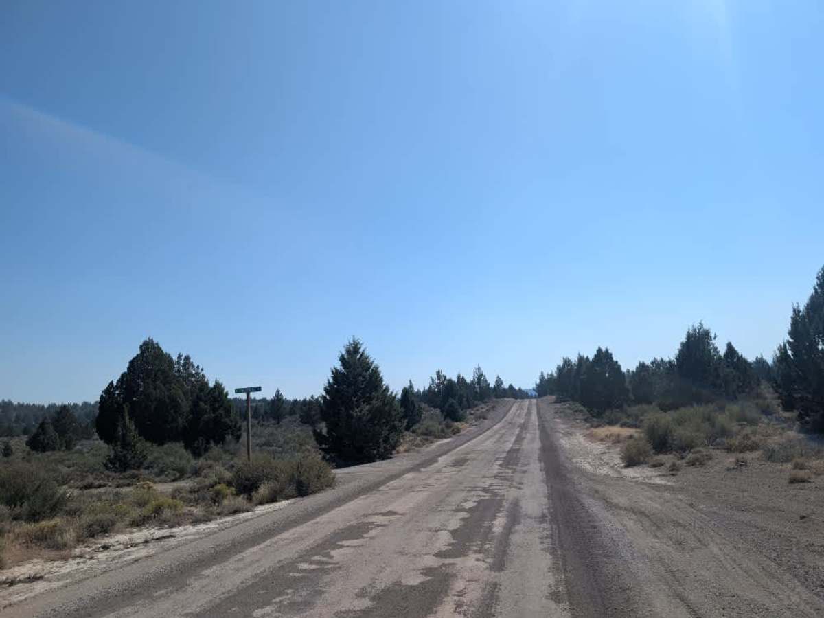
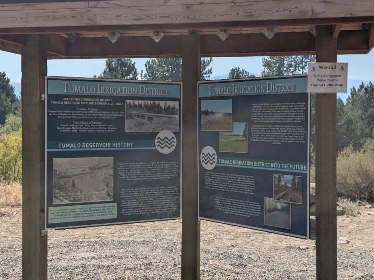
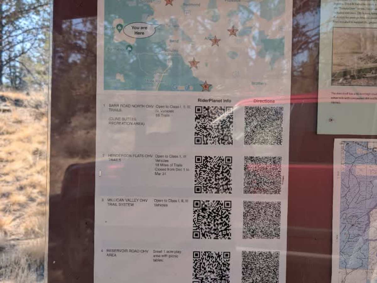
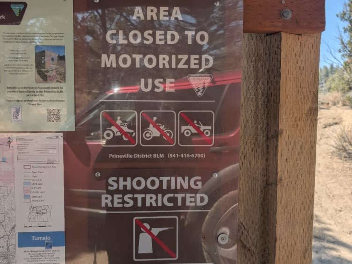
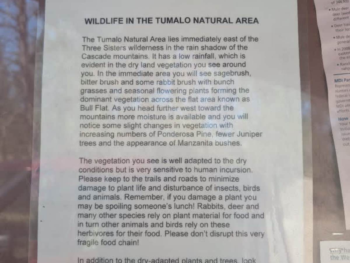
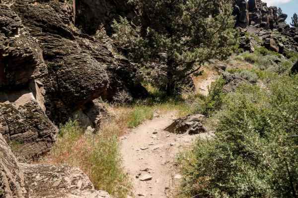
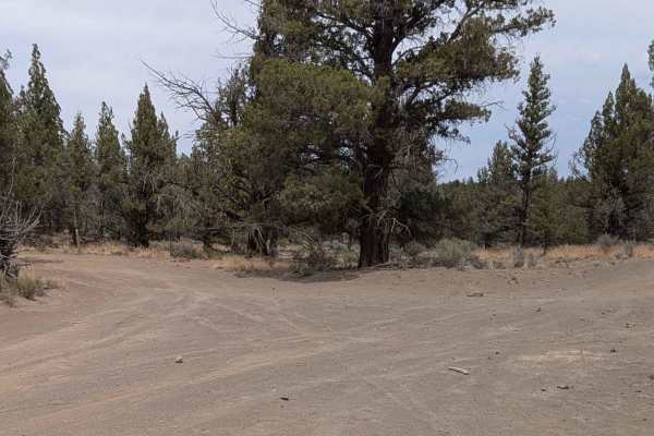
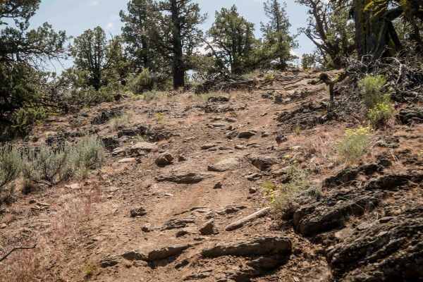
This is a well-maintained gravel road that passes numerous ranches and private properties while running alongside the Tumalo Natural Area. Several places along the route let you pull off to access or enjoy the surrounding area, although motorized entry into the natural area, including ATVs and SxSs, is currently restricted due to fire danger. Check current seasonal restrictions before traveling. The road itself is generally smooth and well-maintained, with beautiful outlooks and views along the way as well as areas of historical interest. Information kiosks at both ends of the route provide additional information about the history of the Tumalo Historical Monument and the natural area. The road ends after crossing a narrow bridge, where three routes branch off. The main road becomes quite rough and rocky near the endpoint. Only two of the continuing routes appear on the MVUM, while the others may be horse trails or newer routes. Please check current maps and signage before continuing. ATVs, UTVs, Side-by-Sides, and Dirt Bikes must always have a valid Oregon ATV Operating Permit sticker.
Difficulty
The trail is generally easy, with a smooth surface and a rougher, rockier section near the endpoint.


 Offroad