Trail Overview
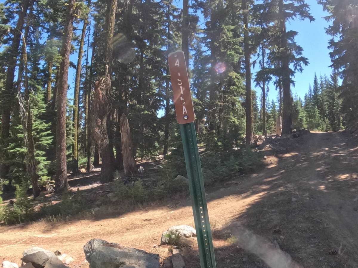
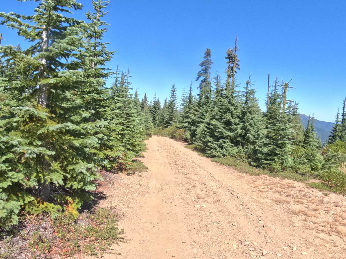
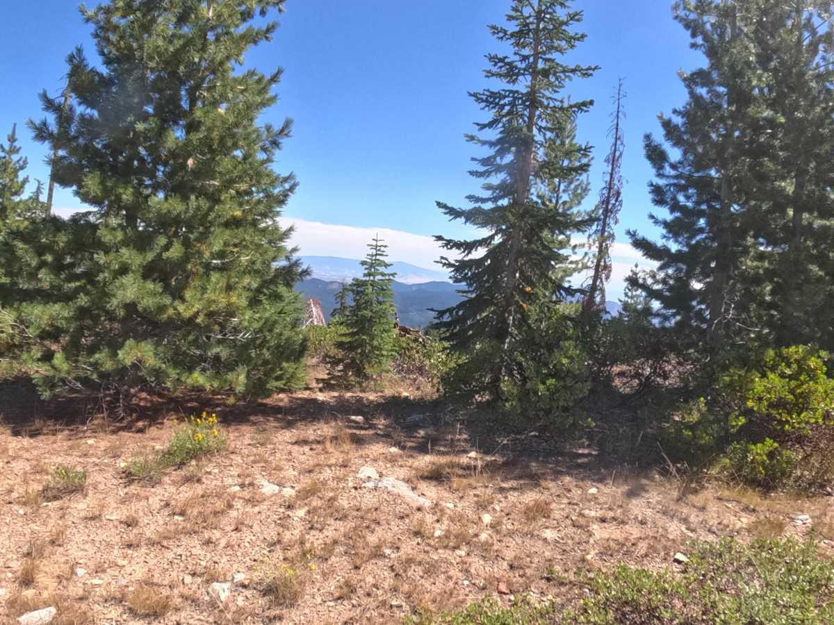
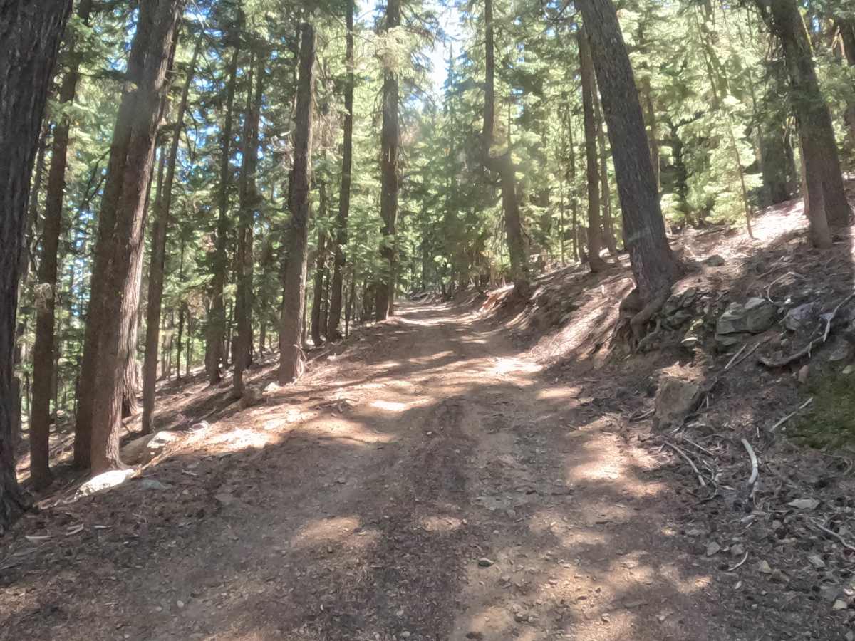
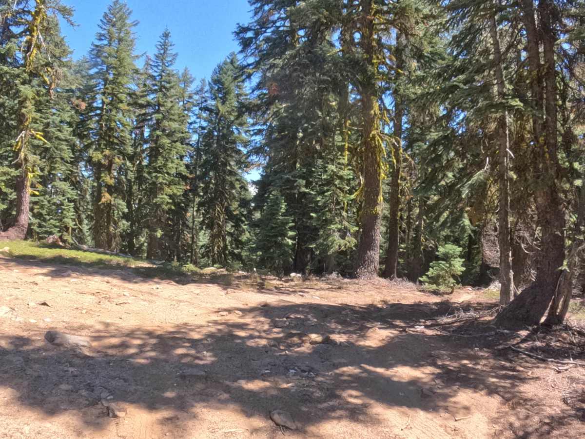
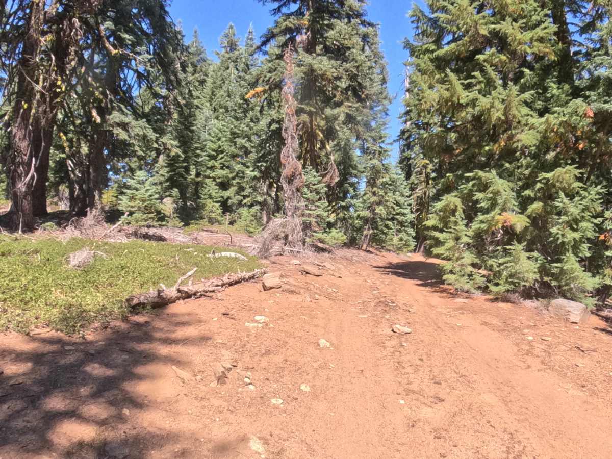
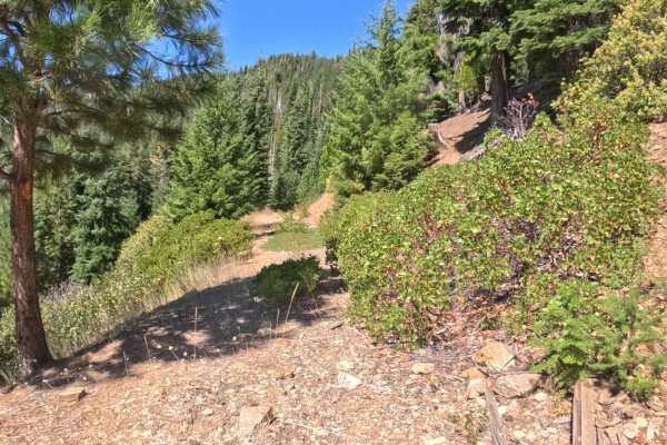
Deer Creek Ridge - FS 4S15A branches off the forest road network in the Siskiyou Mountains and climbs steadily along an exposed ridge within the Rogue River-Siskiyou National Forest, gaining close to 500 feet over roughly a mile of travel. It functions as a dead-end spur rather than a through-connector, so the trip back down retraces the same ground rather than looping out anywhere new. Conifer forest lines the lower stretches before thinning near the top, where the trees open into sweeping views of Mount Ashland and the valleys beyond, likely the main draw for making the climb in the first place. The compact, sun-baked dirt surface is peppered with loose embedded stone throughout, and a handful of chunkier rocks and short ledges, some close to a foot tall, punctuate the route without ever blocking it outright. Grades hold in the 5 to 10 percent range for most of the way up, and the road narrows to a single lane in spots, so blind corners deserve a slower approach, particularly near the summit where sightlines shrink. Best tackled from summer through fall, once the higher elevations have shed their snow.
Difficulty
Rated a 2, a score shaped almost entirely by surface and grade rather than any single defining obstacle. The dirt tread carries embedded rock from bottom to top, and the occasional larger stone or short ledge, up to about a foot in height, adds texture without ever forcing a deliberate maneuver. Layered sustained 5-10% grades on top of that loose surface, and traction can feel thin in spots, which is the main reason the rating sits where it does rather than lower. Nothing on the route rises to the level of a true technical challenge, so it holds at a 2.

 Offroad