Trail Overview
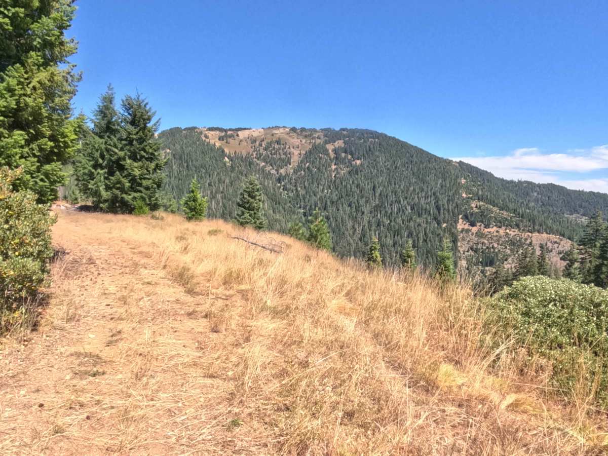
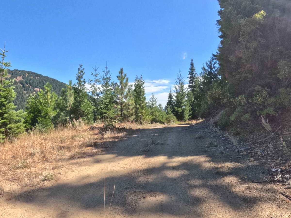
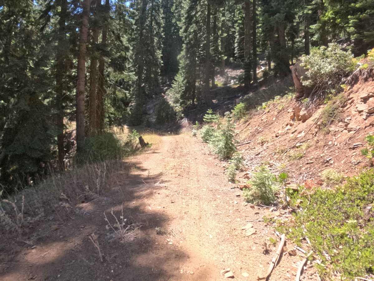
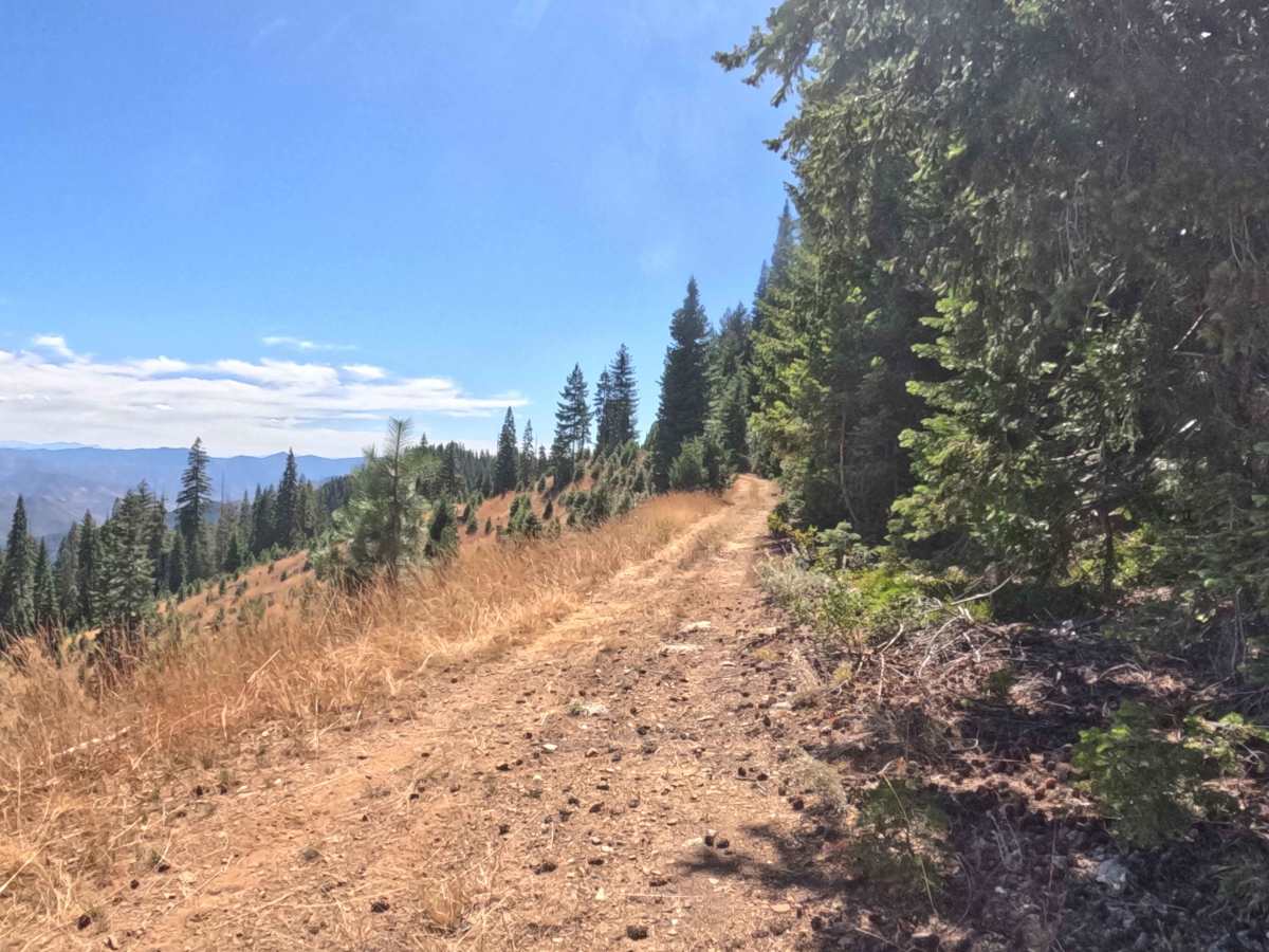
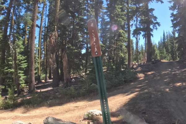
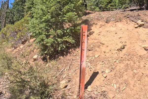
Joined off Trapper Point Road (FS 48N13), Trapper View (FS 48N17) functions as an elevated mountain spur providing transit deeper into the high country of the Klamath National Forest. The route contours along steep mountain flanks through a mixed-conifer timberland of Douglas firs and incense cedars before breaking out into sun-drenched, open hillside slopes. Recreationists and overland travelers utilize this scenic shelf road primarily for nature viewing, hunting access, and admiring sweeping vistas of the surrounding peaks and southern valleys. Because no Forest Service trail sign marks the entrance off the main corridor, drivers should watch closely for the turnoff. The driving surface consists of a narrow, single-lane, hard-packed granite forest road holding an accessible Grade 2 difficulty rating. Contour lines remain relatively level throughout the drive, but tight bench turns with limited forward visibility require caution, especially where the track narrows along the hillside. Offering impressive high-elevation panoramas, this picturesque route continues beyond the mapped portion.
Difficulty
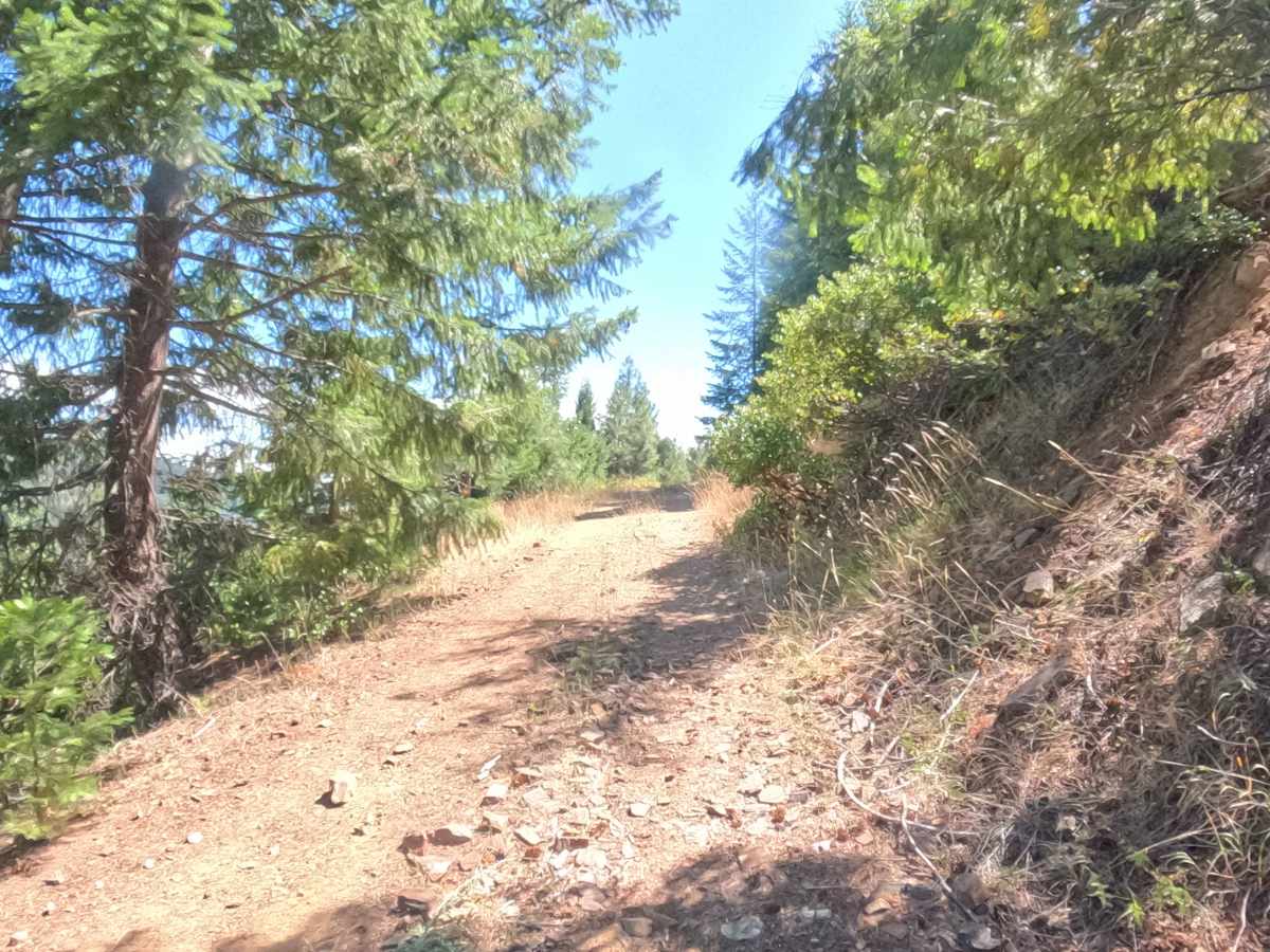
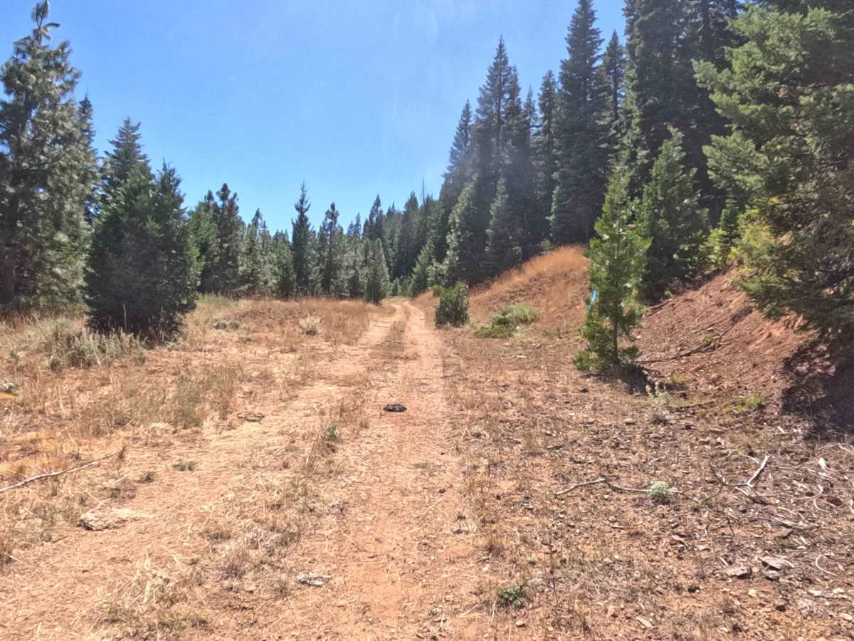
Securing a Grade 2 difficulty rating, this narrow mountain spur provides a solid, predictable base with minimal elevation change. Severe terrain hazards such as deep mud ruts, large rock steps, or dangerous washouts are non-existent. The primary driving considerations involve managing thin layers of loose granite gravel along bench curves and maintaining slow, controlled momentum through blind corners where sightlines are limited by hillside cuts and timber. Standard factory ground clearance is entirely sufficient to navigate the firm tread and complete the drive safely.

 Offroad