Trail Overview
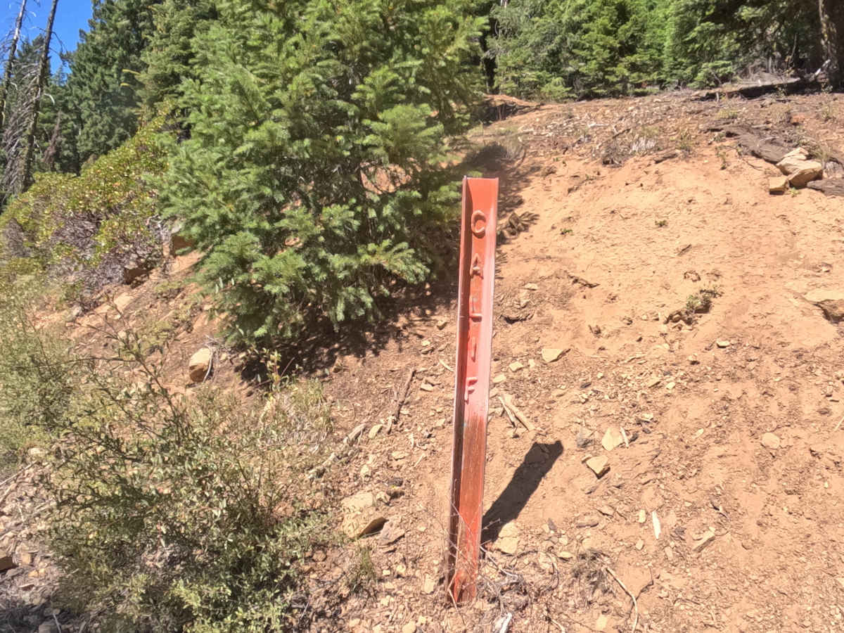
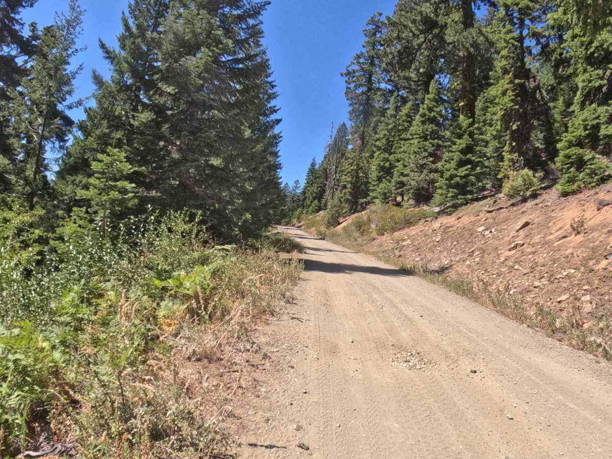
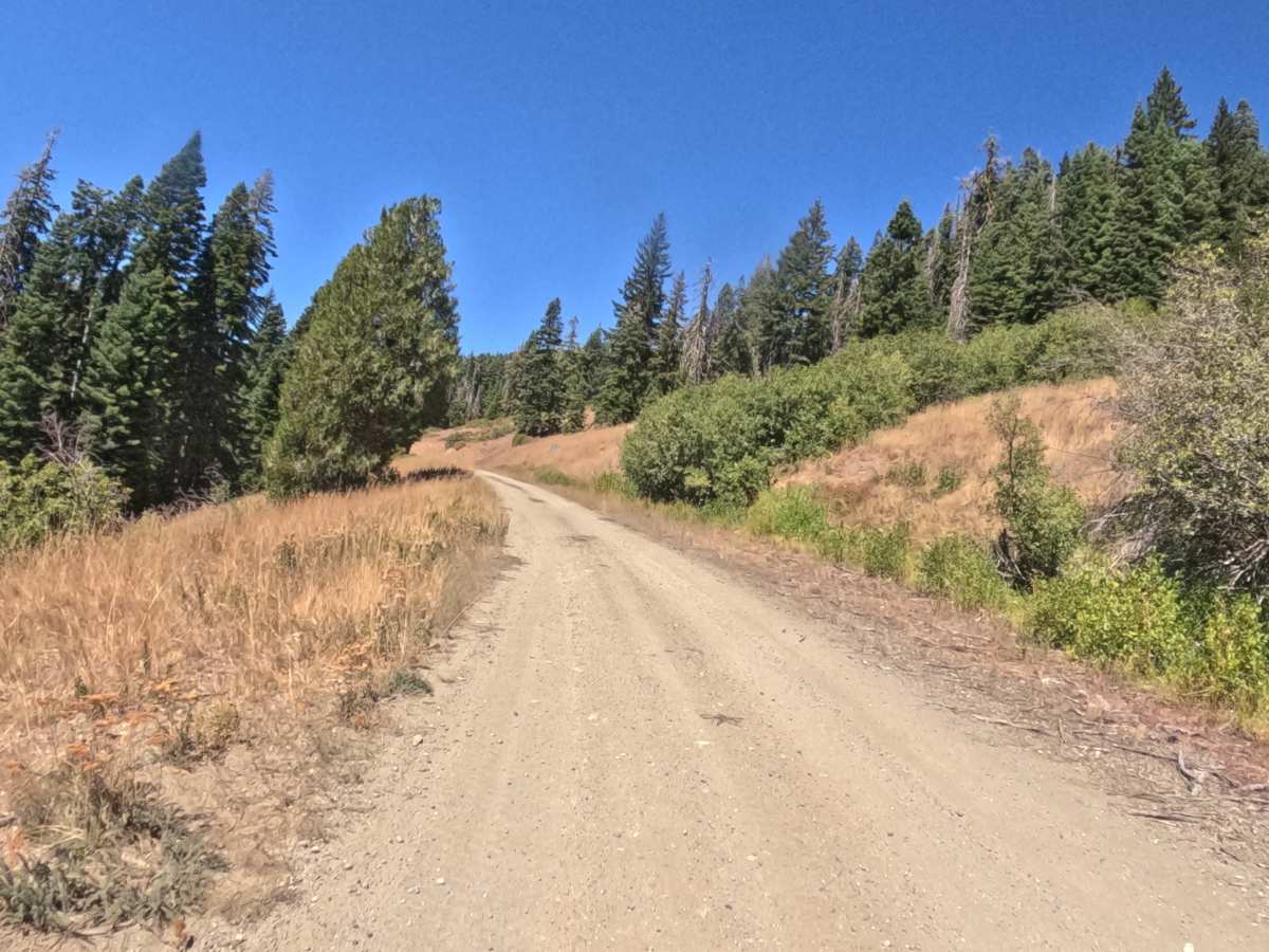
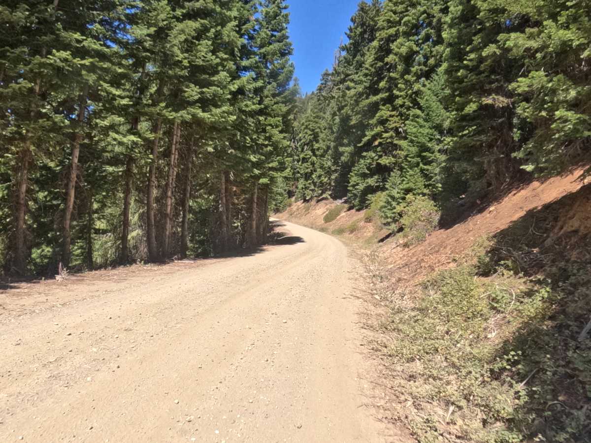
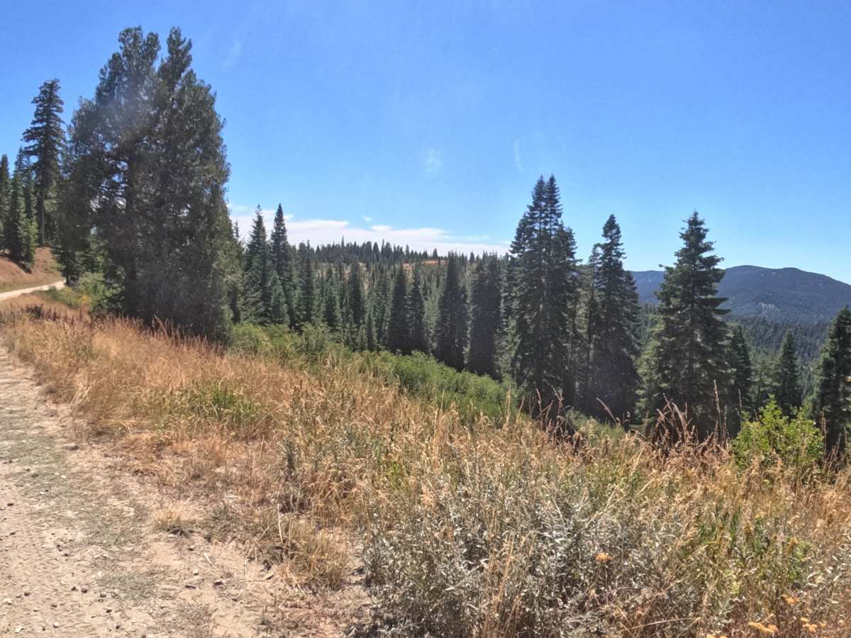
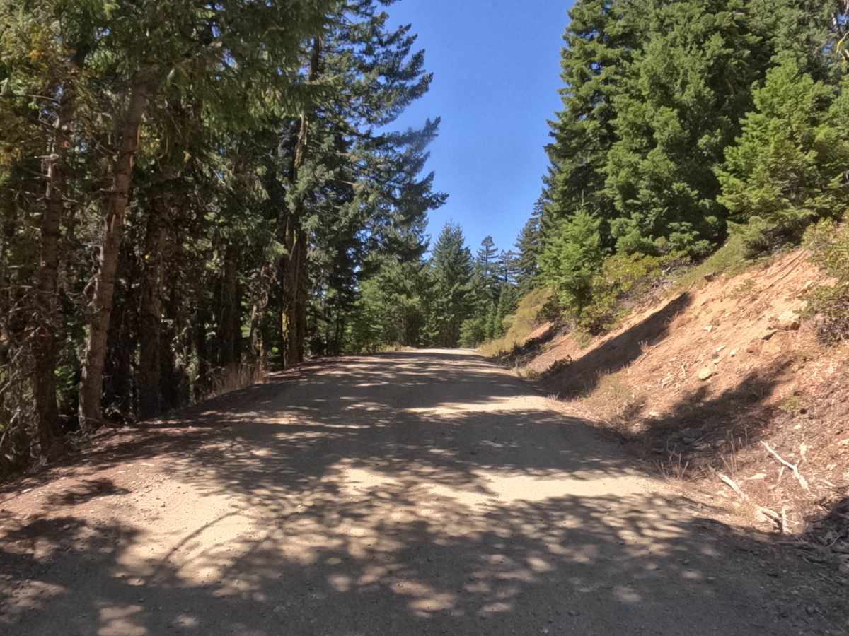
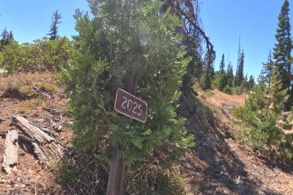
Donomore - FS 48N35 is a flat, hard-packed dirt-and-gravel connector that threads along the Oregon-California border in the Siskiyou Mountains, tying into the surrounding forest road network at both FS 40S01 and Road 2025000. Travelers heading either direction pass through the same mix of shaded conifer stands and open, grassy clearings, with the open stretches offering wide views out across the surrounding valley and nearby peaks close to Donomore Peak. The road stays firm and well-graded the entire way, with no ruts, rock, or grade change to speak of, making it comfortable for essentially any vehicle. A posted California state line sign marks the crossing partway along the route, a handy landmark for anyone stringing this stretch into a longer loop through the area. Best traveled from summer through fall.
Difficulty
Rated a 1, about as easy as forest roads get. The hard-packed dirt-and-gravel surface stays firm and predictable throughout, with no ruts, embedded rock, or notable grade change to contend with anywhere along the route. Nothing here calls for careful line choice or extra clearance, and the open, well-maintained tread keeps sightlines clear even through the wooded sections, which is why the rating sits at the bottom of the scale.

 Offroad