Trail Overview
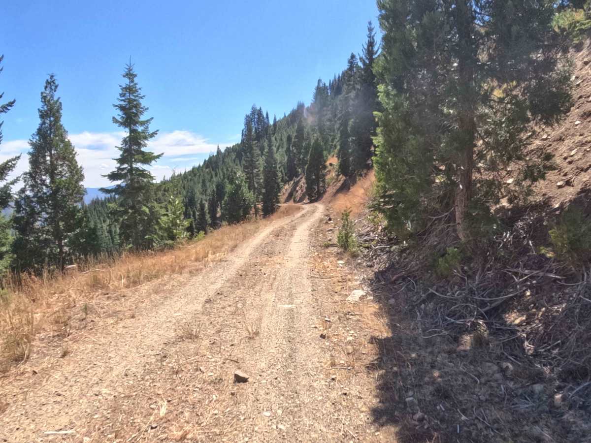
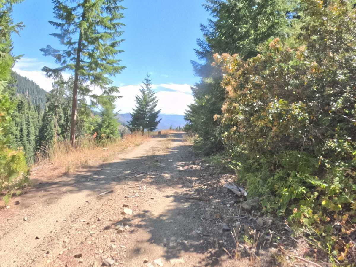
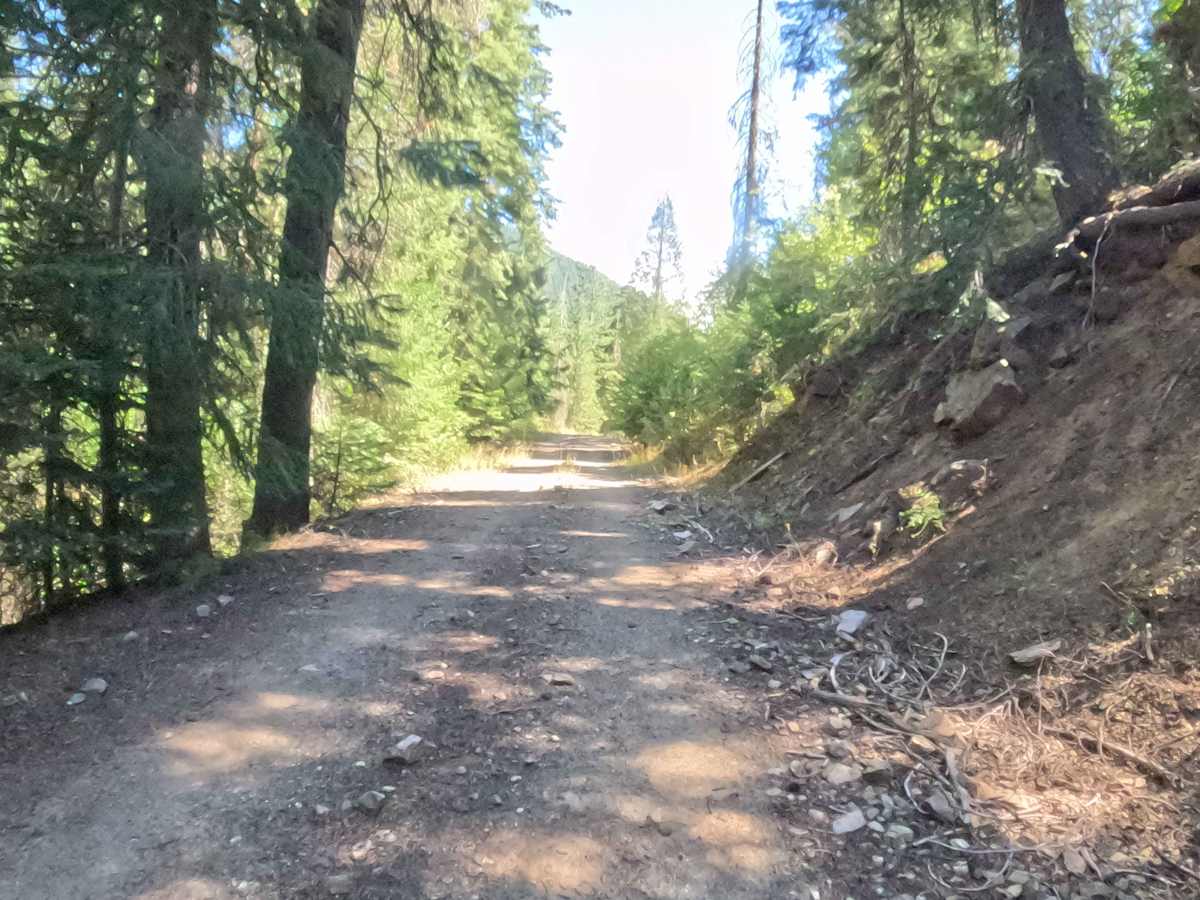
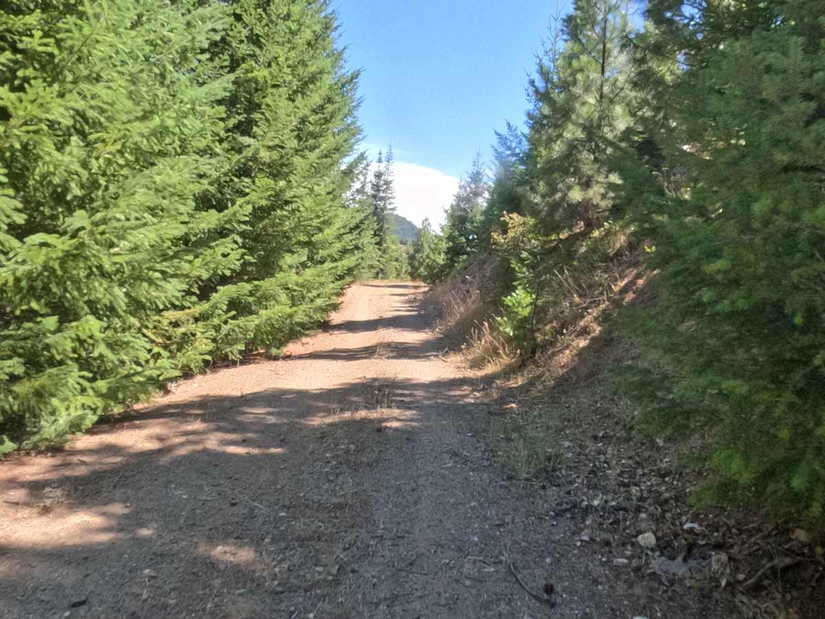
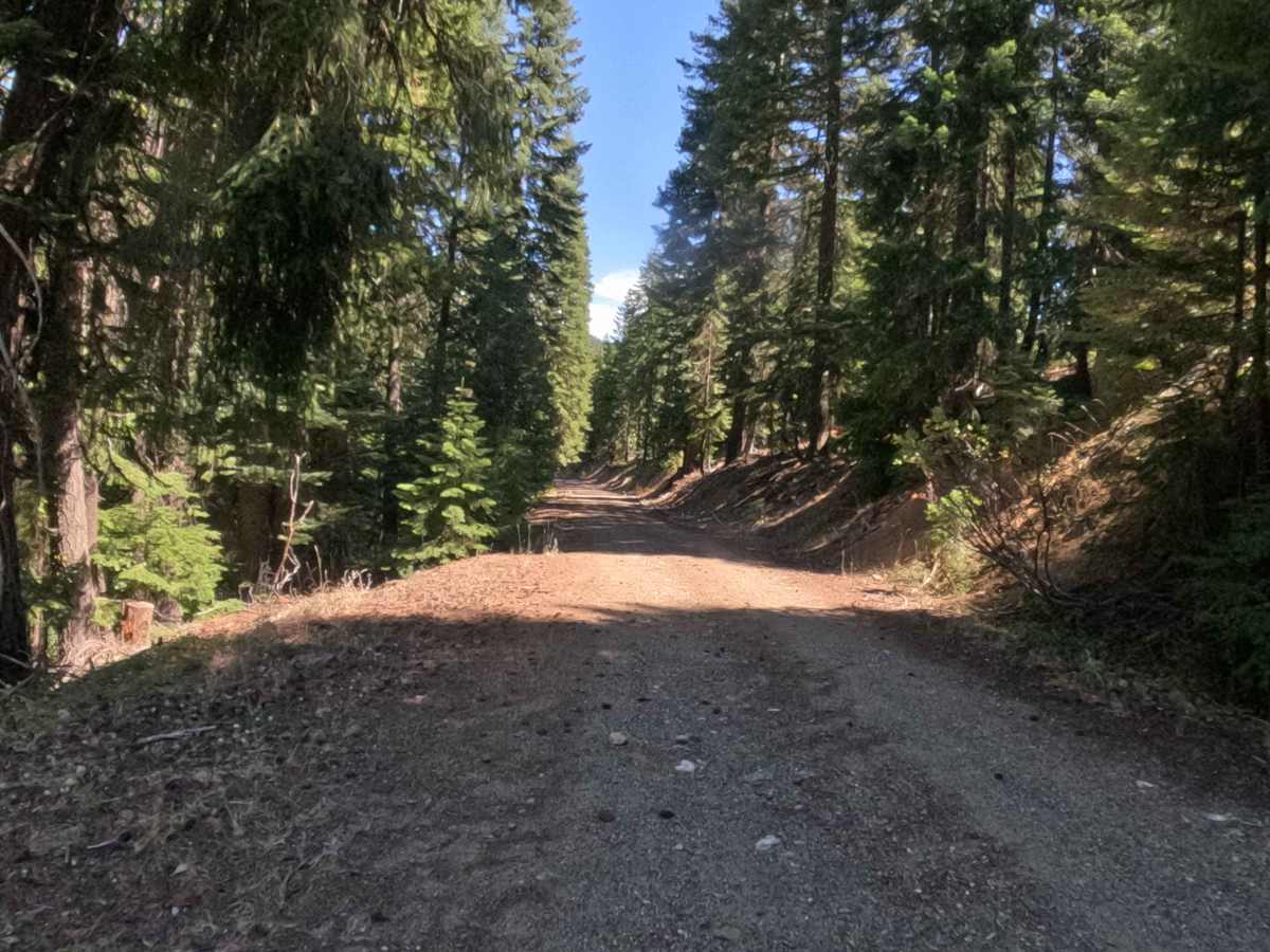
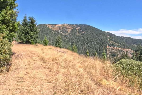
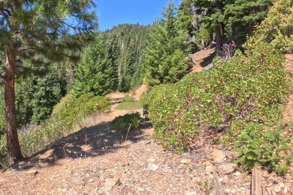
Trapper Point (FS 48N13) serves as an essential mountain thoroughfare providing continuous throughput across the Klamath National Forest. The route contours along steep mountain slopes through a mixed conifer environment of Douglas firs, ponderosa pines, and incense cedars. Recreators and backcountry drivers utilize this elevated passage for scenic overlanding, hunting access, and connecting toward high-country footpaths and wilderness boundaries nearby. As the route traverses open hillside cutouts, several clearing points break through the tree line to deliver panoramic vistas of the surrounding mountain ranges and southern valleys. The driving surface consists of a hard-packed decomposed granite and soil roadbed, holding an accessible Grade 2 difficulty rating. Narrowing slightly along bench cuts and featuring downhill grades up to ten percent near the lower reaches, this scenic connector offers a straightforward and rewarding passage regardless of travel direction, continuing past the mapped route.
Difficulty
This mountain corridor provides a firm and reliable driving line across variable terrain. Extreme off-road hazards like deep mud bogs, massive boulder fields, or severe shelf drop-offs are completely non-existent. The primary terrain considerations involve negotiating narrower hillside shelf cuts, steering clear of small scattered rocks, and managing downhill momentum on steeper grades reaching ten percent. Maintaining low, controlled gear selection on descending stretches preserves brake life and ensures consistent tire grip over loose granite gravel. Standard factory ground clearance is fully sufficient to negotiate the entire passage safely.

 Offroad