Trail Overview
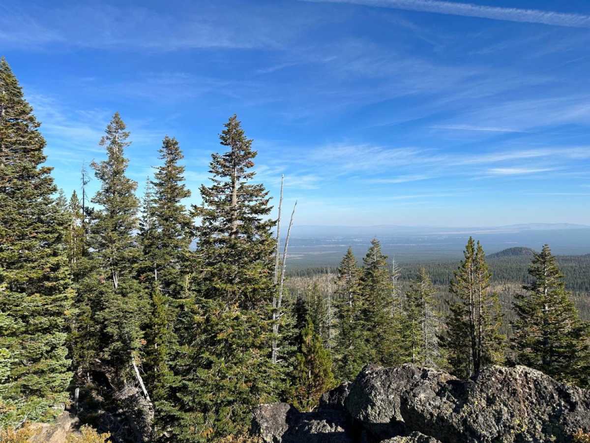
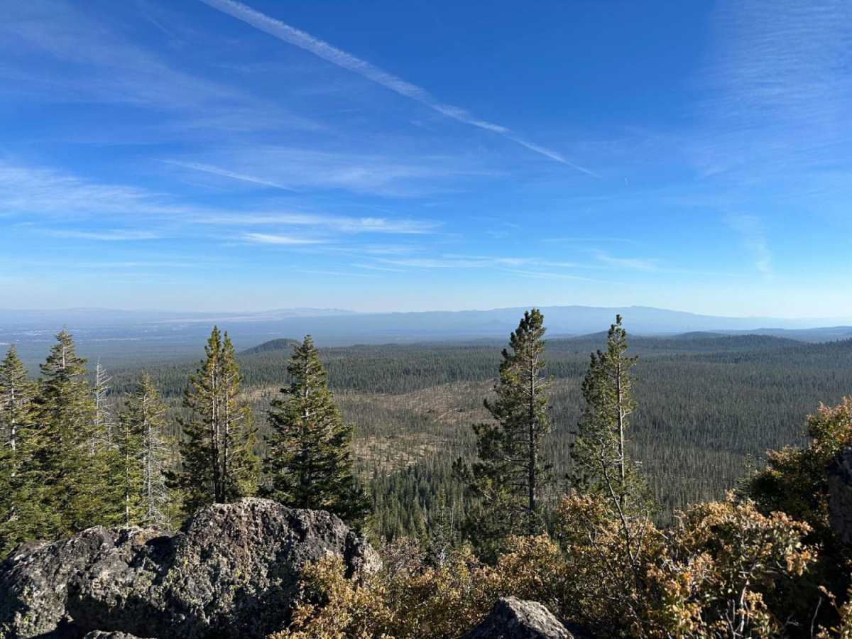
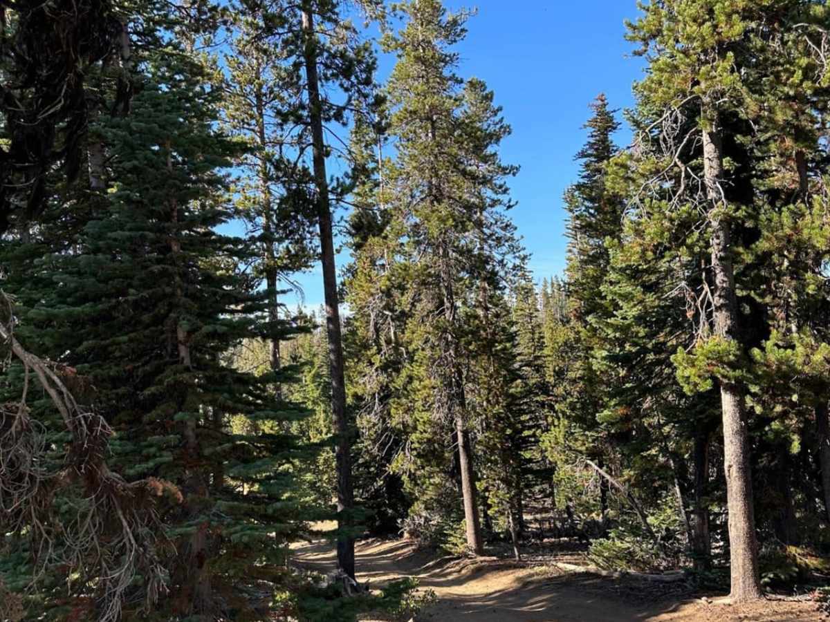
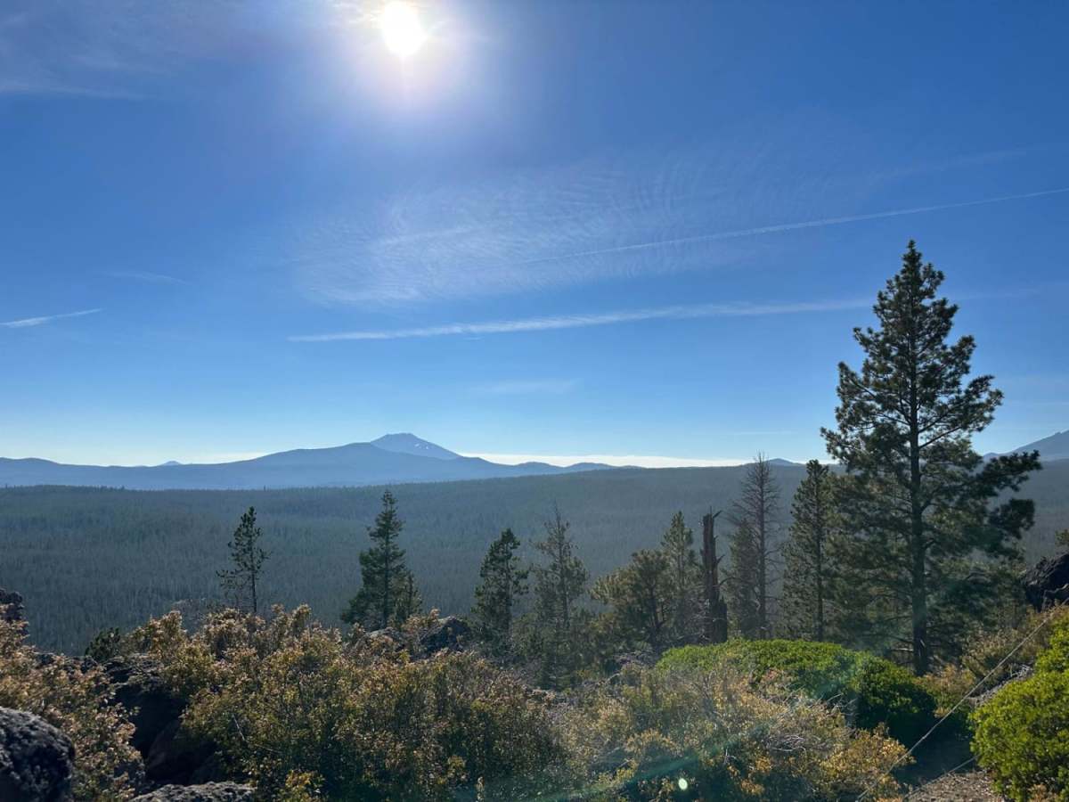
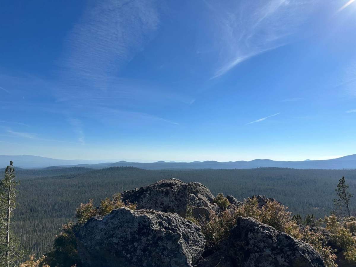
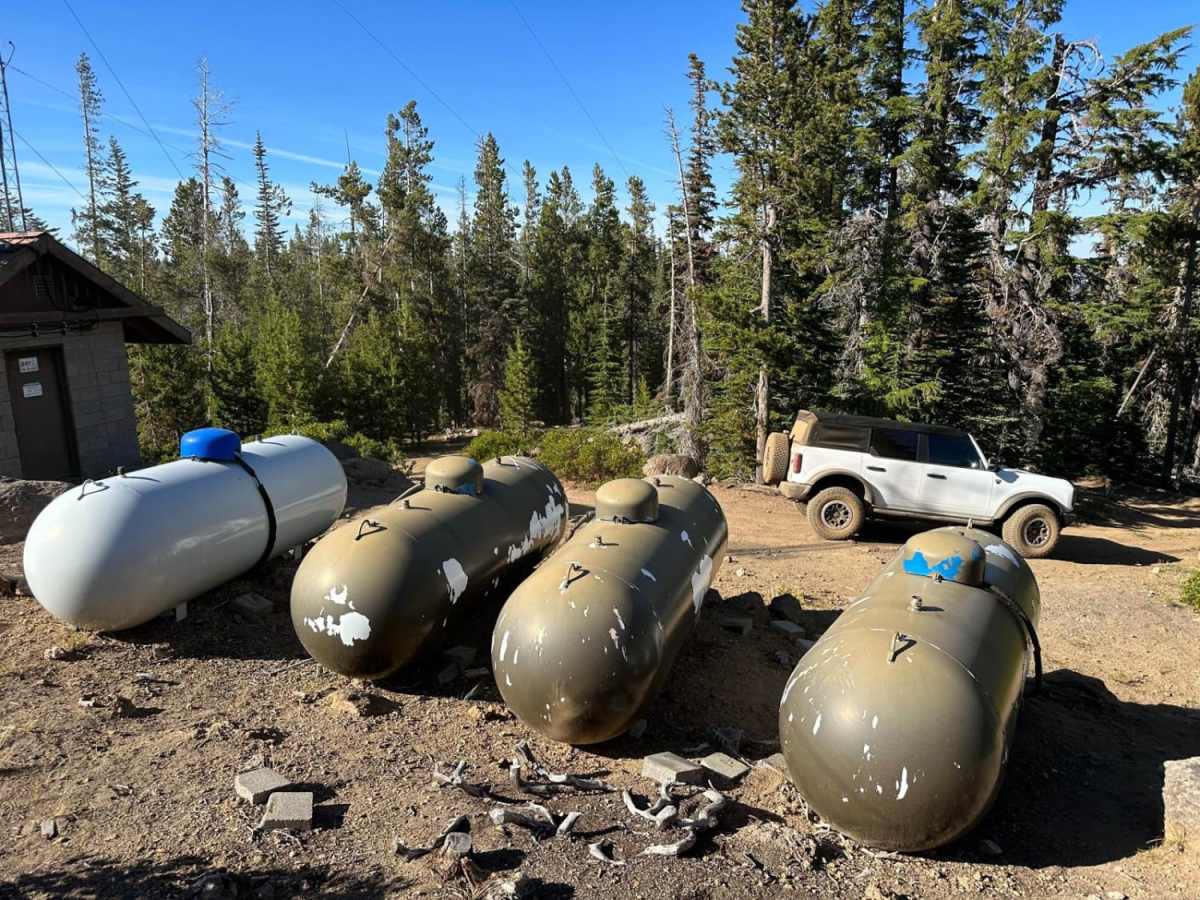
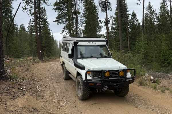
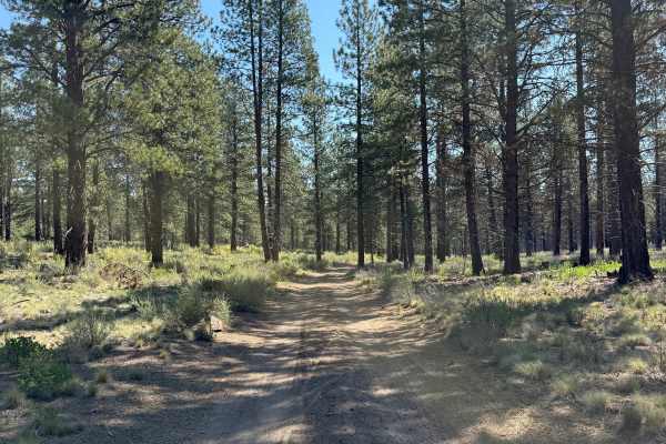
Bearwallow Butte is an easy and scenic drive perfect for beginners, families, and offroaders looking for a quick getaway with rewarding views of Bend, Oregon from the summit. This 3.9-mile route ascends approximately 800 feet from Skyliners Road to the top of Bearwallow Butte, reaching a maximum elevation of 6,454 feet. The dirt and gravel path is exceptionally well-maintained, rated a 2 out of 10, and is actively used by propane delivery trucks to service the summit infrastructure. This makes it highly accessible for most stock four-wheel-drive vehicles, SxSs, and dirt bikes without requiring specialized offroad modifications.
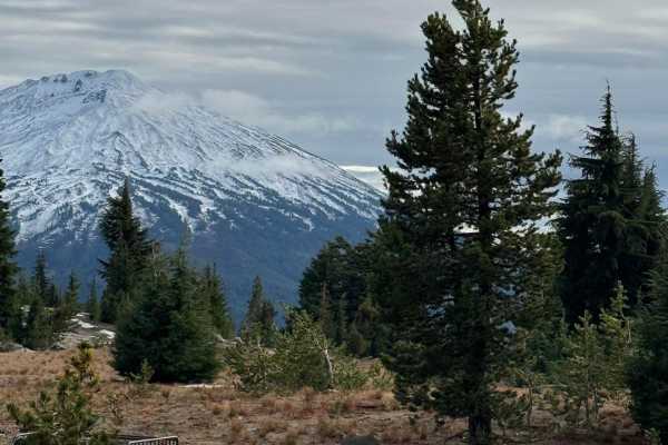
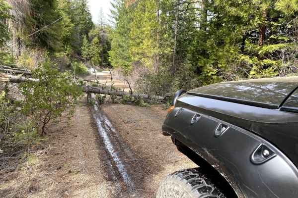
As the trail climbs through the Deschutes National Forest, drivers will navigate gentle curves and minor elevation changes with no major obstacles or technical rock crawling. Near the summit, an access gate may occasionally restrict vehicle passage, but even the lower sections offer excellent viewpoints of the surrounding landscape. Just past the radio tower at the peak, a large rock ledge serves as the ultimate destination, providing panoramic vistas of the city of Bend below and the Cascade Range. Visitors can start their journey from nearby Tumalo or Northwest Crossing, making this an ideal short excursion to combine with other local trails.
Access Description
An access gate near the upper portion of the trail may occasionally be closed, restricting motorized access to the absolute summit. However, the lower sections of the trail remain accessible and still provide excellent viewpoints.