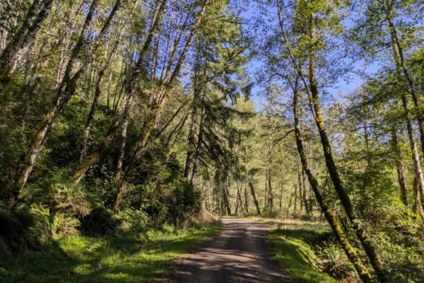
Trail Overview
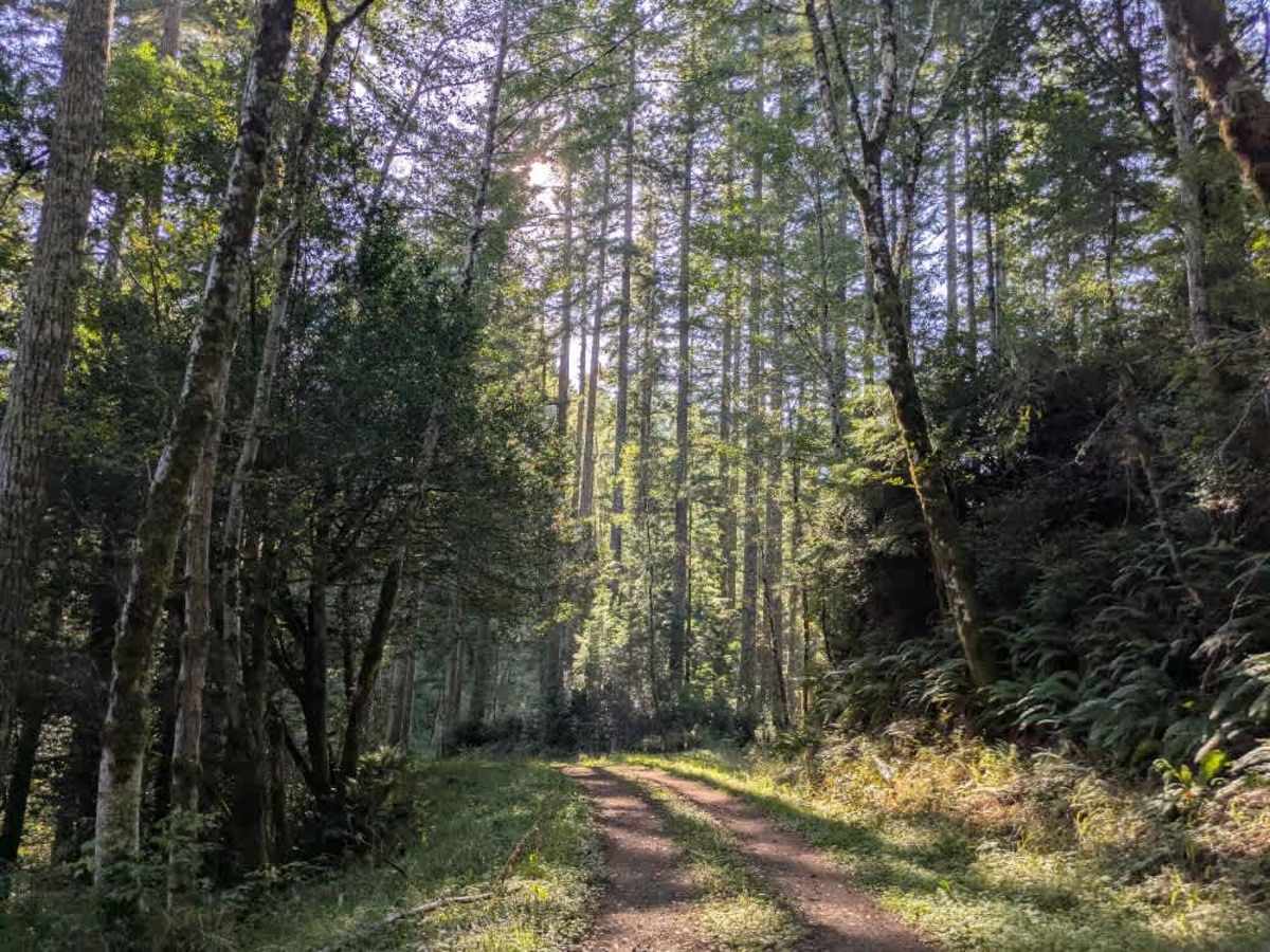
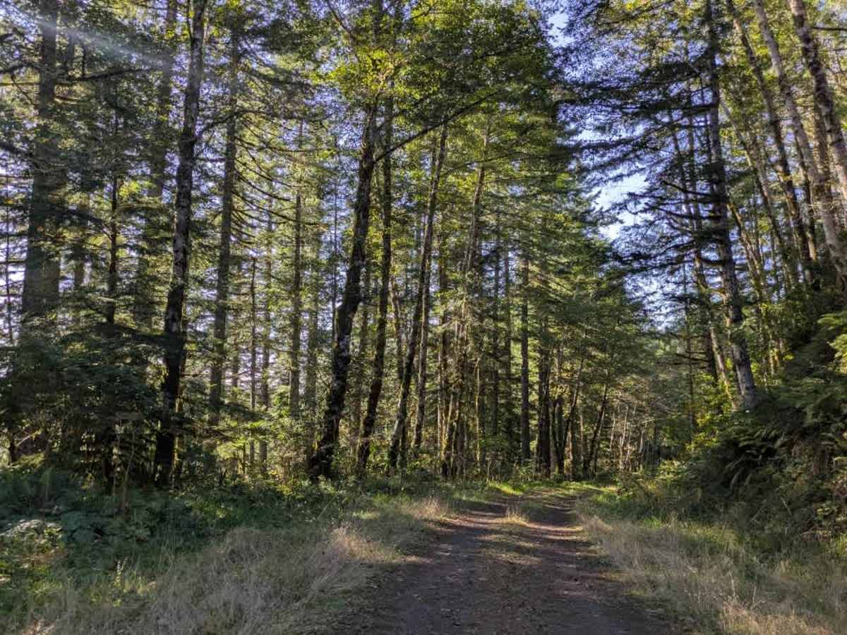
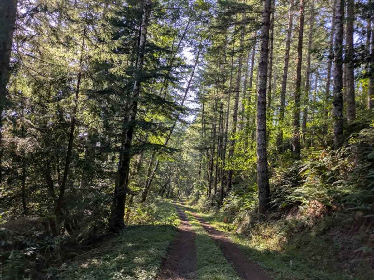
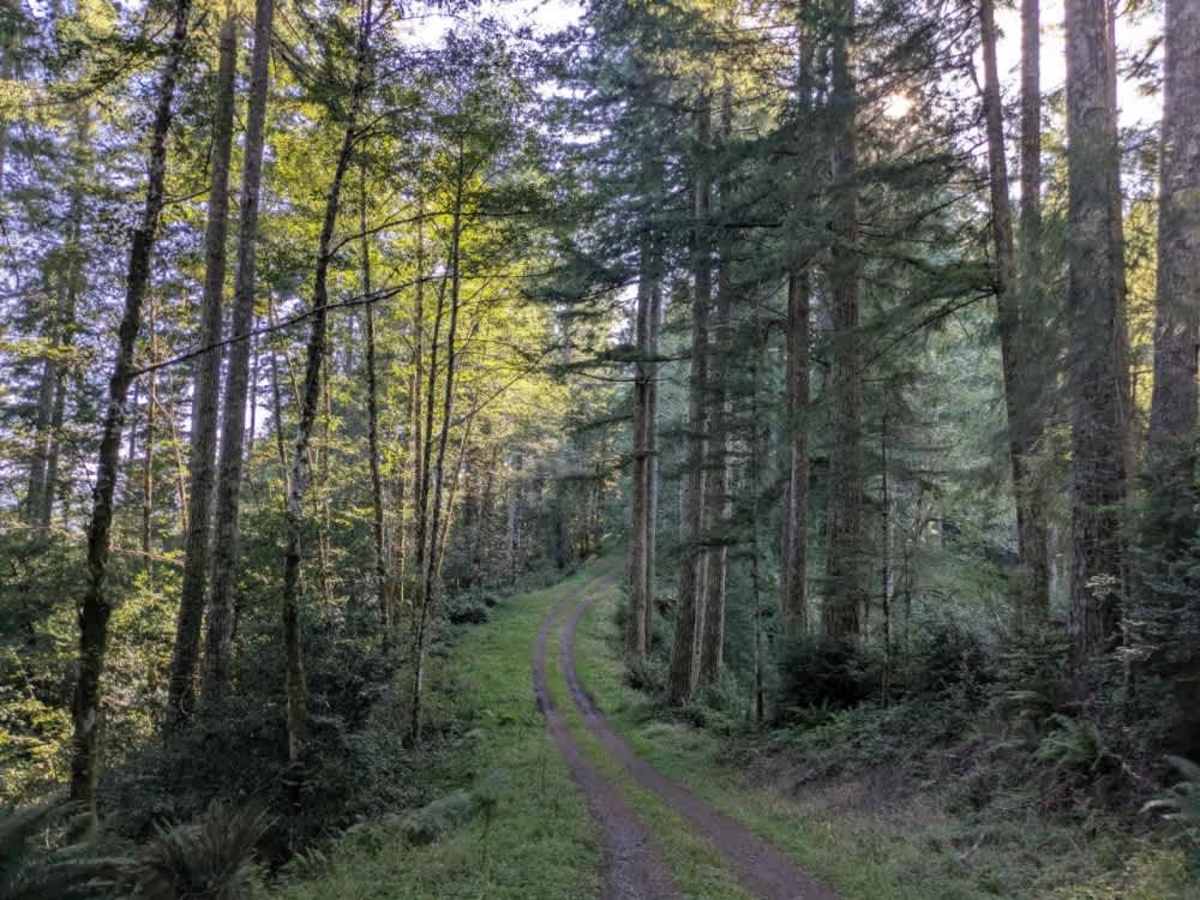
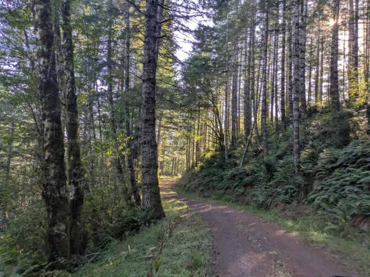
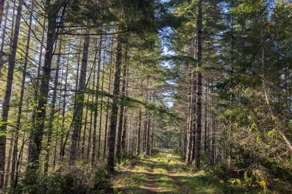
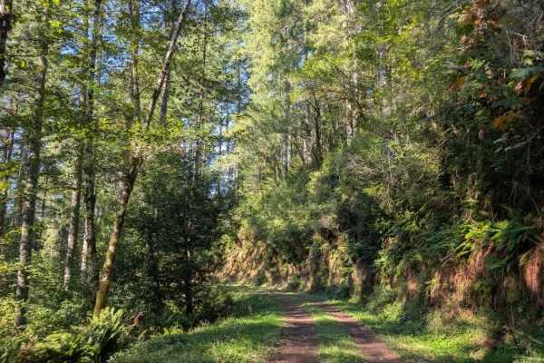
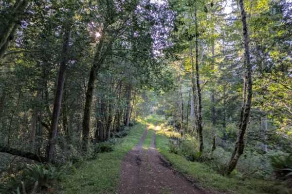
This well-maintained trail winds through the forest with a series of descents and climbs along the route. This trail starts with a long downhill section, though it is not particularly steep. The road is initially dry, but conditions become noticeably wetter farther along after turning around the other side of the mountain, where there is less sun. The trail is beautiful and generally easy to follow, but the actual road does not follow the route shown on the onX base map. Do not attempt to follow the mapped line, as there is no road along that section. Stay on the established, maintained route instead. There are a couple of places to pull over along the trail, but no camping areas were observed. As conditions become wetter farther along the route, use caution on the slicker sections, especially after rain. This area is open year-round on gravel roads. OHV use is prohibited where vegetation is present on the road during fire season, which typically starts in October. ATVs, UTVs, Side-by-Sides, and Dirt Bikes must always have a valid Oregon ATV Operating Permit sticker.