Upper Nantahala - FS 67

Total Miles2.1
Technical Rating
2Easy
Best TimeSpring, Summer, Fall, Winter
Trail TypeFull-Width Road
Accessible By
Open Trail Map

Trail Overview

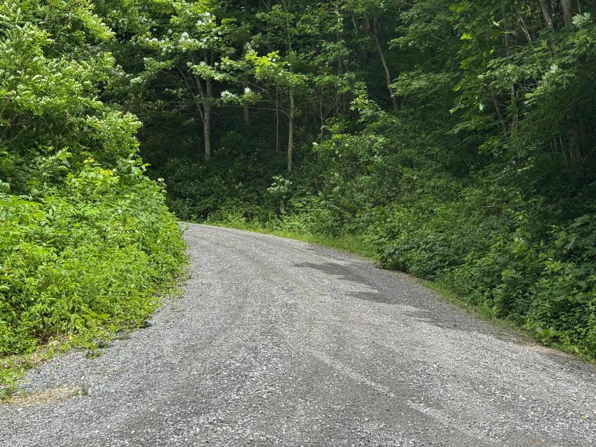
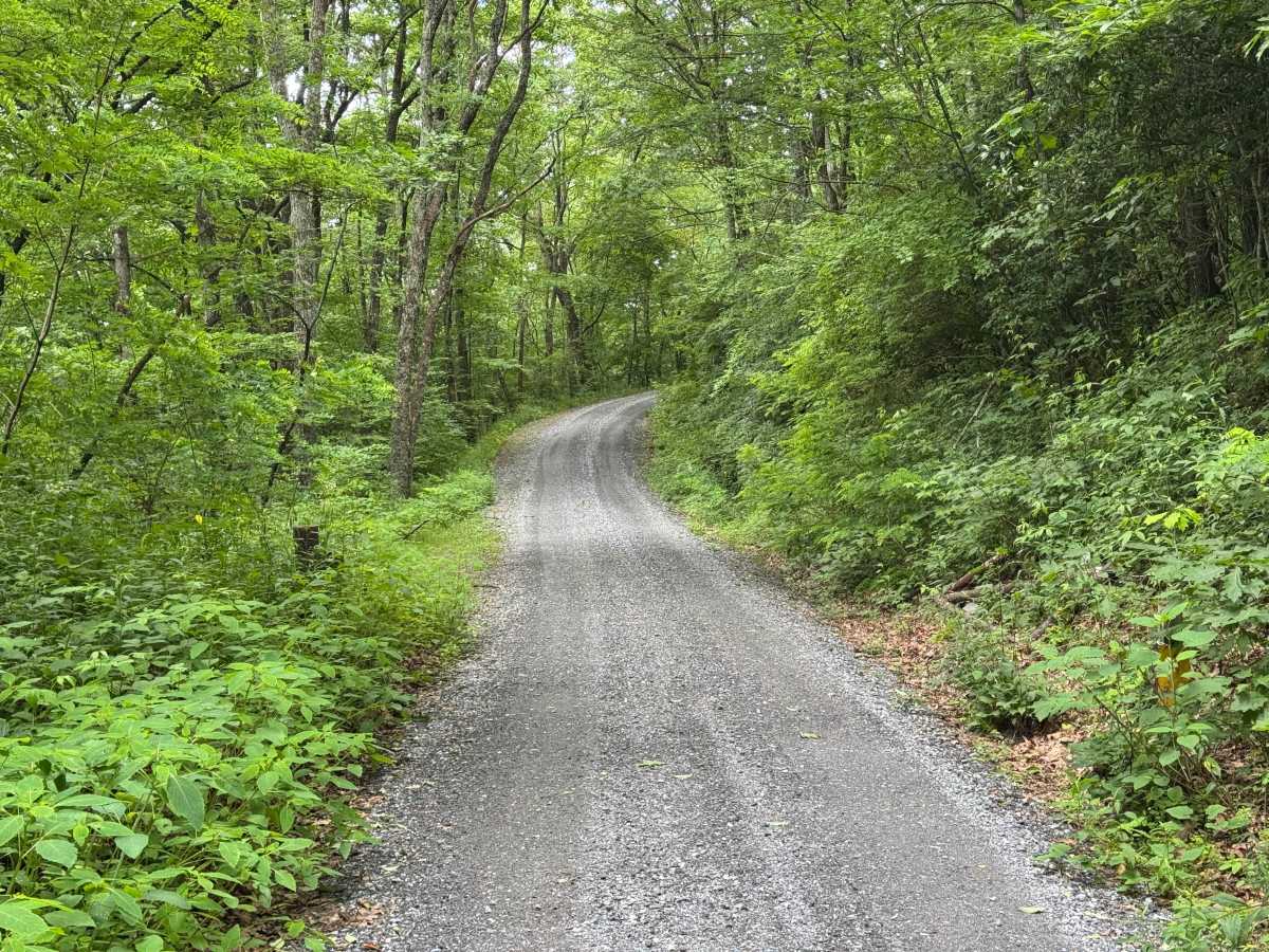
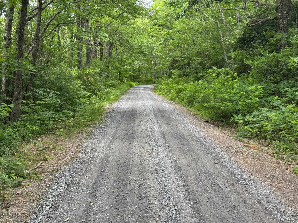
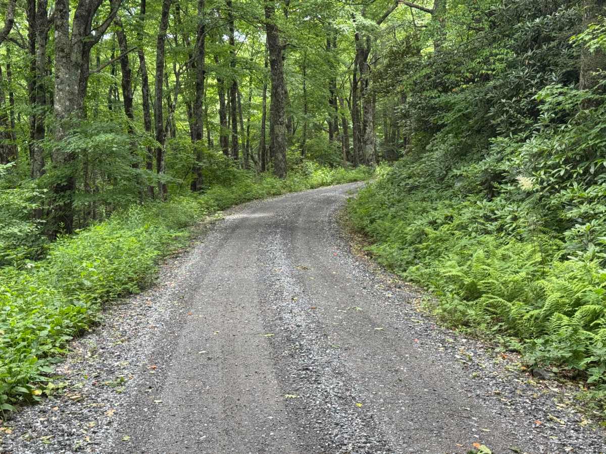
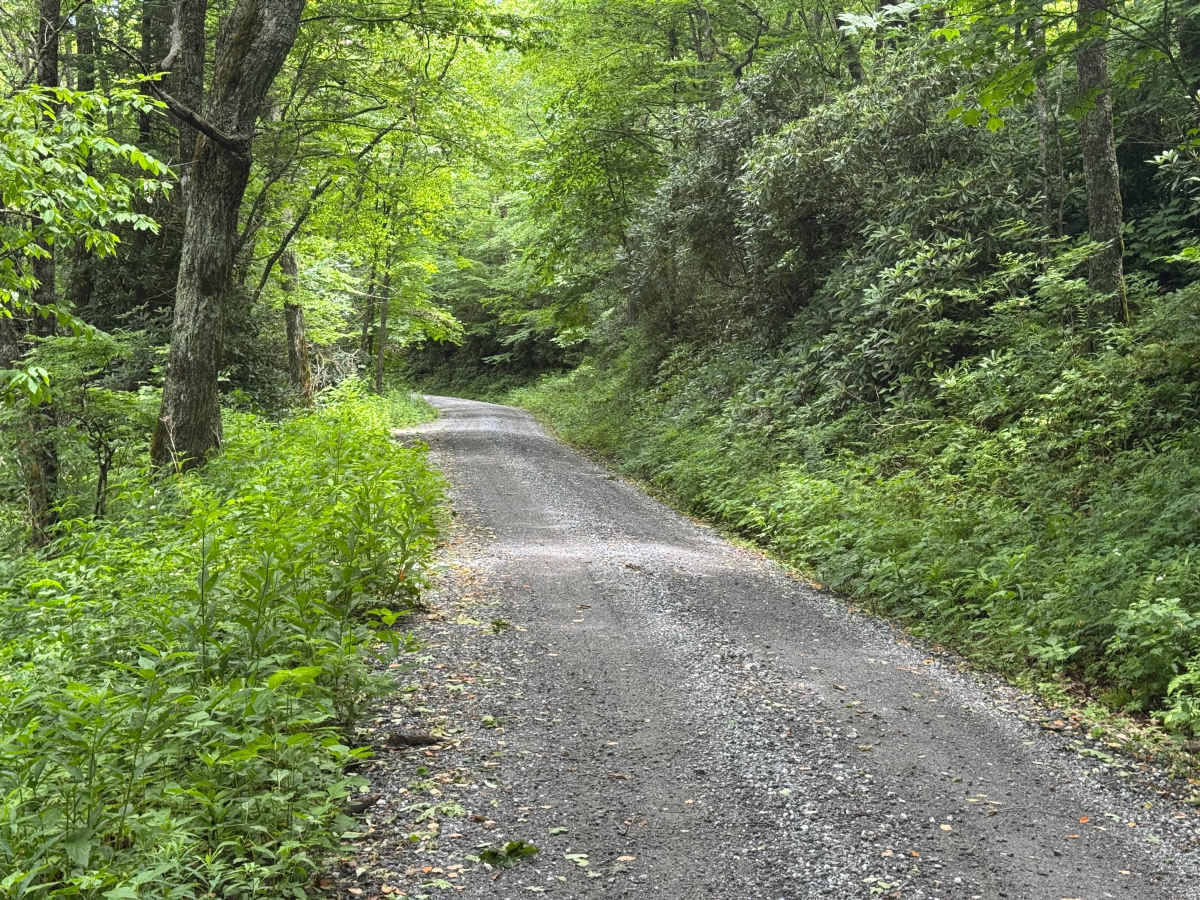
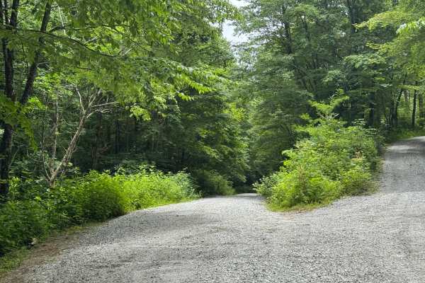
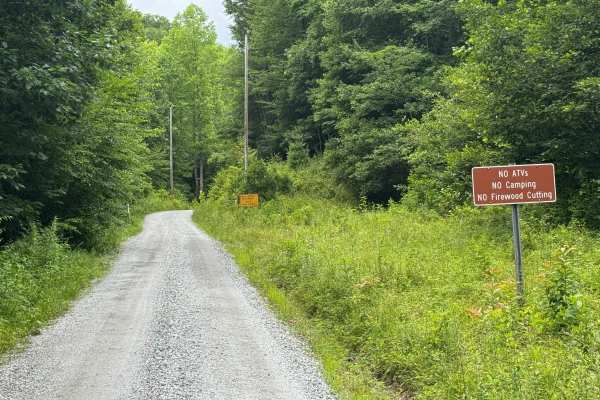
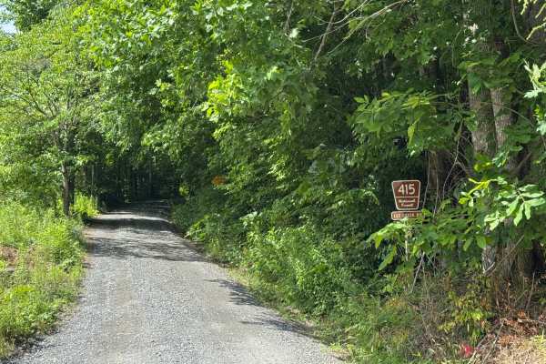
Upper Nantahala - FS 67 is a 2.1-mile out-and-back route that follows a generously sized single-lane gravel road with places to pass. The road is well maintained and travels through heavily forested terrain, providing an easy drive with a smooth surface and few obstacles throughout its length. Suitable for low-clearance vehicles under normal conditions, the route offers straightforward access into a quiet section of the National Forest without significant driving challenges. An open area marks the end of the road, where there is a possible dispersed campsite and ample room to turn around before retracing the route. The combination of good maintenance, generous road width, and gentle terrain makes this a practical choice for a relaxed forest drive. Access is restricted to highway-legal vehicles only.

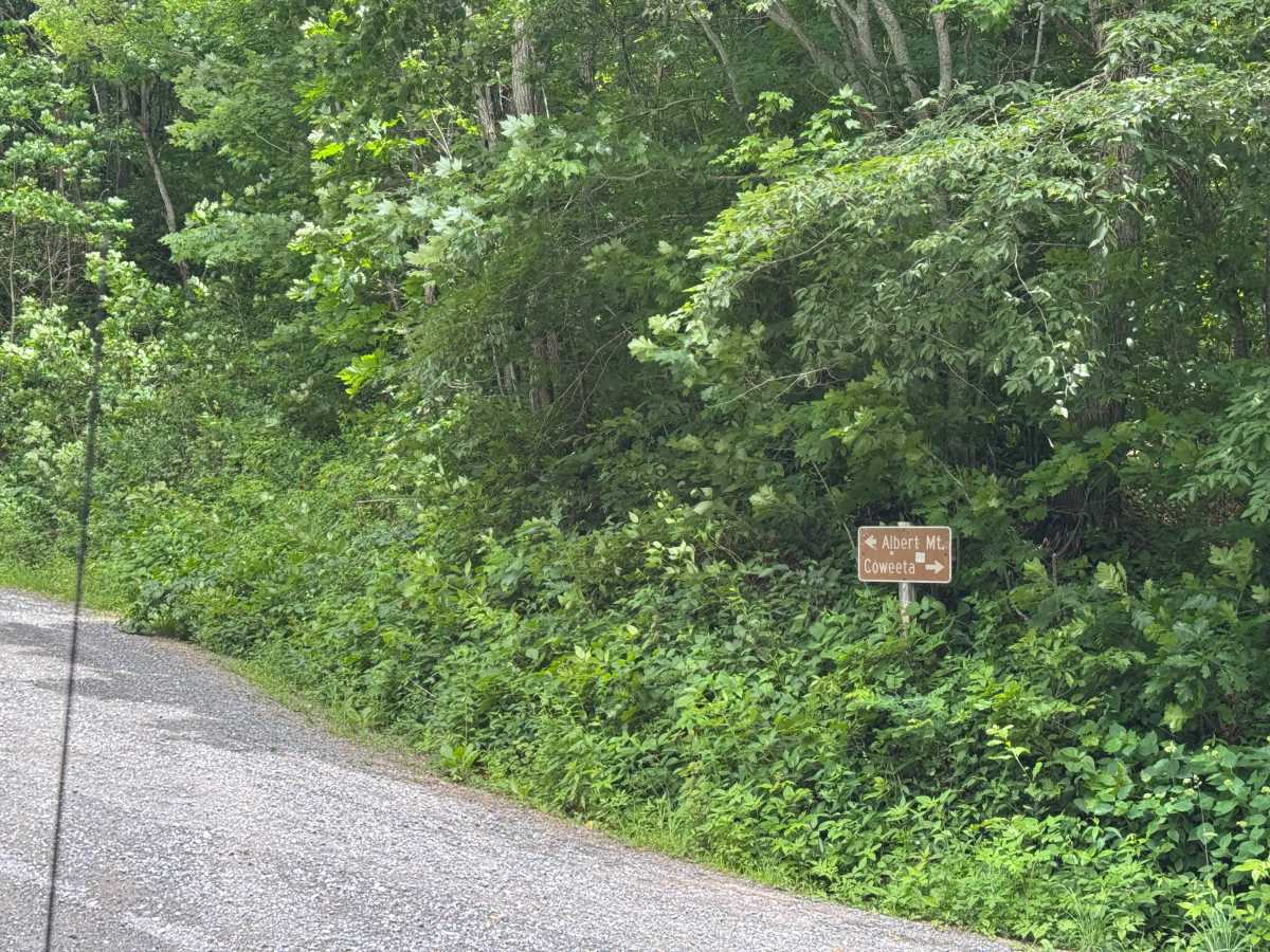
Photos of Upper Nantahala - FS 67

Difficulty

Generous single-lane road with space to pass easily.

Technical Rating

2

Upper Nantahala - FS 67 Trail can be accessed by the following ride types:

  • High Clearance
  • Full Width

Upper Nantahala - FS 67 Map

The onX Offroad Difference

onX Offroad combines trail photos, descriptions, difficulty ratings, width restrictions, seasonality, and more in a user-friendly interface. Available on all devices, with offline access and full compatibility with CarPlay and Android Auto. Discover what you're missing today!

Open Trail Map