Shope Fork - FS 751

Total Miles3.6
Technical Rating
2Easy
Best TimeSummer, Fall, Winter
Trail TypeFull-Width Road
Accessible By
Open Trail Map

Trail Overview

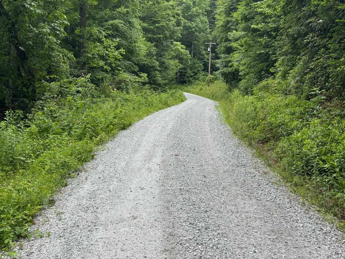
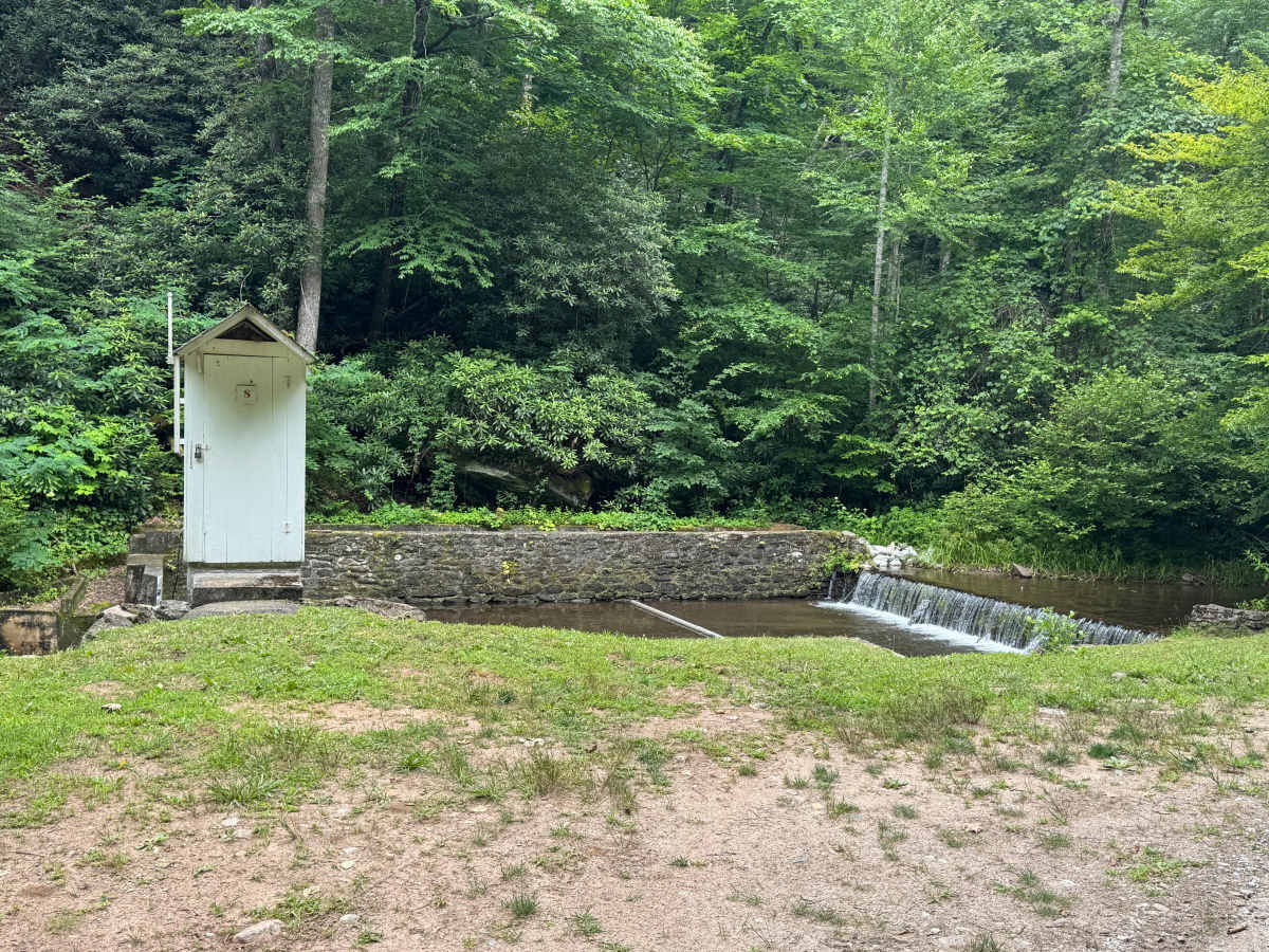
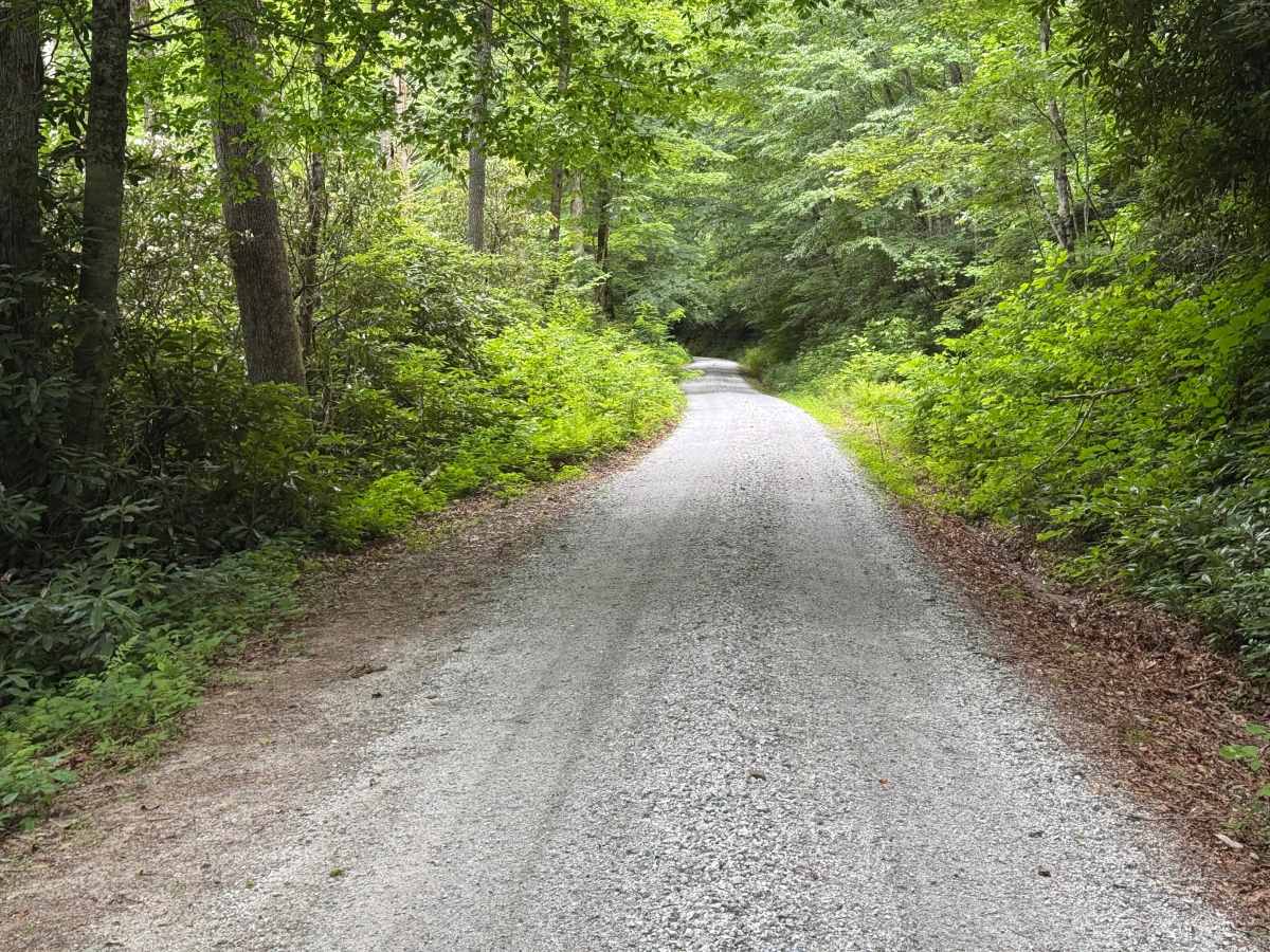
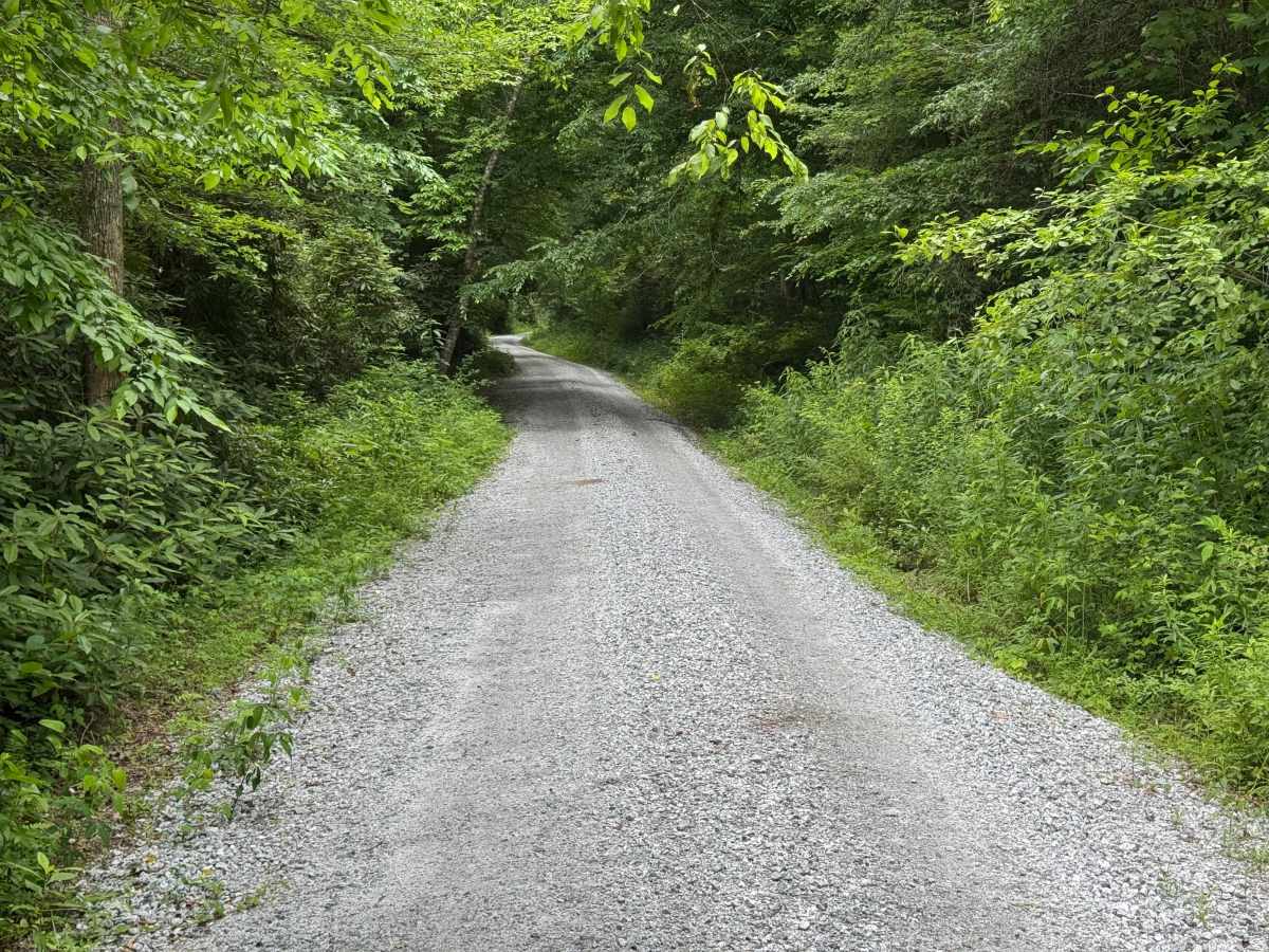
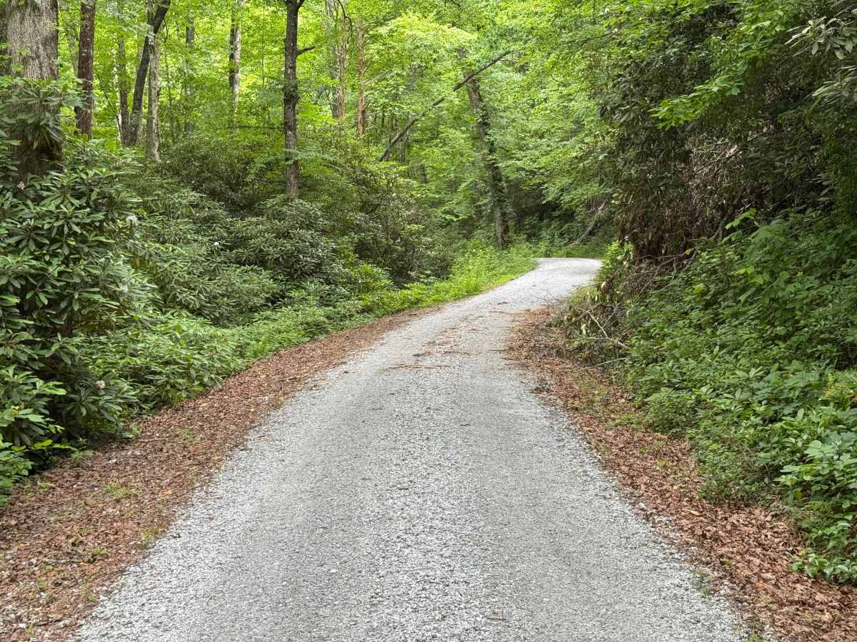
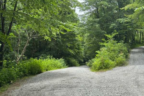
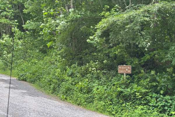
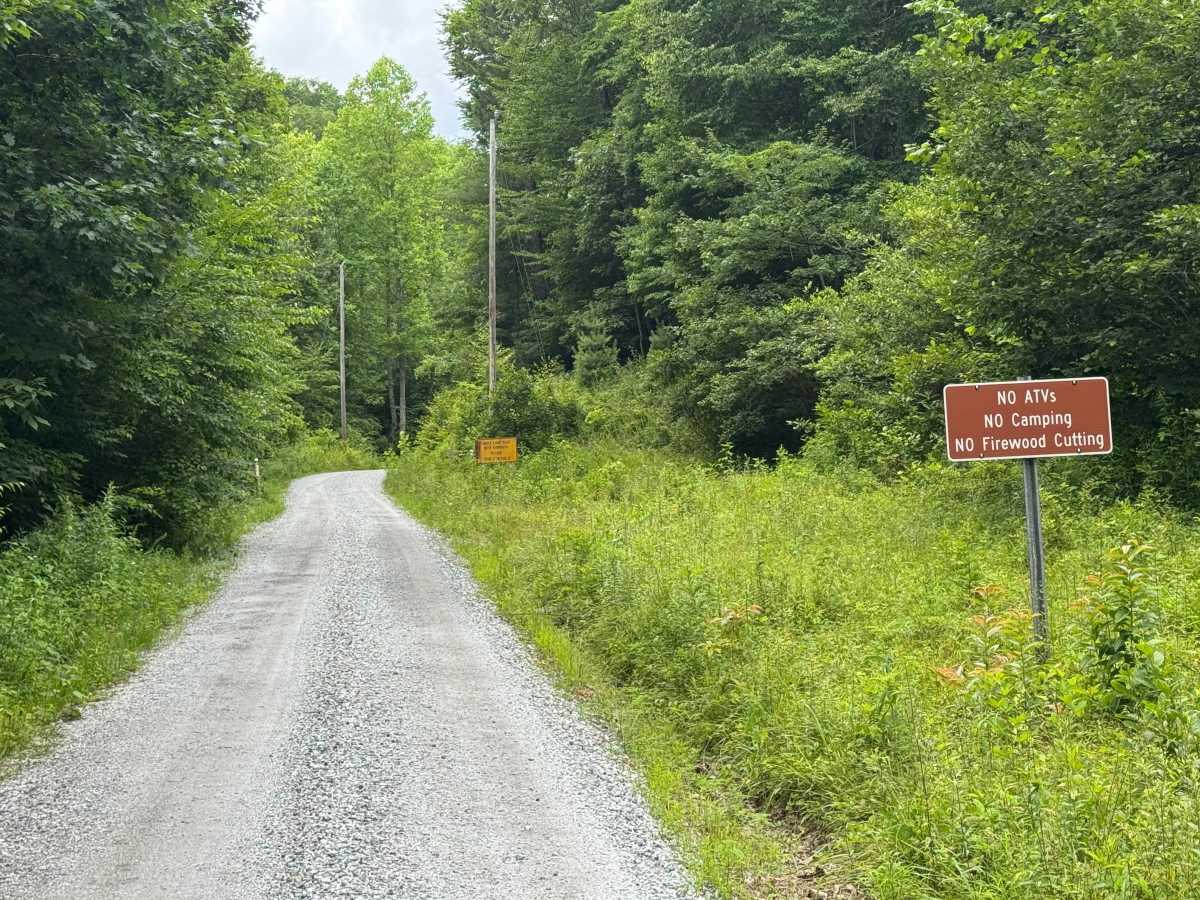
Shope Fork (FS 751) is a 3.6-mile out-and-back route that follows a generously sized single-lane gravel road with places to pass. The road is well maintained and travels through heavily forested terrain, providing an easy drive while climbing nearly 2,000 feet in elevation. The route begins at the Coweeta Hydrologic Laboratory and passes through a designated forest study area where permitted uses are limited. A turnaround marks the end of the road before the return trip follows the same alignment. Access is restricted to highway-legal vehicles only. The route is generally open from March 15 through December 31. Because this is a forest study area, camping and gathering firewood are not permitted.

Photos of Shope Fork - FS 751

Difficulty

Generous single-lane road with places to pass easily.

Technical Rating

2

Shope Fork - FS 751 Trail can be accessed by the following ride types:

  • High Clearance
  • Full Width

Shope Fork - FS 751 Map

The onX Offroad Difference

onX Offroad combines trail photos, descriptions, difficulty ratings, width restrictions, seasonality, and more in a user-friendly interface. Available on all devices, with offline access and full compatibility with CarPlay and Android Auto. Discover what you're missing today!

Open Trail Map