Trans America Trail / SCAR Connector

Total Miles80.3
Technical Rating
2Easy
Best TimeSpring, Summer, Fall, Winter
Trail TypeFull-Width Road
Accessible By
Open Trail Map

Trail Overview

If you want to connect the Trans America Trail with the South Carolina Adventure Route, this is your path. It's located North of Walhalla, and connects the SCAR to both the TAT and the Smokey Mountain 500 (SM500). The track is primarily gravel and pavement, but contains some steep grades and ruts which make for fun riding. The Winter Bypass is all pavement and exists due to an annual wintertime forest road closure (typically Jan 1-March 14). About the SCAR: The South Carolina Adventure Route loops through approximately 1,000 miles of rural South Carolina. Along this route, you'll enjoy the Blue Ridge Mountains, the Atlantic Ocean, diverse forests, cotton fields, state parks, historical sites, and quaint towns. The SCAR also connects to the Smokey Mountains 500, the Georgia Traverse, and the Trans-America Trail (TAT), providing riders on those trails with a scenic route to the Atlantic coast at Edisto Beach. The roads along the SCAR are a mix of pavement and dirt, 60% and 40% respectively, with the surface alternating between gravel, dirt, clay, and sand. The route is not exceptionally technical, but dry conditions can leave the sandy roads loose, while wet conditions can leave the dirt and clay roads slick and rutted. Travelers should expect to encounter deep sand and sizable mud holes in the worst conditions.

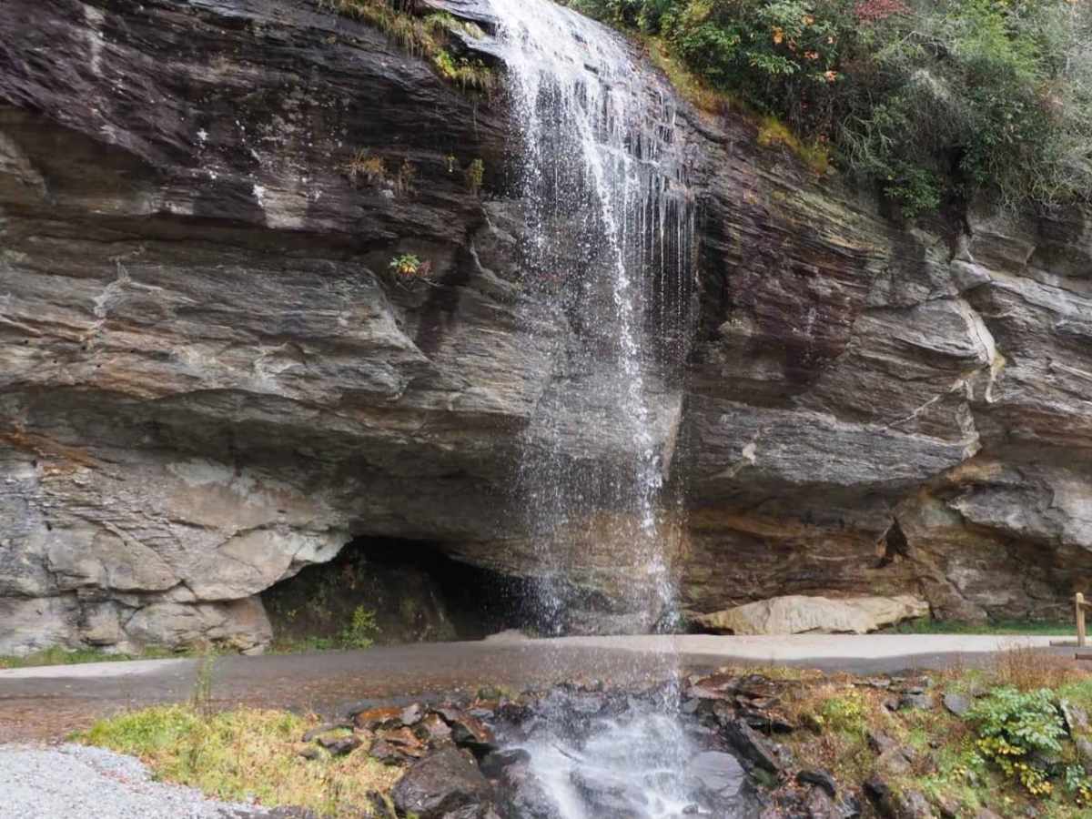
Photos of Trans America Trail / SCAR Connector

Difficulty

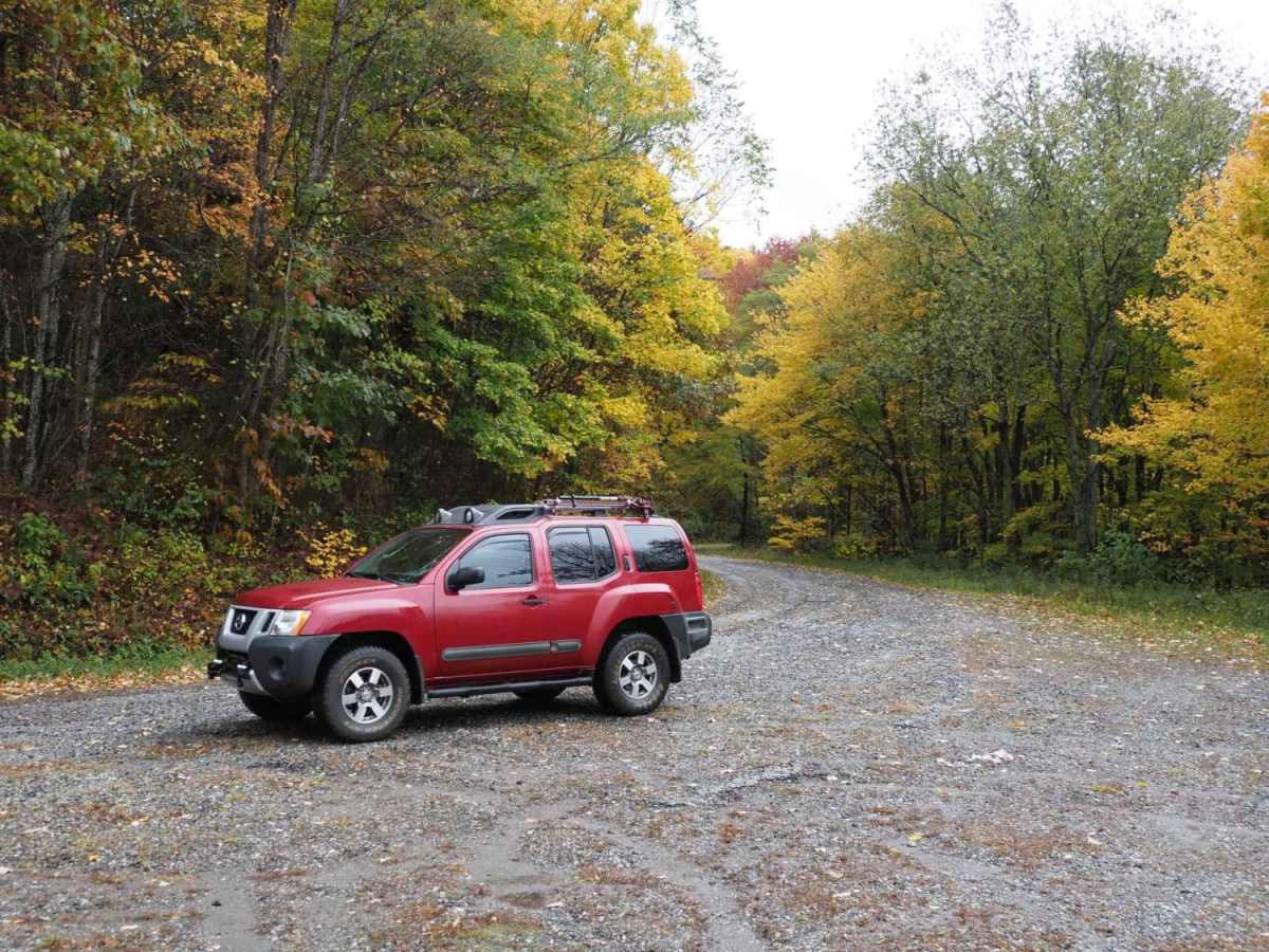
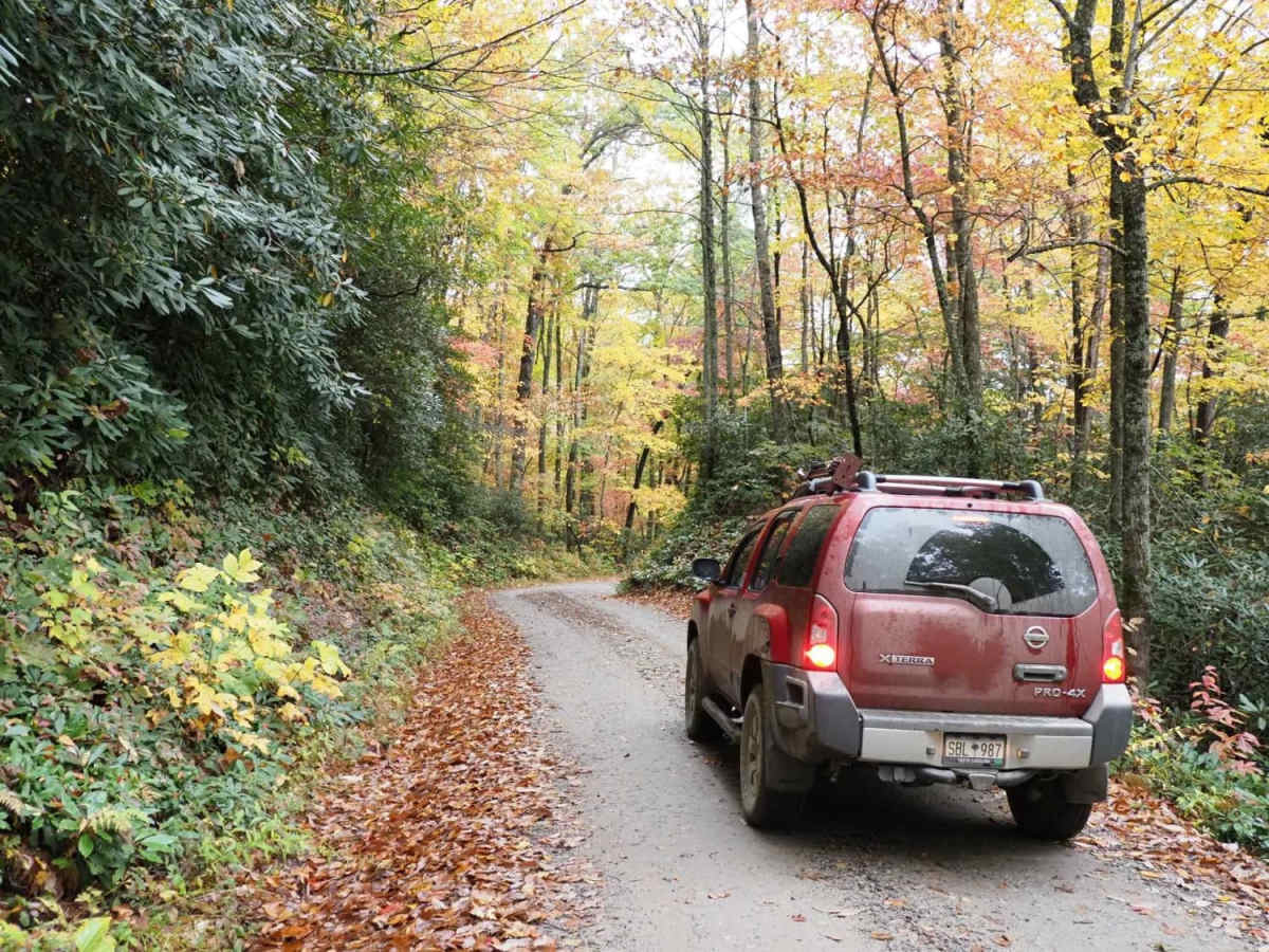
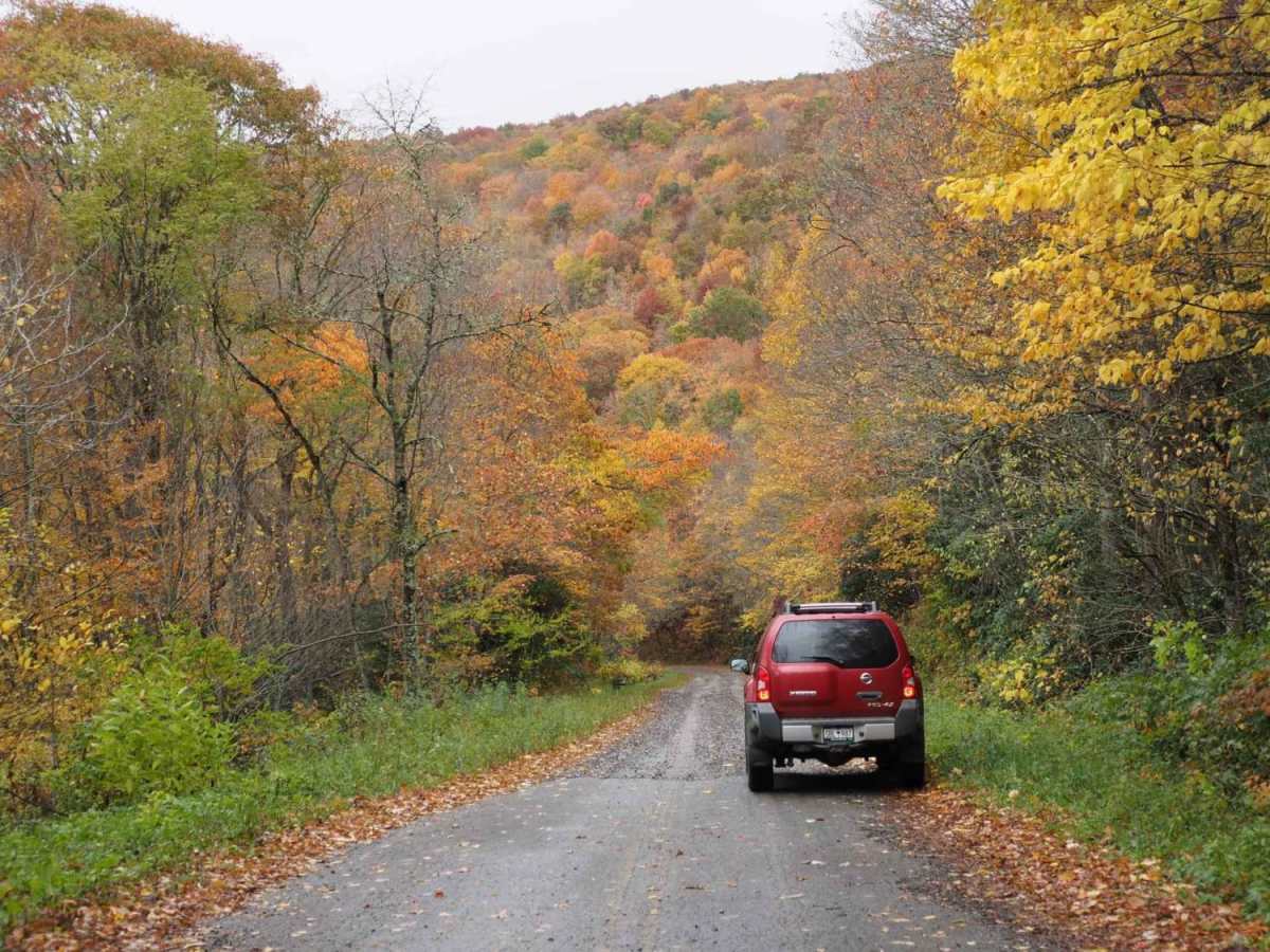
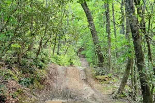
This trail is primarily gravel and pavement but contains some steep grades and ruts.

Technical Rating

2

Status Reports

Add Status Report
Thomas Harper
Jul 26, 2025
2024 Toyota Tacoma
Open
Normal
Todays section: Cruised from W Murphy to Bell Cr with the road winding like a serpent through the hills β€” well-kept dirt road, barely another soul in sight, and the switchbacks made for a thrilling traverse.
DAVID BARKER
May 05, 2025
2022 Nissan Frontier
Temporarily Closed
Posted SignWeather Event
Closed just north of US 64 due to washouts from Helene last year
Pierre Slabber
Mar 28, 2025
2023 Mercedes Sprinter
Temporarily Closed
Posted Sign
Rainbow Springs closed just before 64
Matthew Ludwig
Mar 21, 2025
2021 Jeep Wrangler
Open
NormalRough/Deteriorated
Trail was open! We had a blast!
Michael Baird-Kelly
Mar 15, 2025
Temporarily Closed
Josh Carter
Dec 29, 2024
Temporarily Closed
Road Closed signs between 64 and Wayna Rd.
Rob Lilley
Oct 18, 2024
2023 Toyota 4Runner
Open
Some small ruts, otherwise clear.
Geoffrey Robinson
Aug 17, 2024
Open
Normal
No obstacles or anything technical at all. Maybe a few rained out pot holes
Keith Denebeim
Aug 11, 2024
Open
Normal
All fire roads in the region are open and in excellent condition. Wayah Bald is heavy on traffic. Rainbow Springs is clear and absolute stunner of a ride. Continuing on FR711, also in excellent condition. Some gravel some pavement. π™‚π™šπ™© 𝙀π™ͺ𝙩 π™©π™π™šπ™§π™š 𝙖𝙣𝙙 π™π™„π˜Ώπ™€!
David Santamaria
Aug 03, 2024
Open
Normal
Good elevations and declines. This report is for portions from Wayah Road and Rainbow Springs Road to Hwy 64.
Stephen Morton
Jan 13, 2024
Temporarily Closed
Closed Gate
Rick Crosby
Oct 23, 2023
Open
NormalDusty

Trans America Trail / SCAR Connector Trail can be accessed by the following ride types:

  • High Clearance
  • Full Width

Trans America Trail / SCAR Connector Map

The onX Offroad Difference

onX Offroad combines trail photos, descriptions, difficulty ratings, width restrictions, seasonality, and more in a user-friendly interface. Available on all devices, with offline access and full compatibility with CarPlay and Android Auto. Discover what you're missing today!

Open Trail Map