Trail Overview
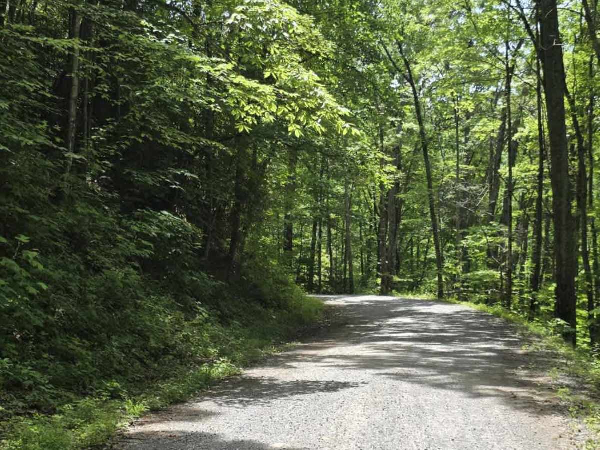
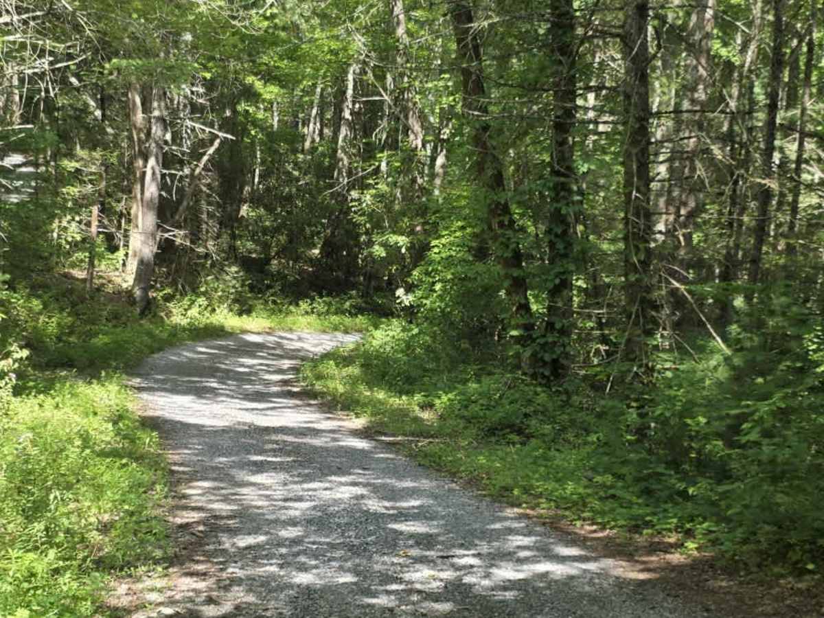
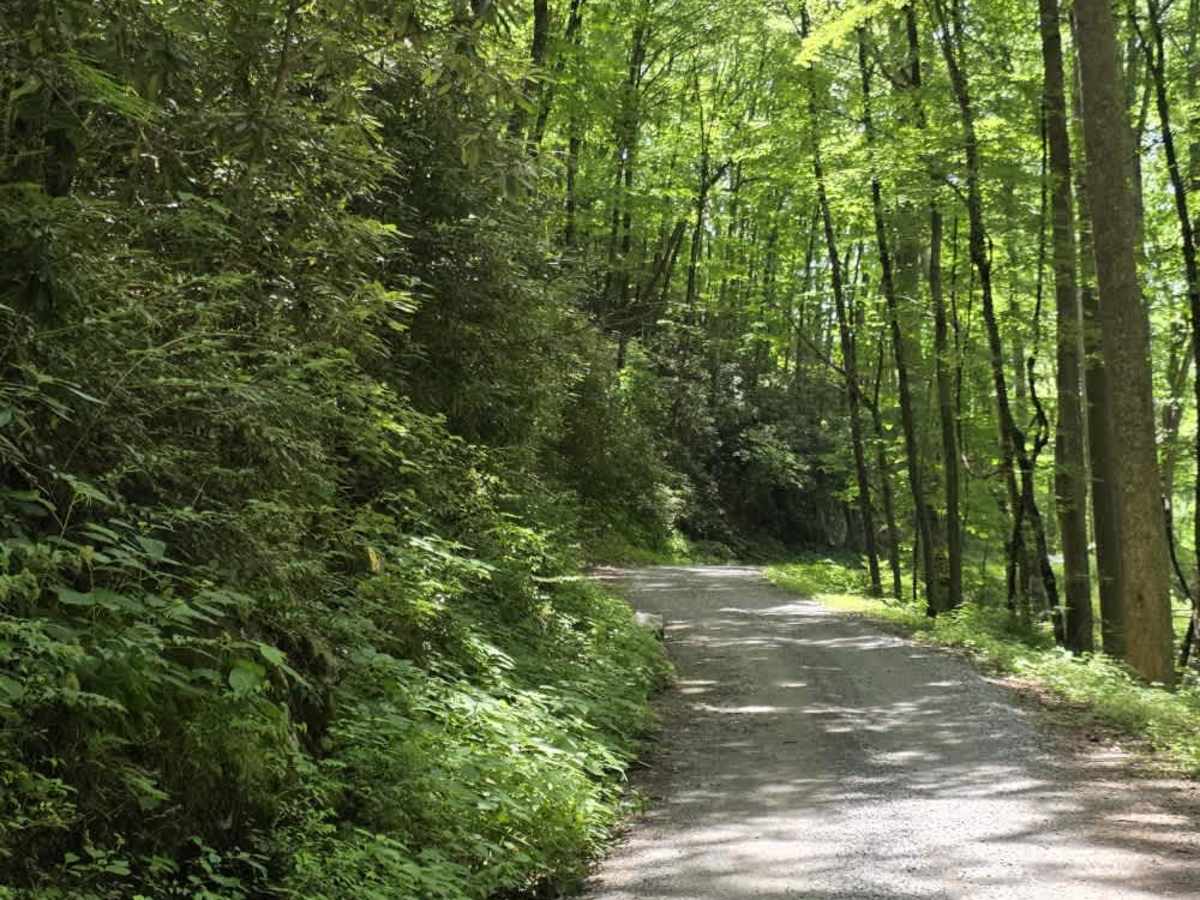
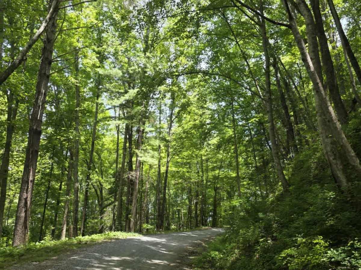
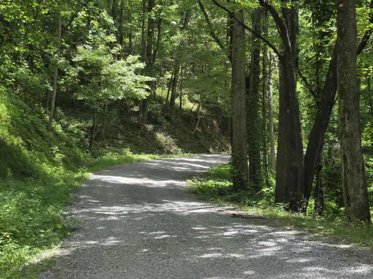
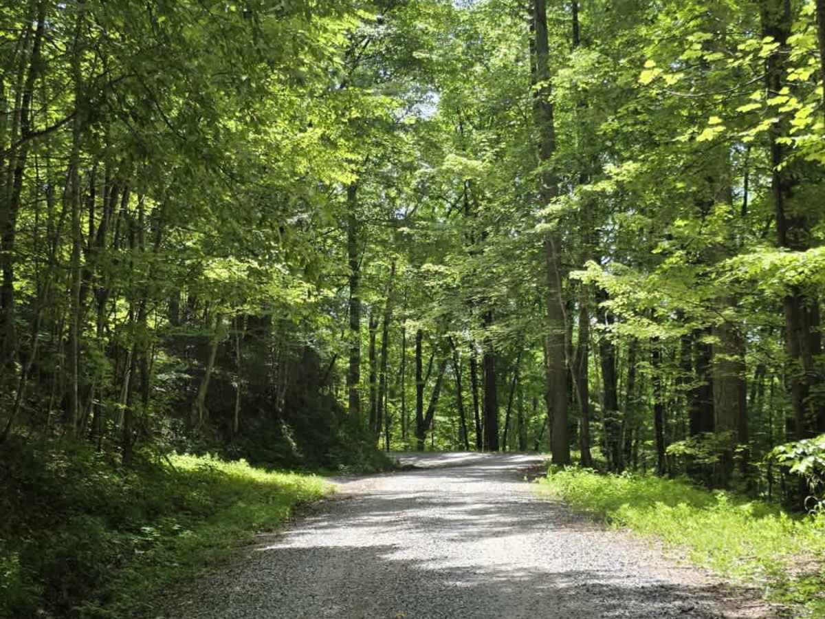
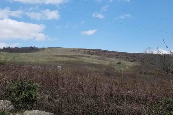
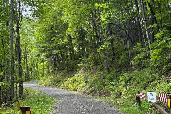
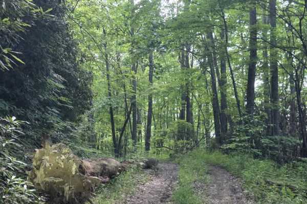
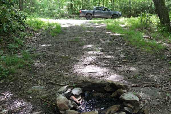
Round Mountain Road is a long, easy gravel route that connects Highway 107 with Max Patch Road and the Lemon Gap area. The road follows a winding path through a mix of Cherokee National Forest and privately owned land, offering a scenic and relaxed drive with generally smooth, predictable terrain. The gravel surface is well suited for most vehicles under normal conditions. Drivers may encounter a few washouts along the route, but these are typically minor and easy to traverse. The road includes numerous curves, so visibility can be limited in places and oncoming traffic should be expected. Because portions of the route pass near private property, drivers should remain on the roadway, keep speeds reasonable, and be respectful of nearby landowners. Overall, Round Mountain Road is a straightforward connector with plenty of scenery and very little technical difficulty.
Difficulty
Round Mountain Road is rated a 1 due to its gravel surface, gentle grades, and lack of sustained obstacles. While minor washouts may be present, they are generally shallow and easily navigated without creating significant clearance or traction concerns. The winding nature of the road requires basic awareness of oncoming traffic, but the route does not feature ruts, ledges, water crossings, or technical terrain that would raise the difficulty. Overall, the sustained experience aligns with an easy dirt or rocky road suitable for most 4WD and high-clearance 2WD vehicles, and it is easily manageable by 2WD vehicles under normal conditions.

 Offroad