Rough Butt Connector - FS 4669A

Total Miles0.3
Technical Rating
6Moderate
Best TimeSpring, Summer, Fall, Winter
Trail TypeFull-Width Road
Accessible By

Open Trail Map

Trail Overview

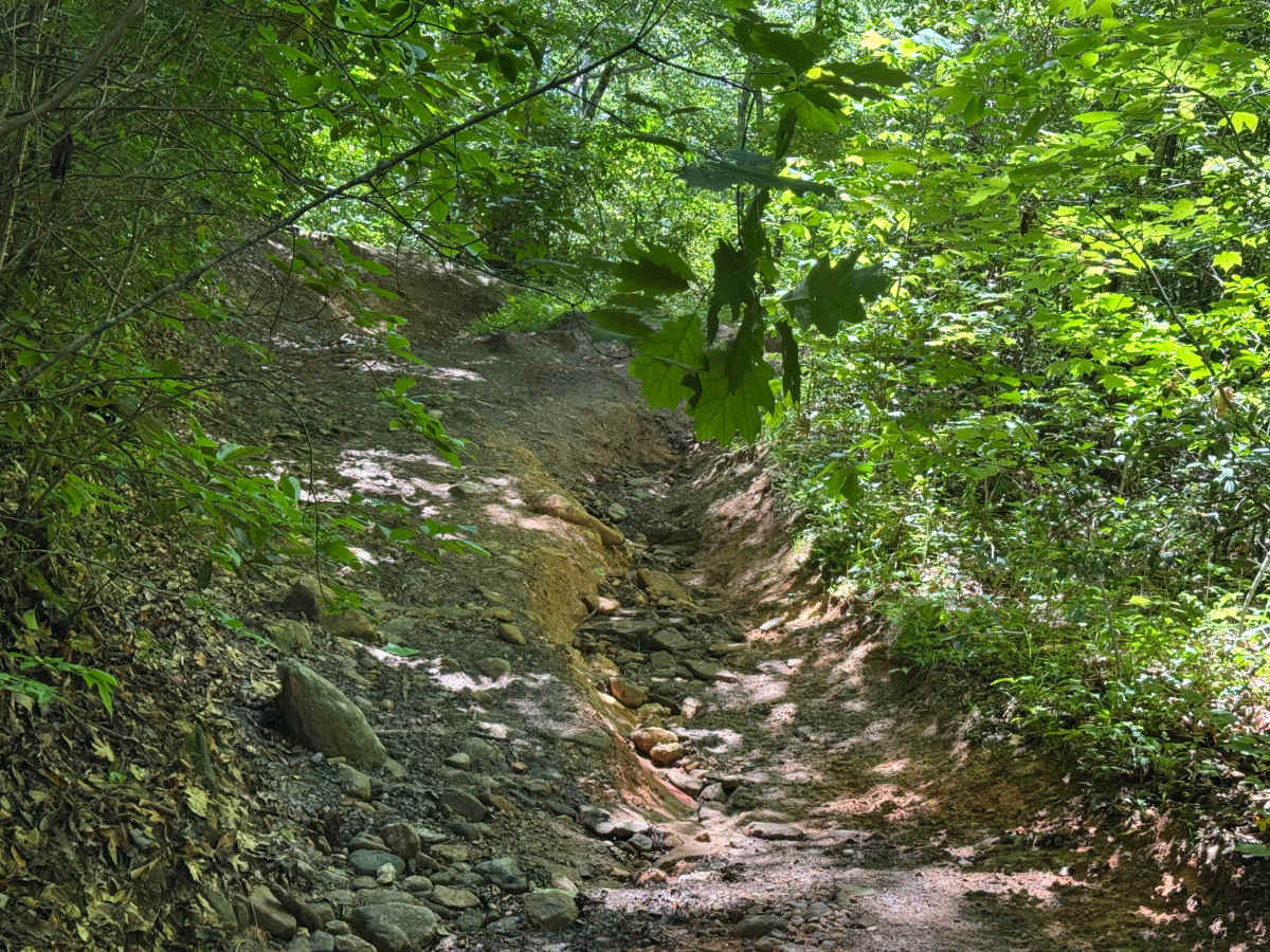
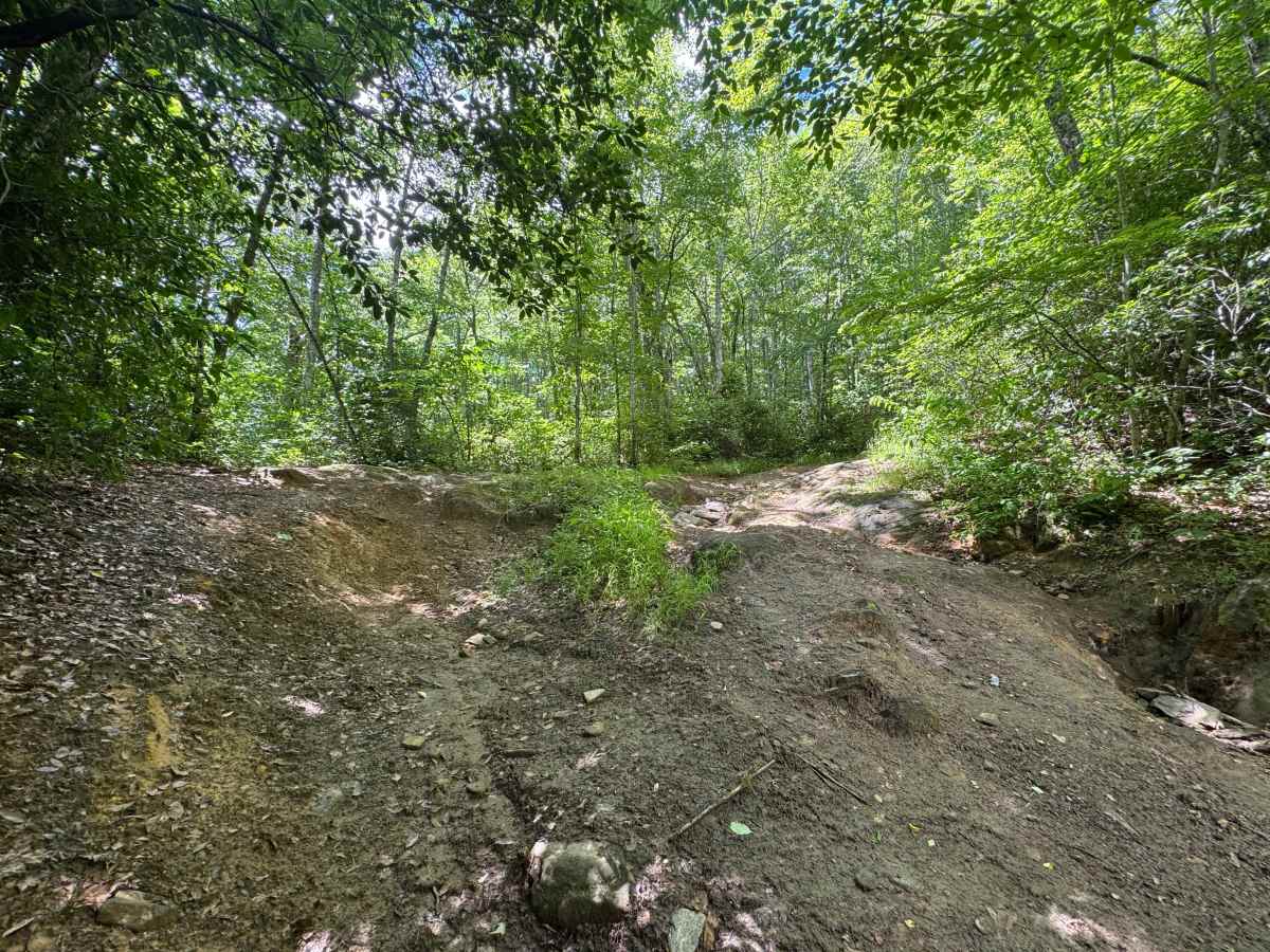
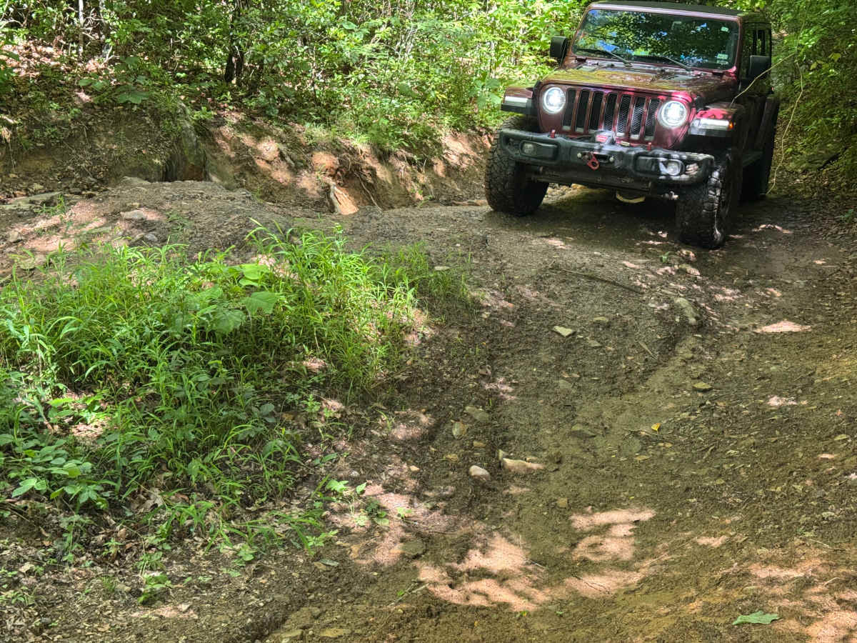
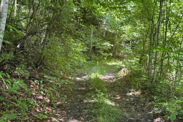
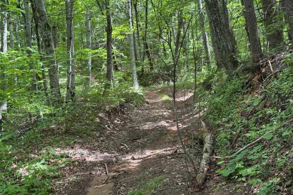
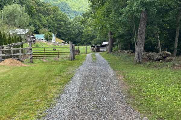
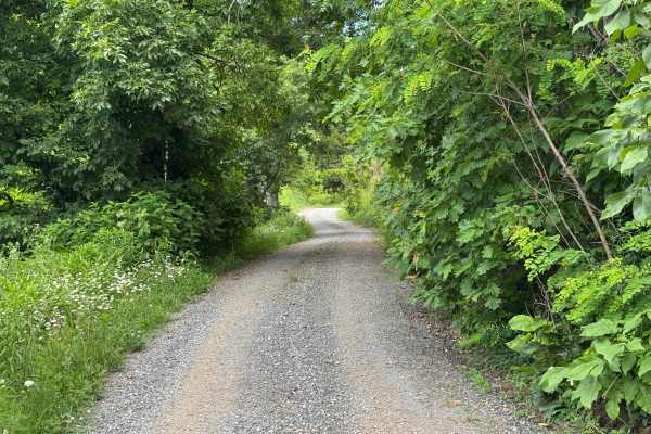
Rough Butt Connector (FS 4669A) is a 0.35-mile point-to-point route that follows a single-lane forest road with few places to pass. The packed dirt and rock surface is not maintained as it winds through heavily forested terrain with a moderate difficulty rating. Despite its short length, this connector packs several technical obstacles into a compact distance, including sections of exposed rock outcrops, off-camber flat rock, deep erosion ruts, and a three-foot ledge climb near the end of the route. Wet weather can significantly increase the challenge, as the trail can become very messy and slick after a rain event. The route terminates at the Piney Mountain Flats (FS 4666) trailhead. Access is restricted to highway-legal vehicles only.

Photos of Rough Butt Connector - FS 4669A

Difficulty

Areas of exposed rock outcrops, off-camber flat rock, deep erosion ruts, and a three-foot ledge climb near the end of the route.

Technical Rating

6

Rough Butt Connector - FS 4669A Trail can be accessed by the following ride types:

  • High Clearance
  • Full Width

Rough Butt Connector - FS 4669A Map

The onX Offroad Difference

onX Offroad combines trail photos, descriptions, difficulty ratings, width restrictions, seasonality, and more in a user-friendly interface. Available on all devices, with offline access and full compatibility with CarPlay and Android Auto. Discover what you're missing today!

Open Trail Map